Brafferton

Settlement in Durham

England

Brafferton

River Skerne at Ketton River Skerne at Ketton
River Skerne at Ketton Credit: john durkin

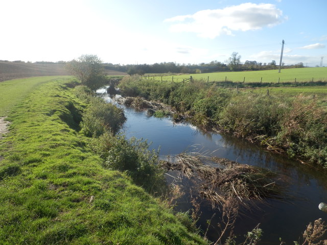
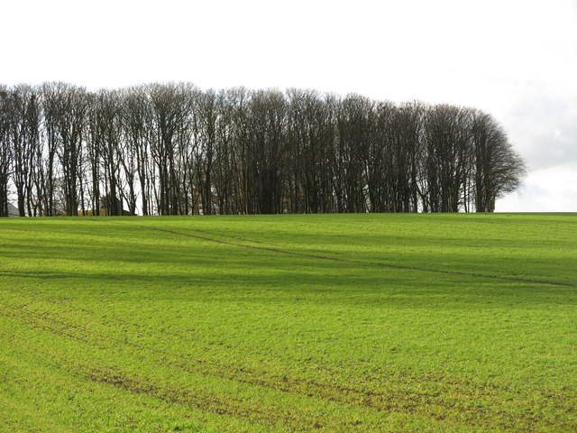
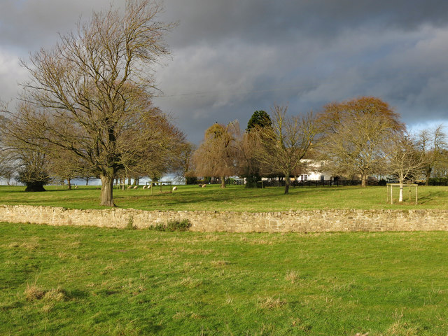
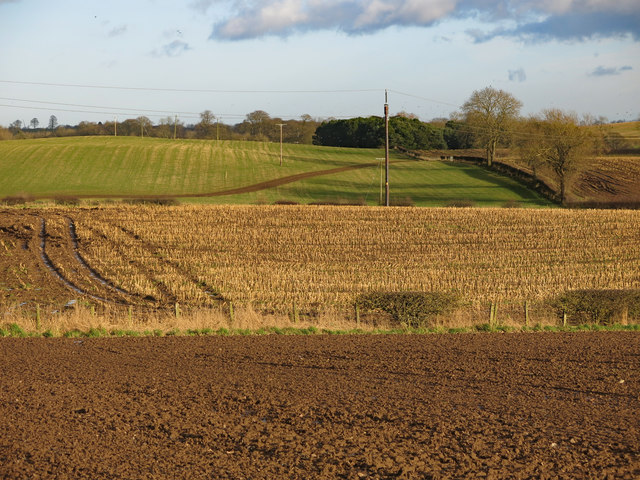
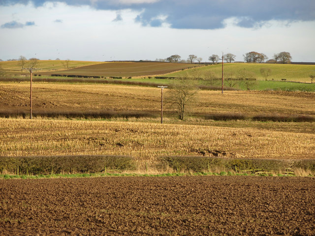
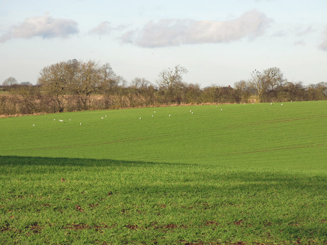
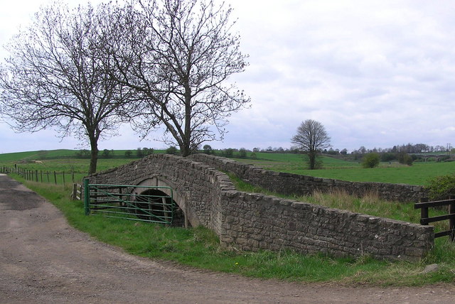
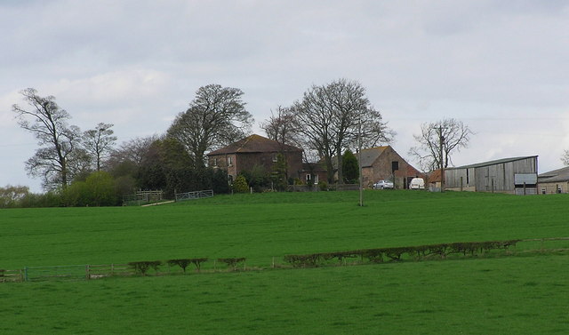
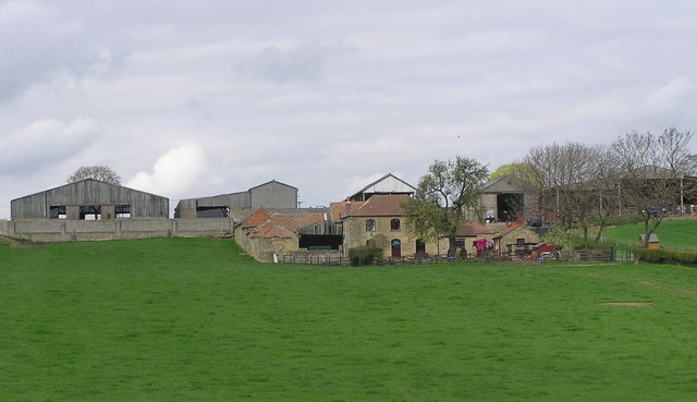
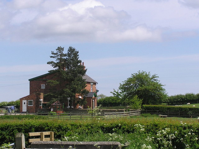
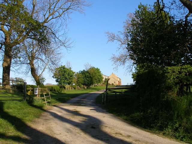
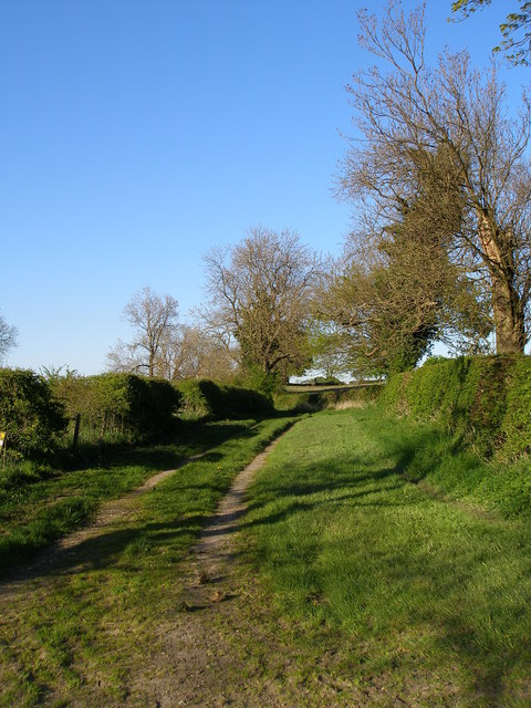
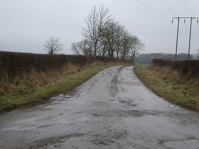
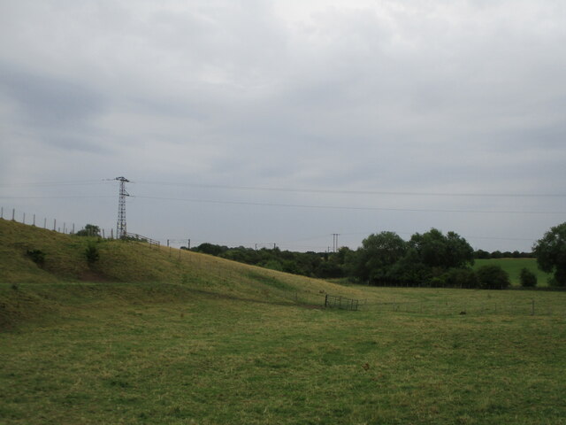
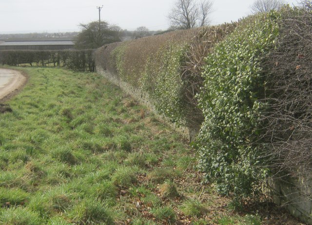
Brafferton is a small village located in County Durham, England. Situated about 5 miles northeast of the city of Durham, it is nestled in a picturesque rural setting. The village is part of the wider civil parish of Great Stainton and is surrounded by beautiful countryside, making it an idyllic retreat for those seeking a peaceful and tranquil environment.

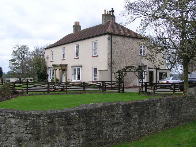
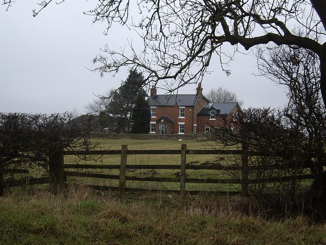
With its origins dating back to medieval times, Brafferton has a rich history that is evident in its architecture and landmarks. The village features traditional stone-built houses, many of which have been lovingly preserved over the centuries. The historic St. John the Baptist Church, a Grade II listed building, stands proudly at the heart of the village and serves as a reminder of the area's heritage.

Despite its small size, Brafferton is a close-knit community with a welcoming atmosphere. The village is home to a number of local amenities, including a primary school, a village hall, and a pub, offering residents and visitors a range of services and social opportunities.

The surrounding countryside provides ample opportunities for outdoor activities, with numerous walking and cycling routes in the area. Additionally, the nearby city of Durham offers a wealth of attractions and amenities, including a renowned university, a majestic cathedral, and a bustling city center, all within easy reach of Brafferton.

Brafferton's combination of natural beauty, historic charm, and convenient location make it an appealing place to live or visit for those seeking a peaceful village lifestyle within close proximity to urban amenities.

If you have any feedback on the listing, please let us know in the comments section below.

Brafferton Images

Images are sourced within 2km of 54.584136/-1.545989 or Grid Reference NZ2921. Thanks to Geograph Open Source API. All images are credited.

River Skerne at Ketton River Skerne at Ketton
River Skerne at Ketton
Farmland and copse north of Ketton Hall
Ketton Hall
Ketton Hall
Farmland south of East Ketton
Farmland south of East Ketton (2)
Farmland north of Ketton Hall
Ketton Packhorse  Bridge On the course of Ketton Road an ancient Drove Road. Medieval in date (1066-1540). The course of the river has been changed and now runs to the south.
Ketton Packhorse Bridge
On the course of Ketton Road an ancient Drove Road. Medieval in date (1066-1540). The course of the river has been changed and now runs to the south.
Ketton Hall Ketton Hall was the home of Charles Colling, a well-known stock breeder. In 1784 he is said to have paid eight guineas for a bull from a neighbouring farmer, and after naming it 'Hubback', he used it to breed Durham short-horns. He received the first ever 100-guinea fee paid for a Shorthorn and, when he gave up farming, his bull, 'Comet' fetched 1,000 guineas.
Ketton Hall
Ketton Hall was the home of Charles Colling, a well-known stock breeder. In 1784 he is said to have paid eight guineas for a bull from a neighbouring farmer, and after naming it 'Hubback', he used it to breed Durham short-horns. He received the first ever 100-guinea fee paid for a Shorthorn and, when he gave up farming, his bull, 'Comet' fetched 1,000 guineas.
East Ketton :  Farm
East Ketton : Farm
Peartree  House Farm : with Ketton Hall to the right.
Peartree House
Farm : with Ketton Hall to the right.
Whinfield  House From Green Lane.
Whinfield House
From Green Lane.
Road to Lovesome Hill Farm
High House Lane from the junction with Lovesome Hill farm road
Lovesome Hill Farm sign
Whinfield House Seen from Lime Lane.
Whinfield House
Seen from Lime Lane.
Access to Whinfield House and Green Lane From Lime Lane.
Access to Whinfield House and Green Lane
From Lime Lane.
Field on Ketton Lane
Ha-ha at the south east boundary of Ketton Hall
Show me another place!

Brafferton is located at Grid Ref: NZ2921 (Lat: 54.584136, Lng: -1.545989)

Unitary Authority: Darlington

Police Authority: Durham

What 3 Words

///lamp.peanut.gross. Near Coatham Mundeville, Co. Durham

Nearby Locations

Brafferton

Related Wikis

Brafferton, County Durham

Brafferton is a village and civil parish in County Durham, England. It is administered as part of the borough of Darlington. The population of Brafferton...

Coatham Mundeville

Coatham Mundeville is a village in the borough of Darlington and the ceremonial county of County Durham, England. It is situated a short distance from...

Redcar Field

Redcar Field is a Site of Special Scientific Interest in the Darlington district of County Durham, England. It is situated just north of Darlington, about...

Aycliffe railway station

Aycliffe railway station served the village of Aycliffe in County Durham, England. The railway station was served by trains on the East Coast Main Line...

Nearby Amenities

Located within 500m of 54.584136,-1.545989
Brafferton
Place: village
Source: NPE
Wikidata: Q9178667
Wikipedia: en:Brafferton, County Durham
Lat/Long: 54.5836006/-1.547384
Barrier: stile
Foot: yes
Lat/Long: 54.5854832/-1.5399617
Railway: signal
Railway Signal Direction: backward
Railway Signal Main: GB-NR:main
Railway Signal Main Design: combined
Railway Signal Main Form: light
Railway Signal Main Height: normal
Railway Signal Main States: red;green;yellow;flashing_yellow;double_yellow;flashing_double_yellow
Railway Signal Operator: Network Rail
Railway Signal Position: left
Lat/Long: 54.5819246/-1.5490647
Railway: signal
Railway Signal Direction: forward
Railway Signal Main: GB-NR:main
Railway Signal Main Design: combined
Railway Signal Main Form: light
Railway Signal Main Height: normal
Railway Signal Main States: red;green;yellow;flashing_yellow;double_yellow;flashing_double_yellow
Railway Signal Operator: Network Rail
Railway Signal Position: left
Ref: T 477
Lat/Long: 54.581919/-1.5491552
Railway: signal
Railway Signal Direction: forward
Railway Signal Main: GB-NR:main
Railway Signal Main Design: combined
Railway Signal Main Form: light
Railway Signal Main Height: normal
Railway Signal Main States: red;green;yellow;flashing_yellow;double_yellow;flashing_double_yellow
Railway Signal Operator: Network Rail
Railway Signal Position: left
Lat/Long: 54.5800317/-1.5469593
Waste Basket
Waste: dog_excrement
Lat/Long: 54.5826801/-1.5491247
Power: pole
Lat/Long: 54.5851029/-1.5532887
Power: pole
Lat/Long: 54.5856097/-1.5525028
Power: pole
Lat/Long: 54.5863184/-1.551894
Power: pole
Lat/Long: 54.5870318/-1.5512851
Power: pole
Lat/Long: 54.5811058/-1.5516834
Power: pole
Lat/Long: 54.5806247/-1.5498421
Power: pole
Lat/Long: 54.5801428/-1.5479699
Dairy Farm
Place: farm
Source Name: OS_OpenData_StreetView
Lat/Long: 54.5839869/-1.5484875
Swinton House Farm
Place: farm
Source Name: OS_OpenData_StreetView
Lat/Long: 54.5845683/-1.5467468
Give Way
Direction: backward
Lat/Long: 54.5829411/-1.549245
Public Bookcase
Image: https://www.geograph.org.uk/photo/5258502
Note: No longer a bus stop?
Public Bookcase Type: shelter
Lat/Long: 54.582923/-1.5490656
Barrier: stile
Lat/Long: 54.5810584/-1.5515211
Barrier: stile
Stile: stepover
Lat/Long: 54.5824445/-1.5491776
Post Box
Operator: Royal Mail
Post Box Type: pillar
Ref: DL1 62
Lat/Long: 54.5836753/-1.5473691
Manor Farm
Place: farm
Source Name: OS_OpenData_StreetView
Lat/Long: 54.5839286/-1.5453078
The data included in this document is from www.openstreetmap.org. The data is made available under ODbL.

Have you been to Brafferton?

Leave your review of Brafferton below (or comments, questions and feedback).