Village, West
Settlement in Glamorgan
Wales
Village, West
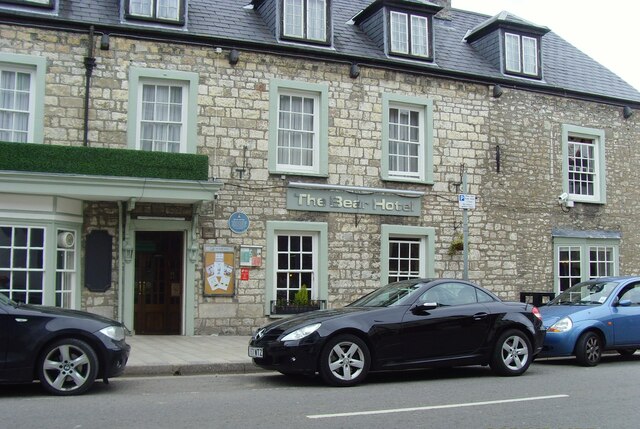
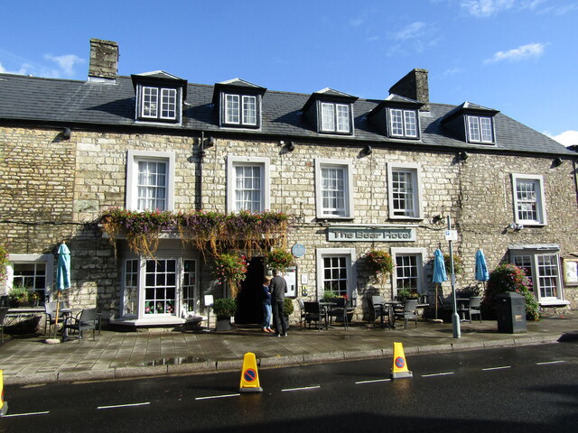
Village, West Glamorgan is a small coastal town located in the county of West Glamorgan, Wales. Situated on the southern coast of the country, it is nestled between the larger towns of Town A and Town B. With a population of around 5,000 residents, Village offers a close-knit community feel with a picturesque setting.
The town is well-known for its stunning coastline, boasting golden sandy beaches and breathtaking views of the sea. This makes it a popular destination for tourists and locals alike, particularly during the summer months. The beach also provides opportunities for various water sports activities such as surfing, sailing, and swimming.
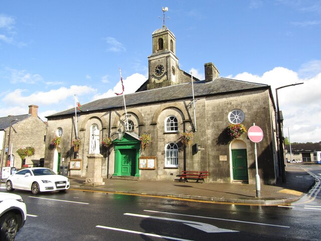
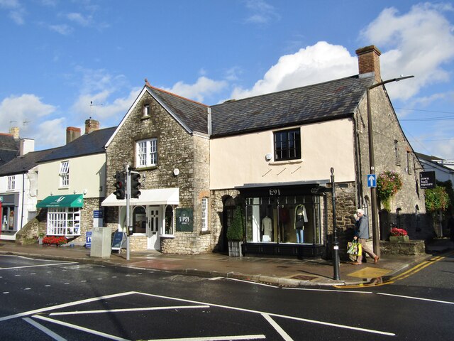
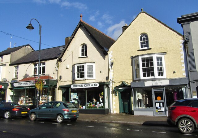
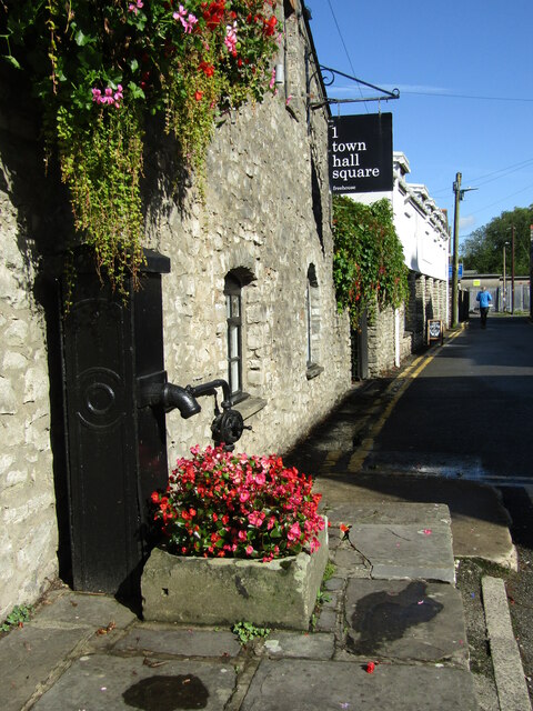
Village is home to a range of amenities and services, including several shops, cafes, and restaurants. There is also a small market held every weekend, offering local produce and crafts. The town has a primary school, a community center, and a library, providing essential resources for its residents.
For nature enthusiasts, there are numerous walking trails and nature reserves in the surrounding area, allowing visitors to explore the diverse wildlife and natural beauty of West Glamorgan. Additionally, the town is well-connected to the rest of the county by a reliable bus service, making it easy to access other nearby attractions.
Overall, Village, West Glamorgan is a charming coastal town that offers a peaceful and idyllic lifestyle. With its stunning beaches, community spirit, and range of amenities, it is an attractive place to live or visit for those seeking a slower pace of life and natural beauty.
If you have any feedback on the listing, please let us know in the comments section below.
Village, West Images
Images are sourced within 2km of 51.463096/-3.4595056 or Grid Reference SS9874. Thanks to Geograph Open Source API. All images are credited.


Village, West is located at Grid Ref: SS9874 (Lat: 51.463096, Lng: -3.4595056)
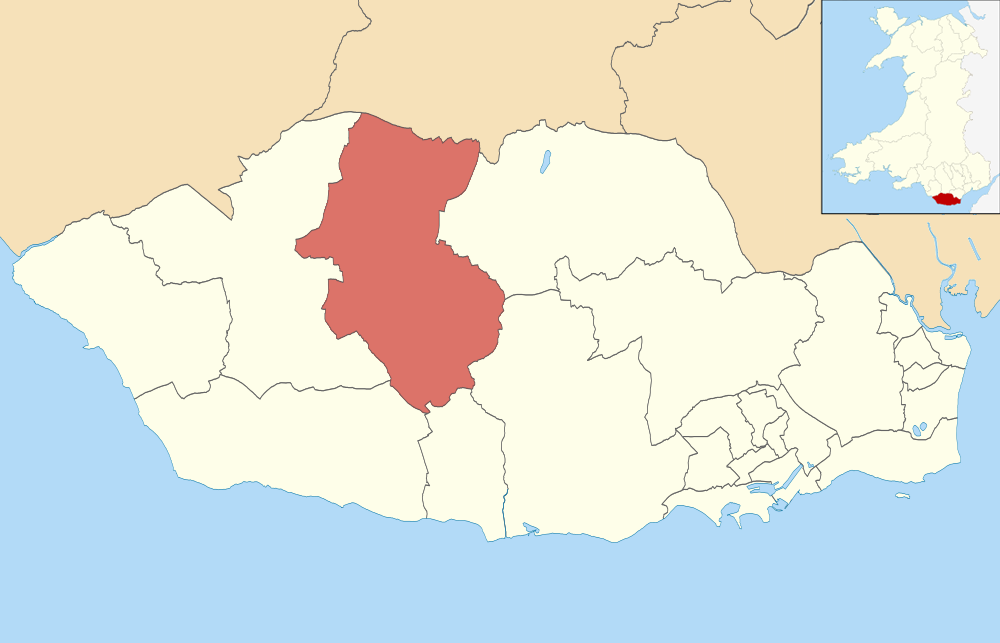
Unitary Authority: The Vale of Glamorgan
Police Authority: South Wales
What 3 Words
///pranced.drifter.satellite. Near Cowbridge, Vale of Glamorgan
Related Wikis

Cowbridge Cricket Ground
Cowbridge Cricket Ground is a cricket ground in Cowbridge, Glamorgan. The first recorded match held on the ground came in 1895 when the creator of the...
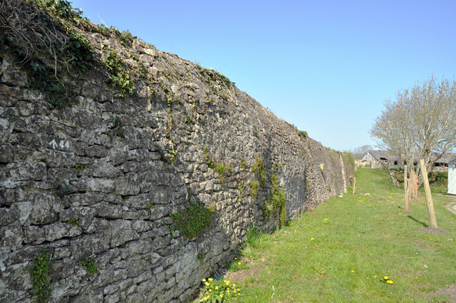
Cowbridge town wall
Cowbridge town wall is a Grade II*-listed medieval wall in the small market town of Cowbridge in the Vale of Glamorgan, south Wales. The walls were built...

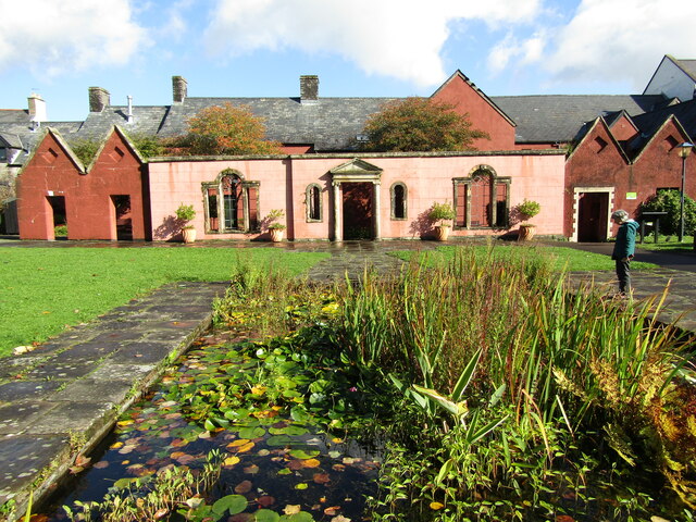
Cowbridge Physic Garden
The Cowbridge Physic Garden is located in Cowbridge, Vale of Glamorgan in South Wales. The 0.5 acres (0.20 ha) physic garden was created by the Welsh Historic...
Cowbridge (electoral ward)
Cowbridge is the name of an electoral ward in the Vale of Glamorgan, Wales, which covers its namesake town of Cowbridge as well as the neighbouring villages...
Nearby Amenities
Located within 500m of 51.463096,-3.4595056Have you been to Village, West?
Leave your review of Village, West below (or comments, questions and feedback).