West Porton
Settlement in Renfrewshire
Scotland
West Porton
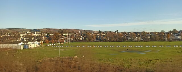
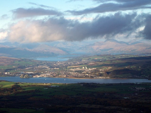
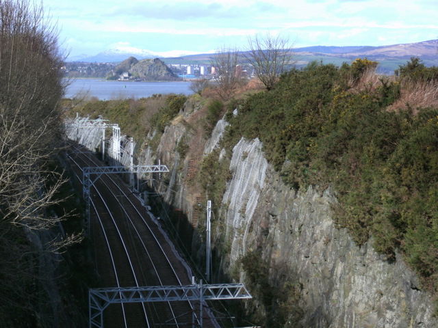
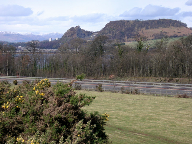
West Porton is a small village located in the historic county of Renfrewshire, Scotland. Situated on the banks of the River Clyde, it is approximately 10 miles west of the city of Glasgow. The village is surrounded by picturesque countryside, offering residents and visitors a tranquil and scenic setting.
West Porton has a rich history, with records dating back to the 12th century. The village was once a significant port, serving as a trading hub and providing access to the Clyde for ships. Today, remnants of its maritime past can still be seen in the form of old warehouses and docks along the river.
Despite its small size, West Porton boasts a close-knit community and a range of amenities. The village has a primary school, a community center, and a local pub, which serves as a popular gathering spot for residents. There are also several shops and businesses, catering to the everyday needs of the population.
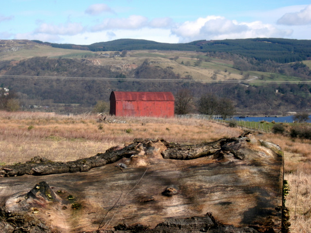
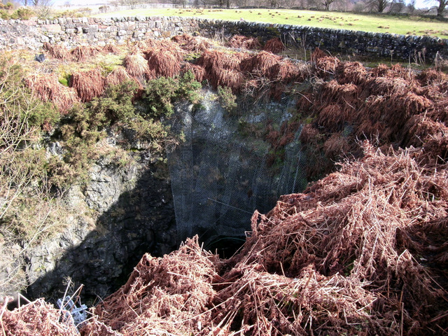
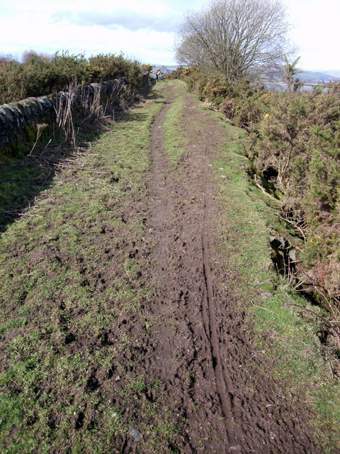
The surrounding area offers numerous opportunities for outdoor activities. Residents can enjoy scenic walks along the riverbank, fishing in the Clyde, or exploring the nearby countryside. Additionally, there are several golf courses within a short distance of West Porton, making it an ideal location for golf enthusiasts.
With its peaceful setting, rich history, and strong sense of community, West Porton is a sought-after place to live for those seeking a quieter lifestyle while still being within easy reach of urban amenities.
If you have any feedback on the listing, please let us know in the comments section below.
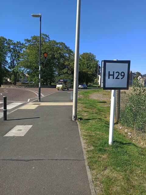
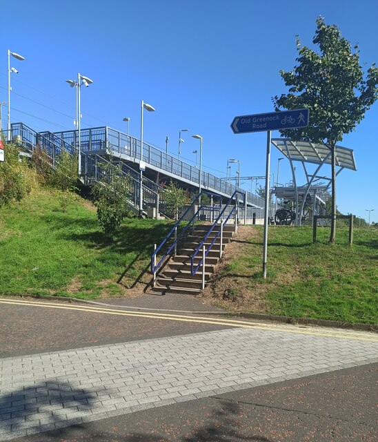
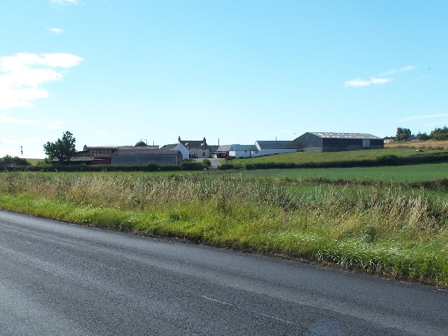
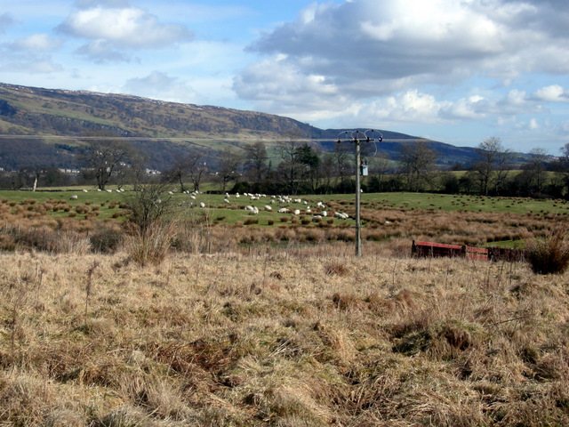
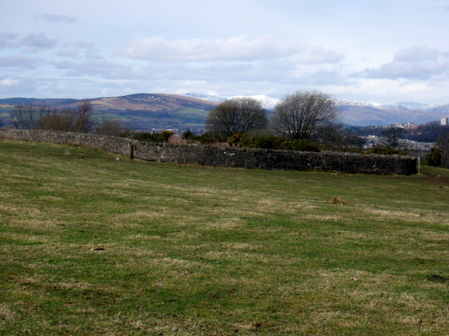
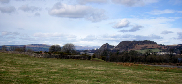
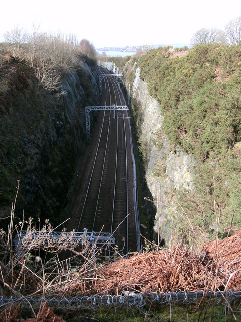
West Porton Images
Images are sourced within 2km of 55.90642/-4.5130584 or Grid Reference NS4371. Thanks to Geograph Open Source API. All images are credited.


West Porton is located at Grid Ref: NS4371 (Lat: 55.90642, Lng: -4.5130584)
Unitary Authority: Renfrewshire
Police Authority: Renfrewshire and Inverclyde
What 3 Words
///homecare.ferrets.sorry. Near Bishopton, Renfrewshire
Nearby Locations
Related Wikis
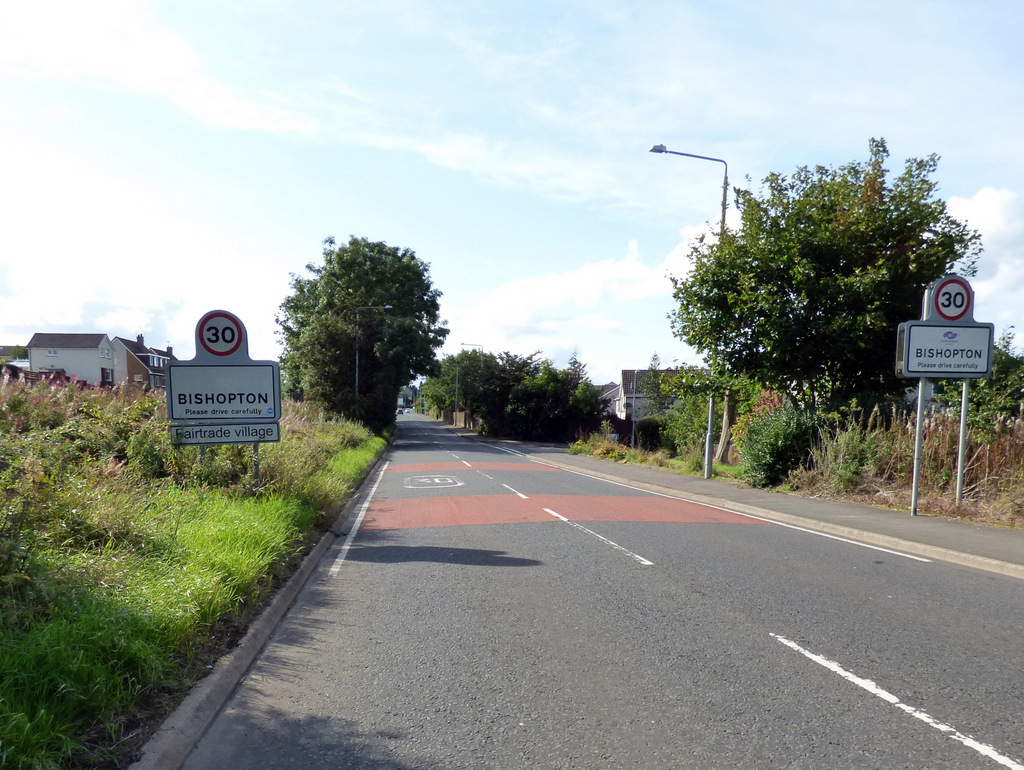
Bishopton, Renfrewshire
Bishopton (/bɪʃəptən/) (Scots: Bishoptoun; Scottish Gaelic: Baile an Easbaig) is a village in Renfrewshire, Scotland. It is located around 2 miles (3 km...

ROF Bishopton
The Royal Ordnance Factory was a WW2 Ministry of Supply Explosive Factory. It is sited adjacent to the village of Bishopton in Renfrewshire, Scotland....

Bishopton railway station
Bishopton railway station serves the village of Bishopton in Renfrewshire, Scotland. The station is on the Inverclyde line, 13 miles (21 km) west of Glasgow...
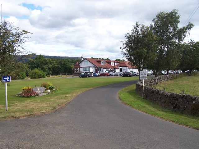
Erskine Golf Club
Erskine Golf Club is on the banks of the River Clyde at Erskine, Renfrewshire. It sits on the border between Erskine and Bishopton. The club takes its...
Nearby Amenities
Located within 500m of 55.90642,-4.5130584Have you been to West Porton?
Leave your review of West Porton below (or comments, questions and feedback).