Kingston
Settlement in Renfrewshire
Scotland
Kingston
Kingston is a small village located in the county of Renfrewshire, Scotland. It is situated approximately 10 miles southwest of the town of Paisley and around 20 miles west of the bustling city of Glasgow.
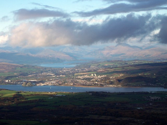
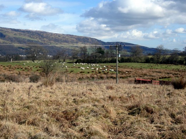
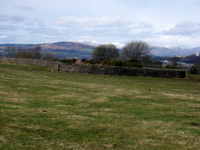
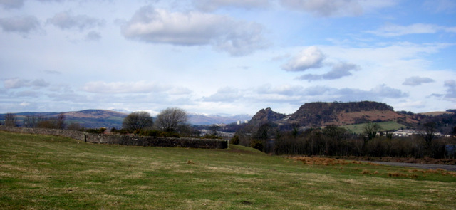
The village is nestled on the banks of the River Gryfe, providing picturesque views and a peaceful environment. With a population of just over 1,000 residents, Kingston offers a close-knit community atmosphere where neighbors know each other by name.
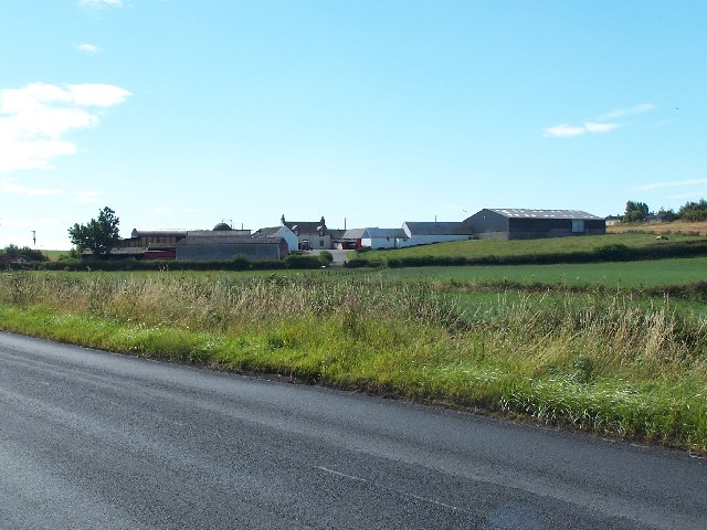
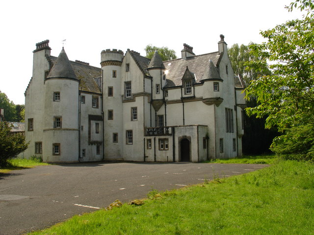
Despite its small size, Kingston boasts a rich history dating back centuries. The village is home to several historical landmarks, including the Kingston Mains Farm, which dates back to the 17th century. The nearby Kingston Bridge, a prominent feature of the village, offers a scenic crossing over the River Gryfe.
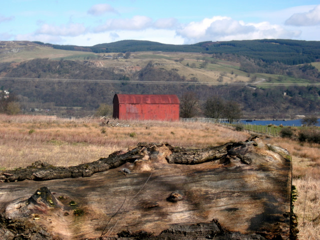
The surrounding countryside provides ample opportunities for outdoor activities, such as hiking, fishing, and cycling. The nearby Gleniffer Braes Country Park offers stunning panoramic views of the surrounding countryside, making it a popular spot for nature enthusiasts and families alike.
While Kingston may not have a wide array of amenities, the village is within easy reach of larger towns and cities, providing residents with access to shopping centers, restaurants, and leisure facilities.
Overall, Kingston offers a peaceful and picturesque setting, making it an attractive place to live for those seeking a quieter lifestyle while still being within reach of larger urban areas.
If you have any feedback on the listing, please let us know in the comments section below.
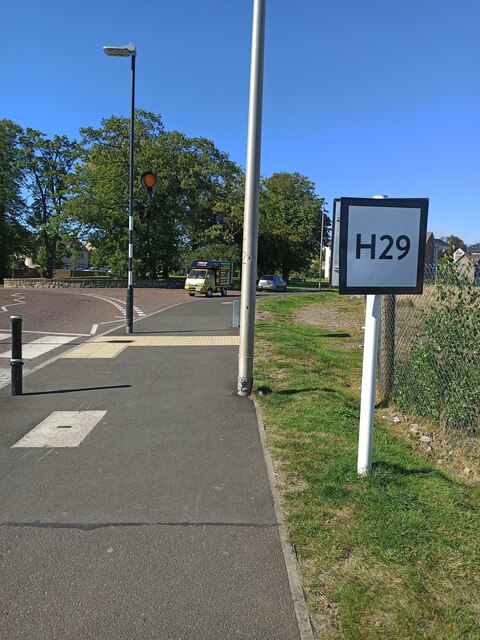
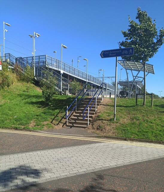
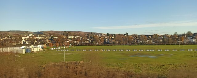
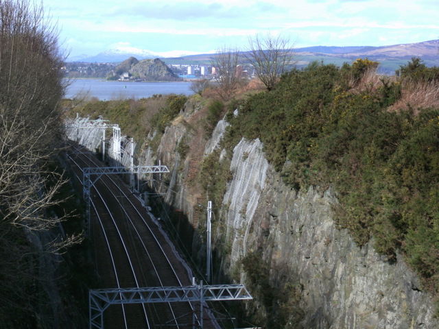
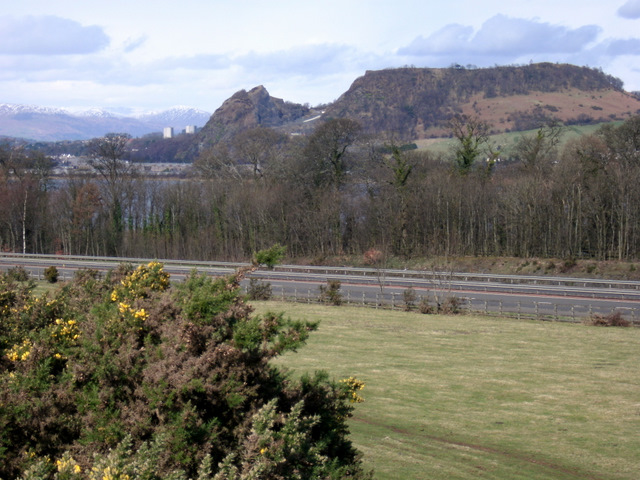
Kingston Images
Images are sourced within 2km of 55.90642/-4.5130584 or Grid Reference NS4371. Thanks to Geograph Open Source API. All images are credited.


Kingston is located at Grid Ref: NS4371 (Lat: 55.90642, Lng: -4.5130584)
Unitary Authority: Renfrewshire
Police Authority: Renfrewshire and Inverclyde
What 3 Words
///homecare.ferrets.sorry. Near Bishopton, Renfrewshire
Nearby Locations
Related Wikis
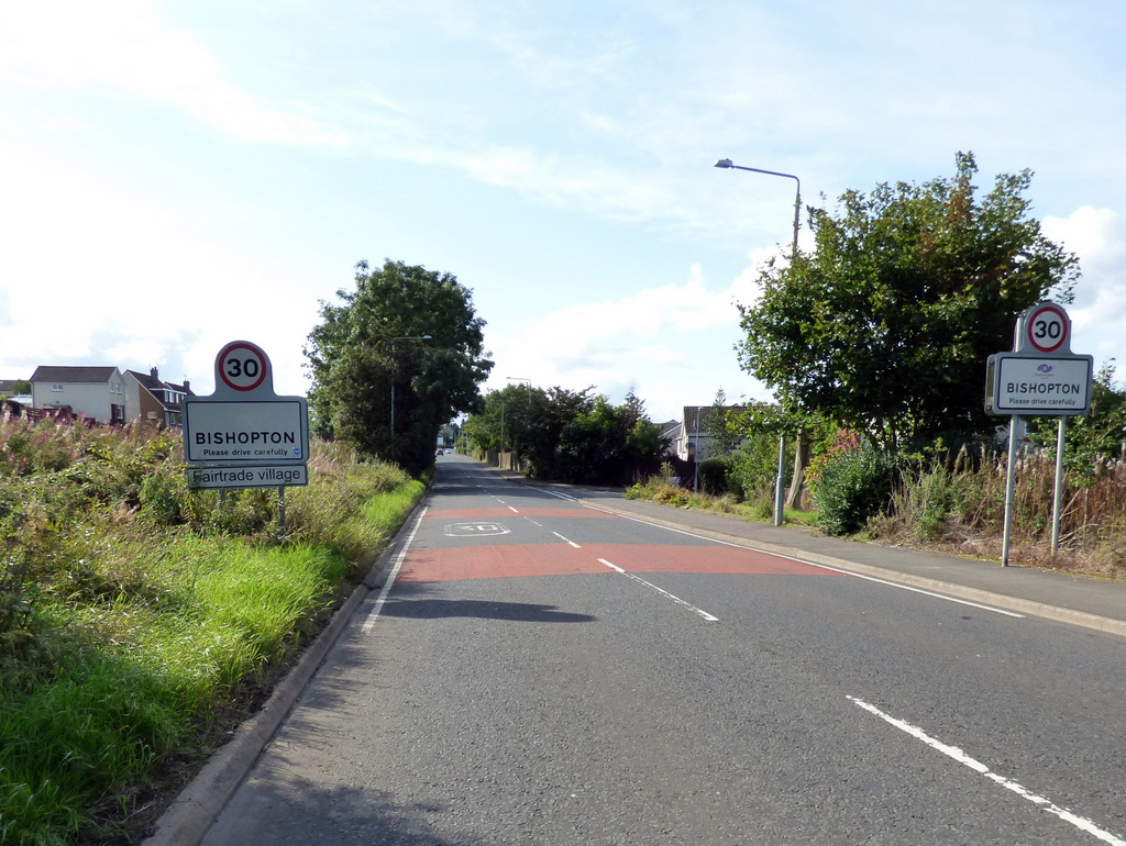
Bishopton, Renfrewshire
Bishopton (/bɪʃəptən/) (Scots: Bishoptoun; Scottish Gaelic: Baile an Easbaig) is a village in Renfrewshire, Scotland. It is located around 2 miles (3 km...

ROF Bishopton
The Royal Ordnance Factory was a WW2 Ministry of Supply Explosive Factory. It is sited adjacent to the village of Bishopton in Renfrewshire, Scotland....

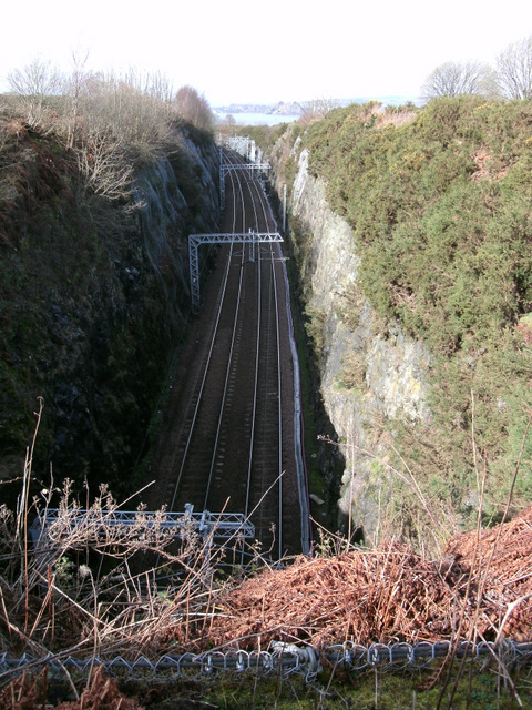
Bishopton railway station
Bishopton railway station serves the village of Bishopton in Renfrewshire, Scotland. The station is on the Inverclyde line, 13 miles (21 km) west of Glasgow...
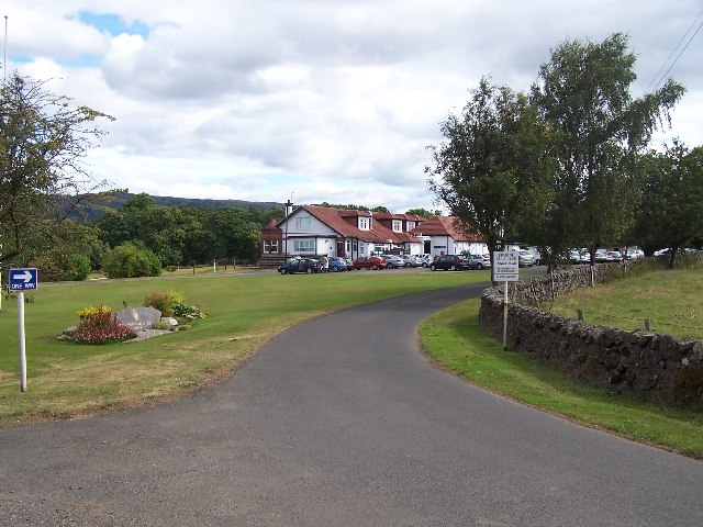
Erskine Golf Club
Erskine Golf Club is on the banks of the River Clyde at Erskine, Renfrewshire. It sits on the border between Erskine and Bishopton. The club takes its...
Nearby Amenities
Located within 500m of 55.90642,-4.5130584Have you been to Kingston?
Leave your review of Kingston below (or comments, questions and feedback).