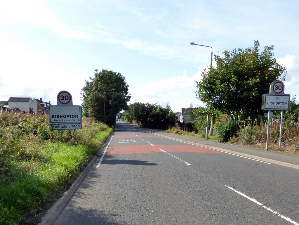
Bishopton
Settlement in Renfrewshire
Scotland
Bishopton
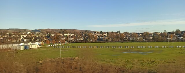
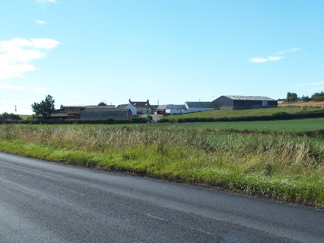
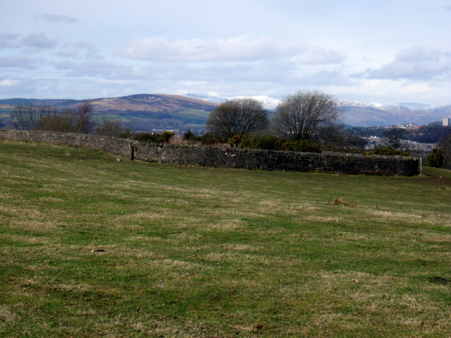
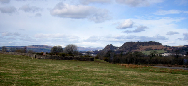
Bishopton is a small village located in the council area of Renfrewshire, Scotland. Situated approximately 13 miles west of Glasgow, it is nestled along the banks of the River Clyde. Bishopton has a population of around 5,000 residents and is known for its picturesque surroundings and close proximity to nature.
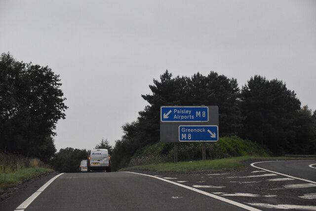
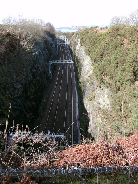
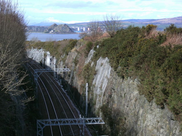
The village is well-connected to nearby towns and cities, with easy access to major transportation routes including the M8 motorway and the nearby railway station. This makes Bishopton an attractive place to live for those who work in Glasgow but prefer a quieter, more rural lifestyle.
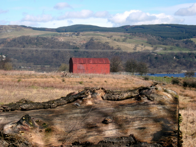
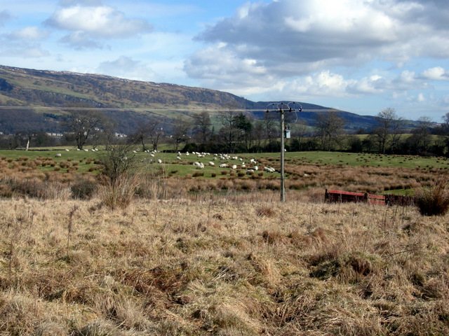
Bishopton boasts a range of amenities, including a primary school, community center, and a few local shops and restaurants. However, residents often rely on nearby towns for more extensive shopping and entertainment options. The village is surrounded by beautiful countryside, providing ample opportunities for outdoor activities such as hiking and cycling.
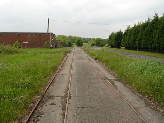
One of Bishopton's standout features is the presence of the former Royal Ordnance Factory, which played a significant role during World War II. Today, the site has been transformed into an attractive residential development known as Dargavel Village, featuring a mix of modern housing, green spaces, and community facilities.
Overall, Bishopton offers a tranquil and scenic setting, with a close-knit community and easy access to urban amenities. It is a sought-after location for those seeking a peaceful lifestyle while remaining well-connected to the wider region.
If you have any feedback on the listing, please let us know in the comments section below.
Bishopton Images
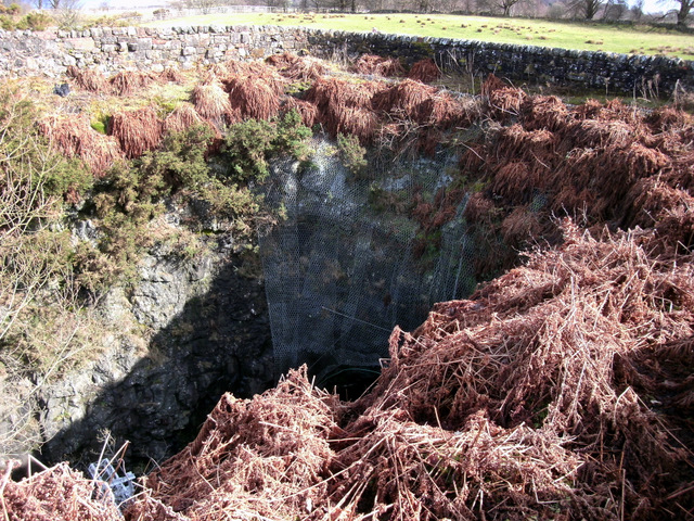
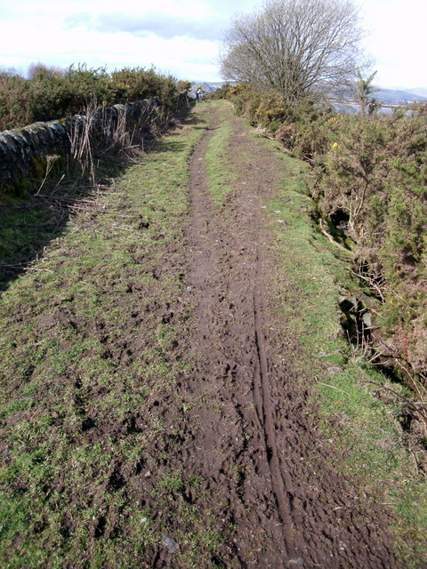
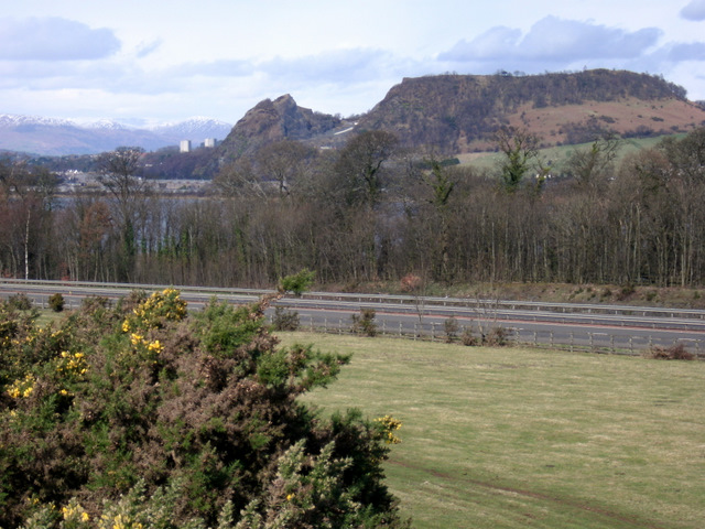
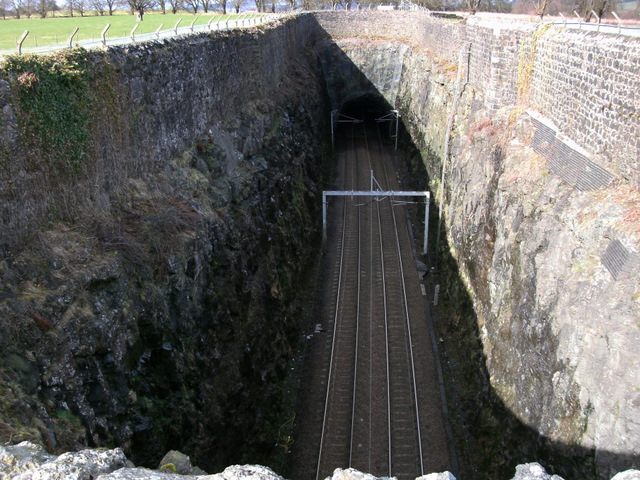
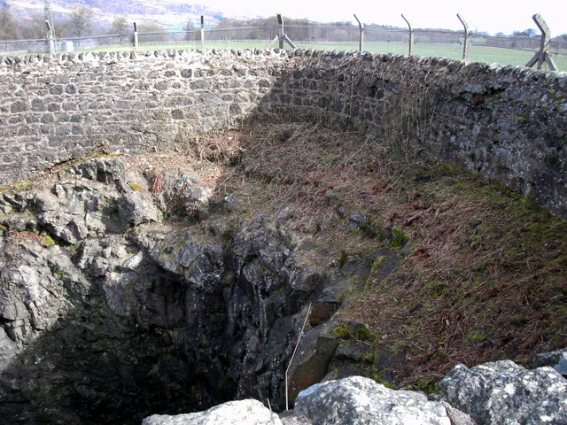
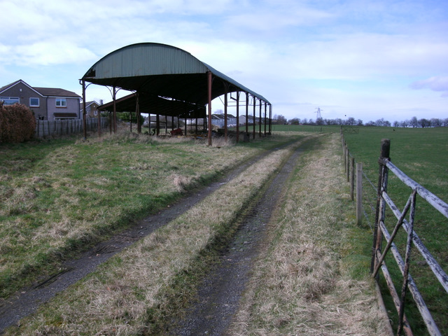
Images are sourced within 2km of 55.910346/-4.5078238 or Grid Reference NS4371. Thanks to Geograph Open Source API. All images are credited.
Bishopton is located at Grid Ref: NS4371 (Lat: 55.910346, Lng: -4.5078238)
Unitary Authority: Renfrewshire
Police Authority: Renfrewshire and Inverclyde
What 3 Words
///valued.health.unloading. Near Bishopton, Renfrewshire
Nearby Locations
Related Wikis
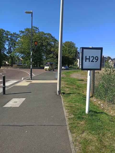
Bishopton, Renfrewshire
Bishopton (/bɪʃəptən/) (Scots: Bishoptoun; Scottish Gaelic: Baile an Easbaig) is a village in Renfrewshire, Scotland. It is located around 2 miles (3 km...
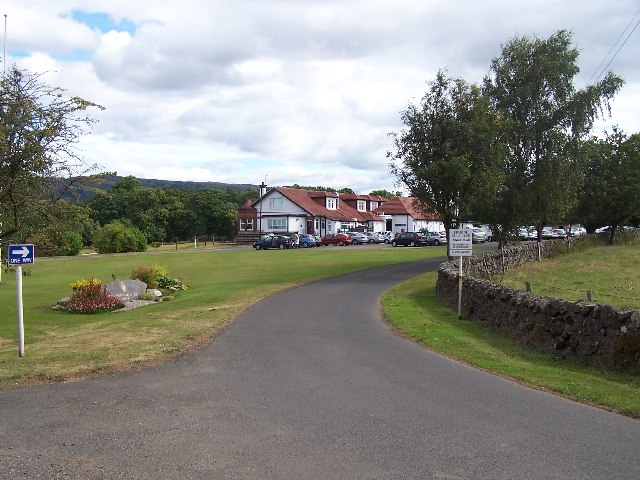
Erskine Golf Club
Erskine Golf Club is on the banks of the River Clyde at Erskine, Renfrewshire. It sits on the border between Erskine and Bishopton. The club takes its...
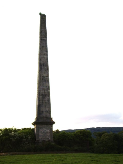
Blantyre Monument
Blantyre Monument is a commemorative stone in Erskine, Renfrewshire. The monument is in the obelisk style. It is situated adjacent to the B815 road; in...

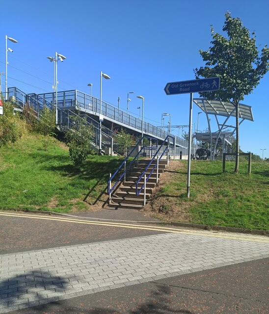
Bishopton railway station
Bishopton railway station serves the village of Bishopton in Renfrewshire, Scotland. The station is on the Inverclyde line, 13 miles (21 km) west of Glasgow...
Nearby Amenities
Located within 500m of 55.910346,-4.5078238Have you been to Bishopton?
Leave your review of Bishopton below (or comments, questions and feedback).