End, West

Settlement in Suffolk East Suffolk

England

End, West

Waiting for Life to Emerge Large field near Frostenden Hall.
Waiting for Life to Emerge Credit: Sandy Gerrard

End, West Suffolk is a small village located in the county of Suffolk, England. Situated in the beautiful West Suffolk countryside, the village is known for its picturesque landscapes and tranquil atmosphere. With a population of approximately 500 residents, it is a close-knit community that exudes a strong sense of community spirit.

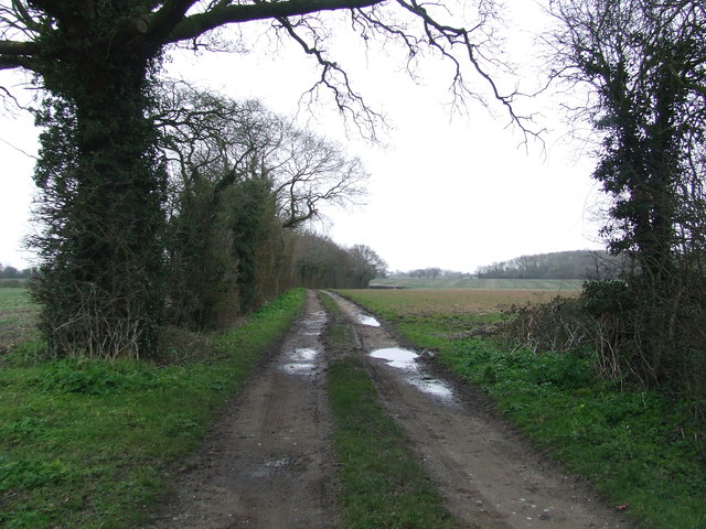
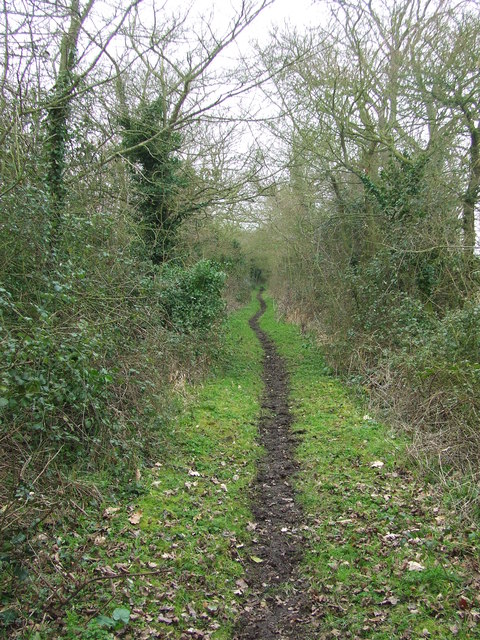
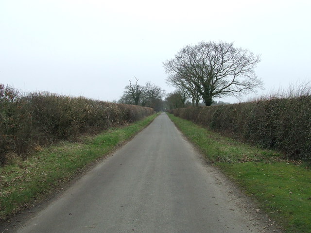
The village is surrounded by lush green fields and rolling hills, making it an ideal destination for nature lovers and those seeking a peaceful retreat. The area is home to a variety of wildlife, including birds, rabbits, and deer, making it a haven for nature enthusiasts and photographers.

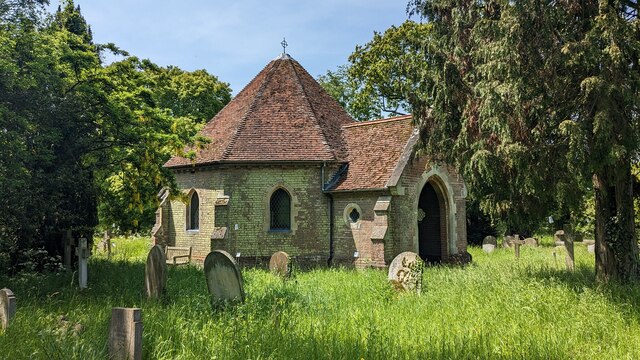
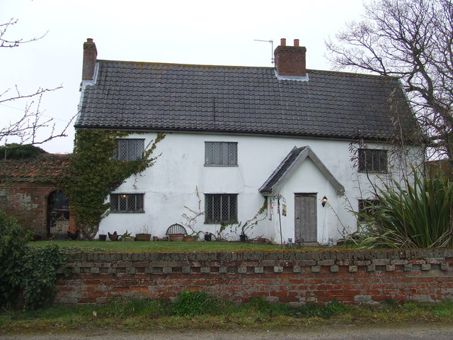
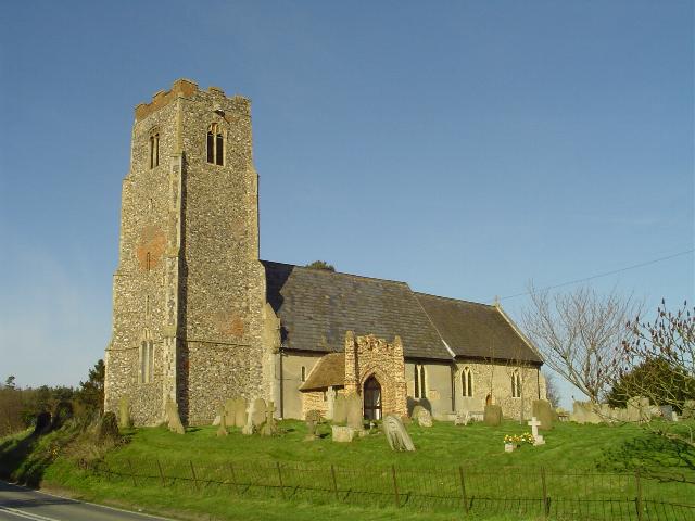
End, West Suffolk boasts a rich history that is evident in its architecture and landmarks. The village church, St. Mary's Church, is a prominent feature, dating back to the 12th century. Its stunning architecture and stained glass windows make it a popular destination for history buffs and those interested in religious heritage.

Despite its small size, the village offers a range of amenities and services to cater to the needs of its residents. These include a village hall, a primary school, and a local pub, where locals gather to socialize and unwind.

The surrounding countryside provides ample opportunities for outdoor activities such as hiking, cycling, and horseback riding. Additionally, the village is within close proximity to larger towns and cities, making it convenient for residents to access a wider range of amenities and services.

Overall, End, West Suffolk is a charming village that offers a serene and idyllic lifestyle, perfect for those seeking a peaceful countryside retreat with access to modern conveniences.

If you have any feedback on the listing, please let us know in the comments section below.
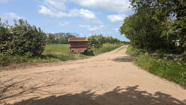
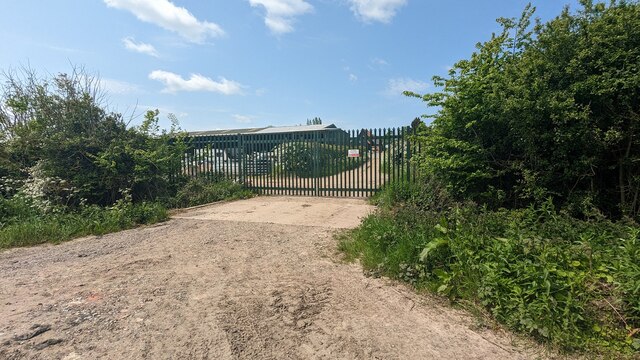
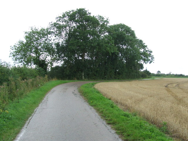
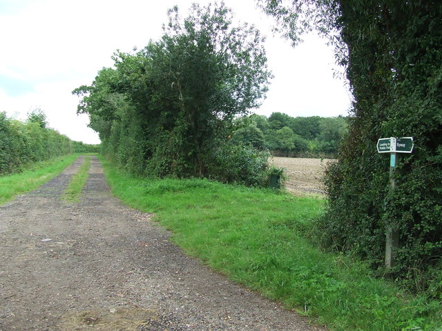
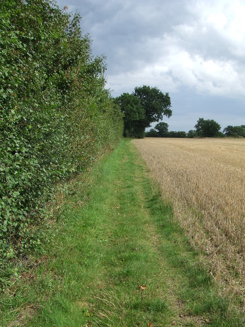
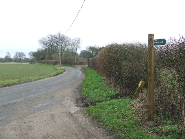
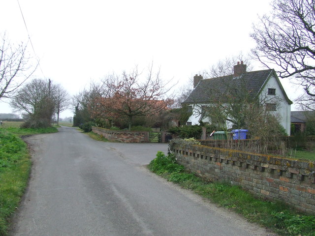
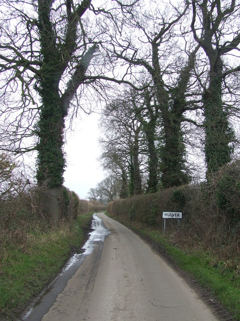
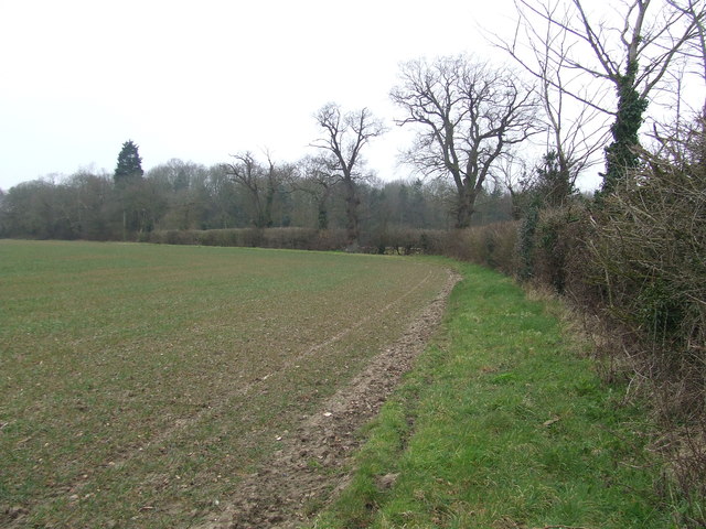
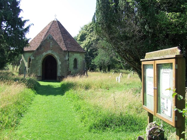
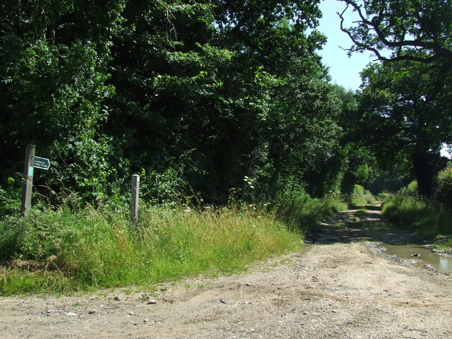
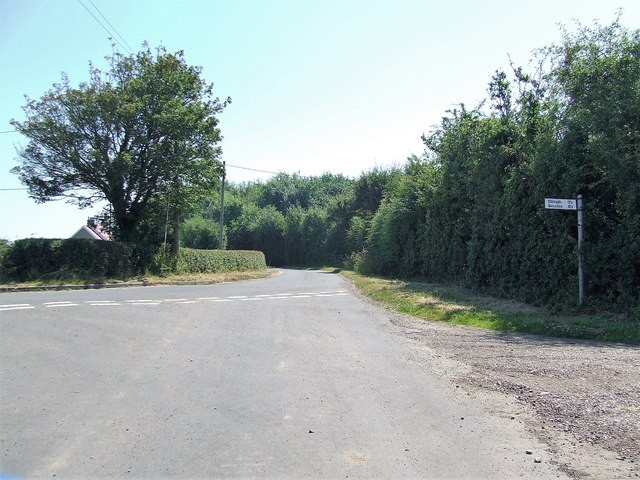
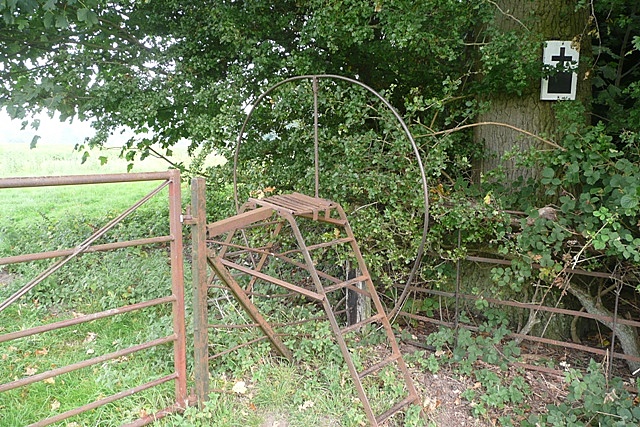
End, West Images

Images are sourced within 2km of 52.393358/1.6249054 or Grid Reference TM4683. Thanks to Geograph Open Source API. All images are credited.

Waiting for Life to Emerge Large field near Frostenden Hall.
Waiting for Life to Emerge
Large field near Frostenden Hall.
Green Lane at the Primrose Lane Junction
End of the Footpath Gate denotes the end of a rather pointless footpath. From this point the only option is to return back along the way you have just walked.  A sign at the previous junction denoting the fact that it is a dead-end would have been helpful.
End of the Footpath
Gate denotes the end of a rather pointless footpath. From this point the only option is to return back along the way you have just walked. A sign at the previous junction denoting the fact that it is a dead-end would have been helpful.
Sotterley Cemetery Memorial Chapel <span class="nowrap"><a title="https://historicengland.org.uk/listing/the-list/list-entry/1391195?section=official-list-entry" rel="nofollow ugc noopener" href="https://historicengland.org.uk/listing/the-list/list-entry/1391195?section=official-list-entry">Link</a><img style="margin-left:2px;" alt="External link" title="External link - shift click to open in new window" src="https://s1.geograph.org.uk/img/external.png" width="10" height="10"/></span>
Sotterley Cemetery Memorial Chapel
Track Footpath and farm track near to Clay Common, Suffolk.
Track
Footpath and farm track near to Clay Common, Suffolk.
Footpath Junction Footpath junction on Green Lane and Primrose lane near to Clay Common, Suffolk.
Footpath Junction
Footpath junction on Green Lane and Primrose lane near to Clay Common, Suffolk.
Footpath Footpath looking east near to Stoven, Suffolk.
Footpath
Footpath looking east near to Stoven, Suffolk.
Footpath Sign Footpath sign and footpath off Falcon Inn Road near to Cuckold's Green, Suffolk.
Footpath Sign
Footpath sign and footpath off Falcon Inn Road near to Cuckold's Green, Suffolk.
Falcon Inn Road White House Farm on Falcon Inn Road at Cuckold's Green, Suffolk.
Falcon Inn Road
White House Farm on Falcon Inn Road at Cuckold's Green, Suffolk.
White House Farm White House farm house at Cuckold's Green, Suffolk.
White House Farm
White House farm house at Cuckold's Green, Suffolk.
Footpath Footpath looking north near to Cuckold's Green, Suffolk.
Footpath
Footpath looking north near to Cuckold's Green, Suffolk.
Green Footpath Footpath leading to West End Farm near to Cuckold's Green, Suffolk.
Green Footpath
Footpath leading to West End Farm near to Cuckold's Green, Suffolk.
Waterloo Road Looking west along Waterloo Road near to Sotterley, Suffolk.
Waterloo Road
Looking west along Waterloo Road near to Sotterley, Suffolk.
Minor Road Minor road looking north near to Hulver Street, Suffolk.
Minor Road
Minor road looking north near to Hulver Street, Suffolk.
Field Boundary Field and field boundary near to Hulver Street, Suffolk.
Field Boundary
Field and field boundary near to Hulver Street, Suffolk.
Mortuary Chapel Sotterley The mortuary chapel, Sotterley, Suffolk for info see <span class="nowrap"><a title="http://www.suffolkchurches.co.uk/sotterleychapel.htm" rel="nofollow ugc noopener" href="http://www.suffolkchurches.co.uk/sotterleychapel.htm">Link</a><img style="margin-left:2px;" alt="External link" title="External link - shift click to open in new window" src="https://s1.geograph.org.uk/img/external.png" width="10" height="10"/></span>
Mortuary Chapel Sotterley
The mortuary chapel, Sotterley, Suffolk for info see LinkExternal link
Green Lane Start of Footpath marked on the 1:25:000 O.S. map as Green Lane near to Sotterley, Suffolk.
Green Lane
Start of Footpath marked on the 1:25:000 O.S. map as Green Lane near to Sotterley, Suffolk.
Road Junction Road junction near to Sotterley, Suffolk.
Road Junction
Road junction near to Sotterley, Suffolk.
Show me another place!

End, West is located at Grid Ref: TM4683 (Lat: 52.393358, Lng: 1.6249054)

Administrative County: Suffolk

District: East Suffolk

Police Authority: Suffolk

What 3 Words

///drummers.galloped.scowls. Near Kessingland, Suffolk

Related Wikis

Sotterley

Sotterley, originally Southern-lea from its situation south of the river, is a village and civil parish in the East Suffolk district, in the English county...

Sotterley Park

Sotterley Park is a 123.2-hectare (304-acre) biological Site of Special Scientific Interest in Sotterley in Suffolk. It is a Nature Conservation Review...

Wrentham Hall

Wrentham Hall was a large now-demolished Manor House to the north-west of the village of Wrentham, Suffolk, England and which stood on what is now Blackmoor...

Frostenden

Frostenden is a village and civil parish in the East Suffolk district of the English county of Suffolk. It is around 8 miles (13 km) south-west of Lowestoft...

Stoven

Stoven is a village and former civil parish now in the parish of Brampton with Stoven, in the East Suffolk district of the English county of Suffolk. It...

Willingham St Mary

Willingham St Mary, also known simply as Willingham, is a village and civil parish in the English county of Suffolk located about 3.5 miles (6 km) south...

Shadingfield

Shadingfield is a village and civil parish in the East Suffolk district of the English county of Suffolk. It is located around 4 miles (6.4 km) south of...

Wrentham, Suffolk

Wrentham is a village and civil parish in the East Suffolk district, in the north-east of the English county of Suffolk. It is located about 2 miles (3...

Related Videos

Snowdrops at Sotterley | Ruby (Sofia the supermomma) from Takis shelter

We took Ruby to the Sotterley estate to see the snowdrops Here are a few of the items we use with our dogs Thundershirt ...

Nearby Amenities

Located within 500m of 52.393358,1.6249054
Moat Farmhouse
Place: farm
Wikidata: Q26477849
Lat/Long: 52.3941694/1.6211966
Note: Section ploughed and cropped.
Lat/Long: 52.3925312/1.6242016
The data included in this document is from www.openstreetmap.org. The data is made available under ODbL.

Have you been to End, West?

Leave your review of End, West below (or comments, questions and feedback).