Home Wood

Wood, Forest in Suffolk East Suffolk

England

Home Wood

Church of All Saints, Frostenden <span class="nowrap"><a title="https://historicengland.org.uk/listing/the-list/list-entry/1032170?section=official-list-entry" rel="nofollow ugc noopener" href="https://historicengland.org.uk/listing/the-list/list-entry/1032170?section=official-list-entry">Link</a><img style="margin-left:2px;" alt="External link" title="External link - shift click to open in new window" src="https://s1.geograph.org.uk/img/external.png" width="10" height="10"/></span>
Church of All Saints, Frostenden Credit: Sandy Gerrard

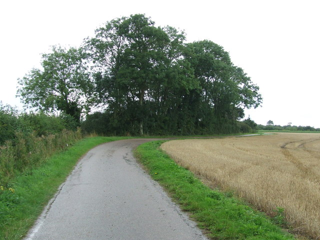
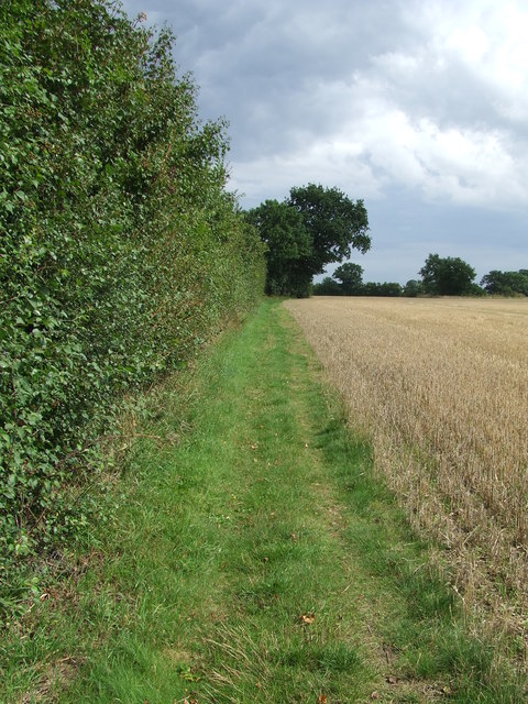
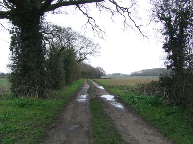
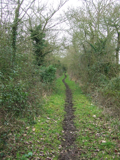
Home Wood is a picturesque forest located in Suffolk, England. It covers an area of approximately 100 acres and is known for its diverse range of flora and fauna. The woodland is predominantly made up of broadleaf trees, including oak, beech, and birch, creating a rich and vibrant ecosystem.

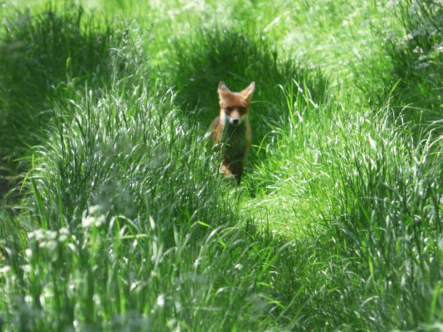
The forest is home to a variety of wildlife, providing a haven for many species. Visitors to Home Wood have the opportunity to spot a wide range of animals, such as deer, foxes, badgers, and a plethora of bird species, including woodpeckers and owls. The tranquil atmosphere and peaceful surroundings make it a popular spot for nature enthusiasts and birdwatchers.

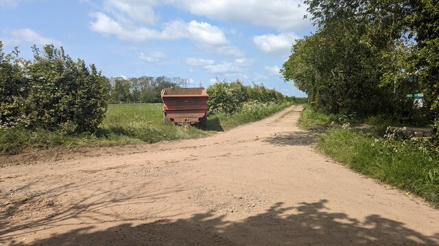
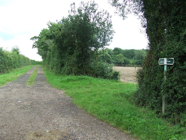
Walking trails and well-maintained paths wind their way through the forest, allowing visitors to explore its natural beauty. The woodland is a fantastic place for hiking, with routes suitable for all abilities. There are also picnic areas where visitors can relax and enjoy the peaceful surroundings.

Home Wood is not only a haven for wildlife but also a valuable resource for the local community. It is often used for educational purposes, with schools and colleges organizing field trips to learn about the forest's ecosystem and conservation efforts. The wood is also managed sustainably, with regular tree planting and maintenance to ensure its long-term preservation.

Overall, Home Wood in Suffolk is a beautiful and diverse forest, offering a tranquil escape for nature lovers and providing a valuable resource for education and conservation.

If you have any feedback on the listing, please let us know in the comments section below.
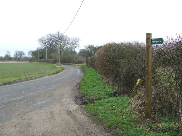
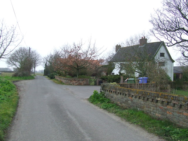
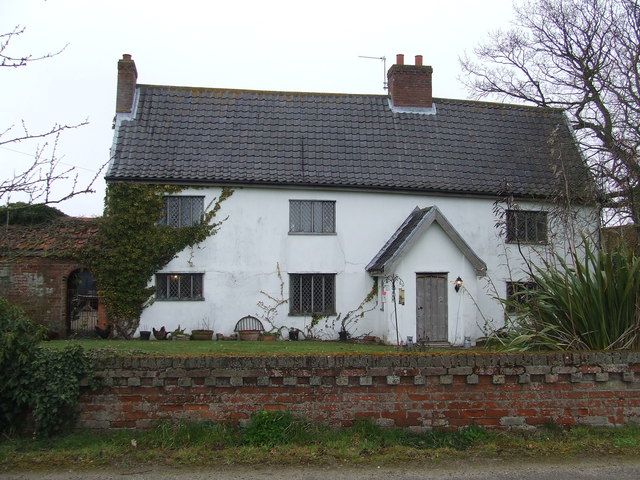
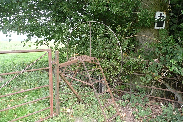
Home Wood Images

Images are sourced within 2km of 52.390006/1.6286146 or Grid Reference TM4683. Thanks to Geograph Open Source API. All images are credited.

Church of All Saints, Frostenden <span class="nowrap"><a title="https://historicengland.org.uk/listing/the-list/list-entry/1032170?section=official-list-entry" rel="nofollow ugc noopener" href="https://historicengland.org.uk/listing/the-list/list-entry/1032170?section=official-list-entry">Link</a><img style="margin-left:2px;" alt="External link" title="External link - shift click to open in new window" src="https://s1.geograph.org.uk/img/external.png" width="10" height="10"/></span>
Church of All Saints, Frostenden
Waiting for Life to Emerge Large field near Frostenden Hall.
Waiting for Life to Emerge
Large field near Frostenden Hall.
Green Lane at the Primrose Lane Junction
Fox at Block's Lane, Stoven
End of the Footpath Gate denotes the end of a rather pointless footpath. From this point the only option is to return back along the way you have just walked.  A sign at the previous junction denoting the fact that it is a dead-end would have been helpful.
End of the Footpath
Gate denotes the end of a rather pointless footpath. From this point the only option is to return back along the way you have just walked. A sign at the previous junction denoting the fact that it is a dead-end would have been helpful.
Church of St. Nicholas, Wrentham <span class="nowrap"><a title="https://historicengland.org.uk/listing/the-list/list-entry/1284532?section=official-list-entry" rel="nofollow ugc noopener" href="https://historicengland.org.uk/listing/the-list/list-entry/1284532?section=official-list-entry">Link</a><img style="margin-left:2px;" alt="External link" title="External link - shift click to open in new window" src="https://s1.geograph.org.uk/img/external.png" width="10" height="10"/></span>
Church of St. Nicholas, Wrentham
Wrentham War Memorial <span class="nowrap"><a title="https://historicengland.org.uk/listing/the-list/list-entry/1458655?section=official-list-entry" rel="nofollow ugc noopener" href="https://historicengland.org.uk/listing/the-list/list-entry/1458655?section=official-list-entry">Link</a><img style="margin-left:2px;" alt="External link" title="External link - shift click to open in new window" src="https://s1.geograph.org.uk/img/external.png" width="10" height="10"/></span>
Wrentham War Memorial
Sotterley Cemetery Memorial Chapel <span class="nowrap"><a title="https://historicengland.org.uk/listing/the-list/list-entry/1391195?section=official-list-entry" rel="nofollow ugc noopener" href="https://historicengland.org.uk/listing/the-list/list-entry/1391195?section=official-list-entry">Link</a><img style="margin-left:2px;" alt="External link" title="External link - shift click to open in new window" src="https://s1.geograph.org.uk/img/external.png" width="10" height="10"/></span>
Sotterley Cemetery Memorial Chapel
Track Footpath and farm track near to Clay Common, Suffolk.
Track
Footpath and farm track near to Clay Common, Suffolk.
Footpath Junction Footpath junction on Green Lane and Primrose lane near to Clay Common, Suffolk.
Footpath Junction
Footpath junction on Green Lane and Primrose lane near to Clay Common, Suffolk.
Footpath Footpath looking east near to Stoven, Suffolk.
Footpath
Footpath looking east near to Stoven, Suffolk.
Primrose Lane Junction off Primrose Lane near to Clay Common, Suffolk.
Primrose Lane
Junction off Primrose Lane near to Clay Common, Suffolk.
All Saints Church, Church Lane, Frostenden Grade I Listed medieval church restored about 1890 according to the listing. A photograph by Henry Munro Cautley FSA ARIBA labelled 'Restored and re-opened 9th April 1936' shows the church with no roof and roof trusses partially replaced. The tower is either Norman or even Saxon and one of Suffolk's oldest round towers. All Saints was built in the 13th century and the main body of the church consists of  nave, chancel, and 15th century south aisle. The nave door and lean-to aisle roof are largely original. The parish registers date from 1538. The Domesday Book of 1086 shows that sea-going ships tied up here, indicating that the now dried-up river bed behind the church was once navigable. There were also two churches here.
All Saints Church, Church Lane, Frostenden
Grade I Listed medieval church restored about 1890 according to the listing. A photograph by Henry Munro Cautley FSA ARIBA labelled 'Restored and re-opened 9th April 1936' shows the church with no roof and roof trusses partially replaced. The tower is either Norman or even Saxon and one of Suffolk's oldest round towers. All Saints was built in the 13th century and the main body of the church consists of nave, chancel, and 15th century south aisle. The nave door and lean-to aisle roof are largely original. The parish registers date from 1538. The Domesday Book of 1086 shows that sea-going ships tied up here, indicating that the now dried-up river bed behind the church was once navigable. There were also two churches here.
Footpath Sign Footpath sign and footpath off Falcon Inn Road near to Cuckold's Green, Suffolk.
Footpath Sign
Footpath sign and footpath off Falcon Inn Road near to Cuckold's Green, Suffolk.
Falcon Inn Road White House Farm on Falcon Inn Road at Cuckold's Green, Suffolk.
Falcon Inn Road
White House Farm on Falcon Inn Road at Cuckold's Green, Suffolk.
White House Farm White House farm house at Cuckold's Green, Suffolk.
White House Farm
White House farm house at Cuckold's Green, Suffolk.
Footpath Footpath looking north near to Cuckold's Green, Suffolk.
Footpath
Footpath looking north near to Cuckold's Green, Suffolk.
Green Footpath Footpath leading to West End Farm near to Cuckold's Green, Suffolk.
Green Footpath
Footpath leading to West End Farm near to Cuckold's Green, Suffolk.
Show me another place!

Home Wood is located at Grid Ref: TM4683 (Lat: 52.390006, Lng: 1.6286146)

Administrative County: Suffolk

District: East Suffolk

Police Authority: Suffolk

What 3 Words

///quote.listed.grapes. Near Kessingland, Suffolk

Related Wikis

Sotterley

Sotterley, originally Southern-lea from its situation south of the river, is a village and civil parish in the East Suffolk district, in the English county...

Wrentham Hall

Wrentham Hall was a large now-demolished Manor House to the north-west of the village of Wrentham, Suffolk, England and which stood on what is now Blackmoor...

Frostenden

Frostenden is a village and civil parish in the East Suffolk district of the English county of Suffolk. It is around 8 miles (13 km) south-west of Lowestoft...

Sotterley Park

Sotterley Park is a 123.2-hectare (304-acre) biological Site of Special Scientific Interest in Sotterley in Suffolk. It is a Nature Conservation Review...

Nearby Amenities

Located within 500m of 52.390006,1.6286146
Note: Section ploughed and cropped.
Lat/Long: 52.3925312/1.6242016
The data included in this document is from www.openstreetmap.org. The data is made available under ODbL.

Have you been to Home Wood?

Leave your review of Home Wood below (or comments, questions and feedback).