West End

Settlement in Hertfordshire Welwyn Hatfield

England

West End

Cucumber Lane, Essendon At the junction of Berkhamsted Lane
Cucumber Lane, Essendon Credit: David Howard

West End is a small village located in Hertfordshire, England. Situated approximately 30 miles northwest of London, it falls within the Three Rivers district. The village is surrounded by beautiful countryside and is known for its tranquil and picturesque setting.

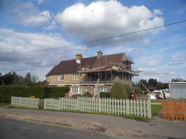
West End is primarily a residential area, with a small population of around 500 residents. The village has a close-knit community and a strong sense of community spirit. The architecture of the village is a mix of old and new, with some historic cottages and modern houses.

Despite its small size, West End offers a range of amenities and facilities to its residents. There is a local primary school, providing education for children in the village and the surrounding areas. The village also has a community center, which hosts various social and recreational activities throughout the year.

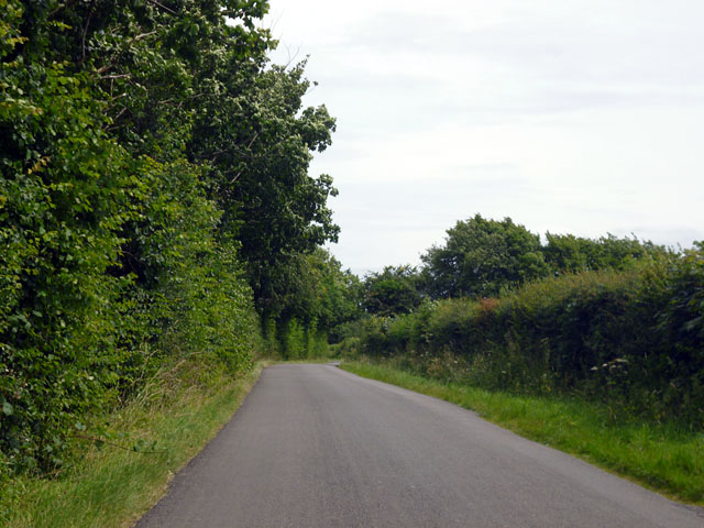
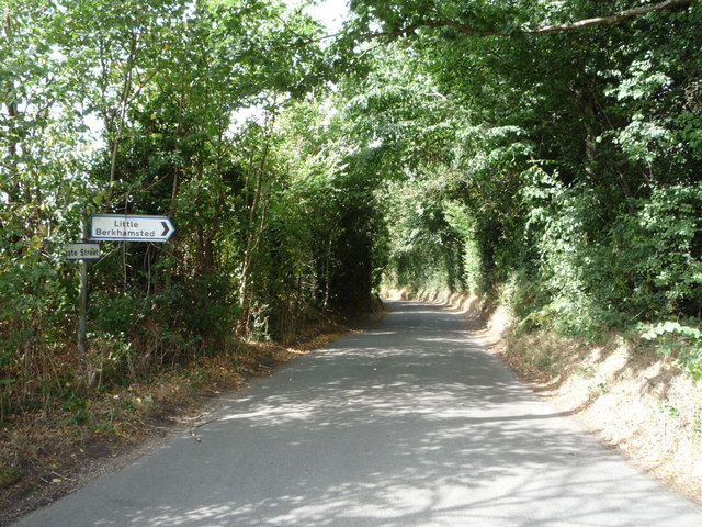
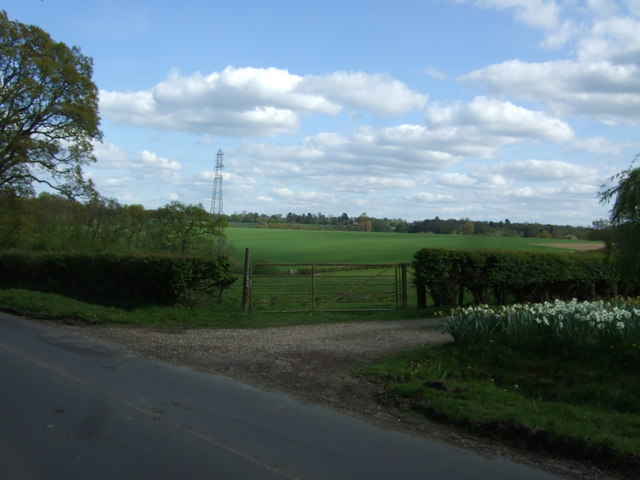
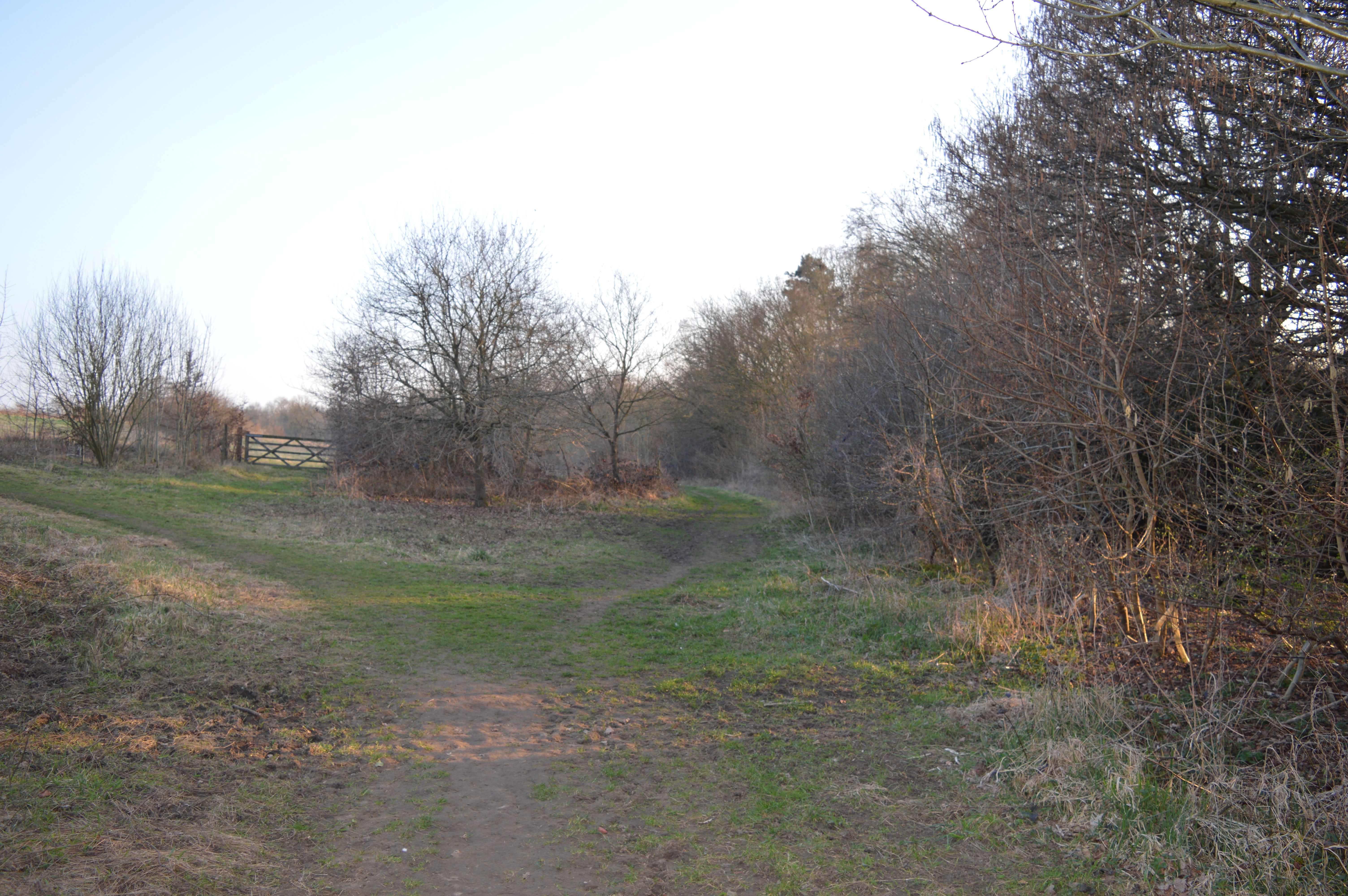
For outdoor enthusiasts, West End offers plenty of opportunities for walks and hikes. The village is surrounded by green spaces and nature reserves, providing a peaceful escape from the hustle and bustle of city life. The nearby River Colne is a popular spot for fishing and boating activities.

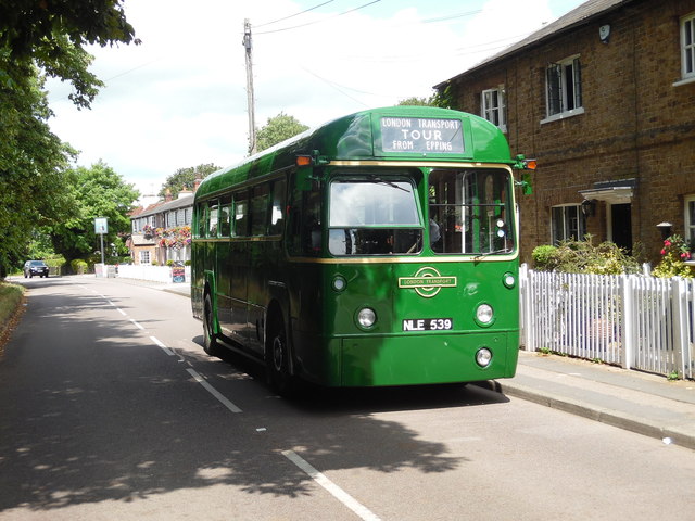
Transport links in West End are convenient, with good road connections to nearby towns and cities. The village is also well-served by public transportation, with regular bus services connecting it to the wider region.

Overall, West End is a charming village that offers a serene and idyllic lifestyle to its residents. Its close proximity to London and its beautiful surroundings make it an attractive place to live.

If you have any feedback on the listing, please let us know in the comments section below.
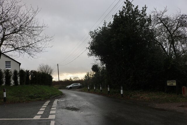
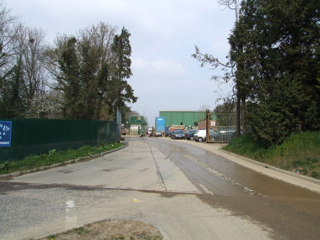
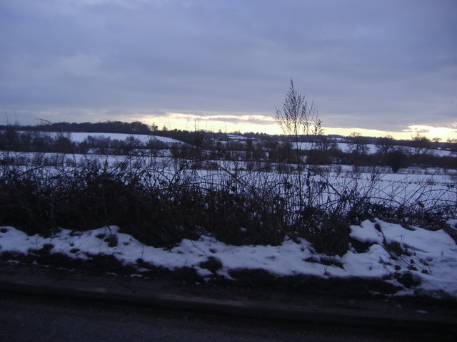
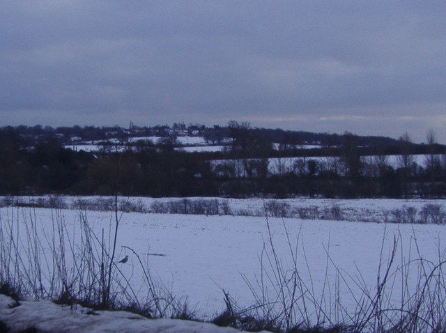
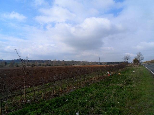
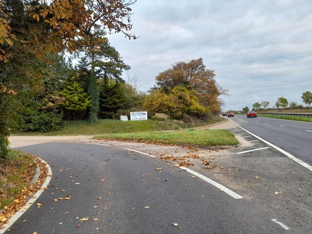
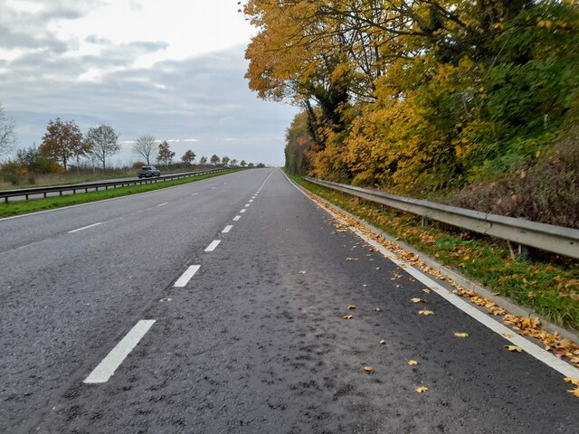
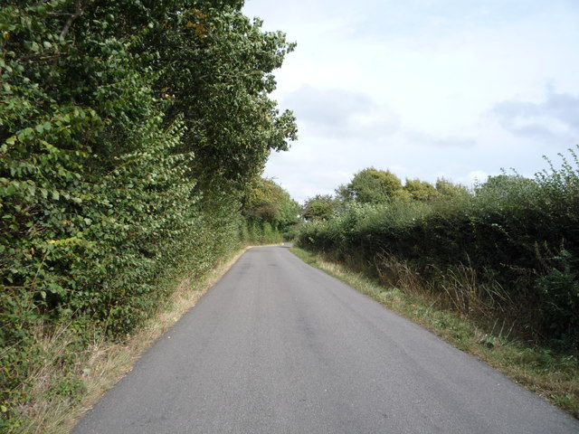
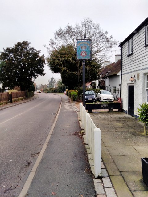
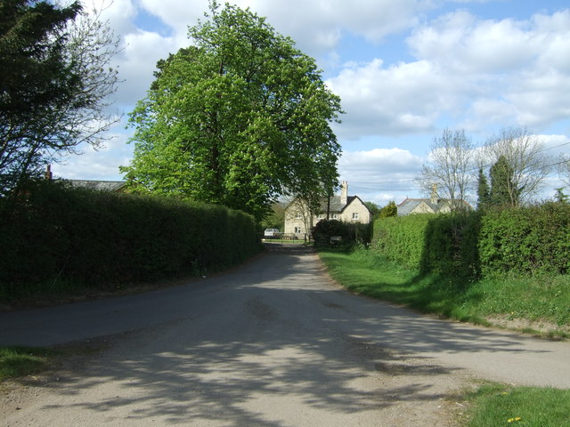
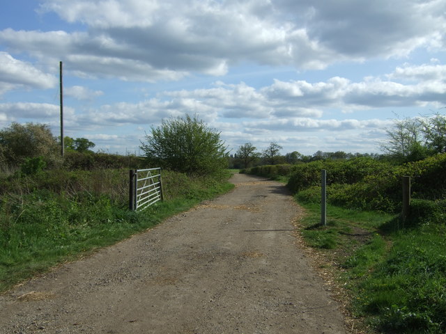
West End Images

Images are sourced within 2km of 51.76007/-0.17200658 or Grid Reference TL2608. Thanks to Geograph Open Source API. All images are credited.

Cucumber Lane, Essendon At the junction of Berkhamsted Lane
Cucumber Lane, Essendon
At the junction of Berkhamsted Lane
Bedwell Park Ltd recycling at Burnside
View from Holwell Lane Hertford
View from Holwell Lane near Hertford
Farmland alongside A414
Estate entrance on Hertford Road
Chestnut tree on Hertford Road
Hertford Road south of Welwyn Garden City
Row of houses on Low Road, Essendon
Preserved Green Bus in Essendon Taken on the B158 High Road, this photo shows a preserved London Transport country bus RF539 (NLE 539) on a short tour from Potters Bar Bus Garage, which was having an Open Day. The vehicle is an AEC Regal IV with Metro-Cammell 39-seater bodywork dating from the early 1950s. Essendon used to be served by routes 350/350A which were operated by London Transport green buses from Hertford bus garage in the 1960s, then by London Country Bus Services in the 1970s. The village is now served by route 341 operated by UNO on weekdays. The Rose & Crown pub can be seen behind the bus.
Preserved Green Bus in Essendon
Taken on the B158 High Road, this photo shows a preserved London Transport country bus RF539 (NLE 539) on a short tour from Potters Bar Bus Garage, which was having an Open Day. The vehicle is an AEC Regal IV with Metro-Cammell 39-seater bodywork dating from the early 1950s. Essendon used to be served by routes 350/350A which were operated by London Transport green buses from Hertford bus garage in the 1960s, then by London Country Bus Services in the 1970s. The village is now served by route 341 operated by UNO on weekdays. The Rose & Crown pub can be seen behind the bus.
Berkhamsted Lane Heading towards Little Berkhamsted, which is so far from the town of Berkhamsted that the names are probably coincidental.
Berkhamsted Lane
Heading towards Little Berkhamsted, which is so far from the town of Berkhamsted that the names are probably coincidental.
Duxford Spitfire at the Battle Proms, Hatfield House, Hertfordshire
Cucumber Lane Junction with Berkhamsted Lane - looking north.
Cucumber Lane
Junction with Berkhamsted Lane - looking north.
Berkhamsted Lane Looking north east.
Berkhamsted Lane
Looking north east.
The Rose and Crown, Essendon
Road to Woodside Off Wildhill Road.
Road to Woodside
Off Wildhill Road.
Farm track (footpath) off Wildhill Road Looking south.
Farm track (footpath) off Wildhill Road
Looking south.
Field entrance, Woodside Green Off Wildhill Road.
Field entrance, Woodside Green
Off Wildhill Road.
Show me another place!

West End is located at Grid Ref: TL2608 (Lat: 51.76007, Lng: -0.17200658)

Administrative County: Hertfordshire

District: Welwyn Hatfield

Police Authority: Hertfordshire

What 3 Words

///anyway.mixer.fine. Near Hatfield, Hertfordshire

Related Wikis

Essendon, Hertfordshire

Essendon is a village and civil parish in Hertfordshire 6 miles (10 km), south-west of Hertford. The village is on the B158 road 330 feet (100 m) above...

Welwyn Hatfield

Welwyn Hatfield is a local government district with borough status in the county of Hertfordshire, England. Its council is based in Welwyn Garden City...

Welwyn Hatfield (UK Parliament constituency)

Welwyn Hatfield is a constituency in Hertfordshire represented in the House of Commons of the UK Parliament since 2005 by Grant Shapps, a Conservative...

The Troopie

The Trooper, also popularly referred as The Troopie, is a Rhodesian statue and war memorial. It is located in the grounds of Hatfield House, home of the...

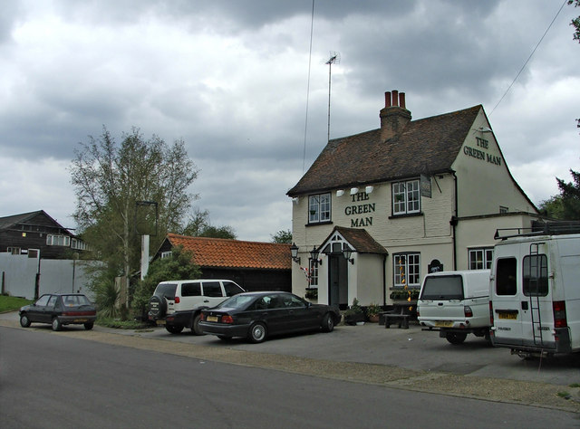
The Green Man, Hatfield

The Green Man is a grade II listed public house in Mill Green Lane, Hatfield, Hertfordshire, England. The building is based on a seventeenth-century timber...

Hatfield House

Hatfield House is a Grade I listed country house set in a large park, the Great Park, on the eastern side of the town of Hatfield, Hertfordshire, England...

The Commons, Welwyn Garden City

The Commons is 13.2 hectare Local Nature Reserve in Welwyn Garden City in Hertfordshire. It is owned and managed by Welwyn Hatfield Borough Council.The...
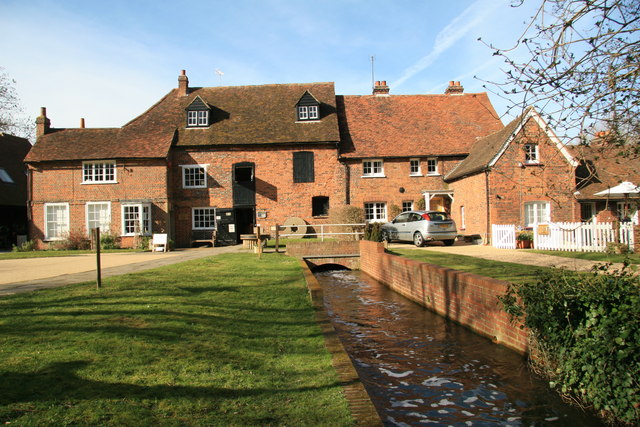
Mill Green Museum

Mill Green Museum is a working watermill in Hatfield, Hertfordshire, England. The building is listed grade II* ("The Old Mill House Museum and Mill Green...

Nearby Amenities

Located within 500m of 51.76007,-0.17200658
Power: tower
Lat/Long: 51.7580402/-0.1782489
Power: tower
Lat/Long: 51.7603313/-0.1784206
Post Box
Collection Times: Mo-Fr 09:00; Sa 08:00; Su off
Description: In brick wall of Upper West End Farm/West End Lane
Post Box Type: wall
Ref: AL9 200
Royal Cypher: VR
Royal Cypher Wikidata: Q33102356
Lat/Long: 51.7605455/-0.1711822
Power: pole
Lat/Long: 51.7638178/-0.1746413
Power: pole
Lat/Long: 51.7633613/-0.1736194
Power: pole
Lat/Long: 51.7629247/-0.1726162
Power: pole
Lat/Long: 51.7626043/-0.1718947
Power: pole
Lat/Long: 51.7615626/-0.1706421
Material: wood
Power: pole
Lat/Long: 51.7609797/-0.1702534
Power: pole
Lat/Long: 51.7622623/-0.1711679
Power: pole
Lat/Long: 51.7627272/-0.1698455
Power: pole
Lat/Long: 51.7631405/-0.1687056
Power: pole
Lat/Long: 51.7634834/-0.1677423
Direction: forward
Traffic Sign: GB:816
Lat/Long: 51.7600031/-0.1720638
Direction: backward
Traffic Sign: GB:816
Lat/Long: 51.7599141/-0.1720707
Destination: Wildhill;Essendon
Information: guidepost
Tourism: information
Lat/Long: 51.7599611/-0.1720754
Bicycle Parking
Bicycle Parking: stands
Covered: no
Lat/Long: 51.7598838/-0.1718731
Hitching Post
Lat/Long: 51.759906/-0.1718782
Barrier: motorcycle_barrier
Lat/Long: 51.7585661/-0.1663202
Barrier: motorcycle_barrier
Lat/Long: 51.7587935/-0.1660762
Material: wood
Power: pole
Lat/Long: 51.7603391/-0.1739326
Material: wood
Power: pole
Lat/Long: 51.7598577/-0.1736958
Material: wood
Power: pole
Lat/Long: 51.7597972/-0.1735246
Material: wood
Power: pole
Lat/Long: 51.75986/-0.1730214
Material: wood
Power: pole
Lat/Long: 51.7598729/-0.1728117
Material: wood
Power: pole
Lat/Long: 51.7598939/-0.1724633
Material: wood
Power: pole
Lat/Long: 51.7599064/-0.1723751
Material: wood
Power: pole
Lat/Long: 51.7599876/-0.1715838
Material: wood
Power: pole
Lat/Long: 51.7597762/-0.1716803
Material: wood
Power: pole
Lat/Long: 51.7600864/-0.1720523
Material: wood
Power: pole
Lat/Long: 51.7601444/-0.1717934
Material: wood
Power: pole
Lat/Long: 51.7610173/-0.1702784
Material: wood
Power: pole
Lat/Long: 51.7612026/-0.1695831
Material: wood
Power: pole
Lat/Long: 51.7613619/-0.1687788
Material: wood
Power: pole
Lat/Long: 51.7613079/-0.1686905
Material: wood
Power: pole
Lat/Long: 51.7610525/-0.1693856
Material: wood
Power: pole
Lat/Long: 51.7608553/-0.1700855
Material: wood
Power: pole
Lat/Long: 51.7606601/-0.1706724
Material: wood
Power: pole
Lat/Long: 51.7604321/-0.1711861
Material: wood
Power: pole
Lat/Long: 51.7604676/-0.171197
Material: wood
Power: pole
Lat/Long: 51.7607918/-0.1706306
Passing Place
Lat/Long: 51.7603633/-0.1715174
The data included in this document is from www.openstreetmap.org. The data is made available under ODbL.

Have you been to West End?

Leave your review of West End below (or comments, questions and feedback).