Edwards Wood

Wood, Forest in Hertfordshire Welwyn Hatfield

England

Edwards Wood

Cucumber Lane, Essendon At the junction of Berkhamsted Lane
Cucumber Lane, Essendon Credit: David Howard

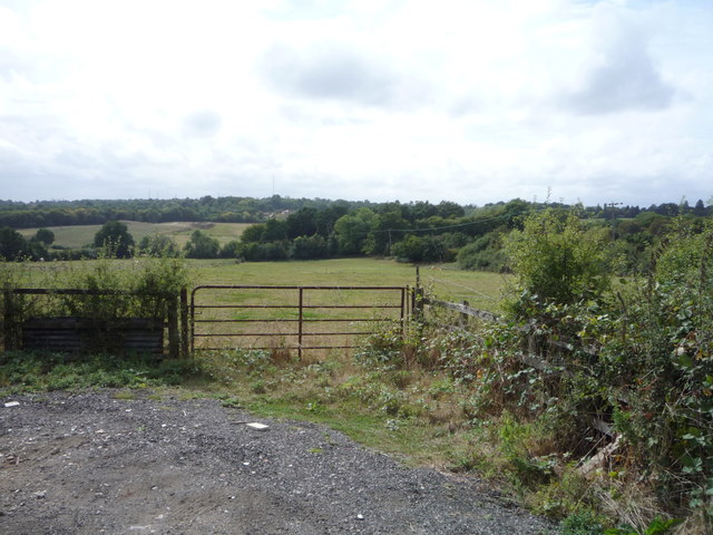
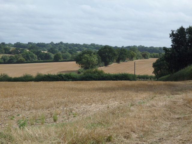
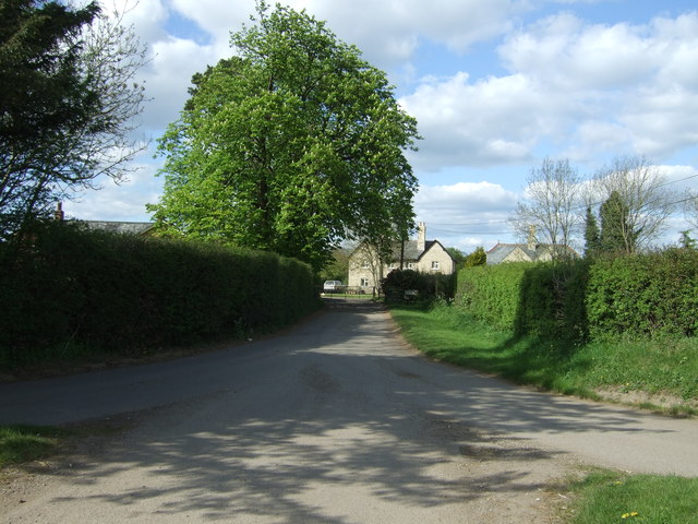
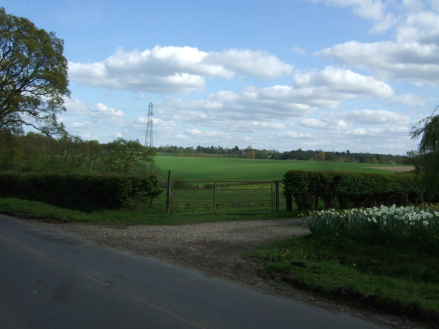
Edwards Wood is a small forested area located in Hertfordshire, England. Covering an area of approximately 100 acres, it is situated just south of the town of Hertford. The wood is characterized by its dense and diverse tree population, primarily consisting of oak, beech, and birch trees.

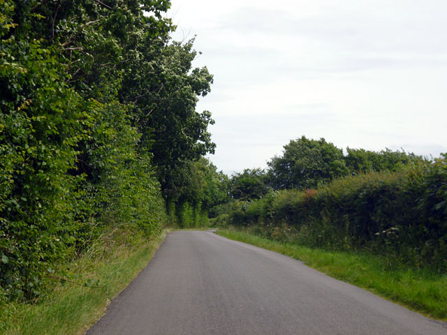
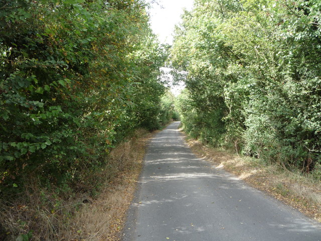
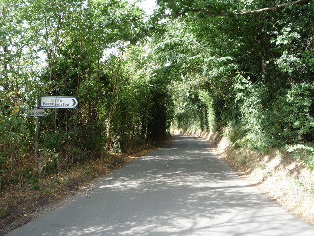
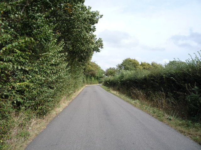
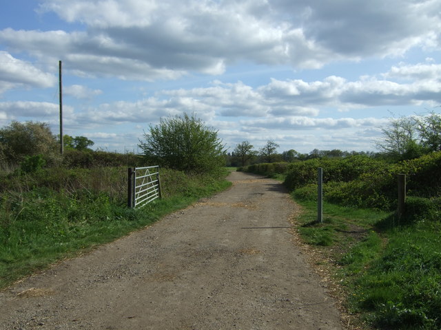
Known for its natural beauty and tranquility, Edwards Wood offers a peaceful retreat for nature enthusiasts and hikers. The forest is crisscrossed by numerous winding footpaths, allowing visitors to explore its lush greenery and discover its hidden treasures. These paths are well-maintained and offer a range of difficulty levels, making it accessible to people of all ages and fitness levels.

Within the wood, there is an abundance of wildlife, including various species of birds, squirrels, rabbits, and even the occasional deer. Birdwatchers are particularly drawn to Edwards Wood, as it is home to several woodland bird species, such as woodpeckers, nightingales, and tits.

The wood also has a rich history, dating back centuries. It was once part of a larger royal hunting ground and has been mentioned in historical records as early as the 13th century. Today, remnants of the past can still be found within the wood, including old stone walls and the remains of a medieval hunting lodge.

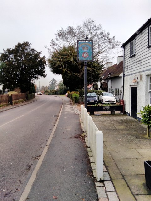
Edwards Wood is easily accessible by car or public transportation, with ample parking available nearby. It is a popular destination for locals and tourists alike, offering a serene and picturesque escape from the hustle and bustle of everyday life.

If you have any feedback on the listing, please let us know in the comments section below.

Edwards Wood Images

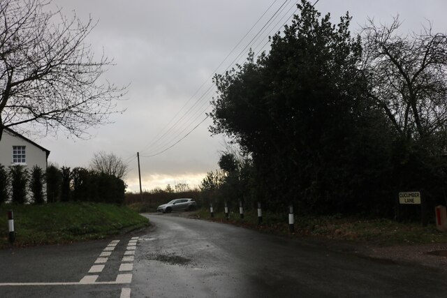
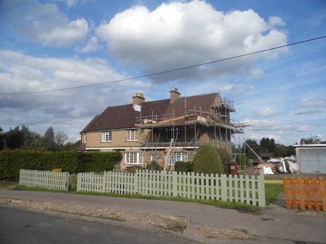
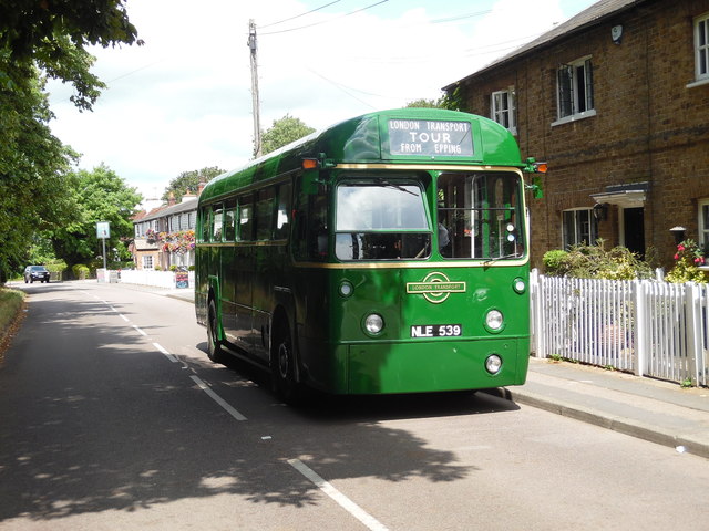
Images are sourced within 2km of 51.757597/-0.16854198 or Grid Reference TL2608. Thanks to Geograph Open Source API. All images are credited.

Cucumber Lane, Essendon At the junction of Berkhamsted Lane
Cucumber Lane, Essendon
At the junction of Berkhamsted Lane
Little Berkhamsted Lane
Row of houses on Low Road, Essendon
Preserved Green Bus in Essendon Taken on the B158 High Road, this photo shows a preserved London Transport country bus RF539 (NLE 539) on a short tour from Potters Bar Bus Garage, which was having an Open Day. The vehicle is an AEC Regal IV with Metro-Cammell 39-seater bodywork dating from the early 1950s. Essendon used to be served by routes 350/350A which were operated by London Transport green buses from Hertford bus garage in the 1960s, then by London Country Bus Services in the 1970s. The village is now served by route 341 operated by UNO on weekdays. The Rose & Crown pub can be seen behind the bus.
Preserved Green Bus in Essendon
Taken on the B158 High Road, this photo shows a preserved London Transport country bus RF539 (NLE 539) on a short tour from Potters Bar Bus Garage, which was having an Open Day. The vehicle is an AEC Regal IV with Metro-Cammell 39-seater bodywork dating from the early 1950s. Essendon used to be served by routes 350/350A which were operated by London Transport green buses from Hertford bus garage in the 1960s, then by London Country Bus Services in the 1970s. The village is now served by route 341 operated by UNO on weekdays. The Rose & Crown pub can be seen behind the bus.
Cucumber Lane Nearing Cucumber Hall Farm, but not much to see yet.
Cucumber Lane
Nearing Cucumber Hall Farm, but not much to see yet.
Berkhamsted Lane Heading towards Little Berkhamsted, which is so far from the town of Berkhamsted that the names are probably coincidental.
Berkhamsted Lane
Heading towards Little Berkhamsted, which is so far from the town of Berkhamsted that the names are probably coincidental.
Field entrance off Cucumber Lane
Cucumber Lane Looking north west.
Cucumber Lane
Looking north west.
Stubble field off Berkhamsted Lane
Cucumber Lane Junction with Berkhamsted Lane - looking north.
Cucumber Lane
Junction with Berkhamsted Lane - looking north.
Berkhamsted Lane Looking north east.
Berkhamsted Lane
Looking north east.
Heading east on Berkhamsted Lane Towards Little Berkhamsted.
Heading east on Berkhamsted Lane
Towards Little Berkhamsted.
The Rose and Crown, Essendon
Road to Woodside Off Wildhill Road.
Road to Woodside
Off Wildhill Road.
Farm track (footpath) off Wildhill Road Looking south.
Farm track (footpath) off Wildhill Road
Looking south.
Field entrance, Woodside Green Off Wildhill Road.
Field entrance, Woodside Green
Off Wildhill Road.
Wildhill Road, Woodside Green Looking east.
Wildhill Road, Woodside Green
Looking east.
Green Street Byway towards Woodside - looking west.
Green Street
Byway towards Woodside - looking west.
Show me another place!

Edwards Wood is located at Grid Ref: TL2608 (Lat: 51.757597, Lng: -0.16854198)

Administrative County: Hertfordshire

District: Welwyn Hatfield

Police Authority: Hertfordshire

What 3 Words

///gain.lock.enjoyable. Near Hatfield, Hertfordshire

Related Wikis

Essendon, Hertfordshire

Essendon is a village and civil parish in Hertfordshire, England, 6 miles (10 km) south-west of Hertford. The village is on the B158 road 330 feet (100...

Welwyn Hatfield

Welwyn Hatfield is a local government district with borough status in the county of Hertfordshire, England. Its council is based in Welwyn Garden City...

Welwyn Hatfield (UK Parliament constituency)

Welwyn Hatfield is a constituency in Hertfordshire represented in the House of Commons of the UK Parliament since 2005 by Grant Shapps, a Conservative...
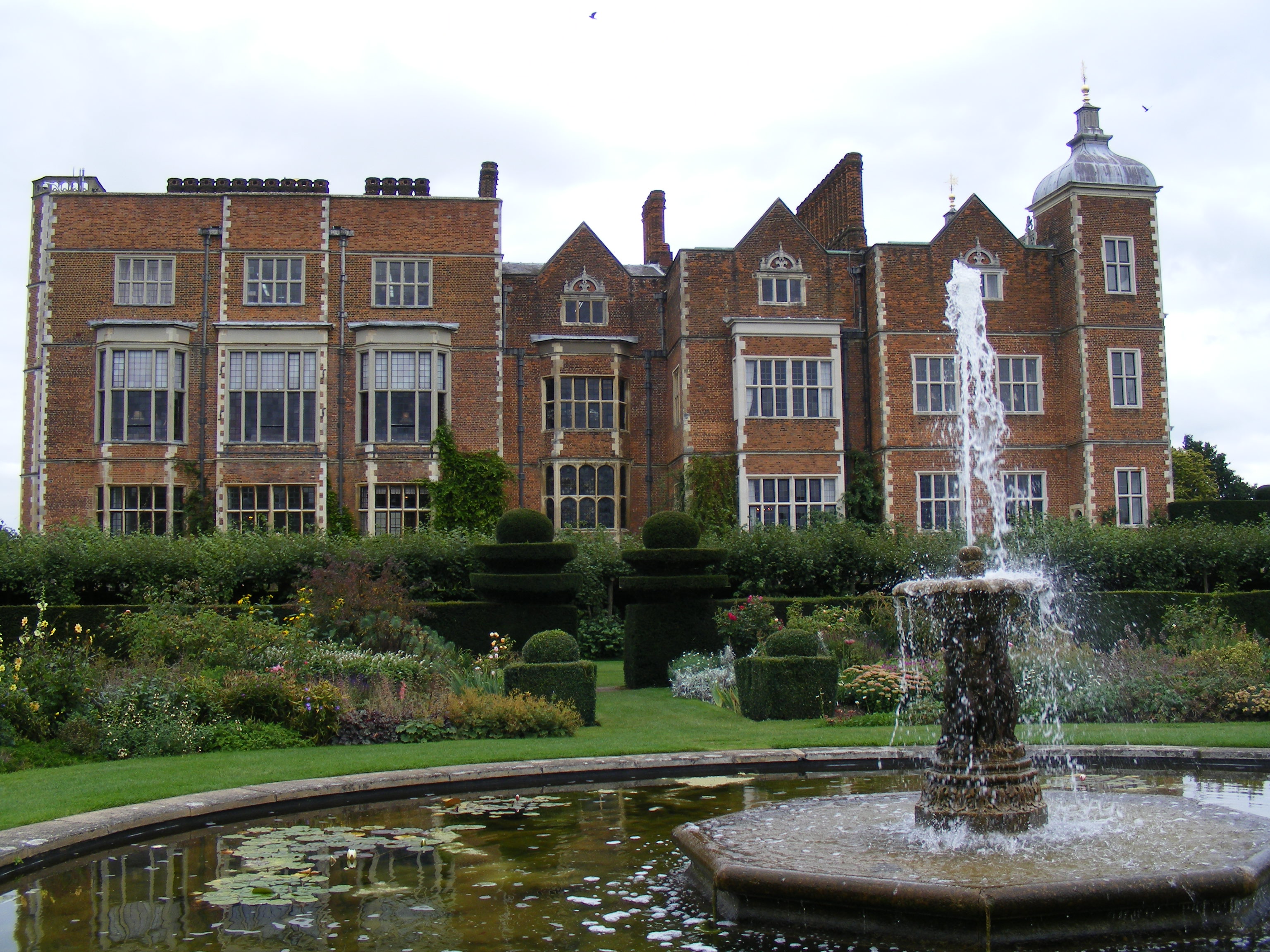
The Troopie

The Trooper, also popularly referred as The Troopie, is a Rhodesian statue and war memorial. It is located in the grounds of Hatfield House, home of the...

Nearby Amenities

Located within 500m of 51.757597,-0.16854198
Created By: YahooApplet 1.0
Lat/Long: 51.7557095/-0.1626857
Created By: YahooApplet 1.0
Lat/Long: 51.7564135/-0.1624497
Created By: YahooApplet 1.0
Lat/Long: 51.7564799/-0.1616343
Created By: YahooApplet 1.0
Lat/Long: 51.756108/-0.1617416
Created By: YahooApplet 1.0
Lat/Long: 51.7533717/-0.1683935
Created By: YahooApplet 1.0
Lat/Long: 51.7539296/-0.1690587
Created By: YahooApplet 1.0
Lat/Long: 51.7541421/-0.1692518
Created By: YahooApplet 1.0
Lat/Long: 51.7543281/-0.1696809
Created By: YahooApplet 1.0
Lat/Long: 51.7538898/-0.1700672
Created By: YahooApplet 1.0
Lat/Long: 51.7535975/-0.1699384
Barrier: kissing_gate
Bicycle: no
Foot: yes
Source: GPS
Lat/Long: 51.7588816/-0.1628341
Post Box
Collection Times: Mo-Fr 09:00; Sa 08:00; Su off
Description: In brick wall of Upper West End Farm/West End Lane
Post Box Type: wall
Ref: AL9 200
Royal Cypher: VR
Royal Cypher Wikidata: Q33102356
Lat/Long: 51.7605455/-0.1711822
Barrier: kissing_gate
Bicycle: no
Foot: yes
Source: GPS
Lat/Long: 51.7542615/-0.1655917
Barrier: kissing_gate
Bicycle: no
Foot: yes
Source: GPS
Lat/Long: 51.7590679/-0.162003
Power: pole
Lat/Long: 51.7615626/-0.1706421
Material: wood
Power: pole
Lat/Long: 51.7609797/-0.1702534
Direction: forward
Traffic Sign: GB:816
Lat/Long: 51.7600031/-0.1720638
Direction: backward
Traffic Sign: GB:816
Lat/Long: 51.7599141/-0.1720707
Destination: Wildhill;Essendon
Information: guidepost
Tourism: information
Lat/Long: 51.7599611/-0.1720754
Bicycle Parking
Bicycle Parking: stands
Covered: no
Lat/Long: 51.7598838/-0.1718731
Hitching Post
Lat/Long: 51.759906/-0.1718782
Barrier: motorcycle_barrier
Lat/Long: 51.7585661/-0.1663202
Barrier: motorcycle_barrier
Lat/Long: 51.7587935/-0.1660762
Material: wood
Power: pole
Lat/Long: 51.7603391/-0.1739326
Material: wood
Power: pole
Lat/Long: 51.7598577/-0.1736958
Material: wood
Power: pole
Lat/Long: 51.7597972/-0.1735246
Material: wood
Power: pole
Lat/Long: 51.75986/-0.1730214
Material: wood
Power: pole
Lat/Long: 51.7598729/-0.1728117
Material: wood
Power: pole
Lat/Long: 51.7598939/-0.1724633
Material: wood
Power: pole
Lat/Long: 51.7599064/-0.1723751
Material: wood
Power: pole
Lat/Long: 51.7599876/-0.1715838
Material: wood
Power: pole
Lat/Long: 51.7597762/-0.1716803
Material: wood
Power: pole
Lat/Long: 51.7600864/-0.1720523
Material: wood
Power: pole
Lat/Long: 51.7601444/-0.1717934
Material: wood
Power: pole
Lat/Long: 51.7610173/-0.1702784
Material: wood
Power: pole
Lat/Long: 51.7612026/-0.1695831
Material: wood
Power: pole
Lat/Long: 51.7613619/-0.1687788
Material: wood
Power: pole
Lat/Long: 51.7613079/-0.1686905
Material: wood
Power: pole
Lat/Long: 51.7610525/-0.1693856
Material: wood
Power: pole
Lat/Long: 51.7608553/-0.1700855
Material: wood
Power: pole
Lat/Long: 51.7606601/-0.1706724
Material: wood
Power: pole
Lat/Long: 51.7604321/-0.1711861
Material: wood
Power: pole
Lat/Long: 51.7604676/-0.171197
Material: wood
Power: pole
Lat/Long: 51.7607918/-0.1706306
Passing Place
Lat/Long: 51.7603633/-0.1715174
The data included in this document is from www.openstreetmap.org. The data is made available under ODbL.

Have you been to Edwards Wood?

Leave your review of Edwards Wood below (or comments, questions and feedback).