West End

Settlement in Yorkshire

England

West End

Mausoleum in the wheat, Halsham Seen from the side of the B1362 North Road, the Constable Mausoleum sits at the end of an avenue of trees set among arable land. 

It was built in 1792 by Sir Edward Constable in accordance with the will of his father, Sir William Constable (d.1791) of Burton Constable, and was restored around 1910. The vaulted corridor round the base of the tower contains memorials to other members of the Constable family. A plaque carries the words “Bones of the Ancestors of the Family of CONSTABLE Collected in The Old Vault of the Family adjoining the Church of Halsham and transferred to the MAUSOLEUM on the 23rd of August 1802.”
Mausoleum in the wheat, Halsham Credit: Paul Harrop

West End is a small village located in the county of Yorkshire, England. Situated in the heart of the Yorkshire Dales National Park, West End is known for its picturesque countryside, rolling hills, and charming stone-built cottages.

The village is home to a tight-knit community of around 300 residents, who take pride in maintaining the village's traditional character and close-knit atmosphere. West End is surrounded by miles of stunning countryside, making it a popular destination for outdoor enthusiasts and nature lovers.

In the village, visitors can find a handful of quaint shops, local pubs, and cafes offering traditional Yorkshire fare. The village also has a primary school, church, and community center, which host various events and activities throughout the year.

West End is well-connected to the surrounding towns and cities, with good transport links and easy access to major roadways. Its idyllic setting and friendly community make West End a peaceful and charming place to visit or call home in the beautiful Yorkshire countryside.

If you have any feedback on the listing, please let us know in the comments section below.
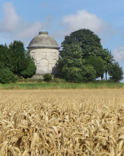
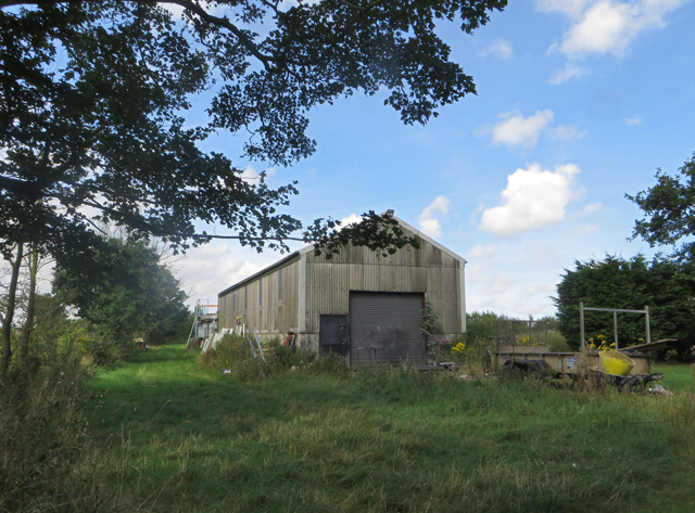
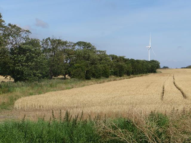
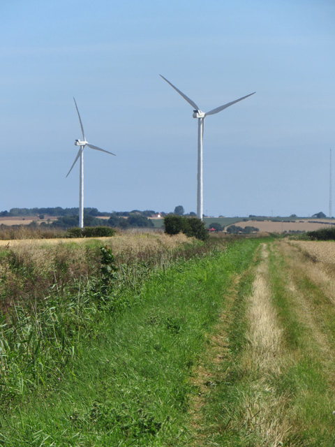
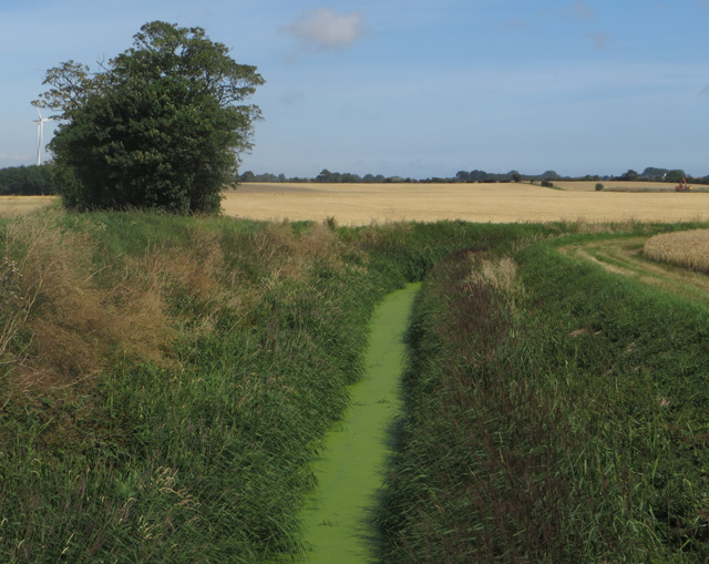
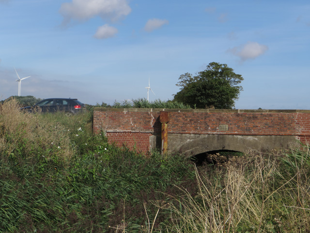
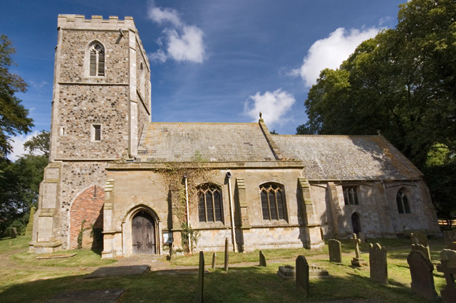
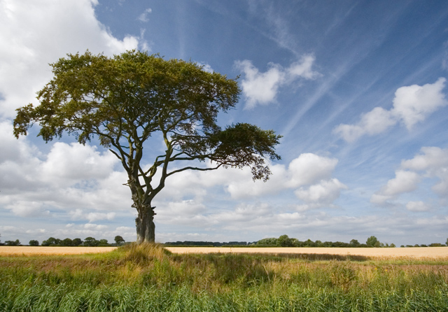
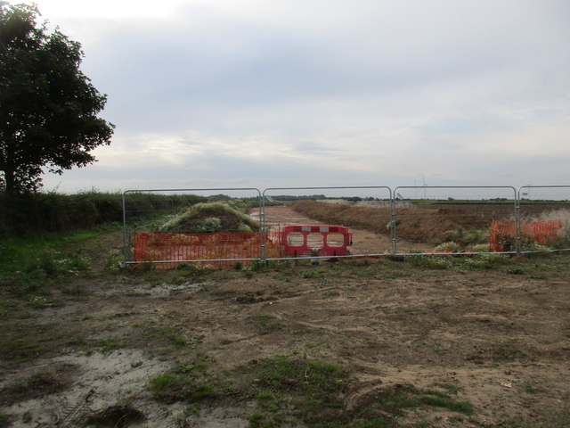
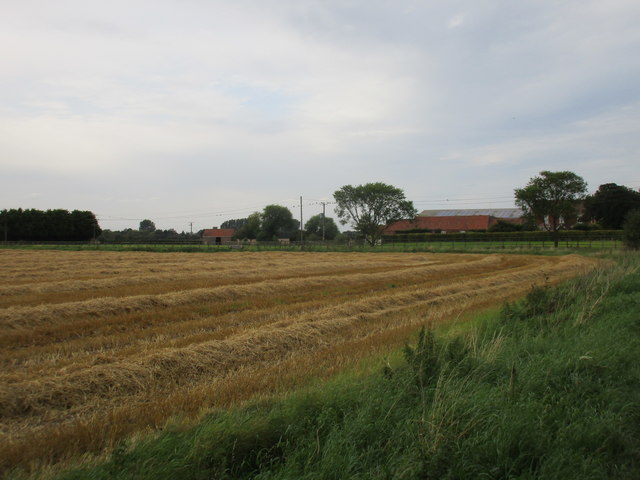
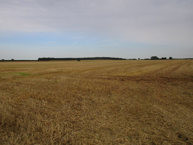
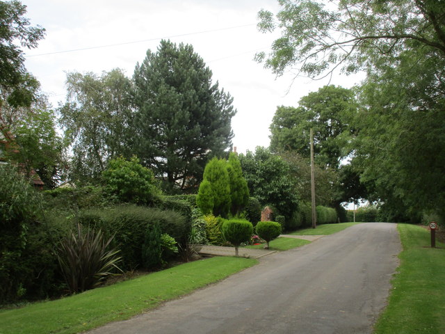
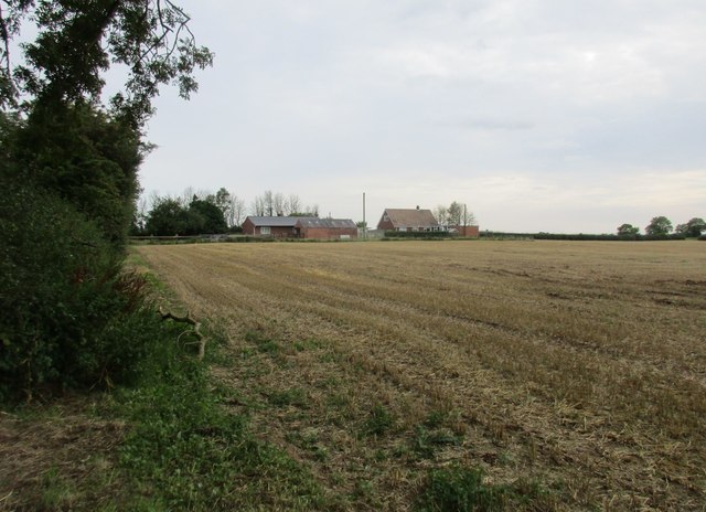
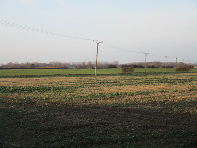
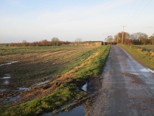
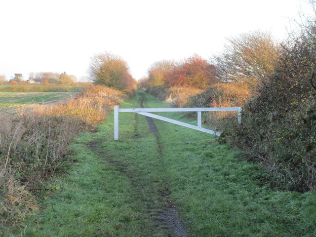
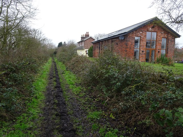
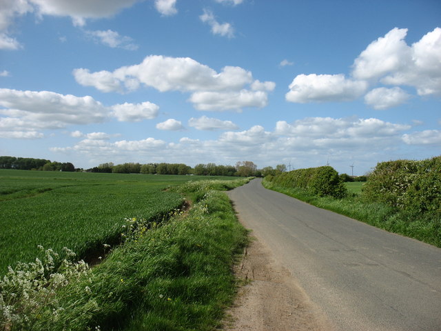
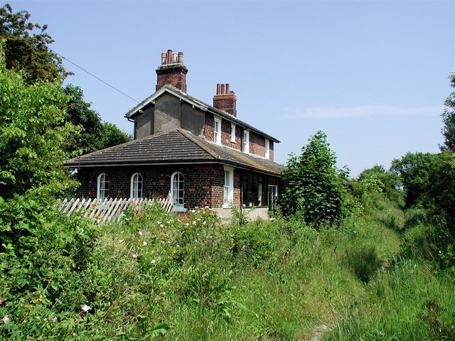
West End Images

Images are sourced within 2km of 53.728103/-0.072506 or Grid Reference TA2727. Thanks to Geograph Open Source API. All images are credited.

Mausoleum in the wheat, Halsham Seen from the side of the B1362 North Road, the Constable Mausoleum sits at the end of an avenue of trees set among arable land. 

It was built in 1792 by Sir Edward Constable in accordance with the will of his father, Sir William Constable (d.1791) of Burton Constable, and was restored around 1910. The vaulted corridor round the base of the tower contains memorials to other members of the Constable family. A plaque carries the words “Bones of the Ancestors of the Family of CONSTABLE Collected in The Old Vault of the Family adjoining the Church of Halsham and transferred to the MAUSOLEUM on the 23rd of August 1802.”
Mausoleum in the wheat, Halsham
Seen from the side of the B1362 North Road, the Constable Mausoleum sits at the end of an avenue of trees set among arable land. It was built in 1792 by Sir Edward Constable in accordance with the will of his father, Sir William Constable (d.1791) of Burton Constable, and was restored around 1910. The vaulted corridor round the base of the tower contains memorials to other members of the Constable family. A plaque carries the words “Bones of the Ancestors of the Family of CONSTABLE Collected in The Old Vault of the Family adjoining the Church of Halsham and transferred to the MAUSOLEUM on the 23rd of August 1802.”
Barn near Ottringham Outbuilding at Carr House Farm, seen from the public footpath which runs through the farmyard
Barn near Ottringham
Outbuilding at Carr House Farm, seen from the public footpath which runs through the farmyard
Black Bank, near Halsham The map has 'Black Bank' along the line of trees seen here. It could be the name of this narrow shelter belt, or maybe a track or embankment out of sight behind it
Black Bank, near Halsham
The map has 'Black Bank' along the line of trees seen here. It could be the name of this narrow shelter belt, or maybe a track or embankment out of sight behind it
Bridleway by Halsham Drain As with most views in this area, the skyline is dominated by the wind farm at Sunderland near Roos.
Bridleway by Halsham Drain
As with most views in this area, the skyline is dominated by the wind farm at Sunderland near Roos.
Halsham Drain Duckweed-covered watercourse, seen from Eastholme Bridge
Halsham Drain
Duckweed-covered watercourse, seen from Eastholme Bridge
Eastholme Bridge, near Halsham The bridge carries the B1362 over Halsham Drain and, as can be seen more clearly here: <a href="https://www.geograph.org.uk/photo/717825">TA2528 : Eastholme Bridge</a> was built by the Keyingham Level Drainage Board in 1846. Compared with that earlier picture, the currently overgrown state of the banks of the drain, and of the drain itself, suggests a waning of the enthusiasm for keeping drainage channels clear after the floods of 2007.
Eastholme Bridge, near Halsham
The bridge carries the B1362 over Halsham Drain and, as can be seen more clearly here: TA2528 : Eastholme Bridge was built by the Keyingham Level Drainage Board in 1846. Compared with that earlier picture, the currently overgrown state of the banks of the drain, and of the drain itself, suggests a waning of the enthusiasm for keeping drainage channels clear after the floods of 2007.
All Saints Church, Halsham A very well hidden church, although there is a small signpost on the road nearby. There is an extensive history of the church and the settlement here: <span class="nowrap"><a title="http://www.crsbi.ac.uk/site/2934/" rel="nofollow ugc noopener" href="http://www.crsbi.ac.uk/site/2934/">Link</a><img style="margin-left:2px;" alt="External link" title="External link - shift click to open in new window" src="https://s1.geograph.org.uk/img/external.png" width="10" height="10"/></span>
All Saints Church, Halsham
A very well hidden church, although there is a small signpost on the road nearby. There is an extensive history of the church and the settlement here: LinkExternal link
Tree by Halsham Drain Seen from the public bridleway on the opposite side of the drain
Tree by Halsham Drain
Seen from the public bridleway on the opposite side of the drain
Construction site for new water main at Halsham Grange
Harvested field near Elm Tree Farm, Halsham
Stubble field near Halsham High Wood in the distance.
Stubble field near Halsham
High Wood in the distance.
Southside Road, Halsham A touch of suburbia.
Southside Road, Halsham
A touch of suburbia.
Stubble field and bungalows on Southside Road, Halsham
Power lines near Carr House Farm
Fields Close Road Looking towards the farm buildings at Carr House Farm.
Fields Close Road
Looking towards the farm buildings at Carr House Farm.
The rail trail near Carr House Farm The former Hull to Withernsea railway line.
The rail trail near Carr House Farm
The former Hull to Withernsea railway line.
Ottringham railway station (site), Yorkshire Opened in 1854 by the Hull & Holderness railway, later part of the North Eastern Railway, on the line from Hull Victoria Docks (Hull Paragon from 1864) to Withernsea, this station closed to passengers in 1964 and completely in 1965.
View west towards Keyingham and Hull. Both platforms were extant behind the undergrowth when this image was taken, and the former station building had become a private residence.
See <span class="nowrap"><a title="http://www.disused-stations.org.uk/o/ottringham/index.shtml" rel="nofollow ugc noopener" href="http://www.disused-stations.org.uk/o/ottringham/index.shtml">Link</a><img style="margin-left:2px;" alt="External link" title="External link - shift click to open in new window" src="https://s1.geograph.org.uk/img/external.png" width="10" height="10"/></span> for more details.
Ottringham railway station (site), Yorkshire
Opened in 1854 by the Hull & Holderness railway, later part of the North Eastern Railway, on the line from Hull Victoria Docks (Hull Paragon from 1864) to Withernsea, this station closed to passengers in 1964 and completely in 1965. View west towards Keyingham and Hull. Both platforms were extant behind the undergrowth when this image was taken, and the former station building had become a private residence. See LinkExternal link for more details.
North End Road, Halsham
Show me another place!

West End is located at Grid Ref: TA2727 (Lat: 53.728103, Lng: -0.072506)

Division: East Riding

Unitary Authority: East Riding of Yorkshire

Police Authority: Humberside

What 3 Words

///firewall.archive.unimpeded. Near Halsham, East Yorkshire

Nearby Locations

End, West West End

Related Wikis

Halsham

Halsham is a village and civil parish in the East Riding of Yorkshire, England, in an area known as Holderness. It is situated approximately 4 miles...

Ottringham railway station

Ottringham railway station is a disused railway station on the North Eastern Railway's Hull and Holderness Railway to the north of Ottringham, East Riding...

Keyingham railway station

Keyingham railway station is a disused railway station on the North Eastern Railway's Hull and Holderness Railway to the north of Keyingham, East Riding...

Winestead Hall

Winestead Hall was a large country house at Winestead in the East Riding of Yorkshire, England. == History == Sir Robert Hildyard, 2nd Baronet commissioned...

Nearby Amenities

Located within 500m of 53.728103,-0.072506
Power: pole
Lat/Long: 53.7249662/-0.0692077
Power: pole
Lat/Long: 53.7251249/-0.0676896
Power: pole
Lat/Long: 53.7290677/-0.0788355
Power: pole
Lat/Long: 53.7298674/-0.0748873
Power: pole
Lat/Long: 53.7298993/-0.0779077
Power: pole
Lat/Long: 53.7292613/-0.0774944
Power: pole
Lat/Long: 53.7299055/-0.0741363
Power: pole
Lat/Long: 53.7295628/-0.0761962
Telephone
Defibrillator
Booth: K6
Covered: booth
Defibrillator Location: inside old red phone box in Halsham
Emergency: defibrillator
Man Made: telephone_box
Lat/Long: 53.724877/-0.0717606
Post Box
Post Box Type: lamp
Royal Cypher: EIIR
Royal Cypher Wikidata: Q33102113
Lat/Long: 53.7248686/-0.0717968
Halsham
Landuse: residential
Place: village
Lat/Long: 53.7261451/-0.0729033
The data included in this document is from www.openstreetmap.org. The data is made available under ODbL.

Have you been to West End?

Leave your review of West End below (or comments, questions and feedback).