End, West
Settlement in Yorkshire
England
End, West
End, West Yorkshire is a small village located in the county of West Yorkshire, England. Situated on the eastern edge of the Pennines, it is part of the metropolitan borough of Calderdale. The village is nestled in a picturesque valley, surrounded by rolling hills and lush green countryside, offering residents and visitors a peaceful and idyllic setting.
End has a rich history dating back centuries, with evidence of human settlement found in the area from the Neolithic period. This historical significance can be seen in the village's architecture, with several well-preserved buildings dating back to the medieval era. The charming stone cottages and traditional farmhouses give the village a quaint and timeless feel.
Despite its small size, End has a strong sense of community, with a close-knit population that takes pride in its village. The locals are known for their friendliness and welcoming nature, making it an inviting place for newcomers and tourists alike.
There are limited amenities in the village, including a small convenience store, a traditional pub, and a primary school. However, the nearby town of Halifax provides residents with access to a wider range of services and facilities.
For those seeking outdoor activities, End is an excellent base for exploring the surrounding countryside. The area offers numerous hiking trails, including the famous Pennine Way, which attracts outdoor enthusiasts from all over the country.
In summary, End, West Yorkshire is a charming village with a rich history and stunning natural surroundings. Its small size and close community create a warm and welcoming atmosphere for residents and visitors alike.
If you have any feedback on the listing, please let us know in the comments section below.
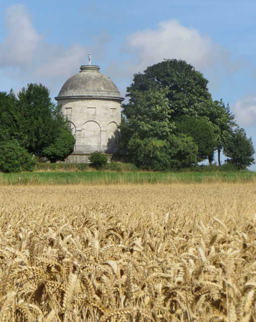
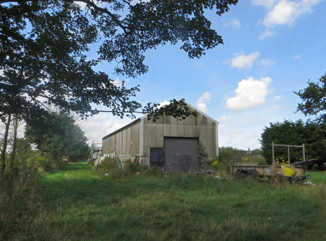
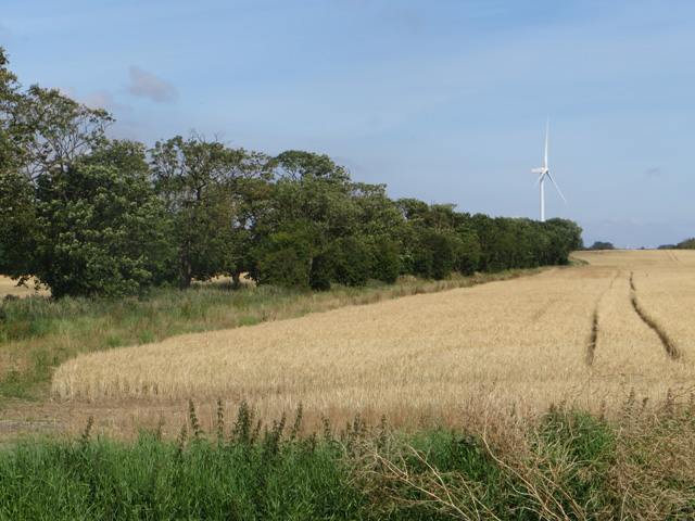
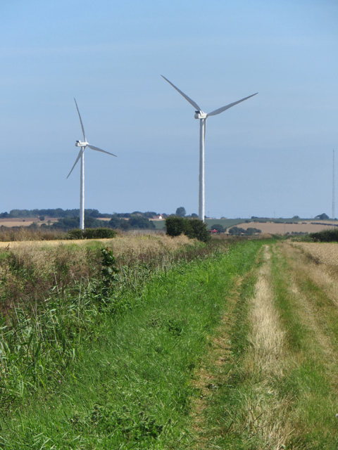
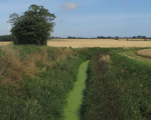
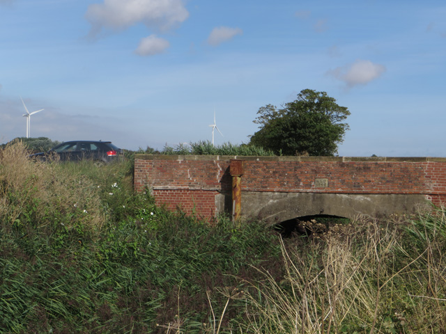
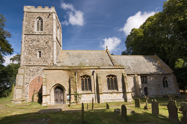
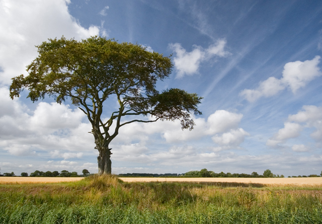
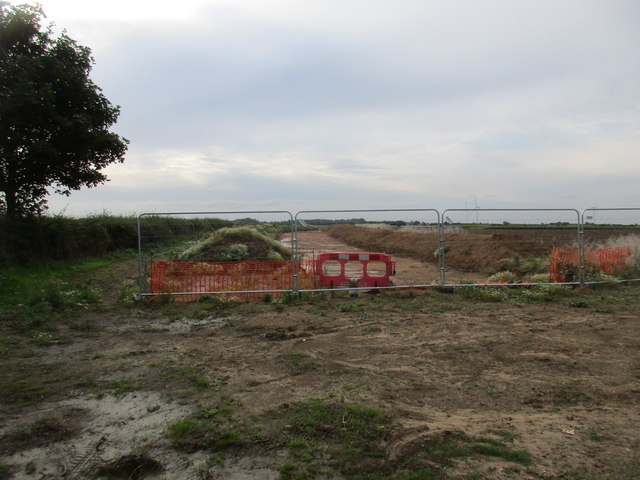
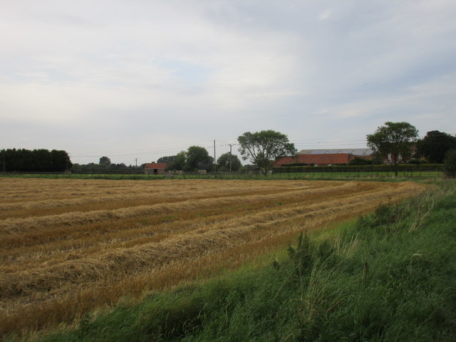
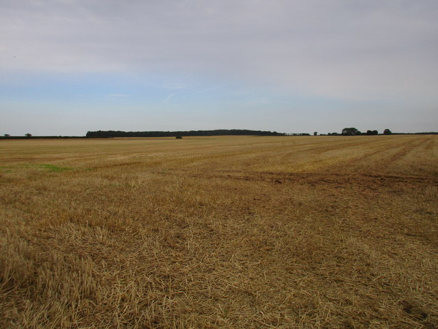
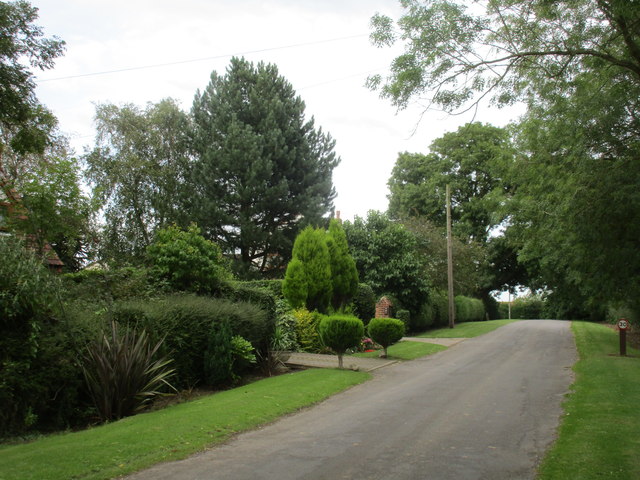
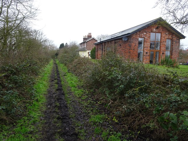
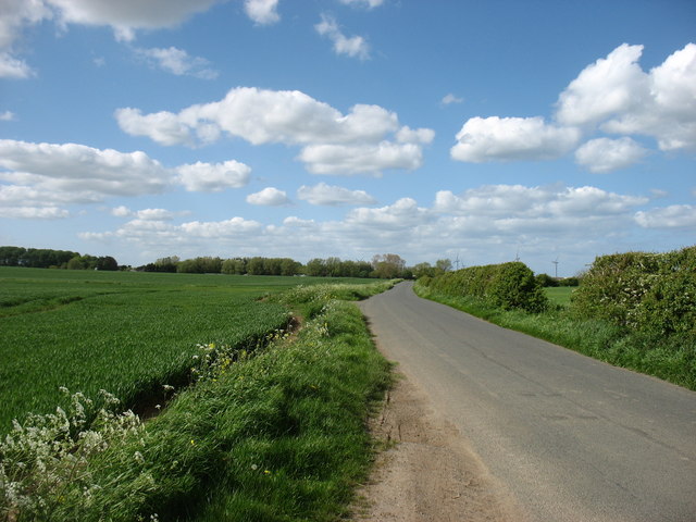
End, West Images
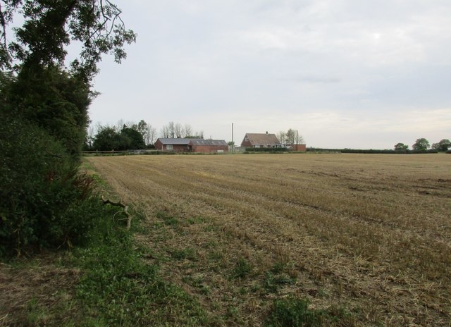
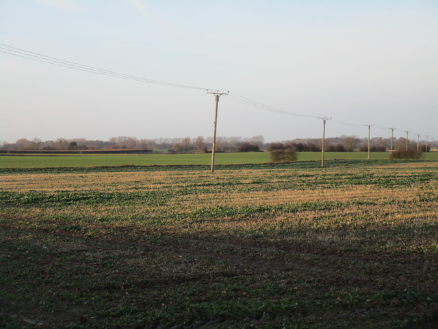
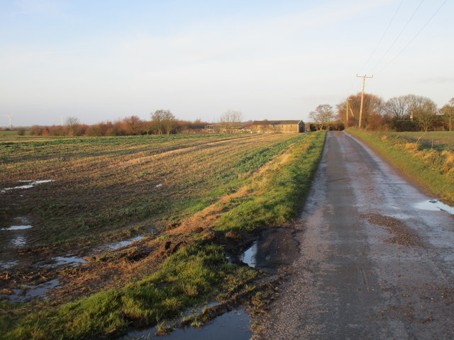
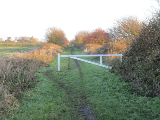
Images are sourced within 2km of 53.728103/-0.072506 or Grid Reference TA2727. Thanks to Geograph Open Source API. All images are credited.
End, West is located at Grid Ref: TA2727 (Lat: 53.728103, Lng: -0.072506)
Division: East Riding
Unitary Authority: East Riding of Yorkshire
Police Authority: Humberside
What 3 Words
///firewall.archive.unimpeded. Near Halsham, East Yorkshire
Related Wikis

Halsham
Halsham is a village and civil parish in the East Riding of Yorkshire, England, in an area known as Holderness. It is situated approximately 4 miles...
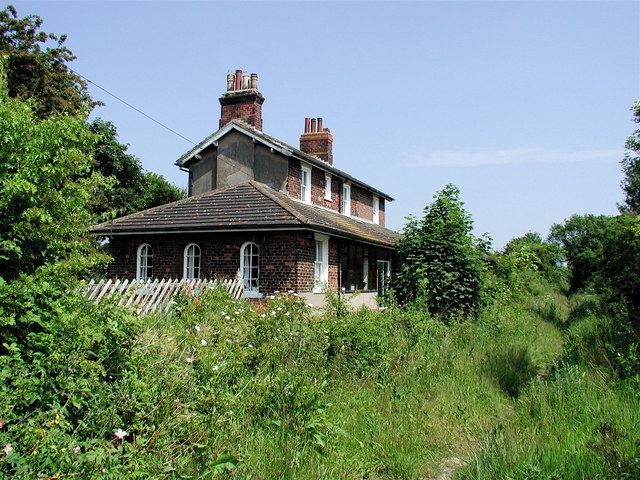
Ottringham railway station
Ottringham railway station is a disused railway station on the North Eastern Railway's Hull and Holderness Railway to the north of Ottringham, East Riding...

Keyingham railway station
Keyingham railway station is a disused railway station on the North Eastern Railway's Hull and Holderness Railway to the north of Keyingham, East Riding...

Winestead Hall
Winestead Hall was a large country house at Winestead in the East Riding of Yorkshire, England. == History == Sir Robert Hildyard, 2nd Baronet commissioned...
Nearby Amenities
Located within 500m of 53.728103,-0.072506Have you been to End, West?
Leave your review of End, West below (or comments, questions and feedback).