End, West

Settlement in Lincolnshire East Lindsey

England

End, West

Sailing on Covenham Reservoir (5) Dinghy is a 12 foot Sea Ranger.
Sailing on Covenham Reservoir (5) Credit: Chris

End is a small village located in the West Lindsey district of Lincolnshire, England. Situated in the western part of the county, it lies approximately 10 miles north of the historic city of Lincoln. With a population of around 500 residents, it maintains a peaceful and close-knit community atmosphere.

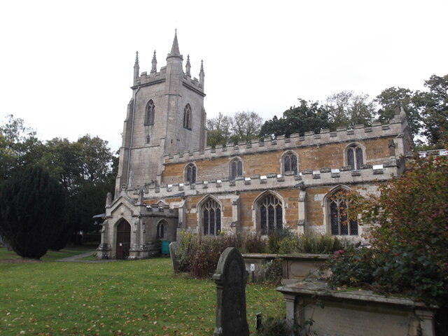
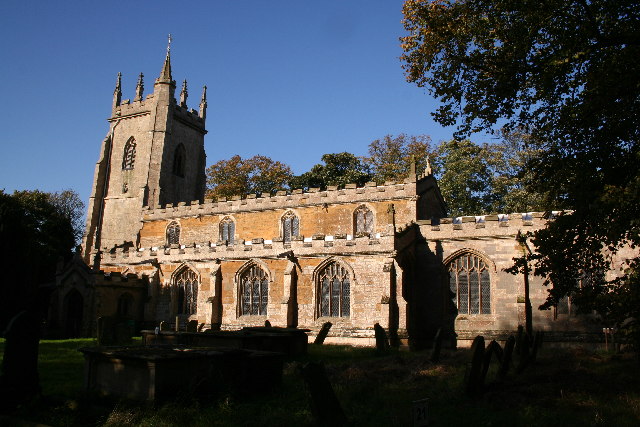
The village dates back to medieval times, and its rich history can be seen in the architecture of its buildings, including the charming St. Bartholomew's Church, which dates back to the 13th century. The surrounding countryside is characterized by rolling hills, open fields, and picturesque landscapes, offering residents and visitors a tranquil environment to enjoy.

Despite its small size, End provides essential amenities to its residents, including a village hall and a local pub, which serves as a popular gathering spot. Additionally, the village benefits from its proximity to nearby towns and cities, such as Lincoln, which offers a wider range of services and amenities.

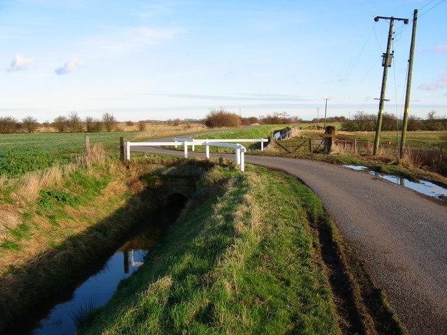
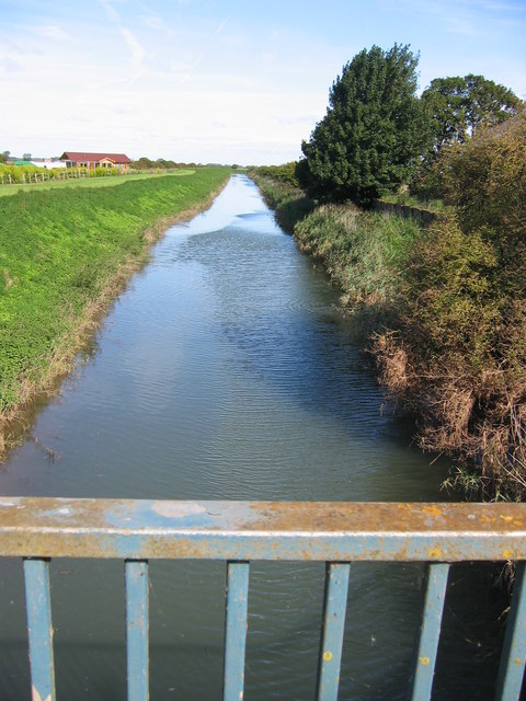
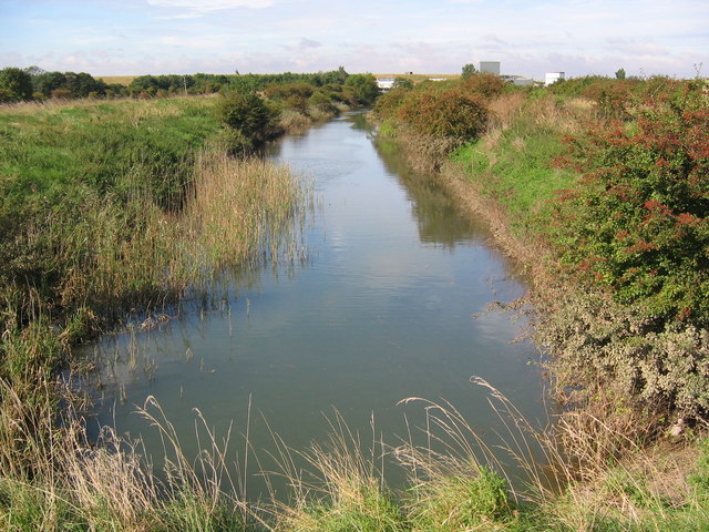
End is surrounded by natural beauty, making it an attractive location for outdoor enthusiasts. The village is close to the Lincolnshire Wolds, an Area of Outstanding Natural Beauty, providing ample opportunities for walking, cycling, and exploring the scenic surroundings. Whether it's a leisurely stroll through the countryside or a more adventurous hike, End offers a variety of outdoor activities for residents and visitors to enjoy.

Overall, End, West, Lincolnshire is a charming village with a rich history, beautiful countryside, and a close-knit community that values its peaceful and idyllic lifestyle.

If you have any feedback on the listing, please let us know in the comments section below.
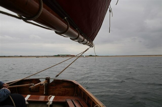
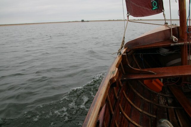
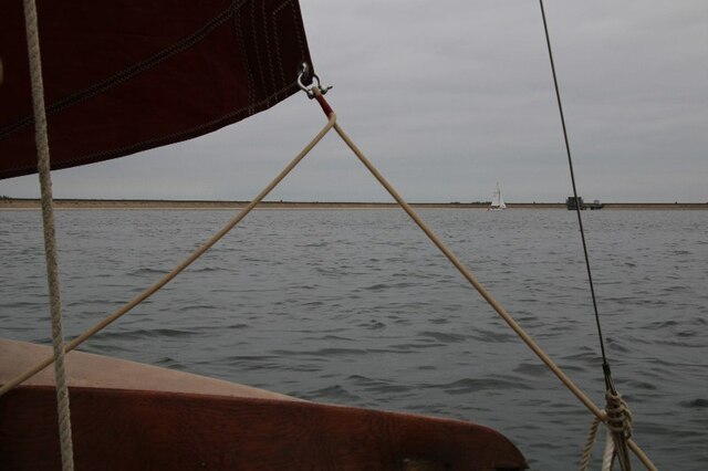
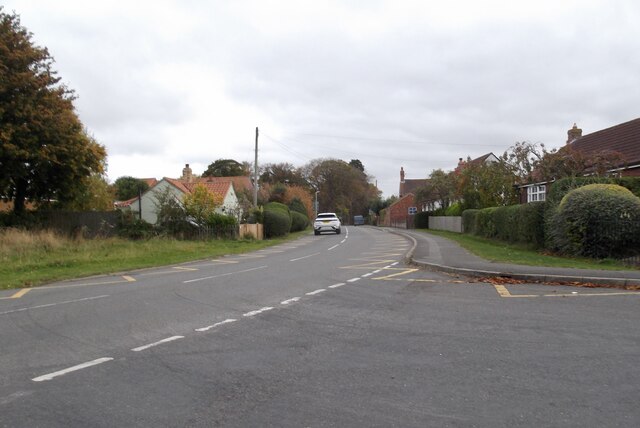
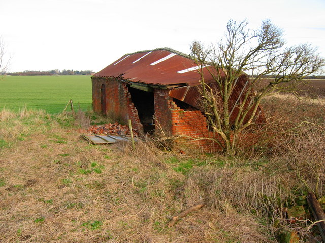
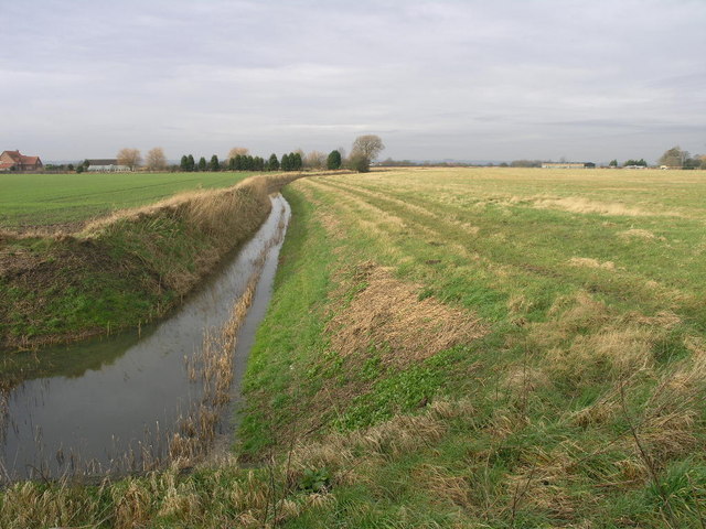
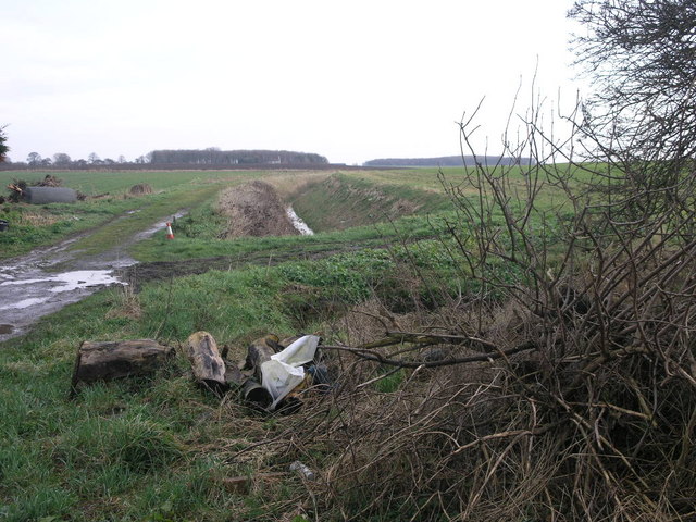
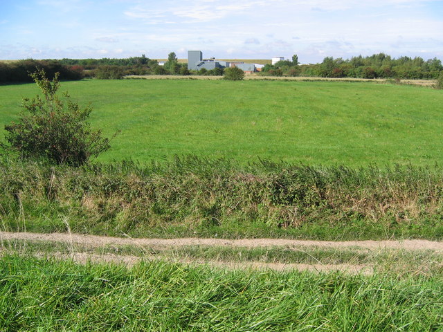
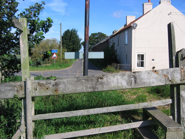
End, West Images

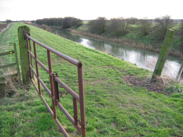
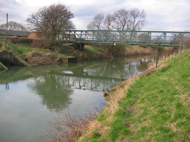
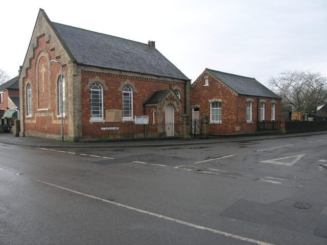
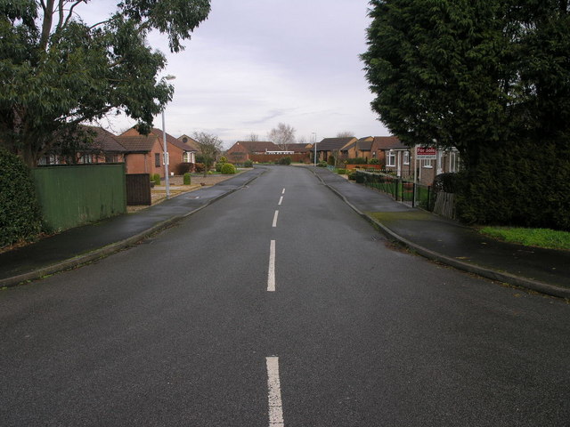
Images are sourced within 2km of 53.463261/0.042856209 or Grid Reference TF3598. Thanks to Geograph Open Source API. All images are credited.

Sailing on Covenham Reservoir (5) Dinghy is a 12 foot Sea Ranger.
Sailing on Covenham Reservoir (5)
Dinghy is a 12 foot Sea Ranger.
Sailing on Covenham Reservoir (3) Dinghy is a Sea Ranger.
Sailing on Covenham Reservoir (3)
Dinghy is a Sea Ranger.
Sailing on Covenham Reservoir (4) Dinghy is a Sea Ranger.
Sailing on Covenham Reservoir (4)
Dinghy is a Sea Ranger.
St Mary's Church, Marshchapel
A1031 in Marshchapel
St.Mary's church, Marshchapel, Lincs. An inscription on the gate proclaims St.Mary's 'the cathedral of the marshes' and it lives up to this promise. Built in one go on the proceeds of medieval salt working in c1420, it has a lofty Perpendicular tower and wide, aisled nave.
St.Mary's church, Marshchapel, Lincs.
An inscription on the gate proclaims St.Mary's 'the cathedral of the marshes' and it lives up to this promise. Built in one go on the proceeds of medieval salt working in c1420, it has a lofty Perpendicular tower and wide, aisled nave.
NE of Fulstow A typical view of the narrow roads and deep ditches in this area.
NE of Fulstow
A typical view of the narrow roads and deep ditches in this area.
Dilapidated Farm Building The old farm building is on the east side of the Louth Canal which cuts across the NE corner of the grid square.
Dilapidated Farm Building
The old farm building is on the east side of the Louth Canal which cuts across the NE corner of the grid square.
Louth Canal Looking SE from the canal side path.
Louth Canal
Looking SE from the canal side path.
Louth Canal The canal from this point flows NW through farmland in this grid square.
Louth Canal
The canal from this point flows NW through farmland in this grid square.
Marshchapel Methodist Did this chapel give its name to the village?
Marshchapel Methodist
Did this chapel give its name to the village?
Plumtree Drive No sign of a plum tree at this end of Plumtree Drive in Marshchapel, there is a Eucalyptus however.
Plumtree Drive
No sign of a plum tree at this end of Plumtree Drive in Marshchapel, there is a Eucalyptus however.
Dyke at Eskham One of the many drainage dykes in this area that are temporarily keeping the sea off the fields.
Dyke at Eskham
One of the many drainage dykes in this area that are temporarily keeping the sea off the fields.
Track to Nowhere This track runs from the A1031 to the middle of this field.
Track to Nowhere
This track runs from the A1031 to the middle of this field.
View To Covenham Reservoir Buildings View across the field from Louth Canal to the buildings at Covenham Reservoir.
View To Covenham Reservoir Buildings
View across the field from Louth Canal to the buildings at Covenham Reservoir.
Stile Beside The Louth Canal
Louth Canal
Louth Canal
Covenham Reservoir Outflow
Show me another place!

End, West is located at Grid Ref: TF3598 (Lat: 53.463261, Lng: 0.042856209)

Division: Parts of Lindsey

Administrative County: Lincolnshire

District: East Lindsey

Police Authority: Lincolnshire

What 3 Words

///expensive.undercuts.unleashed. Near Tetney, Lincolnshire

Nearby Locations

West End End, West

Related Wikis

Marshchapel

Marshchapel is a coastal village and civil parish in the East Lindsey district of Lincolnshire, England. It is approximately 11 miles (18 km) south-east...
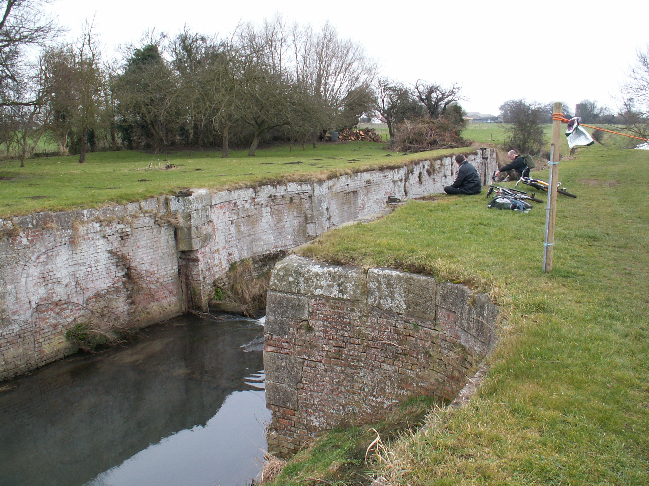
Louth Navigation

The Louth Navigation was a canalisation of the River Lud. It ran for 11 miles (18 km) from Louth in Lincolnshire, England, to Tetney Haven, at the mouth...

North Cotes

North Cotes or North Coates is a village and civil parish in the East Lindsey district of Lincolnshire, England. It is situated close to the coast, 4 miles...

Covenham Reservoir

Covenham Reservoir, located in East Lindsey is a 200-acre reservoir and treatment works constructed between 1963 and 1978 by W. & C. French. The reservoir...

Nearby Amenities

Located within 500m of 53.463261,0.042856209
Power: pole
Lat/Long: 53.4593165/0.0443053
Power: pole
Lat/Long: 53.4601787/0.0424402
Power: pole
Lat/Long: 53.4610188/0.0406689
Power: pole
Lat/Long: 53.4618351/0.038805
Power: pole
Lat/Long: 53.4627848/0.0368341
Duckthorpe Grange
Place: farm
Source: Bing
Lat/Long: 53.4637165/0.0411721
West End Farm
Place: farm
Source: Bing
Lat/Long: 53.4646284/0.0408935
West End
Place: hamlet
Source: Bing
Lat/Long: 53.464504/0.0426342
The data included in this document is from www.openstreetmap.org. The data is made available under ODbL.

Have you been to End, West?

Leave your review of End, West below (or comments, questions and feedback).