West Edge

Settlement in Derbyshire North East Derbyshire

England

West Edge

Vernon Lane Bench Mark Found on the path along Vernon Lane
Vernon Lane Bench Mark Credit: Andrew Hardwick

West Edge is a small village located in the county of Derbyshire, England. Situated on the western edge of the Peak District National Park, it is surrounded by stunning natural landscapes and offers residents and visitors a tranquil and picturesque setting.

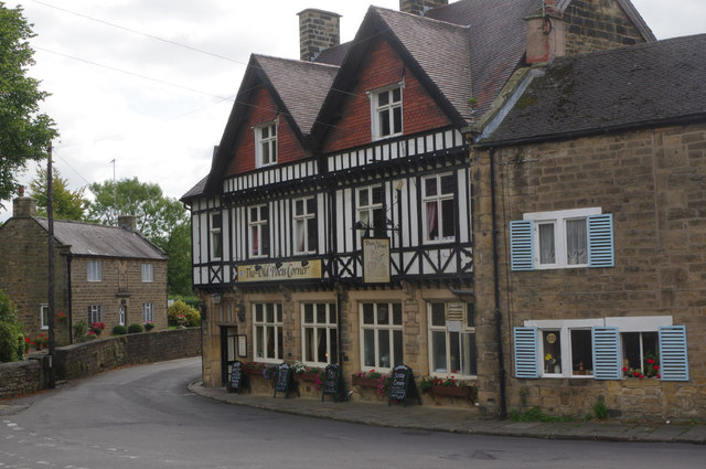
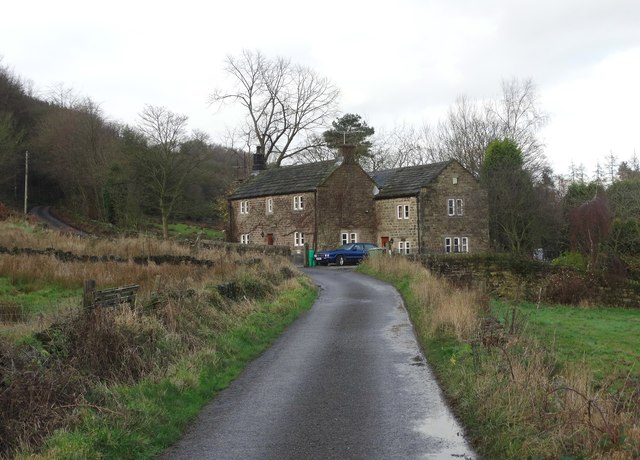
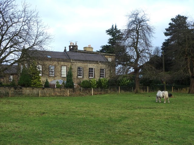
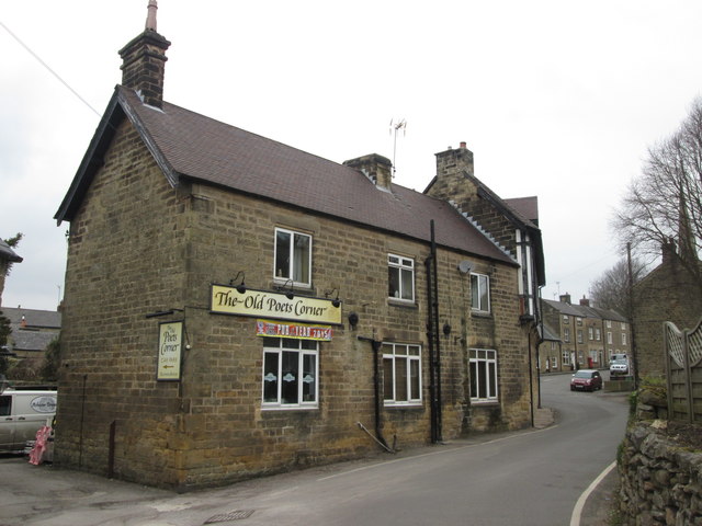
The village is known for its charming and traditional architecture, with many stone-built cottages and farmhouses dotting the landscape. It exudes a peaceful and idyllic atmosphere, making it a popular destination for those seeking a break from the hustle and bustle of city life.

Despite its small size, West Edge boasts a close-knit community that takes pride in preserving the village's heritage and maintaining a strong sense of community spirit. The locals are friendly and welcoming, making it easy for newcomers to feel at home.

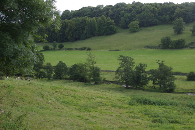
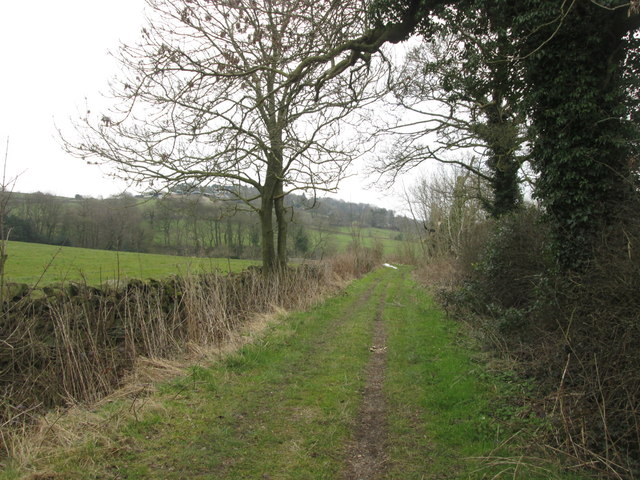
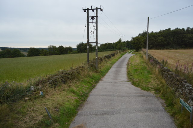
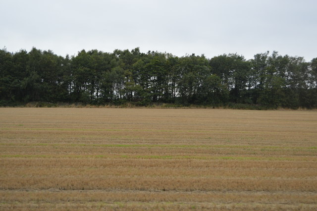
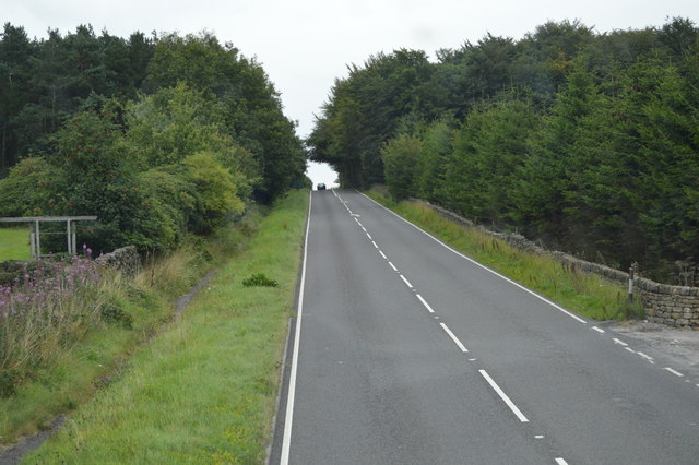
Nature enthusiasts will find West Edge to be a haven, as it offers easy access to the breathtaking beauty of the Peak District. The village is a gateway to numerous walking and hiking trails, allowing visitors to explore the rolling hills, picturesque valleys, and rugged moorlands that characterize the area.

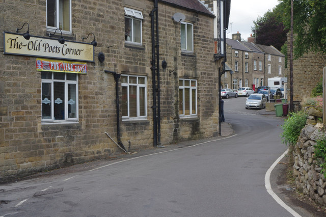
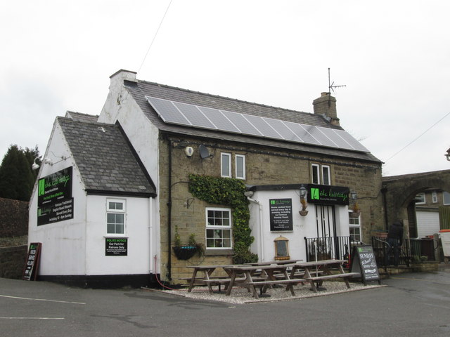
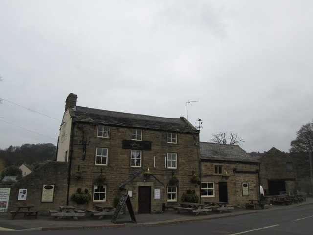
Although West Edge is primarily a residential area, there are a few amenities available within the village. These include a village hall, a small convenience store, and a charming local pub where residents and visitors can enjoy a pint of ale and a hearty meal.

Overall, West Edge is a hidden gem in Derbyshire, offering a peaceful retreat and a chance to reconnect with nature in a truly enchanting setting.

If you have any feedback on the listing, please let us know in the comments section below.
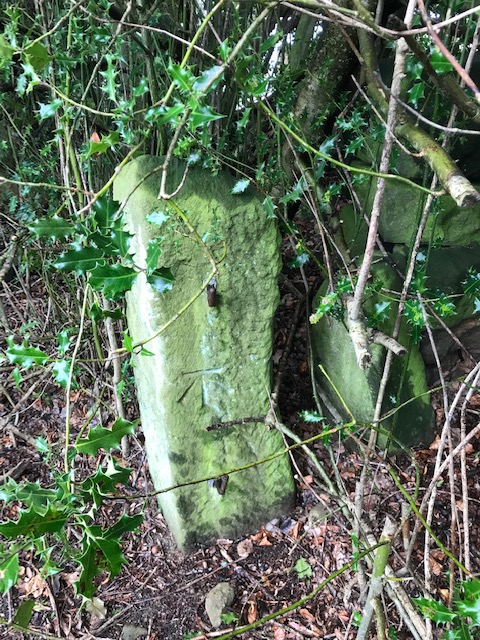
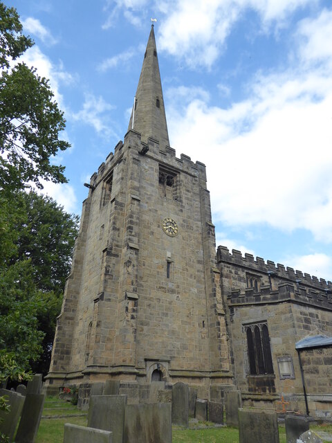
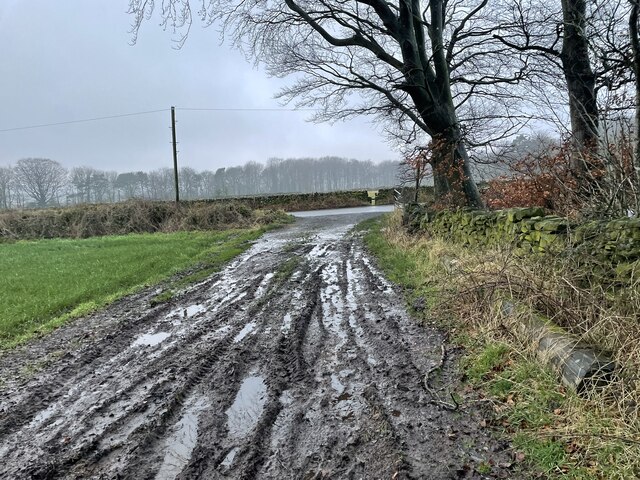
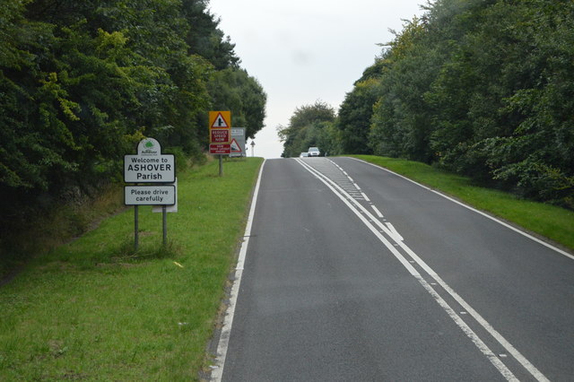
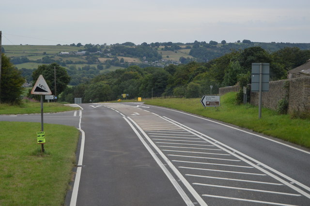
West Edge Images

Images are sourced within 2km of 53.163106/-1.5078789 or Grid Reference SK3363. Thanks to Geograph Open Source API. All images are credited.

Vernon Lane Bench Mark Found on the path along Vernon Lane
Vernon Lane Bench Mark
Found on the path along Vernon Lane
Ashover, All Saints
Ashover, All Saints
Looking across Lant Lane to the woodland of Lant Lodges
The Old Poets Corner, Ashover This pub, which has its own brewery attached, proudly proclaims its award as CAMRA's Derbyshire pub of the year for 2015.
The Old Poets Corner, Ashover
This pub, which has its own brewery attached, proudly proclaims its award as CAMRA's Derbyshire pub of the year for 2015.
River Amber, Ashover The Amber rises in the hills to the north west of Ashover and flows 13 miles across Derbyshire to its confluence with the Derwent. It is seen here in its early stages near Ashover village.
River Amber, Ashover
The Amber rises in the hills to the north west of Ashover and flows 13 miles across Derbyshire to its confluence with the Derwent. It is seen here in its early stages near Ashover village.
The Old Poets Corner, Ashover This imposing pub in Ashover village is famed for the quality of its beer and has been named CAMRA's Derbyshire pub of the year for 2015. There is a brewery on the premises.
The Old Poets Corner, Ashover
This imposing pub in Ashover village is famed for the quality of its beer and has been named CAMRA's Derbyshire pub of the year for 2015. There is a brewery on the premises.
View to an old farm building at Greenend
On Gin Lane near Goss Hall
Overton Hall from Gin Lane
The Kelstedge public house
Byway towards Marsh Green
The Black Swan at Ashover
The Old Poets Corner, Ashover Formerly The Red Lion
The Old Poets Corner, Ashover
Formerly The Red Lion
Cuckoostone Lane
Cuckoostone Lane
Field by Chesterfield Rd
Chesterfield Rd The A632 is a non-primary A-road connecting the Peak District with the Dukeries. It runs 22 miles from Matlock to Cuckney, via Chesterfield.
<span class="nowrap"><a title="http://www.sabre-roads.org.uk/wiki/index.php?title=A632" rel="nofollow ugc noopener" href="http://www.sabre-roads.org.uk/wiki/index.php?title=A632">Link</a><img style="margin-left:2px;" alt="External link" title="External link - shift click to open in new window" src="https://s1.geograph.org.uk/img/external.png" width="10" height="10"/></span>
Chesterfield Rd
The A632 is a non-primary A-road connecting the Peak District with the Dukeries. It runs 22 miles from Matlock to Cuckney, via Chesterfield. LinkExternal link
Welcome to Ashover The A632 is a non-primary A-road connecting the Peak District with the Dukeries. It runs 22 miles from Matlock to Cuckney, via Chesterfield.
<span class="nowrap"><a title="http://www.sabre-roads.org.uk/wiki/index.php?title=A632" rel="nofollow ugc noopener" href="http://www.sabre-roads.org.uk/wiki/index.php?title=A632">Link</a><img style="margin-left:2px;" alt="External link" title="External link - shift click to open in new window" src="https://s1.geograph.org.uk/img/external.png" width="10" height="10"/></span>
Welcome to Ashover
The A632 is a non-primary A-road connecting the Peak District with the Dukeries. It runs 22 miles from Matlock to Cuckney, via Chesterfield. LinkExternal link
A632, Amber Hill The A632 is a non-primary A-road connecting the Peak District with the Dukeries. It runs 22 miles from Matlock to Cuckney, via Chesterfield.
<span class="nowrap"><a title="http://www.sabre-roads.org.uk/wiki/index.php?title=A632" rel="nofollow ugc noopener" href="http://www.sabre-roads.org.uk/wiki/index.php?title=A632">Link</a><img style="margin-left:2px;" alt="External link" title="External link - shift click to open in new window" src="https://s1.geograph.org.uk/img/external.png" width="10" height="10"/></span>
A632, Amber Hill
The A632 is a non-primary A-road connecting the Peak District with the Dukeries. It runs 22 miles from Matlock to Cuckney, via Chesterfield. LinkExternal link
Show me another place!

West Edge is located at Grid Ref: SK3363 (Lat: 53.163106, Lng: -1.5078789)

Administrative County: Derbyshire

District: North East Derbyshire

Police Authority: Derbyshire

What 3 Words

///gossip.levels.venue. Near Tansley, Derbyshire

Related Wikis

Ashover Butts railway station

Ashover Butts railway station was a railway station serving the village of Ashover in Derbyshire, England. It was the terminus of the 1 ft 11+1⁄2 in (597...

Salter Lane railway station

Salter Lane railway station co-served the village of Ashover, Derbyshire, England, from 1925 to 1936 on the Ashover Light Railway. == History == The station...

All Saints' Church, Ashover

All Saints’ Church, Ashover is a Grade I listed parish church in the Church of England in Ashover, Derbyshire. == History == The porch of the church dates...

Rattle, Derbyshire

Rattle is a hamlet in the English county of Derbyshire. It is part of the village of Ashover. This portion of the village, also known as The Rattle,...

Nearby Amenities

Located within 500m of 53.163106,-1.5078789
Bus Stop
Slack Lane
Bus: yes
Public Transport: platform
Lat/Long: 53.1624944/-1.504483
Bench
Lat/Long: 53.162621/-1.5039742
Ele: 302
Lat/Long: 53.1634069/-1.5153023
Parking
Description: Patch of gravel at side of road
Ele: 282.2706299
Lat/Long: 53.1600981/-1.5100141
Post Box
Brand: Royal Mail
Brand Wikidata: Q638098
Brand Wikipedia: en:Royal Mail
Operator: Royal Mail
Operator Wikidata: Q638098
Lat/Long: 53.1627816/-1.5046324
Ele: 281
Lat/Long: 53.1598485/-1.5084551
Ele: 282
Lat/Long: 53.1598429/-1.5087056
Barrier: stile
Stile: squeezer
Lat/Long: 53.163048/-1.5015021
Bench
Lat/Long: 53.1605564/-1.5076001
Barrier: cattle_grid
Lat/Long: 53.1623775/-1.5099483
Bus Stop
Slack Lane
Bus: yes
Public Transport: platform
Lat/Long: 53.1619676/-1.505163
Bus Stop
Lant Lane
Bus: yes
Naptan AtcoCode: 1000DAHC3034
Naptan NaptanCode: dbsgmtpm
Public Transport: platform
Lat/Long: 53.1593641/-1.5099884
Give Way
Source: survey
Lat/Long: 53.1599052/-1.5093329
Slack Lane
Bus: yes
Public Transport: stop_position
Lat/Long: 53.1619987/-1.5052067
Slack Lane
Bus: yes
Public Transport: stop_position
Lat/Long: 53.1624495/-1.5044151
Lant Lane
Bus: yes
Public Transport: stop_position
Lat/Long: 53.1594039/-1.5100474
The data included in this document is from www.openstreetmap.org. The data is made available under ODbL.

Have you been to West Edge?

Leave your review of West Edge below (or comments, questions and feedback).