Chinnock, West
Settlement in Somerset South Somerset
England
Chinnock, West
Chinnock is a small village located in the county of Somerset, England. It is situated in the West Somerset district, approximately 5 miles south-west of the town of Yeovil. Chinnock is part of the civil parish of Chinnock, West and Middle Chinnock.
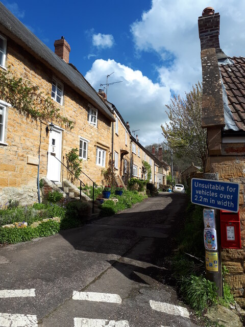
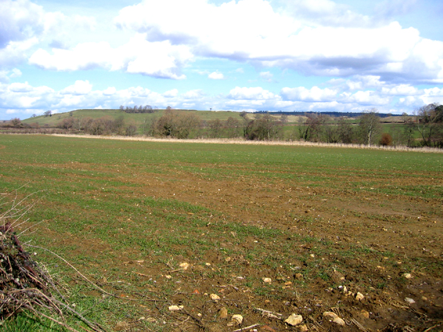
The village of Chinnock is known for its picturesque countryside surroundings, with rolling hills and lush green fields. It is a rural community with a population of around 400 residents. The village is primarily residential, with a mix of traditional stone cottages and newer housing developments.
Chinnock is well-connected to nearby towns and cities, with good road links to Yeovil and other surrounding areas. The A303 road passes close by, providing easy access to the wider road network. The village is also serviced by regular bus routes, ensuring residents have convenient transportation options.
Despite its small size, Chinnock has a strong sense of community and boasts a range of amenities. These include a village hall, a primary school, and a local pub. The village hall serves as a hub for various community activities and events, such as social gatherings, clubs, and workshops.
The surrounding area offers plenty of opportunities for outdoor activities, with several walking and cycling routes nearby. The village is also within easy reach of the stunning Jurassic Coast, a UNESCO World Heritage Site, which offers breathtaking coastal landscapes and a range of recreational activities.
Overall, Chinnock is a peaceful and charming village, offering residents a tranquil rural lifestyle with convenient access to nearby amenities and natural beauty.
If you have any feedback on the listing, please let us know in the comments section below.
Chinnock, West Images
Images are sourced within 2km of 50.918224/-2.7585144 or Grid Reference ST4613. Thanks to Geograph Open Source API. All images are credited.

Chinnock, West is located at Grid Ref: ST4613 (Lat: 50.918224, Lng: -2.7585144)
Administrative County: Somerset
District: South Somerset
Police Authority: Avon and Somerset
What 3 Words
///lobster.masts.items. Near Merriott, Somerset
Nearby Locations
Related Wikis

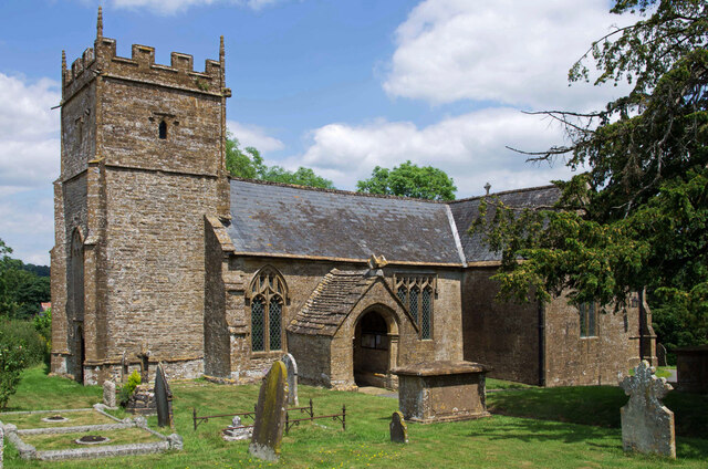
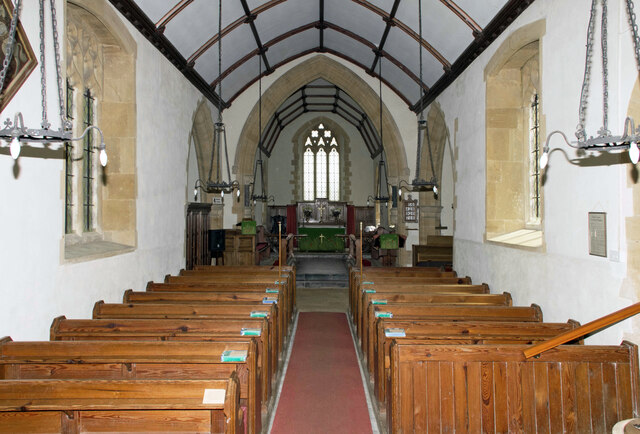
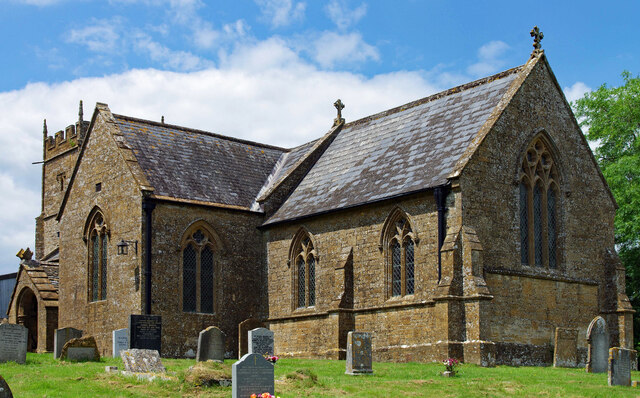
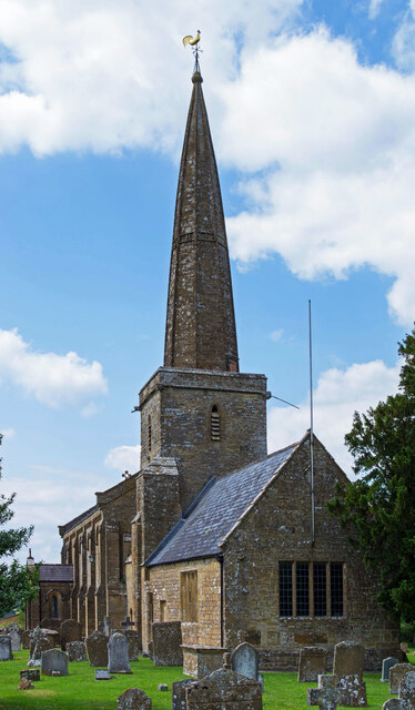
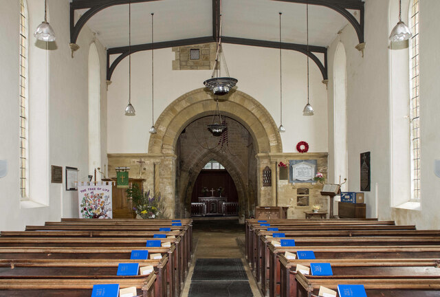
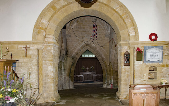
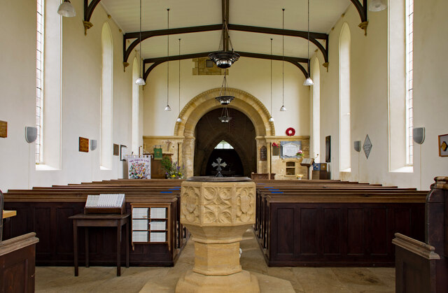
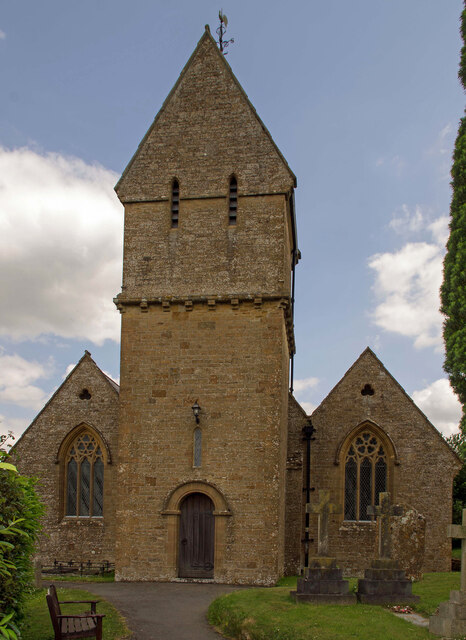
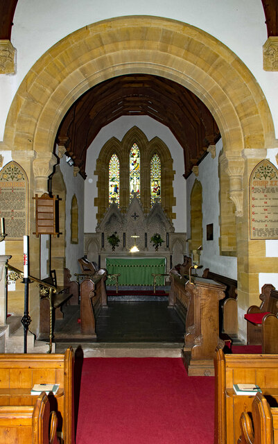
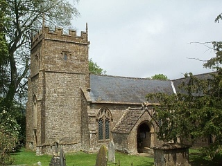
Church of the Blessed Virgin Mary, West Chinnock
The Church of the Blessed Virgin Mary is a Church of England church in West Chinnock, Somerset, England. It has 13th-century origins but was largely rebuilt...

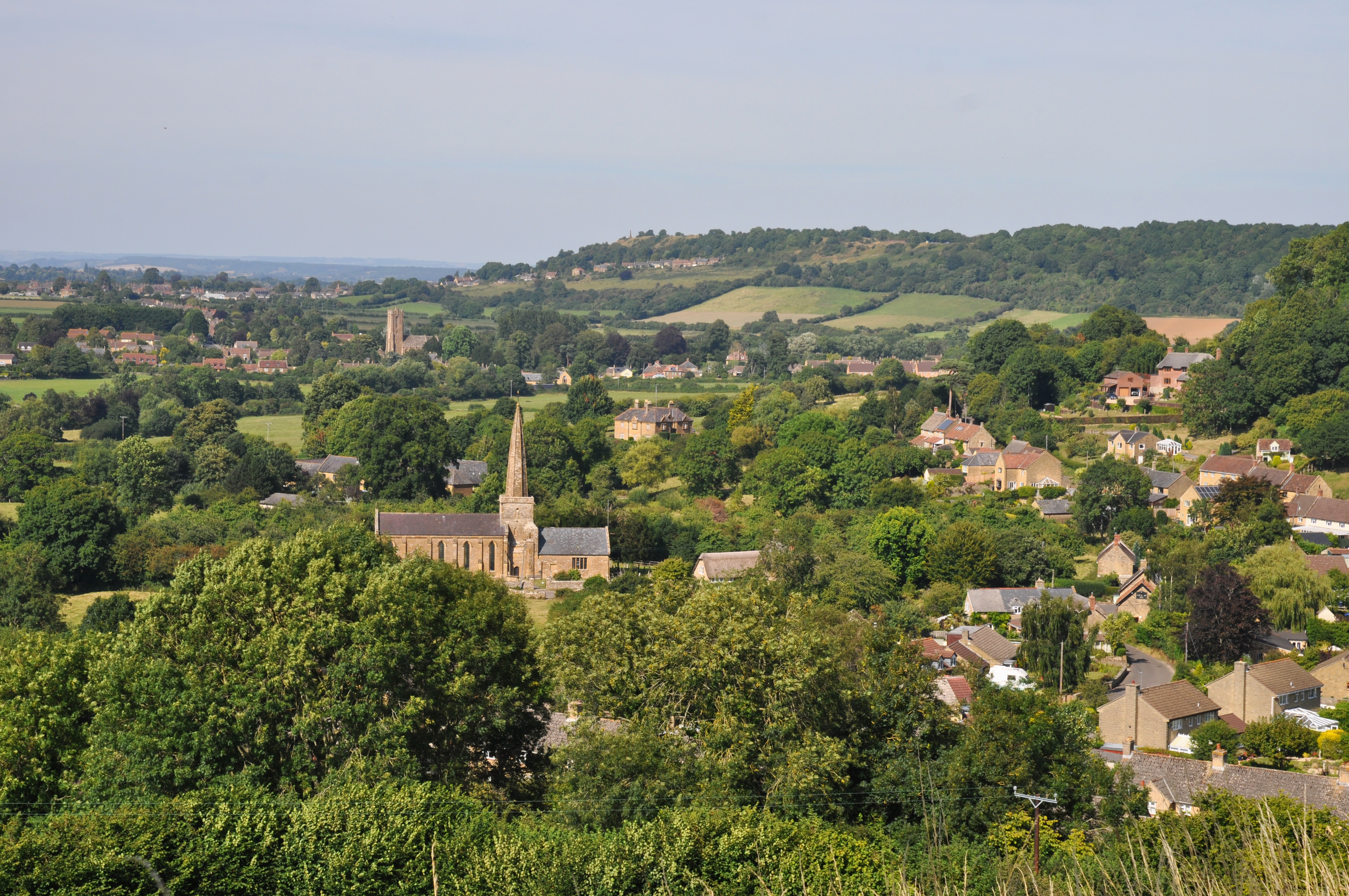
West Chinnock
West Chinnock is a village and former civil parish, now in the parish of West and Middle Chinnock, in the Somerset district, in the ceremonial county of...

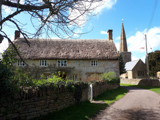
Middle Chinnock
Middle Chinnock is a village in the civil parish of West and Middle Chinnock, in Somerset, England, 3 miles (4.8 km) north east of Crewkerne. It lies 0...
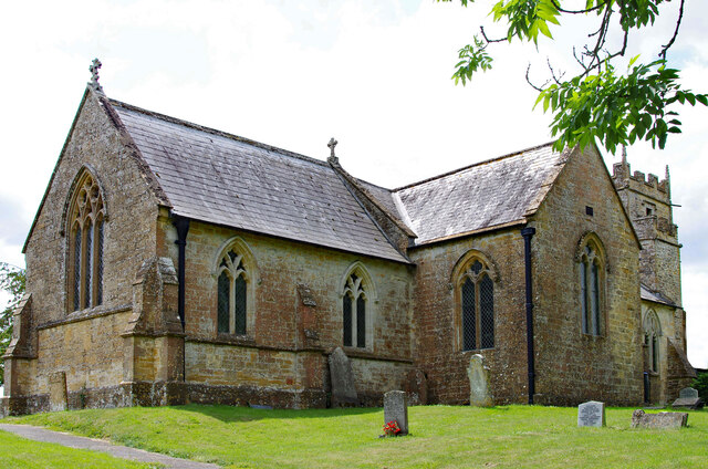
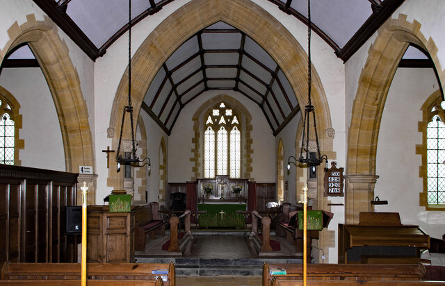
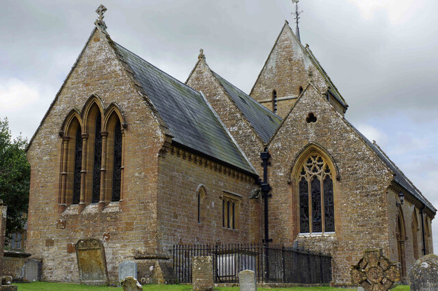
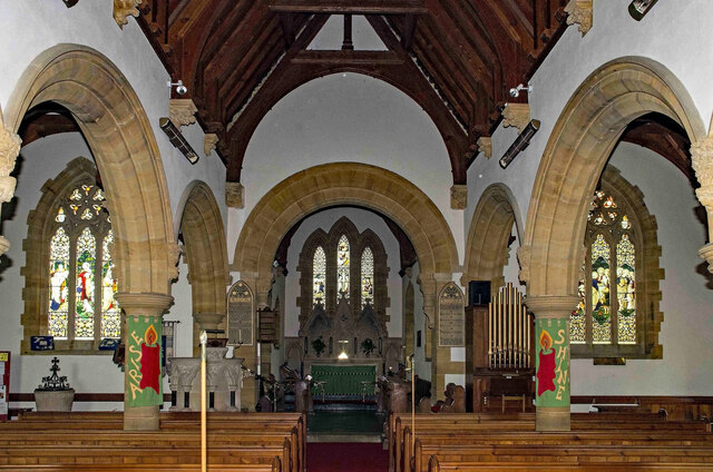
Church of St Margaret, Middle Chinnock
The Anglican Church of St Margaret in Middle Chinnock, Somerset, England was built in the 12th century. It is a Grade II* listed building. == History... ==
Chiselborough
Chiselborough is a village in the South Somerset district of Somerset, England. It is situated on the River Parrett, 5 miles (8 km) west of Yeovil, and...

Church of St Peter and St Paul, Chiselborough
The Anglican Church of St Peter and St Paul in Chiselborough, Somerset, England was built in the 12th century. It is a Grade II* listed building. ��2...

The Chinnocks
The Chinnocks are three villages in Somerset, England, south west of Yeovil in the South Somerset district: East Chinnock Middle Chinnock West ChinnockThe...

Tinker's Bubble
Tinker's Bubble is an intentional community located at Norton Covert in Little Norton near Yeovil in south Somerset, England. It was established in 1994...
Nearby Amenities
Located within 500m of 50.918224,-2.7585144Have you been to Chinnock, West?
Leave your review of Chinnock, West below (or comments, questions and feedback).