Snails Hill
Settlement in Somerset South Somerset
England
Snails Hill
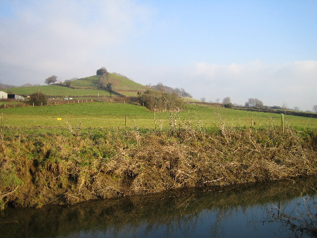
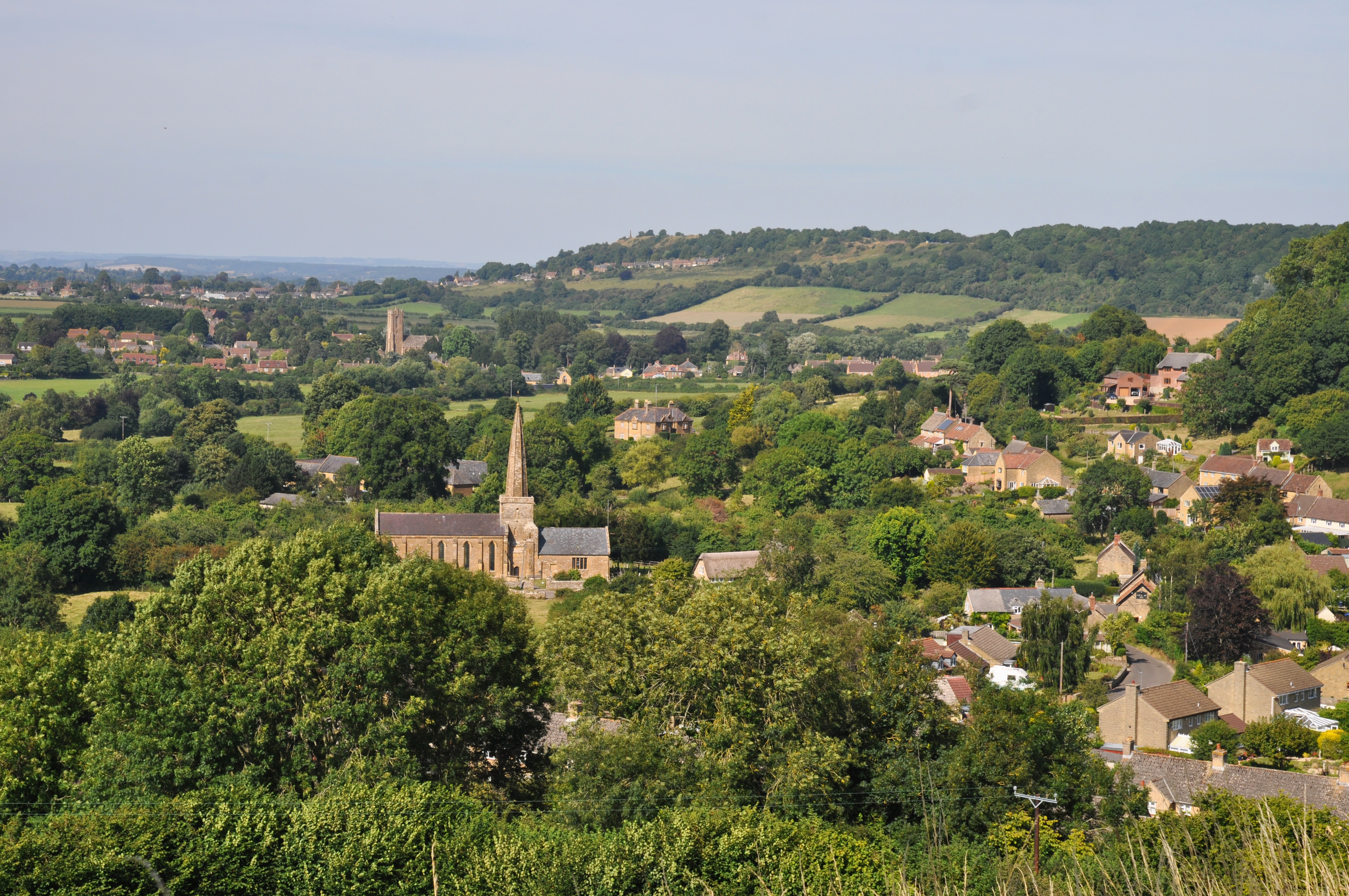
Snails Hill is a picturesque village located in the county of Somerset, England. Situated on the southern slopes of the Mendip Hills, it offers breathtaking views of the surrounding countryside. With a population of approximately 500 residents, Snails Hill maintains a close-knit community atmosphere.
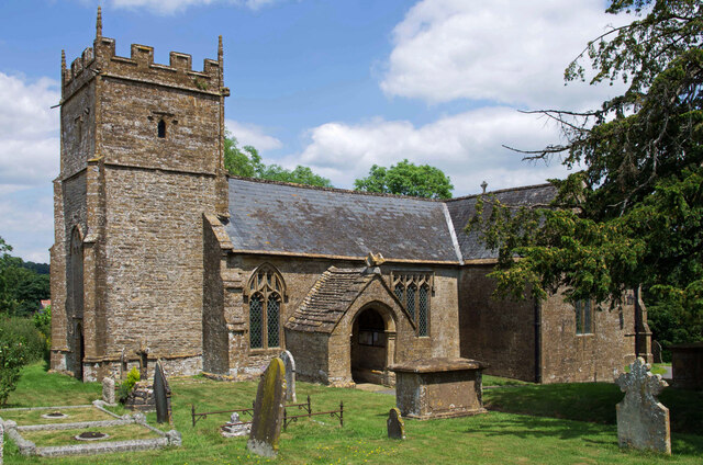
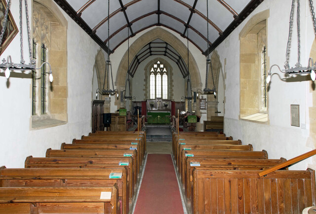
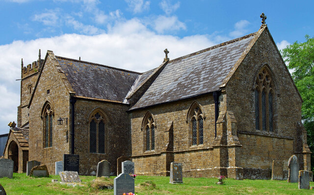
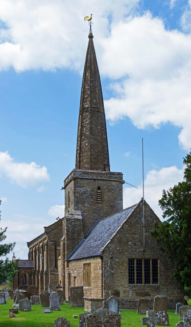
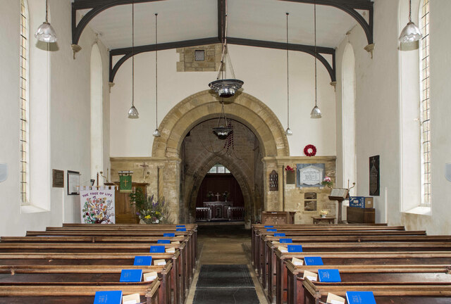
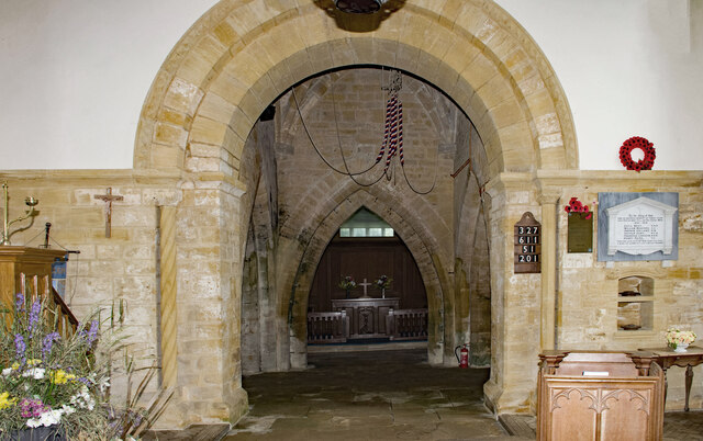
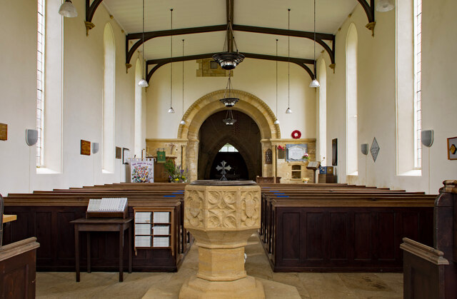
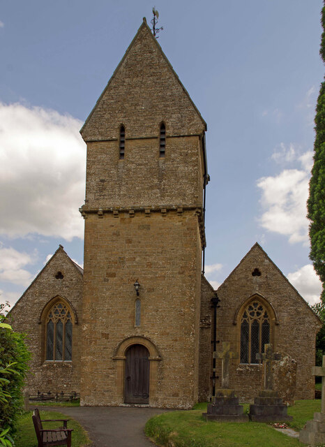
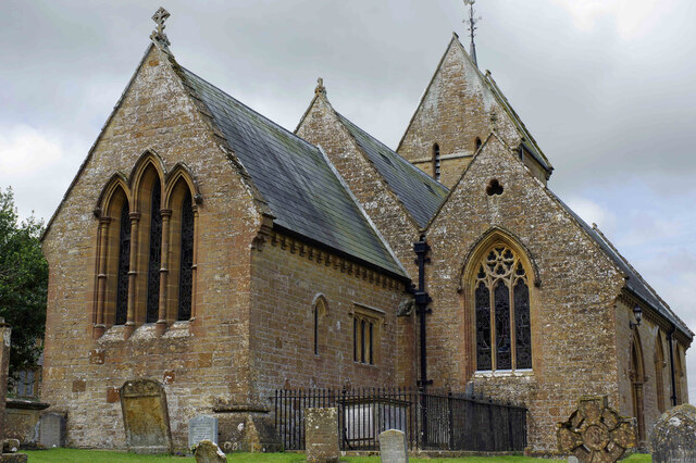
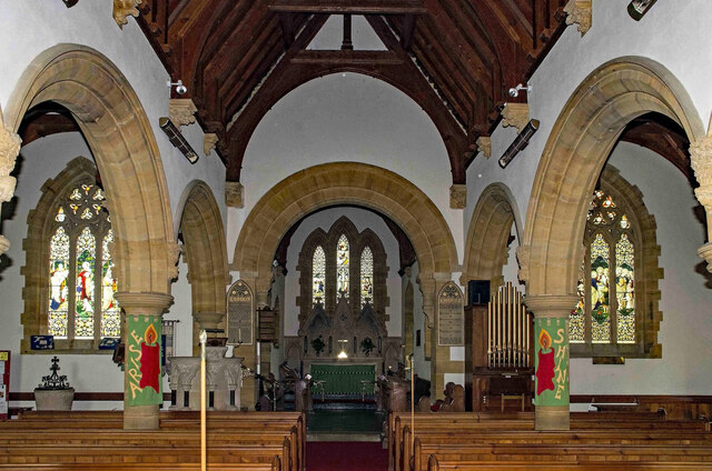
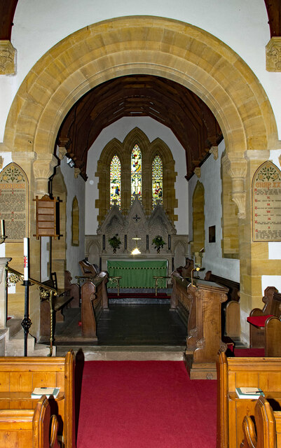
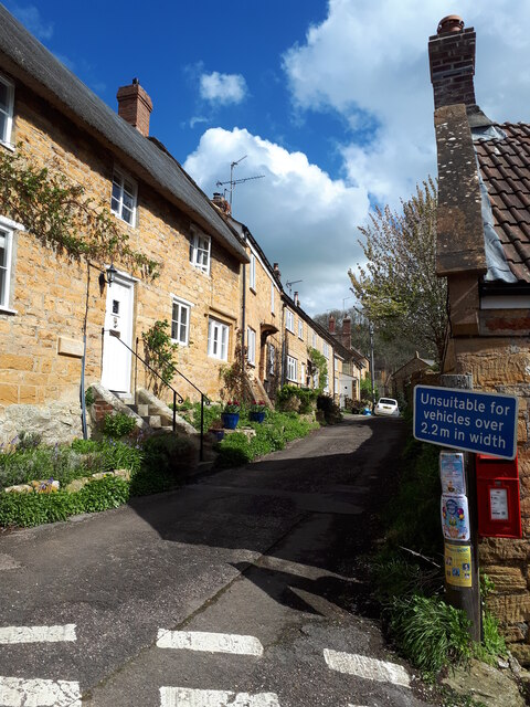
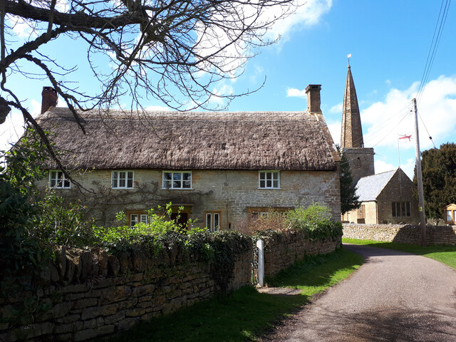
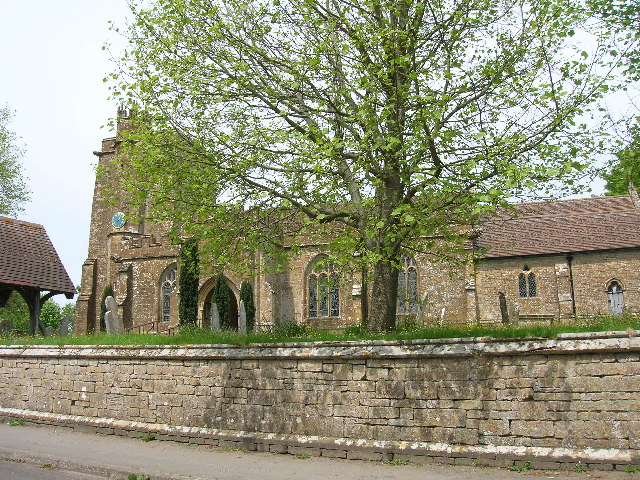
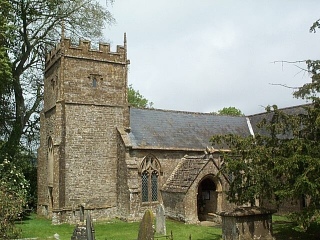
The village is known for its charming thatched cottages and traditional stone buildings, which add to its timeless appeal. The local church, St. Mary's, dates back to the 12th century and stands as a testament to the area's rich history. Its beautiful architecture and serene atmosphere make it a popular spot for visitors and locals alike.
Snails Hill provides a range of amenities to cater to its residents' needs. There is a well-regarded primary school, a village hall, and a local pub that serves as a hub for social gatherings. Additionally, the area benefits from excellent transport links, with regular bus services connecting it to nearby towns and cities.
Nature enthusiasts will be delighted by the abundance of outdoor activities available in Snails Hill. The surrounding countryside offers numerous walking and cycling trails, allowing visitors to explore the breathtaking landscapes of the Mendip Hills. The village is also home to several nature reserves, providing opportunities for birdwatching and wildlife spotting.
Overall, Snails Hill, Somerset, offers a serene and idyllic setting for those seeking a peaceful countryside retreat. Its historic charm, friendly community, and stunning natural surroundings make it a desirable place to live or visit for anyone looking to escape the hustle and bustle of city life.
If you have any feedback on the listing, please let us know in the comments section below.
Snails Hill Images
Images are sourced within 2km of 50.915599/-2.76572 or Grid Reference ST4613. Thanks to Geograph Open Source API. All images are credited.

Snails Hill is located at Grid Ref: ST4613 (Lat: 50.915599, Lng: -2.76572)
Administrative County: Somerset
District: South Somerset
Police Authority: Avon and Somerset
What 3 Words
///bulge.handy.documents. Near Merriott, Somerset
Nearby Locations
Related Wikis

Church of the Blessed Virgin Mary, West Chinnock
The Church of the Blessed Virgin Mary is a Church of England church in West Chinnock, Somerset, England. It has 13th-century origins but was largely rebuilt...

West Chinnock
West Chinnock is a village and former civil parish, now in the parish of West and Middle Chinnock, in the Somerset district, in the ceremonial county of...
Church of St Margaret, Middle Chinnock
The Anglican Church of St Margaret in Middle Chinnock, Somerset, England was built in the 12th century. It is a Grade II* listed building. == History... ==

Middle Chinnock
Middle Chinnock is a village in the civil parish of West and Middle Chinnock, in Somerset, England, 3 miles (4.8 km) north east of Crewkerne. It lies 0...

Church of St Peter and St Paul, Chiselborough
The Anglican Church of St Peter and St Paul in Chiselborough, Somerset, England was built in the 12th century. It is a Grade II* listed building. ��2...
Chiselborough
Chiselborough is a village in the South Somerset district of Somerset, England. It is situated on the River Parrett, 5 miles (8 km) west of Yeovil, and...

Merriott
Merriott is a village and civil parish in Somerset, England, near the town of Crewkerne and 7 miles (11.3 km) west of Yeovil in the South Somerset district...
Church of All Saints, Merriott
The Anglican Church of All Saints in Merriott, Somerset, England was built in the 13th century. It is a Grade II* listed building. == History == The church...
Nearby Amenities
Located within 500m of 50.915599,-2.76572Have you been to Snails Hill?
Leave your review of Snails Hill below (or comments, questions and feedback).