Snailbeach

Settlement in Shropshire

England

Snailbeach

Back of Lordshill Baptist chapel
Back of Lordshill Baptist chapel Credit: Mike Parker

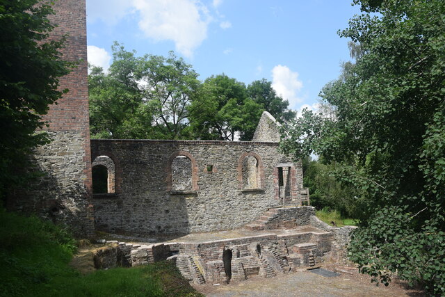
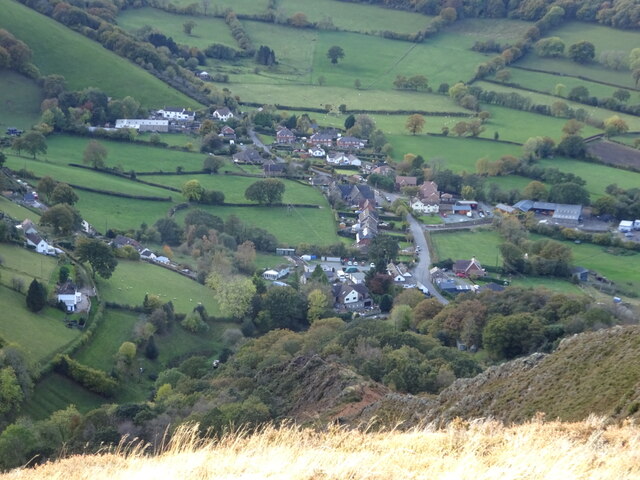
Snailbeach is a village located in the county of Shropshire, England. Situated within the Shropshire Hills Area of Outstanding Natural Beauty, it lies approximately 10 miles south-west of the town of Shrewsbury. The village is known for its mining history, specifically its lead mines, which were active from the 18th century until their closure in 1955.

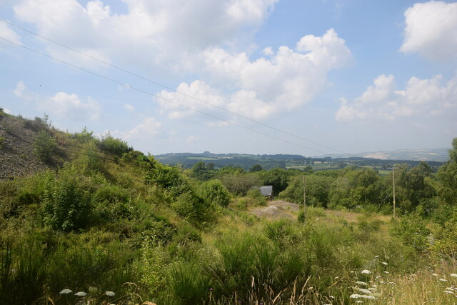
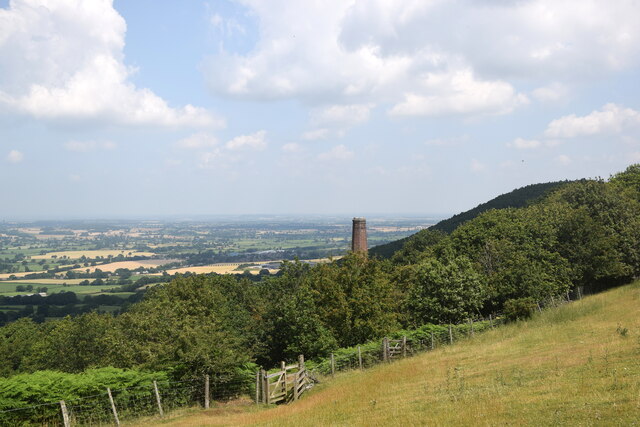
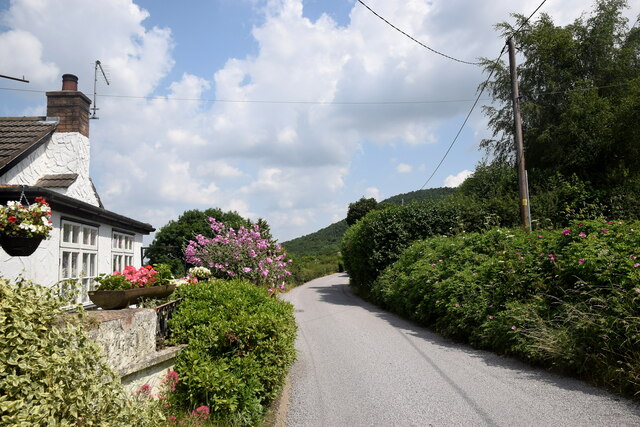
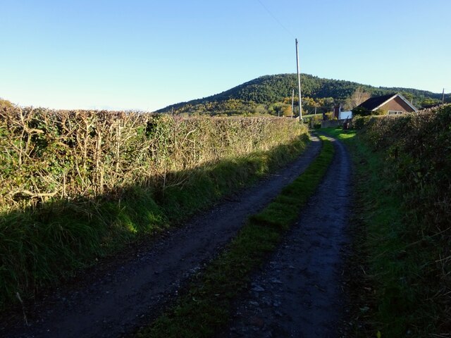
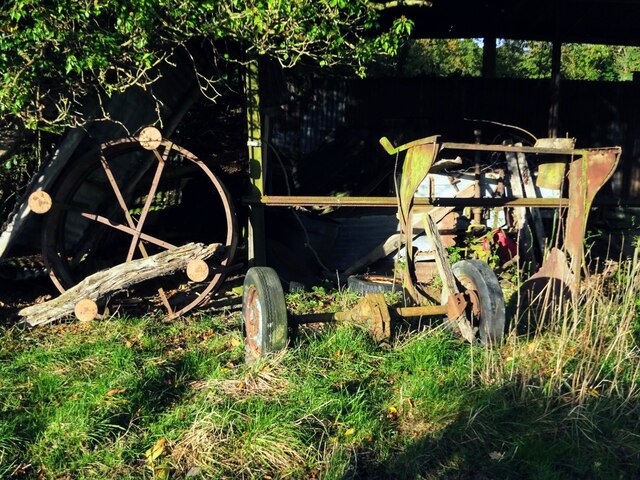
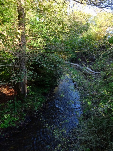
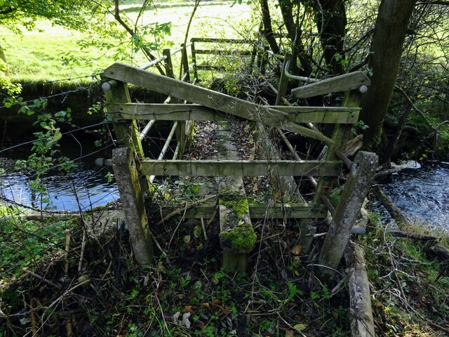
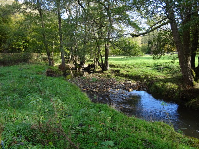
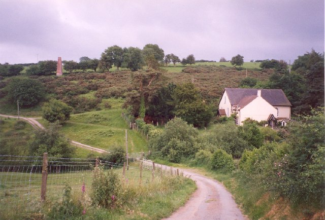
The village is nestled in a picturesque valley and is surrounded by rolling hills, offering breathtaking views of the Shropshire countryside. The remnants of the lead mines can still be seen today, with old buildings and disused shafts serving as a reminder of Snailbeach's industrial past.

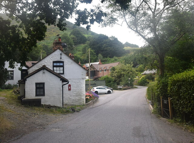
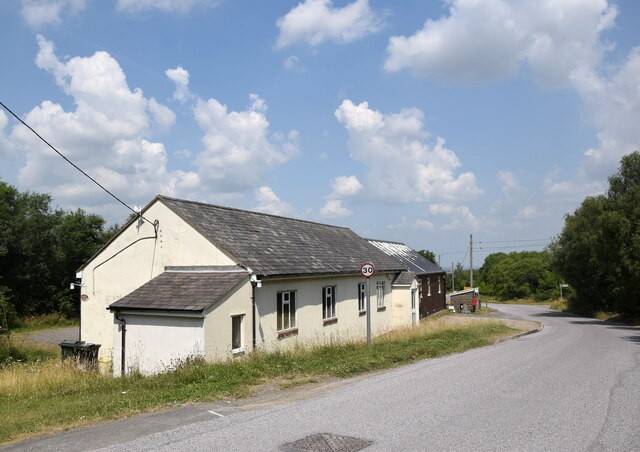
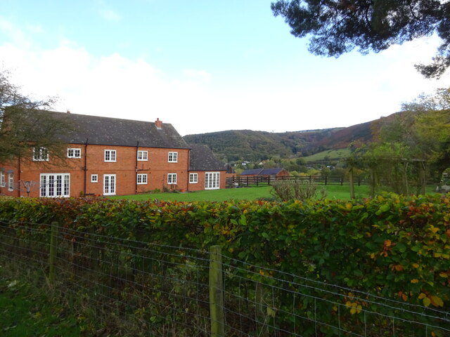
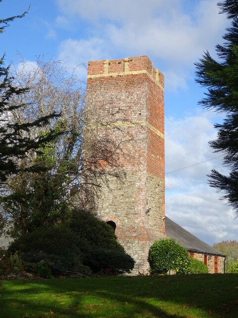
Despite its small size, Snailbeach boasts a strong sense of community. The village is home to a church, St. Luke's, which dates back to the 19th century and serves as a focal point for local residents. There is also a village hall, where various activities and events take place throughout the year, bringing the community together.

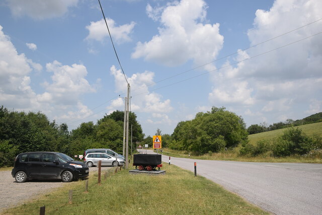
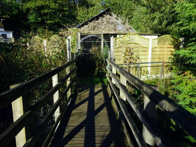
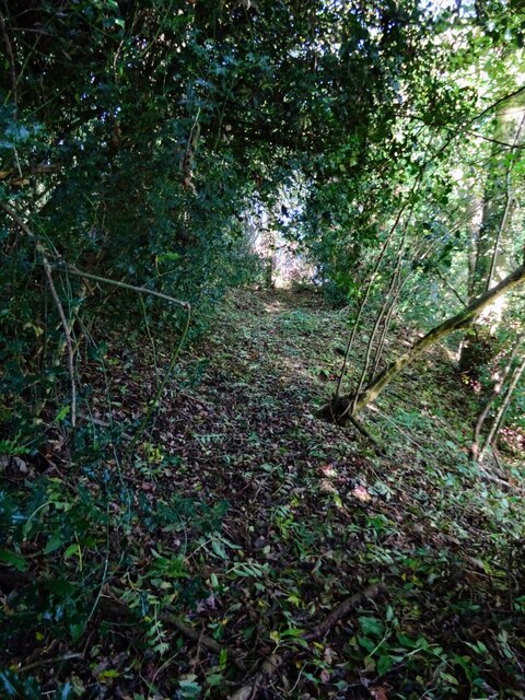
For outdoor enthusiasts, Snailbeach offers ample opportunities for hiking and exploring the surrounding natural beauty. The area is crisscrossed with footpaths and bridleways, allowing visitors to discover hidden gems and enjoy the tranquility of the countryside.

Although Snailbeach is a relatively quiet village, it is within easy reach of larger towns and amenities. The nearby town of Minsterley is just a short drive away, offering shops, pubs, and other essential services.

In conclusion, Snailbeach is a charming village in Shropshire, renowned for its mining heritage, stunning natural landscapes, and close-knit community. It is an idyllic destination for those seeking a peaceful retreat in the heart of rural England.

If you have any feedback on the listing, please let us know in the comments section below.

Snailbeach Images

Images are sourced within 2km of 52.615214/-2.922052 or Grid Reference SJ3702. Thanks to Geograph Open Source API. All images are credited.

Back of Lordshill Baptist chapel
Industrial wasteland Spoil heaps associated with the former Snailbeach lead mine.
Industrial wasteland
Spoil heaps associated with the former Snailbeach lead mine.
Remains of Snailbeach lead mine This, I think, is the remains of the boiler house.
Remains of Snailbeach lead mine
This, I think, is the remains of the boiler house.
Looking towards Snailbeach... ...including a former mine chimney and in the distance the village of Minsterley.
Looking towards Snailbeach...
...including a former mine chimney and in the distance the village of Minsterley.
Crowsnest Dingle A Shropshire hamlet clinging to the side of Oak Hill.  The white building in the foreground was marked as the Cross Guns Inn on the 1901 25-inch OS map.  Note the minuscule post box set into the wall.
Crowsnest Dingle
A Shropshire hamlet clinging to the side of Oak Hill. The white building in the foreground was marked as the Cross Guns Inn on the 1901 25-inch OS map. Note the minuscule post box set into the wall.
Roadside cottage with flowers... ...just south of Snailbeach.
Roadside cottage with flowers...
...just south of Snailbeach.
Snailbeach village hall
Snailbeach scene The village hall car park and a replica tub or minecart (<span class="nowrap"><a title="https://en.wikipedia.org/wiki/Minecart" rel="nofollow ugc noopener" href="https://en.wikipedia.org/wiki/Minecart">Link</a><img style="margin-left:2px;" alt="External link" title="External link - shift click to open in new window" src="https://s1.geograph.org.uk/img/external.png" width="10" height="10"/></span> ) similar to the type once used at the nearby lead mines.
Snailbeach scene
The village hall car park and a replica tub or minecart (LinkExternal link ) similar to the type once used at the nearby lead mines.
Track and footpath east of Snailbeach Looking back to Maddox’s Coppice
Track and footpath east of Snailbeach
Looking back to Maddox’s Coppice
Long discarded farm equipment Most farms have these nostalgic graveyards
Long discarded farm equipment
Most farms have these nostalgic graveyards
Stream running alongside the A488 at The Waterwheel Must have been the driver of the named Waterwheel - long since disappeared. This stream finds its way north to join the Rea Brook a few miles further on.
Stream running alongside the A488 at The Waterwheel
Must have been the driver of the named Waterwheel - long since disappeared. This stream finds its way north to join the Rea Brook a few miles further on.
Footpath bridge at The Waterwheel Footpath leads into stream side cottages’ back gardens
Footpath bridge at The Waterwheel
Footpath leads into stream side cottages’ back gardens
Little used footpath off the A488 south of Wagbeach Leads up into pastureland, hillside, and on this occasion a visual encounter with a surprised roaming fox.
Little used footpath off the A488 south of Wagbeach
Leads up into pastureland, hillside, and on this occasion a visual encounter with a surprised roaming fox.
Little used and dilapidated footbridge South of The Waterwheel, gaining access to the track leading up to Hogstow Hall
Little used and dilapidated footbridge
South of The Waterwheel, gaining access to the track leading up to Hogstow Hall
From footbridge south of The Waterwheel Idyllic picnic spot
From footbridge south of The Waterwheel
Idyllic picnic spot
Hogstow Hall Sprawling farm buildings with glorious views to The Stiperstones
Hogstow Hall
Sprawling farm buildings with glorious views to The Stiperstones
Industrial heritage at Crowsnest Old chimney and workings in the garden of a private house - well maintained but not for public view
Industrial heritage at Crowsnest
Old chimney and workings in the garden of a private house - well maintained but not for public view
Ridge leading abruptly down from Oak Hill Stiperstones village nestling far below
Ridge leading abruptly down from Oak Hill
Stiperstones village nestling far below
Show me another place!

Snailbeach is located at Grid Ref: SJ3702 (Lat: 52.615214, Lng: -2.922052)

Unitary Authority: Shropshire

Police Authority: West Mercia

What 3 Words

///polo.choppers.rejects. Near Minsterley, Shropshire

Related Wikis

Snailbeach

Snailbeach is a village in Shropshire, England, located near Shrewsbury at grid reference SJ375025. The population details taken at the 2011 census can...

Snailbeach Countryside Site

Snailbeach Countryside Site is an industrial archeology site in Shropshire. It is located three 3 miles (4.8 km) south of the village of Pontesbury and...

Eastridge Mountain Bike Trail Centre

Eastridge Mountain Bike Trail Centre is a free mountain biking venue in Shropshire, UK. The venue is developed and maintained by volunteers, and features...

Habberley, Shropshire

Habberley is a small village and former civil parish, now in the parish of Pontesbury, in the Shropshire district, in the ceremonial county of Shropshire...

Nearby Amenities

Located within 500m of 52.615214,-2.922052
Snailbeach
Place: village
Wikidata: Q3401266
Wikipedia: en:Snailbeach
Lat/Long: 52.6138145/-2.9266305
Fixme: Doesn't match imagery, needs proper survey
Lat/Long: 52.6124872/-2.919043
Fixme: Needs survey - how does this join at the north?
Lat/Long: 52.6134292/-2.9262366
Toilets
Lat/Long: 52.6144595/-2.9272451
Building: yes
Lat/Long: 52.6153007/-2.9174327
Building: yes
Lat/Long: 52.6146949/-2.9184519
Building: yes
Lat/Long: 52.6147861/-2.9186558
Man Made: adit
Lat/Long: 52.6146167/-2.9179262
Building: yes
Lat/Long: 52.6137894/-2.9230331
Snailbeach Mine
Historic: mine
Mineral: lead
Lat/Long: 52.6138334/-2.9248946
Building: yes
Lat/Long: 52.6133969/-2.9241919
Building: yes
Lat/Long: 52.6144066/-2.9244869
Building: yes
Lat/Long: 52.6144424/-2.9237198
Building: yes
Lat/Long: 52.6147519/-2.9237144
Building: yes
Lat/Long: 52.6146444/-2.9241919
Building: yes
Lat/Long: 52.6153512/-2.9242938
Building: yes
Lat/Long: 52.6155792/-2.924047
Building: yes
Lat/Long: 52.6133969/-2.9244225
Building: yes
Lat/Long: 52.6137584/-2.9270135
Building: yes
Lat/Long: 52.6136542/-2.9265146
Generator Method: photovoltaic
Generator Output Electricity: yes
Generator Source: solar
Generator Type: solar_photovoltaic_panel
Location: roof
Power: generator
Lat/Long: 52.6148855/-2.9283983
Generator Method: photovoltaic
Generator Output Electricity: yes
Generator Source: solar
Generator Type: solar_photovoltaic_panel
Location: roof
Power: generator
Lat/Long: 52.6174667/-2.9271376
Generator Method: photovoltaic
Generator Output Electricity: yes
Generator Source: solar
Generator Type: solar_photovoltaic_panel
Location: roof
Power: generator
Lat/Long: 52.617575/-2.9270531
Generator Method: photovoltaic
Generator Output Electricity: yes
Generator Source: solar
Generator Type: solar_photovoltaic_panel
Location: roof
Power: generator
Lat/Long: 52.6174903/-2.927202
Give Way
Direction: backward
Lat/Long: 52.6147715/-2.9270194
The data included in this document is from www.openstreetmap.org. The data is made available under ODbL.

Have you been to Snailbeach?

Leave your review of Snailbeach below (or comments, questions and feedback).