Snagshall
Settlement in Sussex Rother
England
Snagshall
Snagshall is a small village located in the county of Sussex, in the southeastern part of England. Situated amidst lush green fields and rolling hills, this picturesque village offers a peaceful and idyllic setting for its residents.
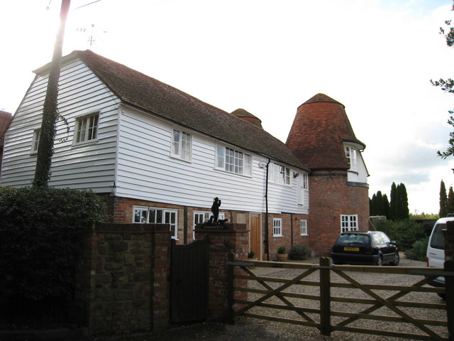
With a population of around 500 people, Snagshall retains a close-knit community atmosphere. The village is characterized by its charming cottages, some of which date back several centuries, adding to the village's historical appeal. The architecture reflects a mix of traditional English styles, with thatched roofs and exposed wooden beams.
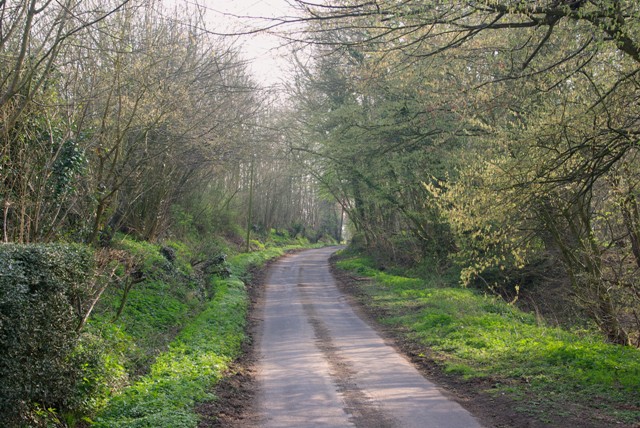
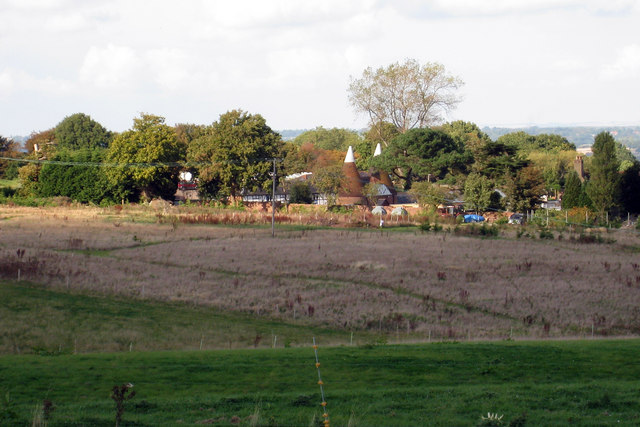
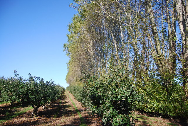
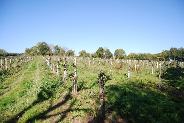
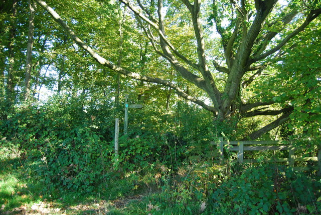
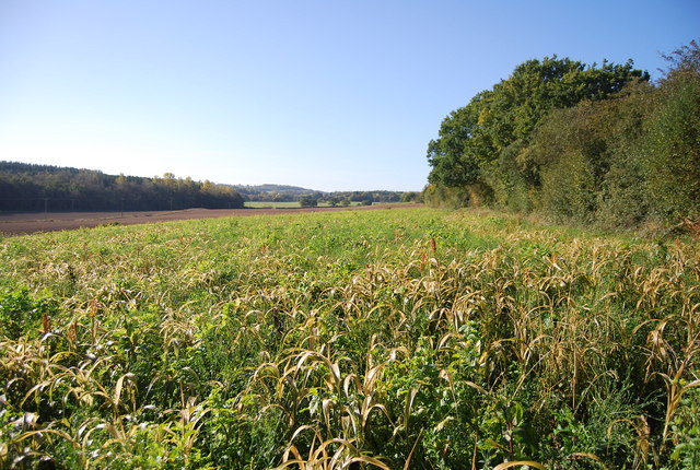
Snagshall is surrounded by beautiful countryside, making it a haven for nature lovers and outdoor enthusiasts. The village is dotted with numerous walking trails, providing ample opportunities for residents and visitors to explore the stunning landscapes and enjoy the fresh air. The nearby Snagshall Forest is a popular destination, offering miles of woodland paths and a rich variety of flora and fauna.
In terms of amenities, Snagshall boasts a village pub, a local convenience store, and a primary school, catering to the needs of its residents. The village also hosts various community events throughout the year, such as fairs and festivals, fostering a strong sense of community spirit.
Despite its tranquil rural setting, Snagshall is conveniently located within a short drive of larger towns and cities, providing easy access to a wider range of services, employment opportunities, and cultural attractions.
Overall, Snagshall offers a serene and charming retreat for those seeking a peaceful countryside lifestyle, with its beautiful surroundings and strong community spirit.
If you have any feedback on the listing, please let us know in the comments section below.
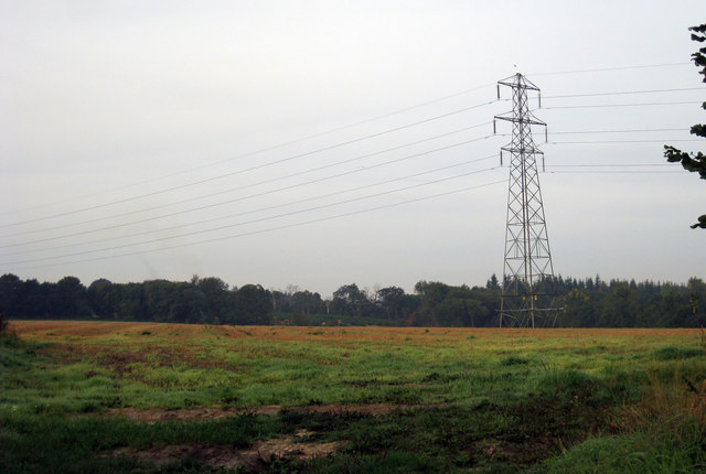
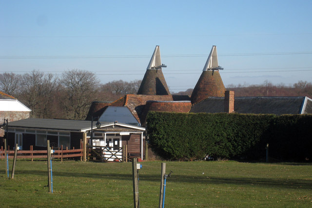
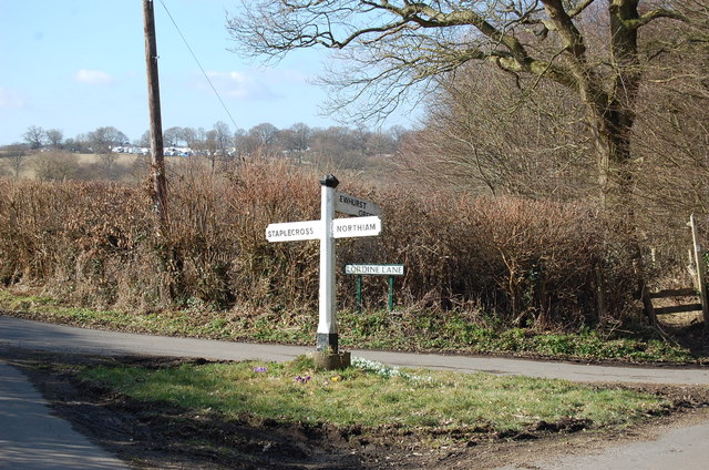
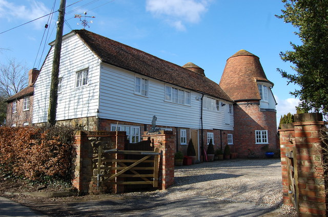
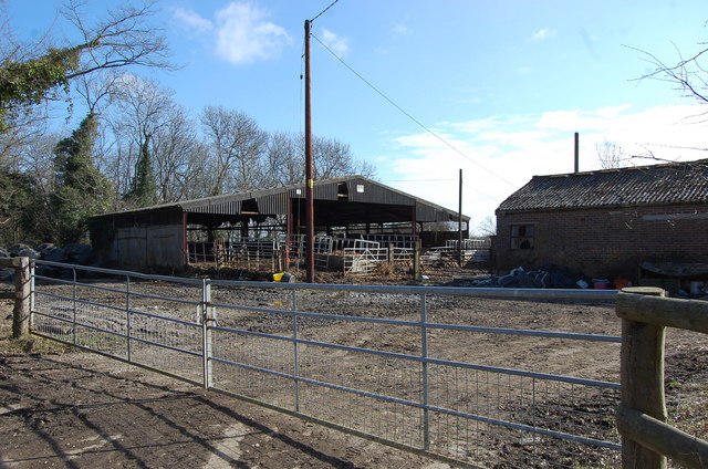
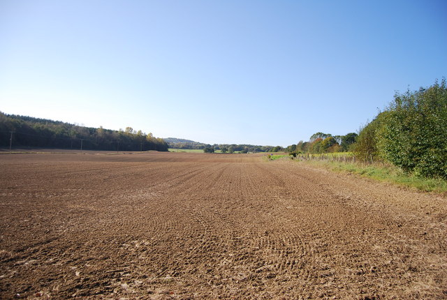
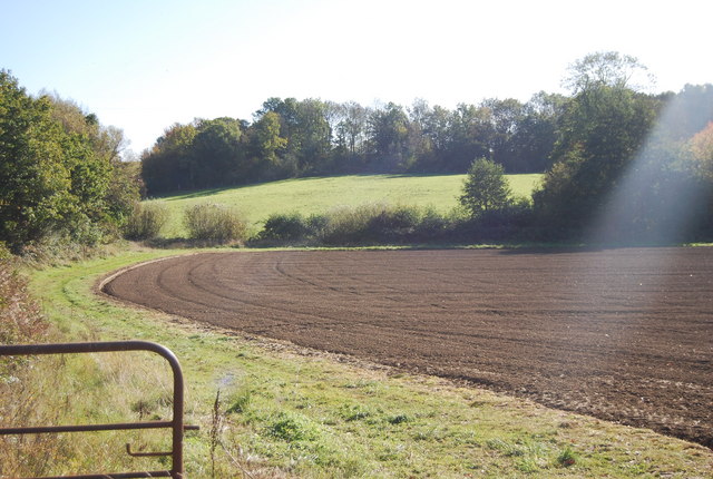
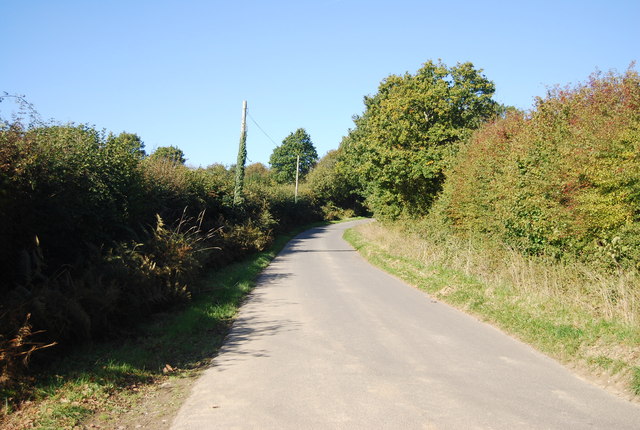
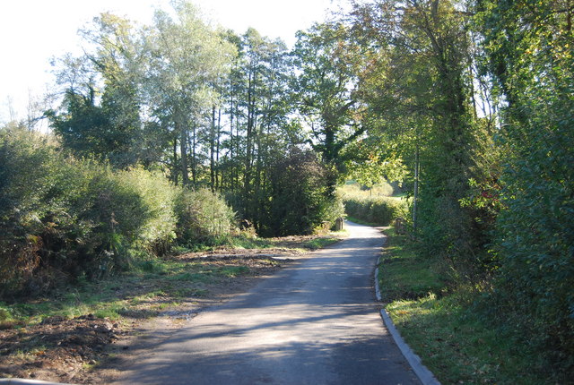
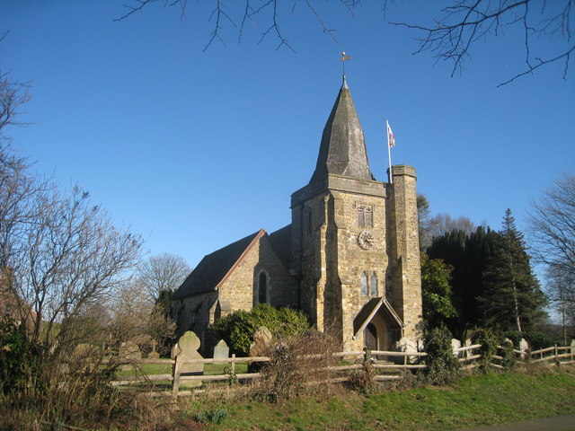
Snagshall Images
Images are sourced within 2km of 50.988879/0.547829 or Grid Reference TQ7824. Thanks to Geograph Open Source API. All images are credited.


Snagshall is located at Grid Ref: TQ7824 (Lat: 50.988879, Lng: 0.547829)
Administrative County: East Sussex
District: Rother
Police Authority: Sussex
What 3 Words
///trackers.shed.difficult. Near Northiam, East Sussex
Related Wikis
Ewhurst Green
Ewhurst Green is a village and the main settlement of the civil parish Ewhurst, in the Rother district, in the county of East Sussex, England. It is located...
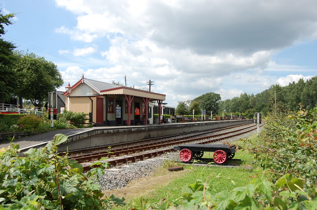
Bodiam railway station
Bodiam railway station is a heritage railway station on the Kent and East Sussex Railway in Bodiam, East Sussex. == History == Situated half a mile from...

Bodiam
Bodiam () is a small village and civil parish in the Rother District of East Sussex, England. It lies in the valley of the River Rother, near to the villages...
Ewhurst, East Sussex
Ewhurst is a civil parish in the Rother district of East Sussex, England. The parish is on the southern ridge of the River Rother valley, and much of the...
Nearby Amenities
Located within 500m of 50.988879,0.547829Have you been to Snagshall?
Leave your review of Snagshall below (or comments, questions and feedback).