West Chiltington Common

Settlement in Sussex Horsham

England

West Chiltington Common

Vines as far as you can see The extensive vines at Nyetimber Vineyard with the distant backdrop of the South Downs.
Vines as far as you can see Credit: Chris Thomas-Atkin

West Chiltington Common is a picturesque village situated in the county of Sussex, England. Located approximately 50 miles south of London, it lies within the South Downs National Park, boasting stunning natural beauty and a rich history.

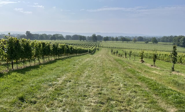
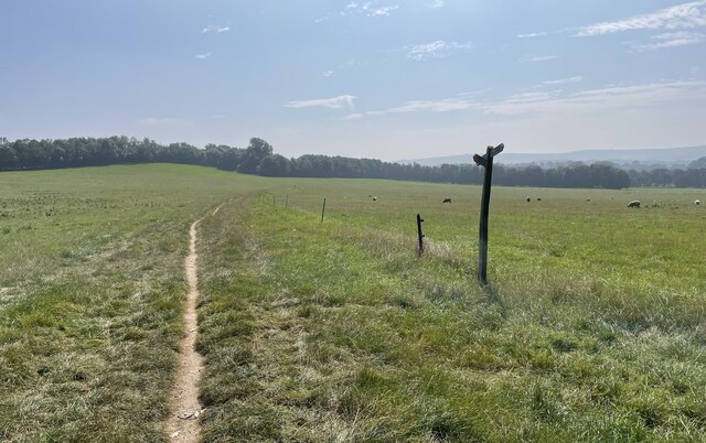
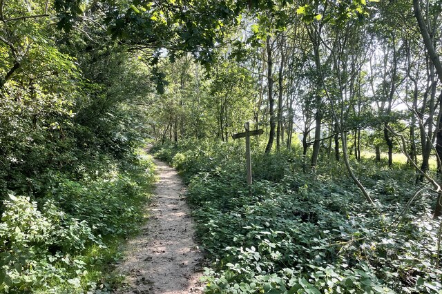
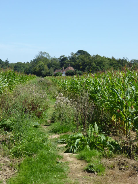
The village is characterized by its charming rural setting, surrounded by rolling hills, lush meadows, and ancient woodlands. West Chiltington Common itself is a vast area of open land, covering over 100 acres, and is a designated Site of Special Scientific Interest (SSSI). It is home to a diverse range of flora and fauna, including rare orchids, butterflies, and birds.

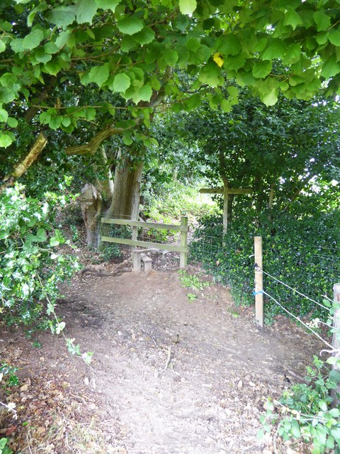
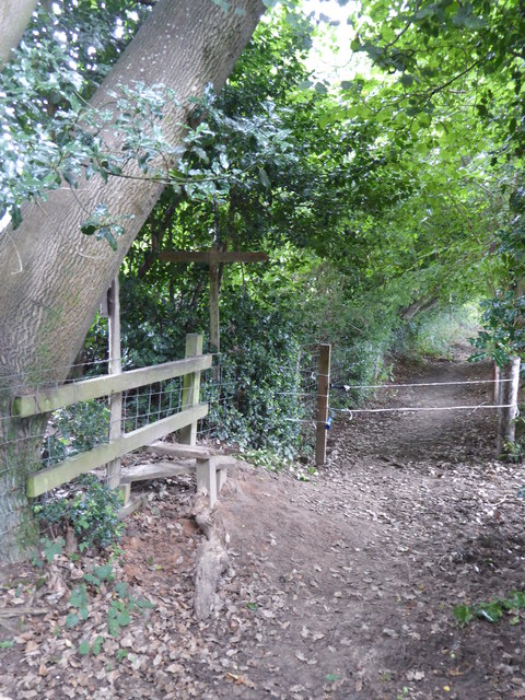
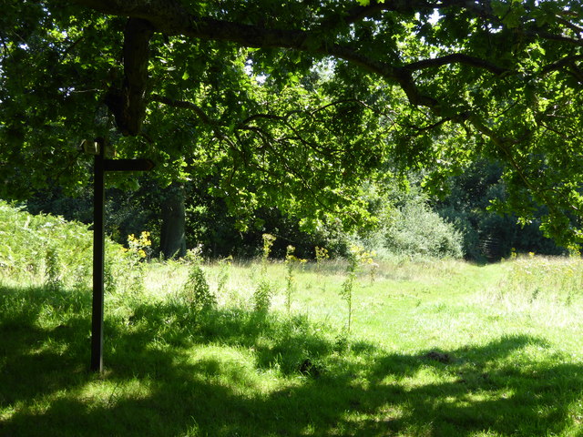
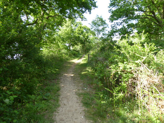
The common offers a tranquil escape for nature lovers, with numerous walking trails and bridle paths that wind through its enchanting landscape. The area is particularly renowned for its heathland, showcasing vibrant purple heather during the summer months.

In addition to its natural wonders, West Chiltington Common also has a fascinating history. The remains of an Iron Age hillfort, known as Chanctonbury Ring, can be found on the common, offering a glimpse into ancient times. The site is said to be steeped in folklore, with tales of buried treasure and ghostly sightings.

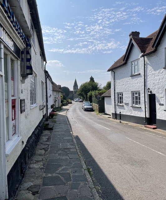
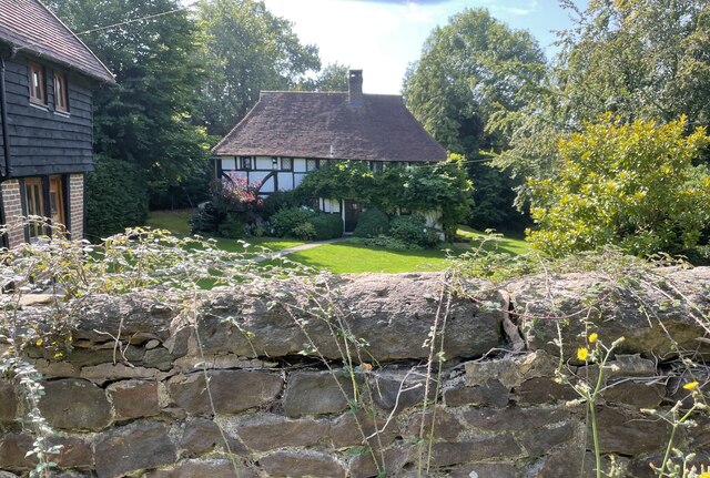
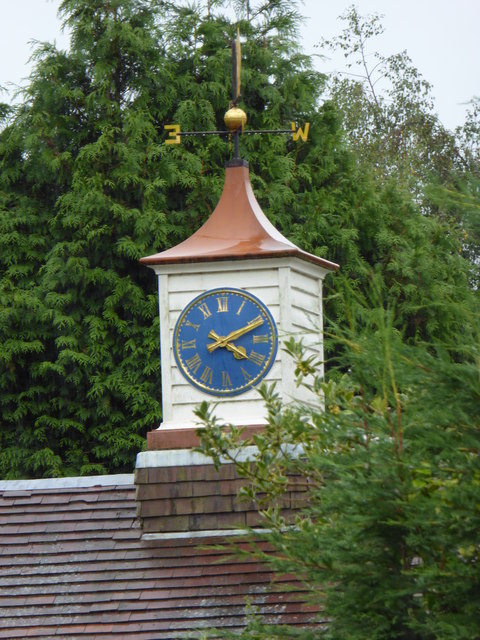
The village itself is a close-knit community, with a handful of traditional cottages, a local pub, and a beautiful Norman church, St Mary's. The surrounding area offers excellent amenities, including shops, schools, and recreational facilities.

West Chiltington Common is a hidden gem in the heart of Sussex, offering a perfect blend of natural beauty, history, and community spirit. Whether you are a nature enthusiast, history buff, or simply seeking a peaceful getaway, this idyllic village is sure to captivate your senses.

If you have any feedback on the listing, please let us know in the comments section below.

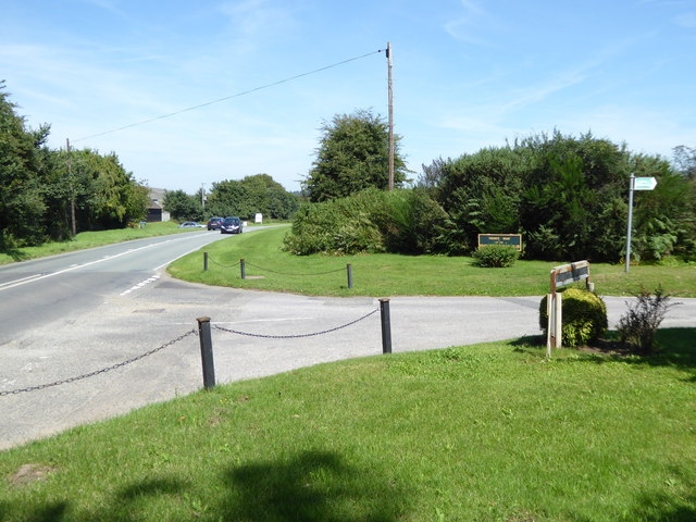
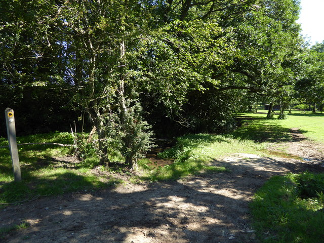
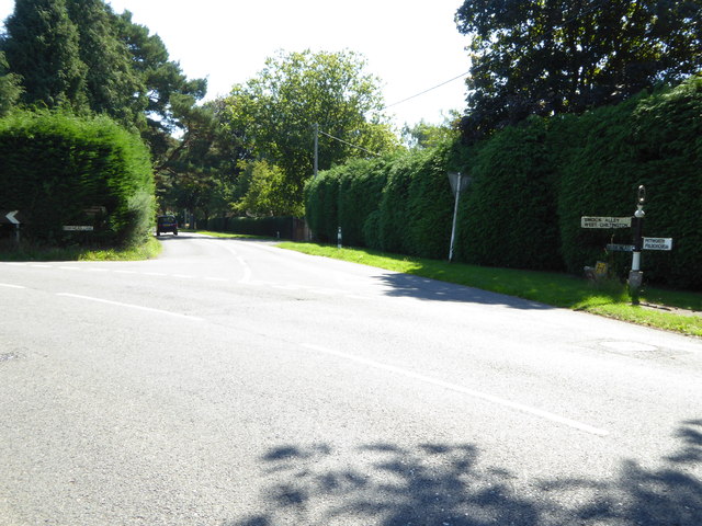
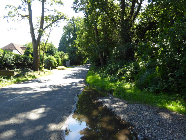
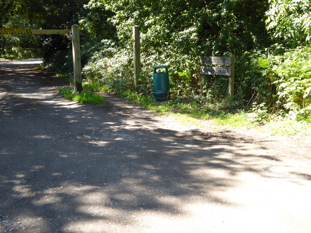
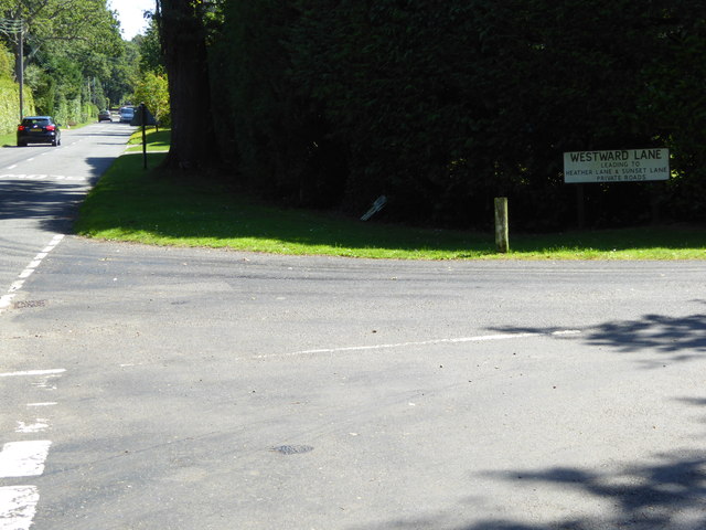
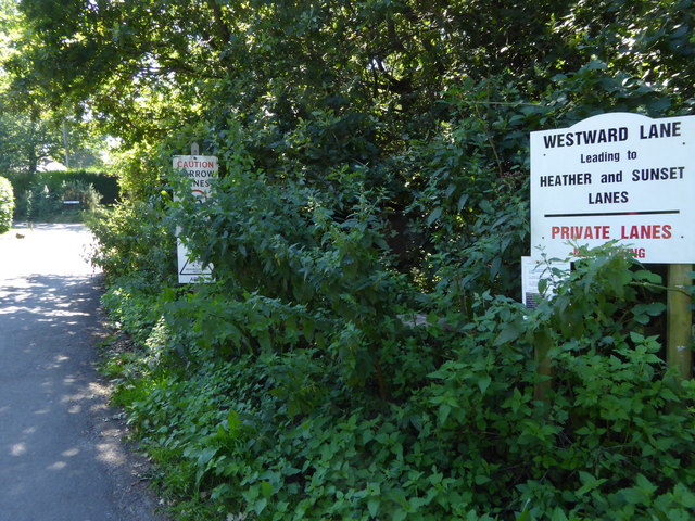
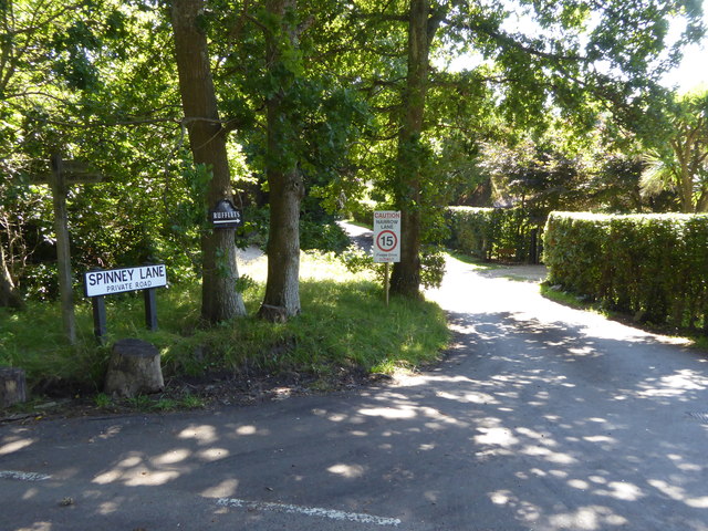
West Chiltington Common Images

Images are sourced within 2km of 50.946195/-0.45876176 or Grid Reference TQ0817. Thanks to Geograph Open Source API. All images are credited.

Vines as far as you can see The extensive vines at Nyetimber Vineyard with the distant backdrop of the South Downs.
Vines as far as you can see
The extensive vines at Nyetimber Vineyard with the distant backdrop of the South Downs.
West Chiltington Looking south towards the Parish Church of St Mary.
West Chiltington
Looking south towards the Parish Church of St Mary.
Naldretts Farmhouse The farmhouse viewed from roadside. It is a Grade II listed building. See <span class="nowrap"><a title="https://historicengland.org.uk/listing/the-list/list-entry/1027174" rel="nofollow ugc noopener" href="https://historicengland.org.uk/listing/the-list/list-entry/1027174">Link</a><img style="margin-left:2px;" alt="External link" title="External link - shift click to open in new window" src="https://s1.geograph.org.uk/img/external.png" width="10" height="10"/></span>
Naldretts Farmhouse
The farmhouse viewed from roadside. It is a Grade II listed building. See LinkExternal link
Path Junction On bridleway number 2404 heading towards Thakeham with footpath number 2403 joining from the left.
Path Junction
On bridleway number 2404 heading towards Thakeham with footpath number 2403 joining from the left.
Path Junction Paths in woodland near Town House Farm.
Path Junction
Paths in woodland near Town House Farm.
Clock and weathervane in Nutbourne The weathervane is at an unfortunate angle - I wonder what it is.
Clock and weathervane in Nutbourne
The weathervane is at an unfortunate angle - I wonder what it is.
Crossing footpaths seen from the east
Crossing footpaths seen from the south See also <a href="https://www.geograph.org.uk/photo/4621464">TQ0618 : Crossing footpaths seen from the east</a>.
Crossing footpaths seen from the south
The A283 junction with road of the West Sussex Golf Club A wintry view is at <a title="https://www.geograph.org.uk/photo/1673786" href="https://www.geograph.org.uk/photo/1673786">Link</a>.
The A283 junction with road of the West Sussex Golf Club
A wintry view is at Link.
Path by the River Chilt This path is used by the West Sussex Literary Trail.
Path by the River Chilt
This path is used by the West Sussex Literary Trail.
Looking into Monkmead Lane from the north See <a title="https://www.geograph.org.uk/photo/246053" href="https://www.geograph.org.uk/photo/246053">Link</a> for a different view from 2006.
Looking into Monkmead Lane from the north
See Link for a different view from 2006.
Looking south on Monkmead Lane from bridleway junction
Bridleway goes south west from Monkmead Lane
Looking eastwards on Monkmead Lane from Westward Lane
Westward Lane
Westward Lane
The northern end of Spinney Lane
Hareswith House seen from footpath to the west
Footpath junction beneath oak tree This is between West Chiltington Common and Storrington.
Footpath junction beneath oak tree
This is between West Chiltington Common and Storrington.
Show me another place!

West Chiltington Common is located at Grid Ref: TQ0817 (Lat: 50.946195, Lng: -0.45876176)

Administrative County: West Sussex

District: Horsham

Police Authority: Sussex

What 3 Words

///goods.crumples.prosper. Near Storrington, West Sussex

Related Wikis

Meeten's Mill, West Chiltington

Meeten's Mill is a grade II listed smock mill at West Chiltington, Sussex, England, which has been converted to residential use. == History == Meeten's...

Henry Bowreman Foote

Major General Henry Robert Bowreman Foote, (5 December 1904 – 11 November 1993) was a British Army officer and a recipient of the Victoria Cross, the...

Geoffrey Woolley

Geoffrey Harold Woolley, (14 May 1892 – 10 December 1968) was a British Army infantry officer, Church of England priest, and Second World War military...

St Mary's Church, West Chiltington

St Mary's Church is the Grade I listed Anglican parish church of West Chiltington, a village in the Horsham district of West Sussex, England. The 12th...

West Chiltington

West Chiltington is a village and civil parish in the Horsham district of West Sussex, England. It lies on the Storrington to Broadford Bridge road, 2...

Hurston Warren

Hurston Warren is a 69.1-hectare (171-acre) biological Site of Special Scientific Interest south-east of Pulborough in West Sussex.This site has a variety...
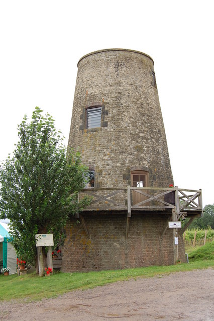
Nutbourne Windmill

Nutbourne Windmill is a tower mill at Nutbourne, Sussex, England which has been converted to retail use. == History == Nutbourne Windmill was built in...

Nutbourne, Horsham

Nutbourne is a hamlet running north–south situated 1.5 miles (2.4 km) east of Pulborough in the Horsham District of West Sussex and is in Pulborough civil...

Nearby Amenities

Located within 500m of 50.946195,-0.45876176
Turning Circle
Lat/Long: 50.9427561/-0.4601036
West Chiltington Common
Place: village
Source: npe
Wikidata: Q7984735
Lat/Long: 50.9430781/-0.458736
Bus Stop
Crossways
Bus: yes
Naptan AtcoCode: 4400HR0156
Naptan Bearing: S
Naptan CommonName: Crossways
Naptan Indicator: opp Chiltington Close
Naptan Landmark: Crossways
Naptan NaptanCode: wsxatmtj
Naptan Street: Common Hill
Naptan Verified: no
Public Transport: platform
Source: naptan_import
Lat/Long: 50.9429311/-0.4574542
Crossways
Naptan AtcoCode: 4400HR0157
Naptan Bearing: N
Naptan BusStopType: CUS
Naptan CommonName: Crossways
Naptan Indicator: adj Chiltington Close
Naptan Landmark: Crossways
Naptan NaptanCode: wsxatmtm
Naptan Street: Common Hill
Naptan Verified: no
Source: naptan_import
Lat/Long: 50.9427801/-0.4576016
Bus Stop
The Birches
Bus: yes
Naptan AtcoCode: 4400HR0158
Naptan Bearing: S
Naptan CommonName: The Birches
Naptan Indicator: adj allotments
Naptan Landmark: Haglands Lane
Naptan NaptanCode: wsxatmtp
Naptan Street: Common Hill
Naptan Verified: no
Public Transport: platform
Source: naptan_import
Lat/Long: 50.9459146/-0.4586509
The Birches
Naptan AtcoCode: 4400HR0159
Naptan Bearing: N
Naptan BusStopType: CUS
Naptan CommonName: The Birches
Naptan Indicator: opp allotments
Naptan Landmark: Haglands Lane
Naptan NaptanCode: wsxatmtw
Naptan Street: Common Hill
Naptan Verified: no
Source: naptan_import
Lat/Long: 50.9458262/-0.4587677
Bus Stop
Village Hall
Bus: yes
Naptan AtcoCode: 4400HR0160
Naptan Bearing: N
Naptan CommonName: Village Hall
Naptan Indicator: o/s Playing fields
Naptan Landmark: Recreation Ground
Naptan NaptanCode: wsxatmwa
Naptan Street: Mill Road
Naptan Verified: no
Public Transport: platform
Source: naptan_import
Lat/Long: 50.9501609/-0.458682
Village Hall
Naptan AtcoCode: 4400HR0161
Naptan Bearing: S
Naptan BusStopType: CUS
Naptan CommonName: Village Hall
Naptan Indicator: opposite playing fields
Naptan Landmark: Recreation Ground
Naptan NaptanCode: wsxatmwd
Naptan Street: Mill Road
Naptan Verified: no
Source: naptan_import
Lat/Long: 50.9503626/-0.4585043
Bus Stop
Little Hill
Bus: yes
Naptan AtcoCode: 4400HR0196
Naptan Bearing: W
Naptan CommonName: Little Hill
Naptan Indicator: opp
Naptan Landmark: Nyetimber Lane
Naptan NaptanCode: wsxatpmd
Naptan ShortCommonName: Little Hill
Naptan Street: The Common
Naptan Verified: no
Public Transport: platform
Source: naptan_import
Lat/Long: 50.946824/-0.4621371
Bus Stop
The Common
Bus: yes
Naptan AtcoCode: 4400HR0198
Naptan Bearing: E
Naptan CommonName: The Common
Naptan Indicator: o/s 12
Naptan Landmark: Mill Road
Naptan NaptanCode: wsxatpmg
Naptan Street: The Common
Naptan Verified: no
Public Transport: platform
Source: naptan_import
Lat/Long: 50.9463746/-0.4594329
Bus Stop
Little Hill
Bus: yes
Naptan AtcoCode: 4400HR0199
Naptan Bearing: E
Naptan CommonName: Little Hill
Naptan Indicator: adj
Naptan Landmark: Nyetimber Lane
Naptan NaptanCode: wsxatpmj
Naptan ShortCommonName: Little Hill
Naptan Street: The Common
Naptan Verified: no
Public Transport: platform
Source: naptan_import
Lat/Long: 50.9469978/-0.4623591
Bus Stop
The Common
Bus: yes
Naptan AtcoCode: 4400HR1137
Naptan Bearing: W
Naptan CommonName: The Common
Naptan Indicator: Crossroads
Naptan Landmark: Mill Road
Naptan Street: The Common
Naptan Verified: no
Public Transport: platform
Source: naptan_import
Lat/Long: 50.9462167/-0.4590537
Post Office
West Chiltington Common Post Office
Addr City: West Chiltington Common
Addr Housename: Cherilyns
Addr Postcode: RH20 2QR
Addr Street: Haglands Lane
Brand: Post Office
Brand Wikidata: Q1783168
Opening Hours: Mo-Fr 09:00-17:30; Sa 09:00-16:00
Operator: Nisa Local
Ref Pol Id: 1579
Source: OS_OpenData_StreetView
Website: https://www.postoffice.co.uk/branch-finder/1099086/west-chiltington-common
Lat/Long: 50.946203/-0.457993
Turning Circle
Lat/Long: 50.9454052/-0.464661
West Chiltington Butchers
Addr City: West Chiltington Common
Addr Housenumber: 3
Addr Postcode: RH20 2QR
Addr Street: Haglands Lane
Fhrs Id: 438523
Shop: butcher
Source Addr: FHRS Open Data
Lat/Long: 50.94614/-0.4577485
Generator Method: photovoltaic
Generator Output Electricity: yes
Generator Source: solar
Generator Type: solar_photovoltaic_panel
Location: roof
Power: generator
Lat/Long: 50.9420739/-0.4568177
The data included in this document is from www.openstreetmap.org. The data is made available under ODbL.

Have you been to West Chiltington Common?

Leave your review of West Chiltington Common below (or comments, questions and feedback).