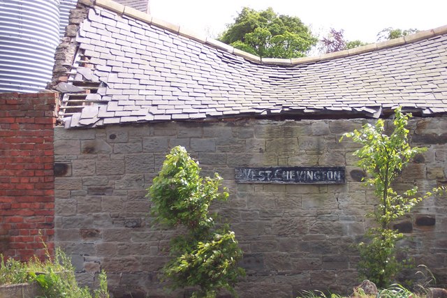
Chevington, West
Settlement in Northumberland
England
Chevington, West
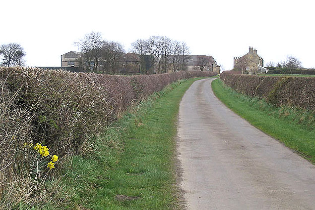
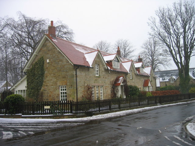
Chevington is a charming village located in the West of Northumberland, England. Situated in the heart of the beautiful Northumberland countryside, this rural settlement offers a peaceful and picturesque setting. With a population of around 600 residents, Chevington exudes a close-knit community feel.
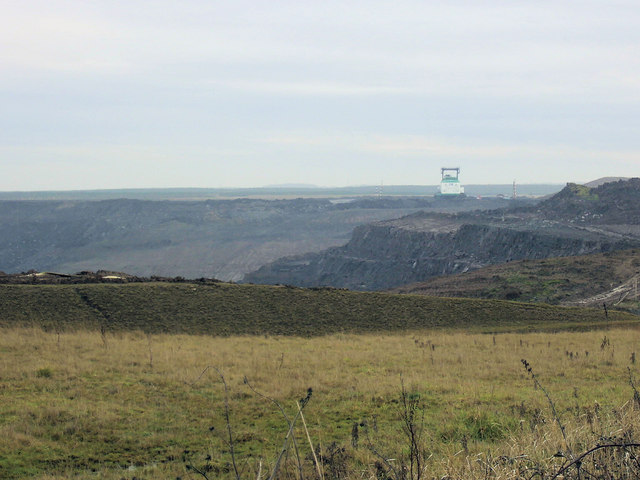
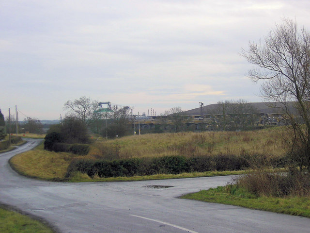
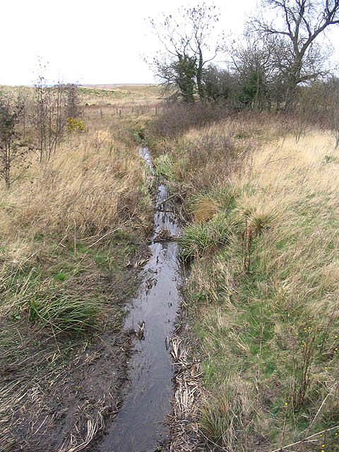
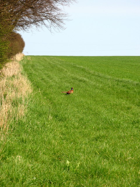
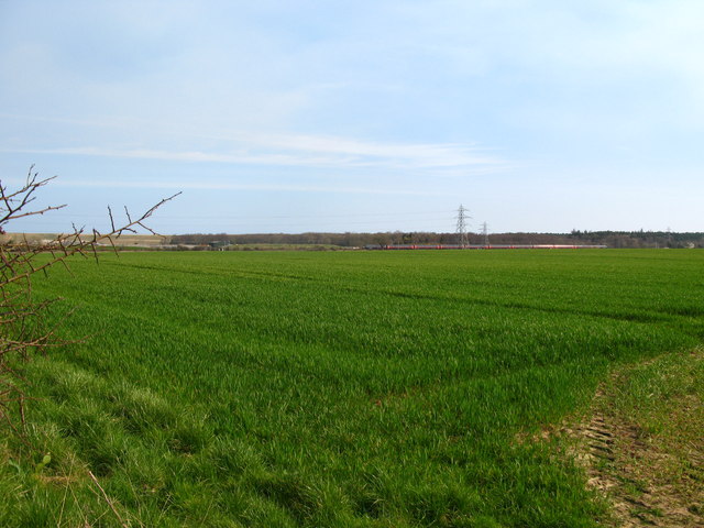
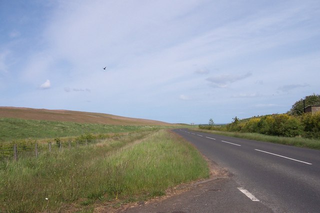
Surrounded by rolling hills and farmland, Chevington boasts stunning natural landscapes. The village is known for its idyllic countryside walks, providing opportunities for residents and visitors to explore the area's scenic beauty. Additionally, Chevington is located near the banks of the River Wansbeck, offering serene waterside views.
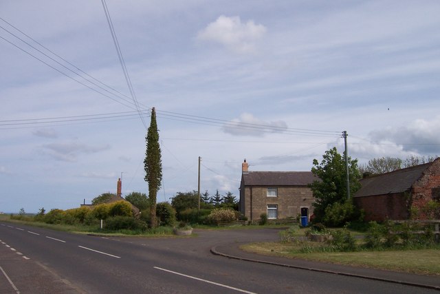
Despite its small size, Chevington offers a range of amenities to cater to the needs of its residents. These include a local primary school, a village hall, and a pub, which serves as a popular gathering spot for locals. The village also benefits from excellent transport links, with easy access to nearby towns and cities such as Morpeth and Newcastle-upon-Tyne.
Chevington's rich history is reflected in its architecture, with several historic buildings still standing. The Church of St. John the Divine, a Grade II listed building, is a prominent feature of the village. Dating back to the 12th century, the church showcases fine Norman craftsmanship and attracts both history enthusiasts and architectural admirers.
Overall, Chevington offers a tranquil and welcoming environment with its stunning natural surroundings, community spirit, and convenient amenities.
If you have any feedback on the listing, please let us know in the comments section below.
Chevington, West Images
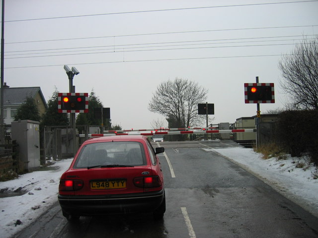
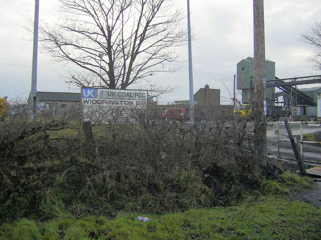
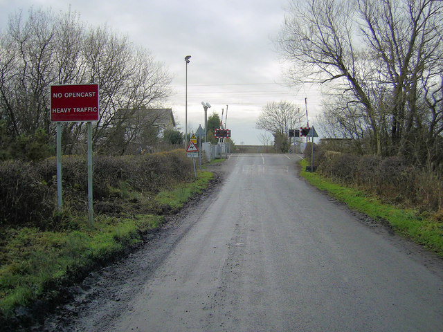
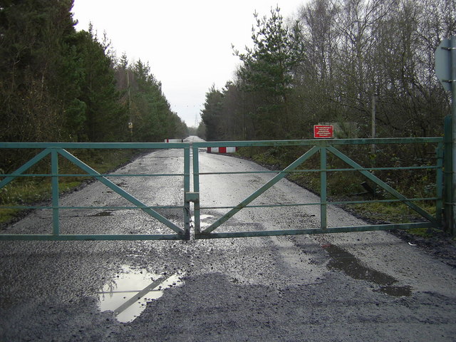
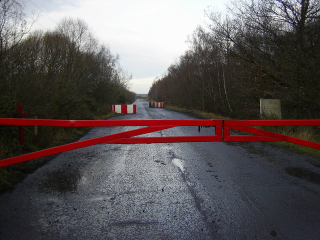
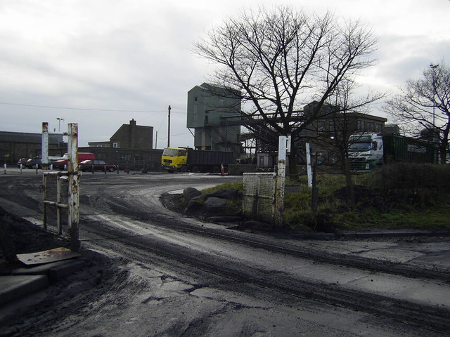
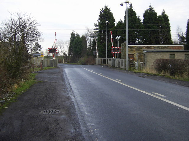
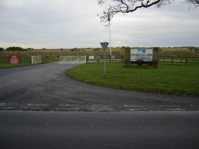
Images are sourced within 2km of 55.269686/-1.6413811 or Grid Reference NZ2297. Thanks to Geograph Open Source API. All images are credited.
Chevington, West is located at Grid Ref: NZ2297 (Lat: 55.269686, Lng: -1.6413811)
Unitary Authority: Northumberland
Police Authority: Northumbria
What 3 Words
///enigma.provoking.mini. Near Acklington, Northumberland
Nearby Locations
Related Wikis
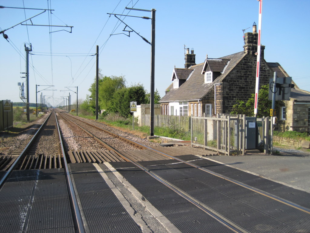
Chevington railway station
Chevington railway station served the village of West Chevington, Northumberland, England from 1847 to 1964 on the East Coast Main Line. == History... ==
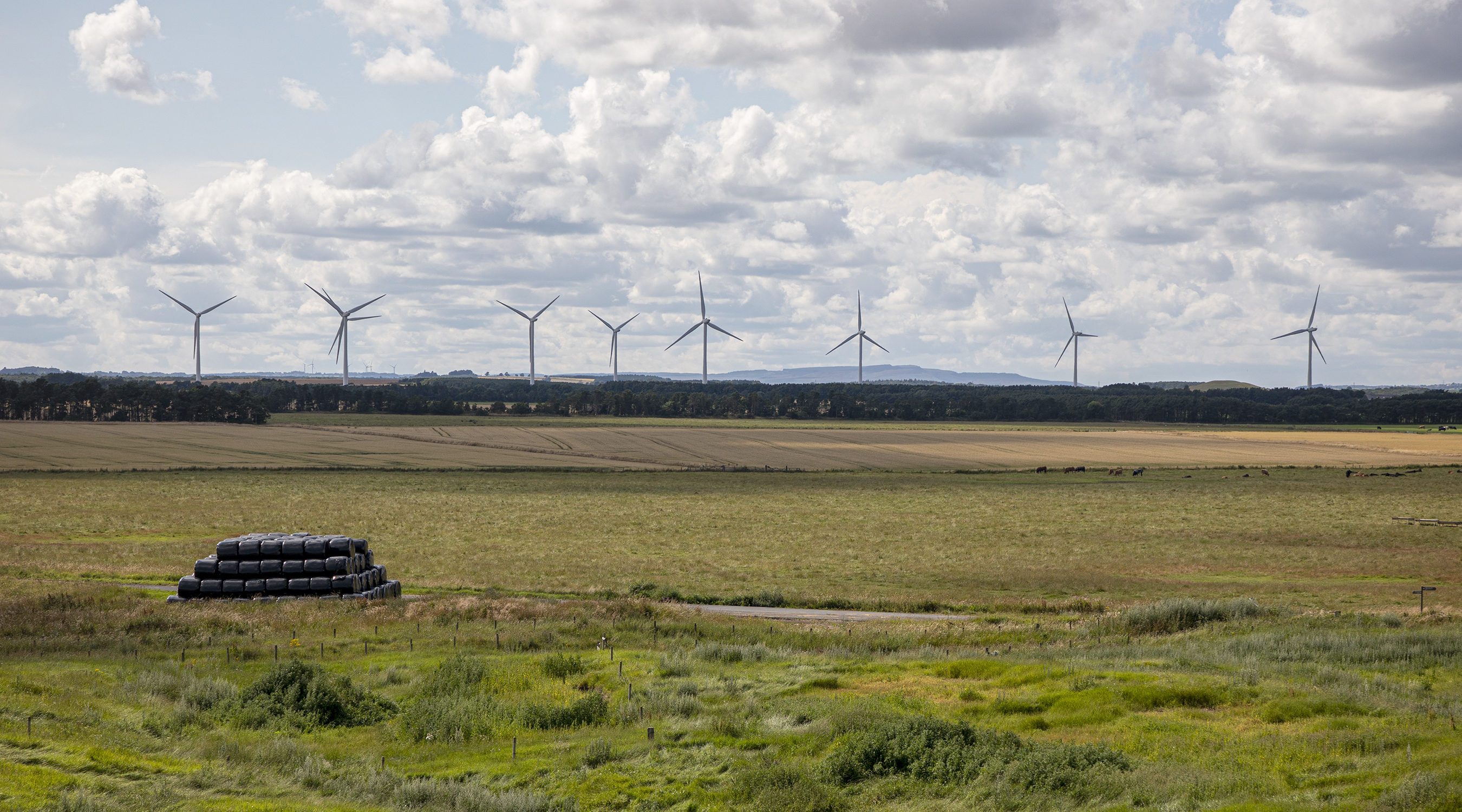
North Steads Wind Farm
North Steads Wind Farm is an onshore electricity generating site west of Widdrington in Northumberland, England. The site was developed on old coal opencast...
Eshott
Eshott is a village and former civil parish, now in the parish of Thirston, in Northumberland, England. In 1951 the parish had a population of 114.It is...

RAF Acklington
Royal Air Force Acklington, simply known as RAF Acklington, is a former Royal Flying Corps and Royal Air Force station located 3.2 miles (5.1 km) south...

HM Prison Acklington
HM Prison Acklington was a Category C men's prison, located near the village of Acklington a few miles from Amble), in Northumberland, England. Acklington...
HM Prison Northumberland
HM Prison Northumberland is a Category C men's prison, located in Morpeth near the village of Acklington in Northumberland, England. Since 2013 Northumberland...

Widdrington Village
Widdrington is a village and (as Widdrington Village) a civil parish in the county of Northumberland, England. It borders Tritlington and West Chevington...
HM Prison Castington
HM Prison Castington was a male juvenile's prison and Young Offenders Institution, located in the village of Acklington in Northumberland, England. The...
Nearby Amenities
Located within 500m of 55.269686,-1.6413811Have you been to Chevington, West?
Leave your review of Chevington, West below (or comments, questions and feedback).