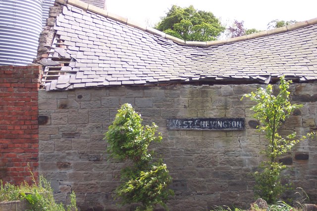
West Chevington
Settlement in Northumberland
England
West Chevington
West Chevington is a small village located in the county of Northumberland, in the northeast of England. It is situated approximately 16 miles north of the historic town of Morpeth and 19 miles northwest of the city of Newcastle upon Tyne. The village is part of the civil parish of Chevington with Longhorsley.
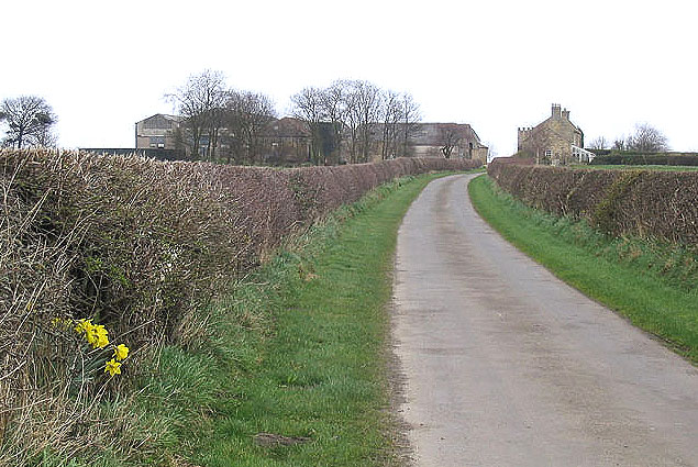
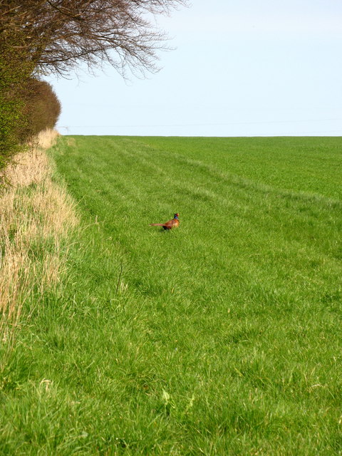
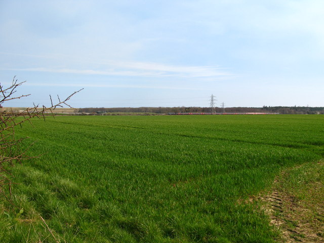
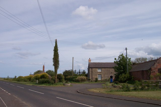
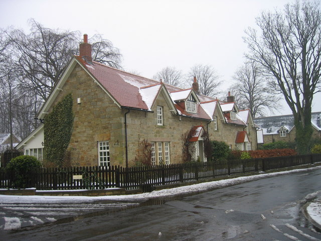
West Chevington is a rural community surrounded by picturesque countryside and rolling hills. The village is primarily residential, with a mix of traditional stone houses and newer developments. It has a close-knit community and a population of around 500 people.
The village benefits from a range of amenities, including a primary school, a community center, and a local pub. There is also a small convenience store that caters to the everyday needs of the residents. For more extensive shopping and recreational activities, residents can easily access nearby towns and cities.
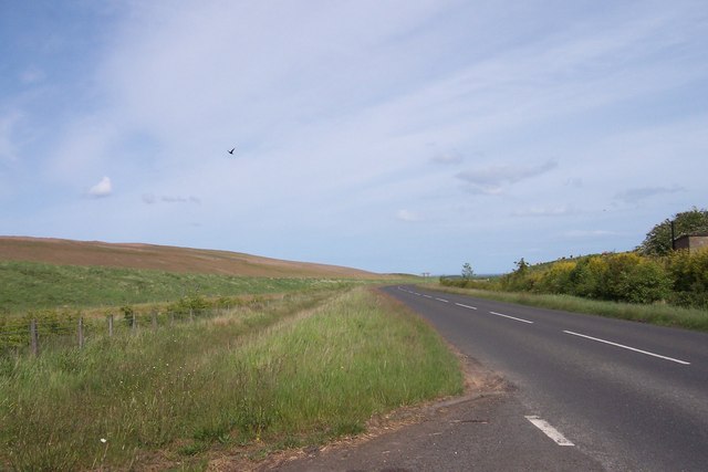
West Chevington is well-connected by road, with the A1 trunk road located just a few miles to the west. This provides convenient access to Newcastle upon Tyne, as well as other major cities in the region. The village is also served by regular bus services, connecting it to neighboring towns and villages.
Surrounded by beautiful natural landscapes, West Chevington offers residents opportunities for outdoor activities, such as walking, hiking, and cycling. The village is located close to the Northumberland National Park, which provides further opportunities for exploring the stunning countryside and historical sites in the region.
In summary, West Chevington is a peaceful rural village with a strong sense of community. Its picturesque location and convenient access to nearby towns and cities make it an attractive place to live for those seeking a quieter lifestyle while still benefiting from modern amenities and access to the wider region.
If you have any feedback on the listing, please let us know in the comments section below.
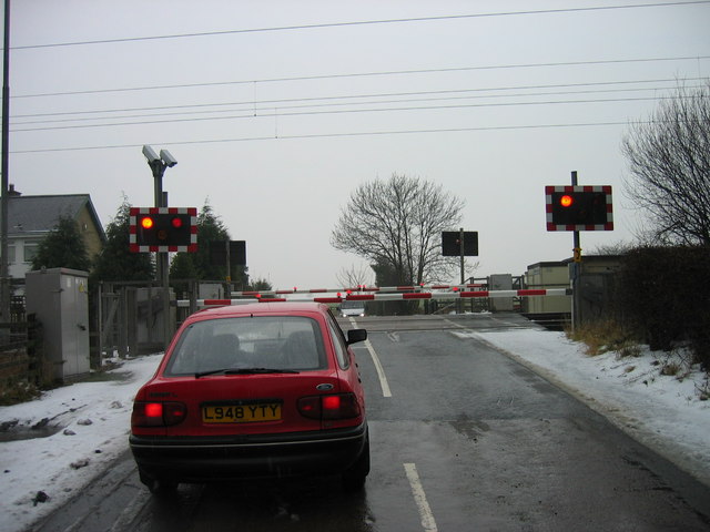
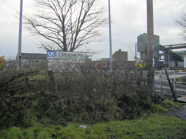
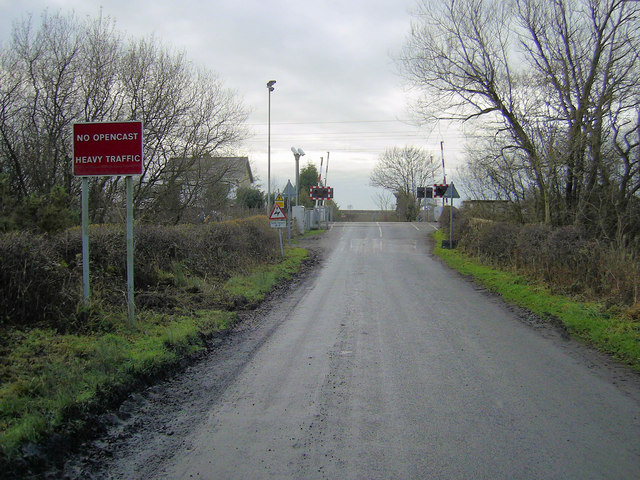
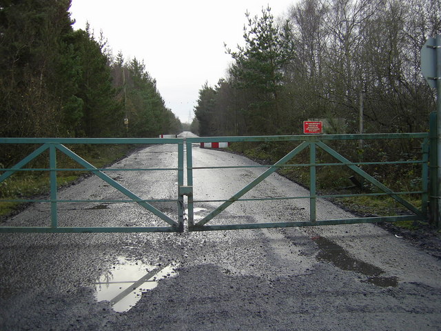
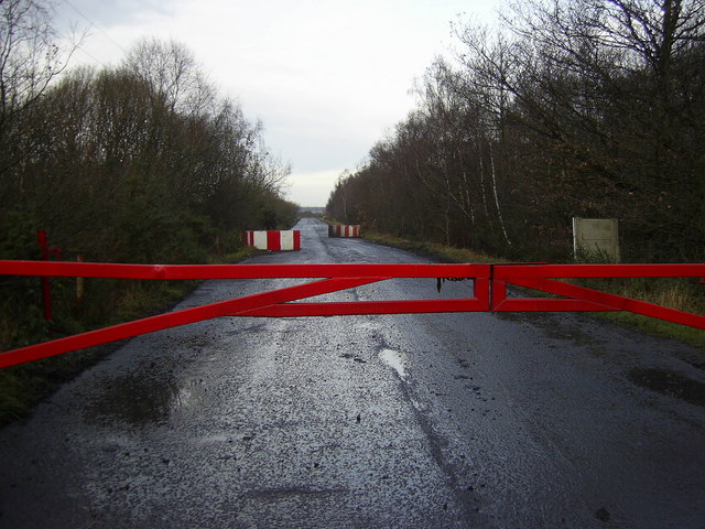
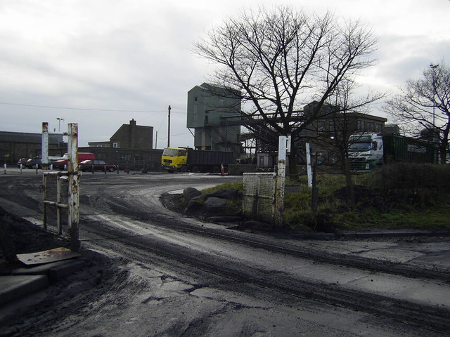
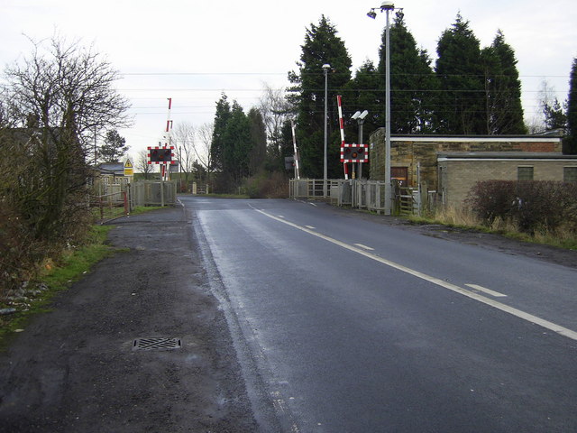
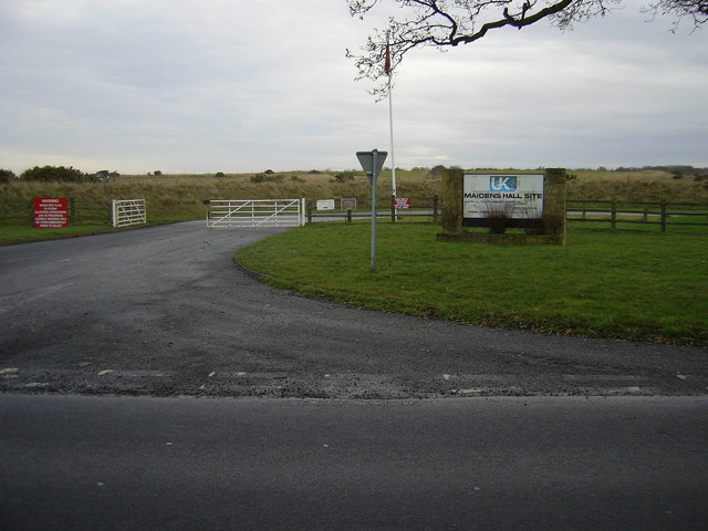
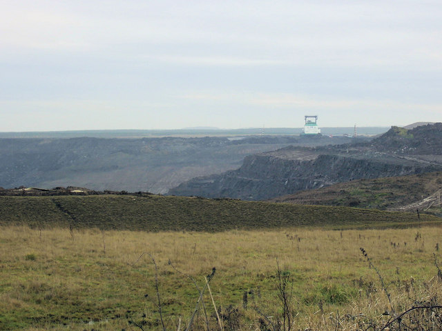
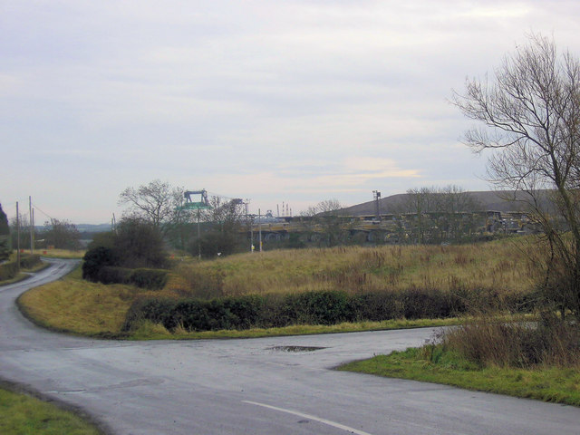
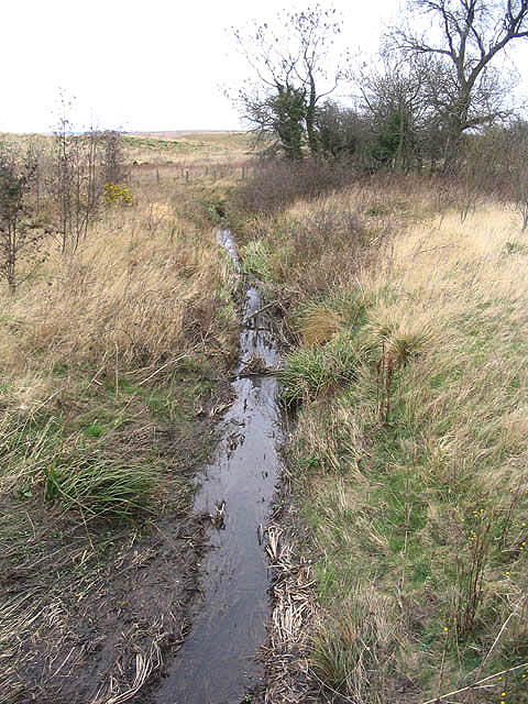
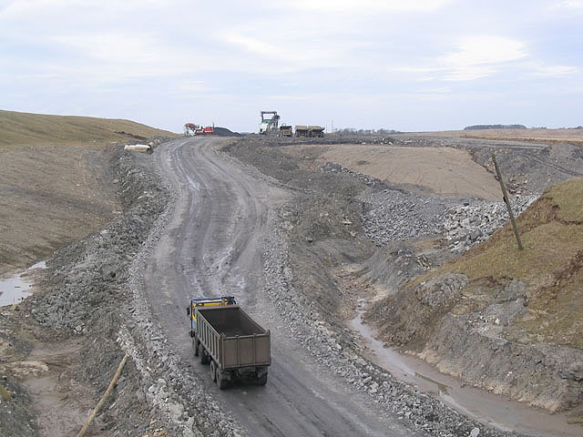
West Chevington Images
Images are sourced within 2km of 55.269686/-1.6413811 or Grid Reference NZ2297. Thanks to Geograph Open Source API. All images are credited.
West Chevington is located at Grid Ref: NZ2297 (Lat: 55.269686, Lng: -1.6413811)
Unitary Authority: Northumberland
Police Authority: Northumbria
What 3 Words
///enigma.provoking.mini. Near Acklington, Northumberland
Nearby Locations
Related Wikis
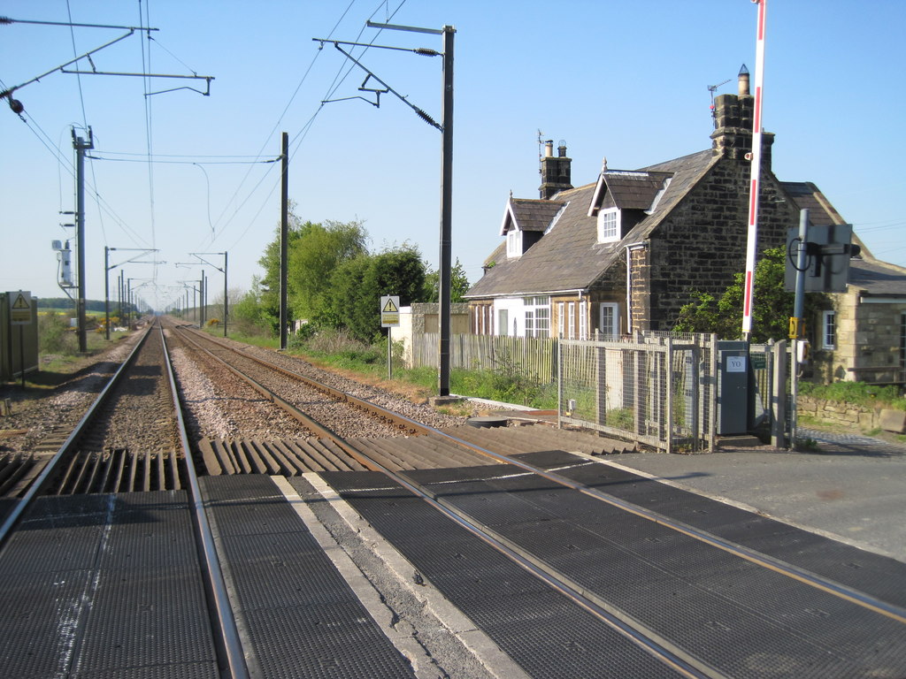
Chevington railway station
Chevington railway station served the village of West Chevington, Northumberland, England from 1847 to 1964 on the East Coast Main Line. == History... ==
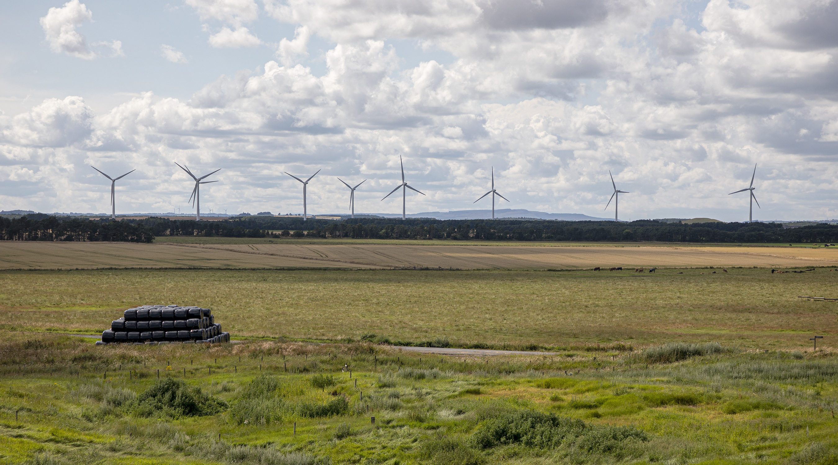
North Steads Wind Farm
North Steads Wind Farm is an onshore electricity generating site west of Widdrington in Northumberland, England. The site was developed on old coal opencast...
Eshott
Eshott is a village and former civil parish, now in the parish of Thirston, in Northumberland, England. In 1951 the parish had a population of 114.It is...

RAF Acklington
Royal Air Force Acklington, simply known as RAF Acklington, is a former Royal Flying Corps and Royal Air Force station located 3.2 miles (5.1 km) south...

HM Prison Acklington
HM Prison Acklington was a Category C men's prison, located near the village of Acklington a few miles from Amble), in Northumberland, England. Acklington...
HM Prison Northumberland
HM Prison Northumberland is a Category C men's prison, located in Morpeth near the village of Acklington in Northumberland, England. Since 2013 Northumberland...

Widdrington Village
Widdrington is a village and (as Widdrington Village) a civil parish in the county of Northumberland, England. It borders Tritlington and West Chevington...
HM Prison Castington
HM Prison Castington was a male juvenile's prison and Young Offenders Institution, located in the village of Acklington in Northumberland, England. The...
Nearby Amenities
Located within 500m of 55.269686,-1.6413811Have you been to West Chevington?
Leave your review of West Chevington below (or comments, questions and feedback).