West Chelborough
Settlement in Dorset
England
West Chelborough
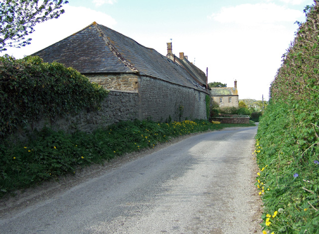
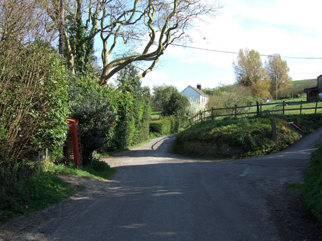
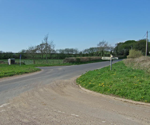
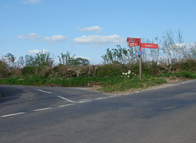
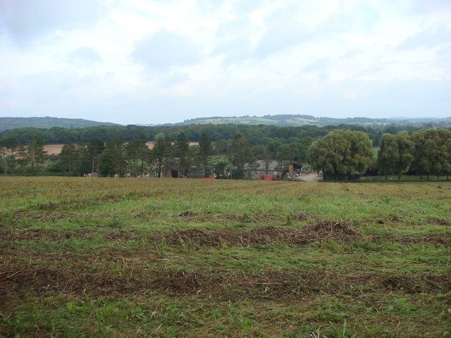
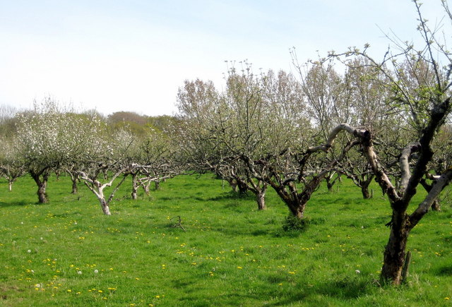
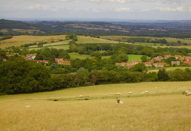
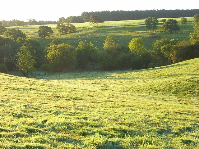
West Chelborough is a small village located in the county of Dorset, England. Situated in the West Dorset district, it lies approximately 11 miles northwest of the county town of Dorchester. The village is nestled amidst the picturesque rolling hills of the Dorset Downs, providing residents and visitors with stunning views of the surrounding countryside.
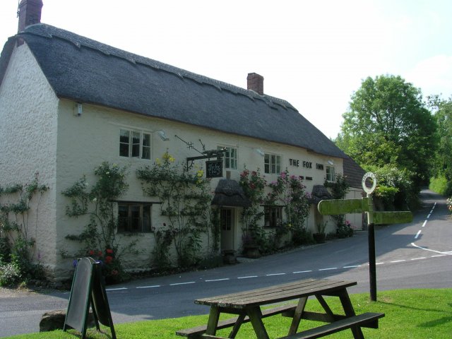
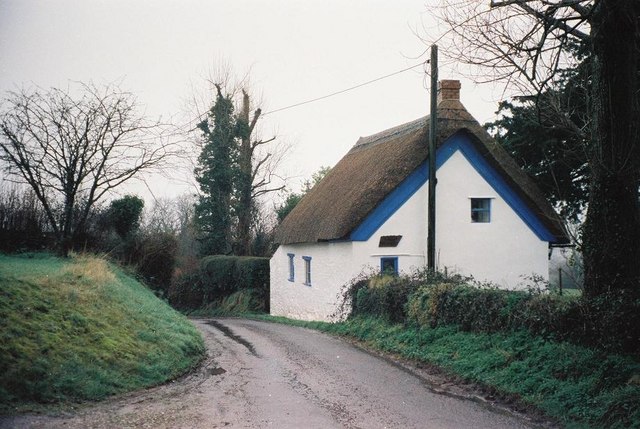
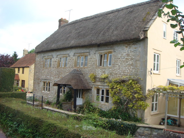
Historically, West Chelborough dates back to at least the 13th century when it was mentioned in documents as "Chelbroc." The village is characterized by its charming thatched cottages and traditional architecture, creating a sense of timeless beauty. It has maintained a relatively small population over the years, contributing to its peaceful and tranquil atmosphere.
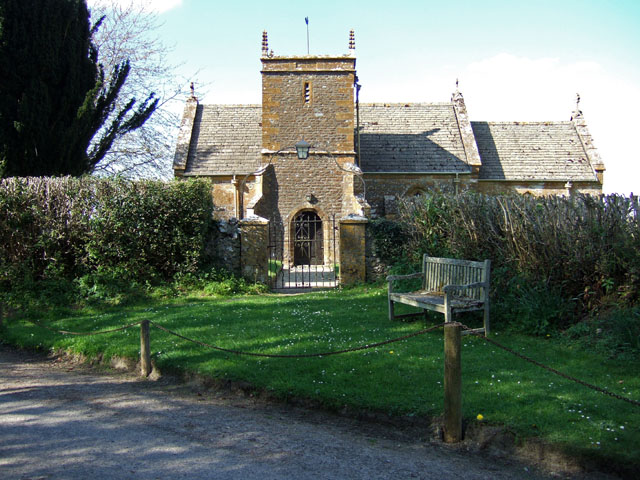
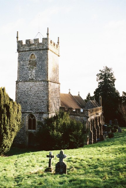
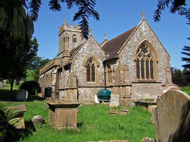
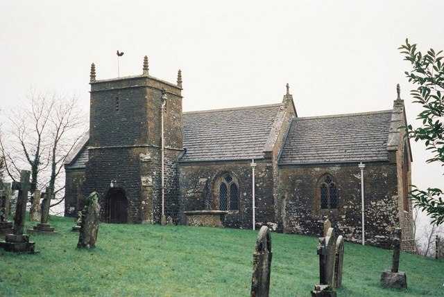
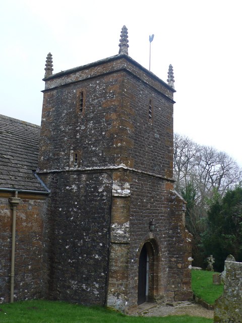
Despite its size, West Chelborough boasts a strong sense of community spirit. The village has a local church, St. Mary's, which serves as a focal point for religious and social gatherings. There are also various community events held throughout the year, such as fairs and festivals, which bring residents together.
The surrounding countryside offers ample opportunities for outdoor activities and exploration. There are numerous walking and cycling routes that allow visitors to immerse themselves in the natural beauty of the area. Additionally, the village is located near several notable landmarks and attractions, including the Cerne Abbas Giant and the historic town of Sherborne.
In summary, West Chelborough is a charming and idyllic village in Dorset, England. With its quaint architecture, strong community spirit, and stunning natural surroundings, it offers a peaceful and picturesque retreat for residents and visitors alike.
If you have any feedback on the listing, please let us know in the comments section below.
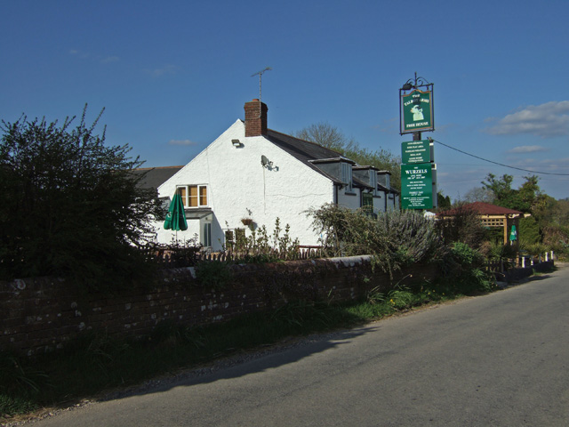
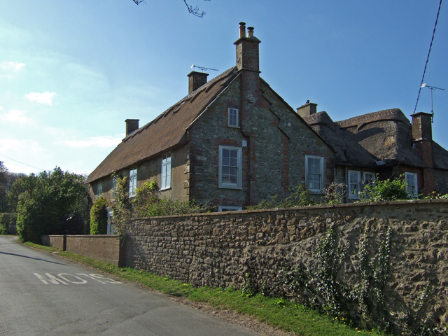
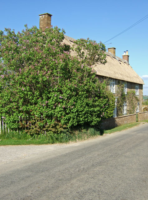
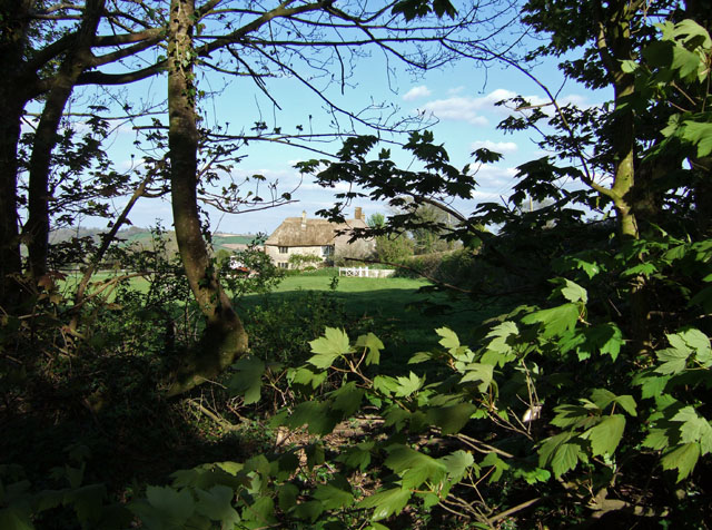
West Chelborough Images
Images are sourced within 2km of 50.843271/-2.6527909 or Grid Reference ST5405. Thanks to Geograph Open Source API. All images are credited.
West Chelborough is located at Grid Ref: ST5405 (Lat: 50.843271, Lng: -2.6527909)
Unitary Authority: Dorset
Police Authority: Dorset
What 3 Words
///escapades.spin.nothing. Near Beaminster, Dorset
Nearby Locations
Related Wikis
West Chelborough
West Chelborough is a village and civil parish 13 miles (21 km) northwest of Dorchester, in the Dorset district, in the county of Dorset, England. In 2001...

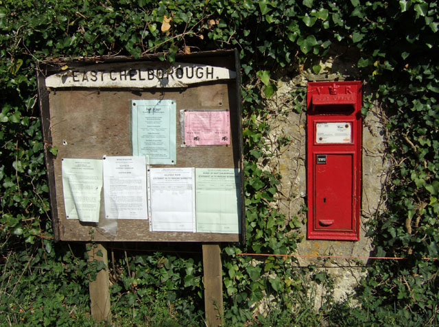
East Chelborough
East Chelborough is a small village and civil parish 7 miles (11 km) north-east of Beaminster in Dorset, England. Dorset County Council estimated in 2013...
Adam's Green
Adam's Green is a hamlet near the village of Halstock in Dorset, England. == External links == Media related to Adam's Green at Wikimedia Commons
Corscombe
Corscombe is a village and civil parish in the English county of Dorset, in the Dorset Council administrative area. The parish includes the small settlements...

West Hill, Dorset
West Hill is a prominent hill, 224 metres (735 ft) high, just to the west of the village of Evershot in the county of Dorset in southern England. Its prominence...
Aunt Mary's Bottom
Aunt Mary's Bottom (grid reference ST546023) is an 8.62 hectare biological Site of Special Scientific Interest in Dorset, England notified in 1991. �...

Halstock
Halstock is a village and civil parish in the county of Dorset in southern England, situated approximately five miles (8.0 km) south of Yeovil in Somerset...

Pugin Hall
Pugin Hall is a private house, designed as a rectory by Augustus Pugin and built in 1846–1847 in Rampisham, Dorset, England. The house is a Grade I listed...
Nearby Amenities
Located within 500m of 50.843271,-2.6527909Have you been to West Chelborough?
Leave your review of West Chelborough below (or comments, questions and feedback).