Cole Copse
Wood, Forest in Dorset
England
Cole Copse
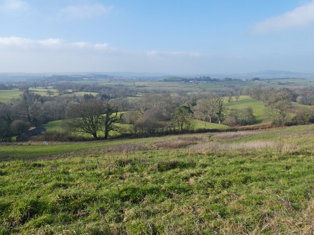
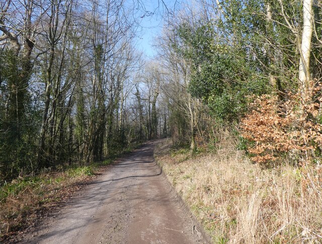
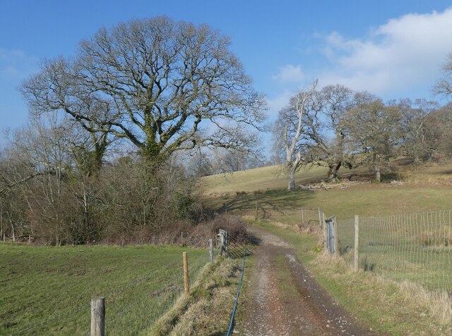
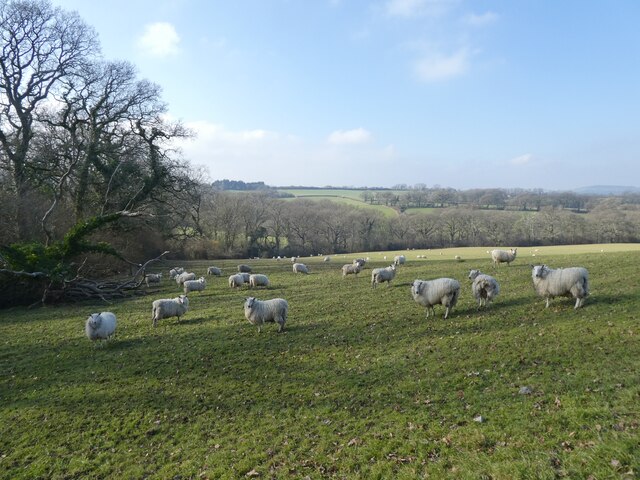
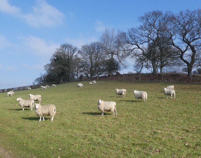
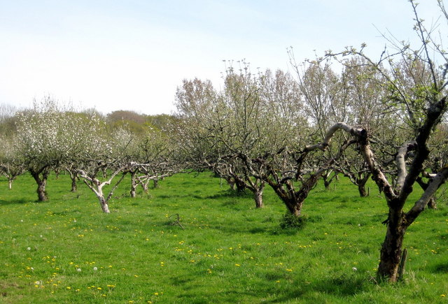
Cole Copse is a picturesque wood located in the county of Dorset, England. Situated in the heart of the countryside, it covers an area of approximately 50 acres and is renowned for its natural beauty and tranquility. The copse is predominantly composed of deciduous trees, including oak, beech, and ash, which create a dense and vibrant canopy during the summer months.
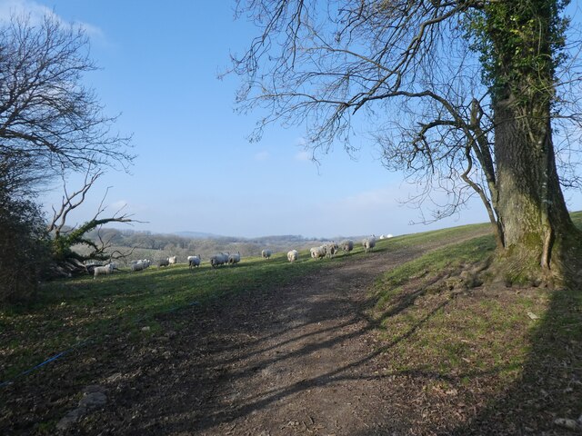
This woodland is a haven for wildlife, with a diverse range of species calling it home. Visitors can often spot squirrels darting between the trees, while birdwatchers can enjoy the sight of woodpeckers, jays, and various songbirds. The forest floor is carpeted with bluebells in the spring, creating a stunning display of color and fragrance.
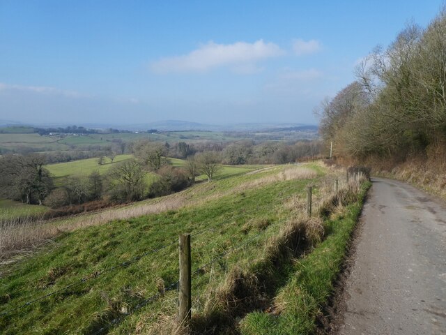
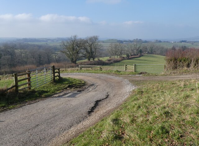
Cole Copse is a popular destination for nature lovers and outdoor enthusiasts. It offers a network of well-maintained footpaths, allowing visitors to explore its beauty at their leisure. There are also designated picnic areas, providing a perfect spot to relax and enjoy the peaceful surroundings.
The copse is easily accessible, with a car park located nearby, and it is open to the public throughout the year. There are no entry fees, making it an affordable and enjoyable day out for families and individuals alike. However, it is important to note that there are no facilities on-site, so visitors are advised to bring their own food and drinks.
In conclusion, Cole Copse is a stunning woodland in Dorset, offering a serene escape from the hustle and bustle of everyday life. With its rich biodiversity and well-maintained paths, it provides an ideal setting for leisurely walks, picnics, and wildlife observation.
If you have any feedback on the listing, please let us know in the comments section below.
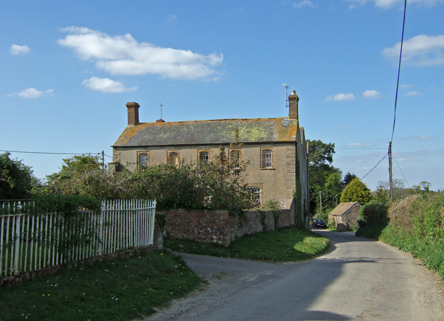
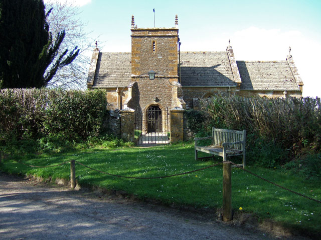
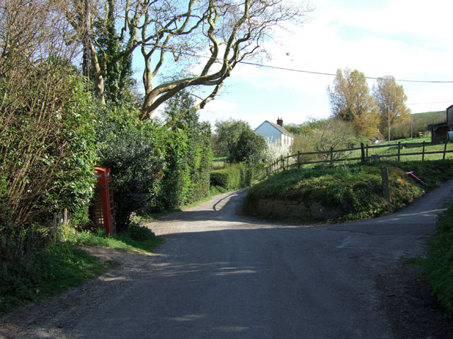
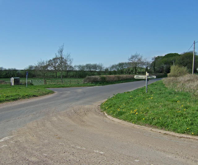
Cole Copse Images
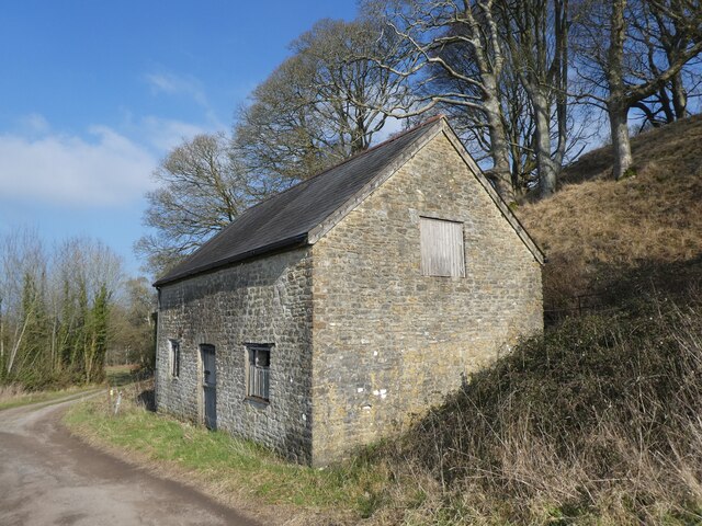
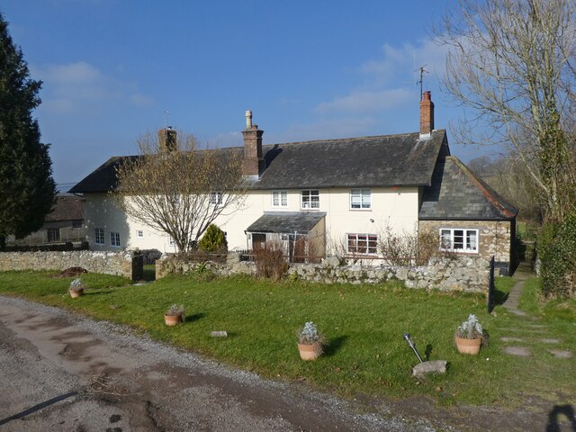
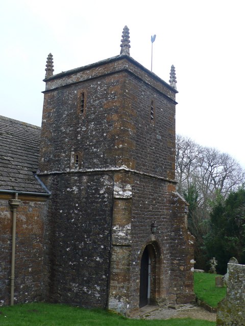
Images are sourced within 2km of 50.845985/-2.64344 or Grid Reference ST5405. Thanks to Geograph Open Source API. All images are credited.

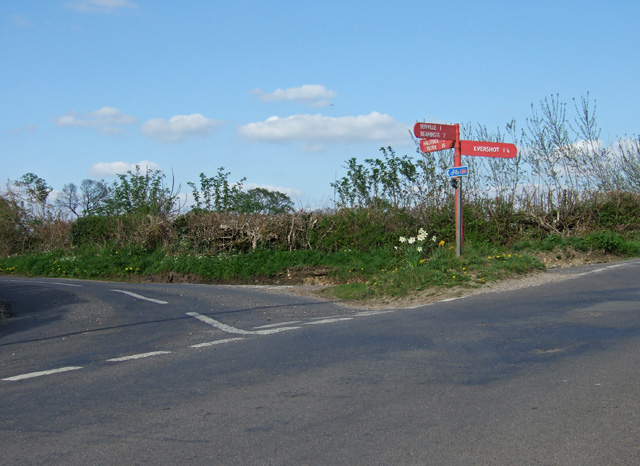
Cole Copse is located at Grid Ref: ST5405 (Lat: 50.845985, Lng: -2.64344)
Unitary Authority: Dorset
Police Authority: Dorset
What 3 Words
///supported.thudded.annual. Near Yetminster, Dorset
Nearby Locations
Related Wikis
West Chelborough
West Chelborough is a village and civil parish 13 miles (21 km) northwest of Dorchester, in the Dorset district, in the county of Dorset, England. In 2001...

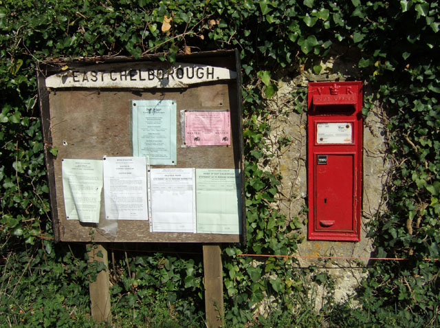
East Chelborough
East Chelborough is a small village and civil parish 7 miles (11 km) north-east of Beaminster in Dorset, England. Dorset County Council estimated in 2013...
Adam's Green
Adam's Green is a hamlet near the village of Halstock in Dorset, England. == External links == Media related to Adam's Green at Wikimedia Commons

West Hill, Dorset
West Hill is a prominent hill, 224 metres (735 ft) high, just to the west of the village of Evershot in the county of Dorset in southern England. Its prominence...
Nearby Amenities
Located within 500m of 50.845985,-2.64344Have you been to Cole Copse?
Leave your review of Cole Copse below (or comments, questions and feedback).