West Buckland
Settlement in Somerset Somerset West and Taunton
England
West Buckland
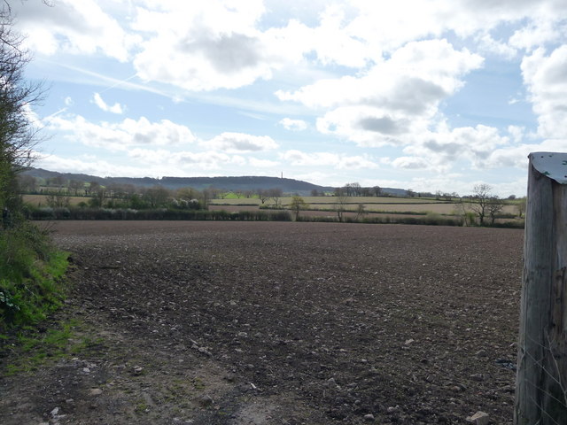
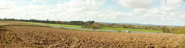
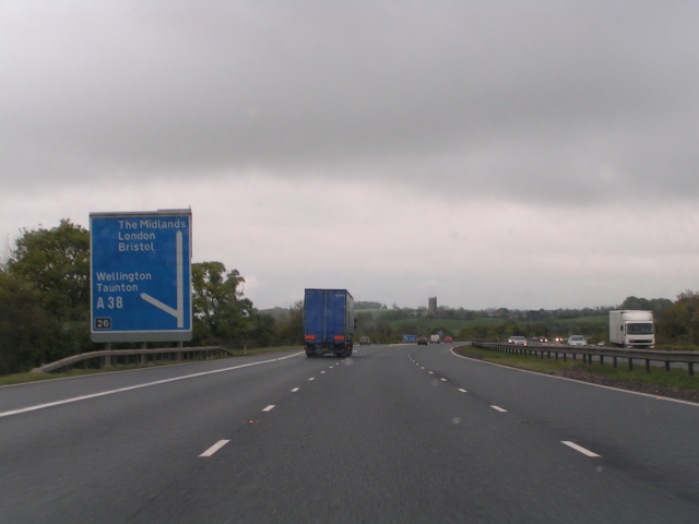
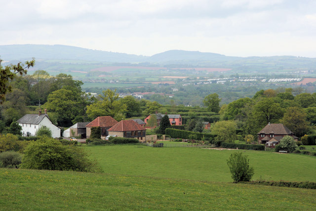
West Buckland is a charming village located in the county of Somerset, in the southwest of England. Situated approximately six miles northeast of the county town of Taunton, it is nestled in the beautiful countryside of the Blackdown Hills Area of Outstanding Natural Beauty.
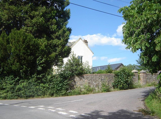
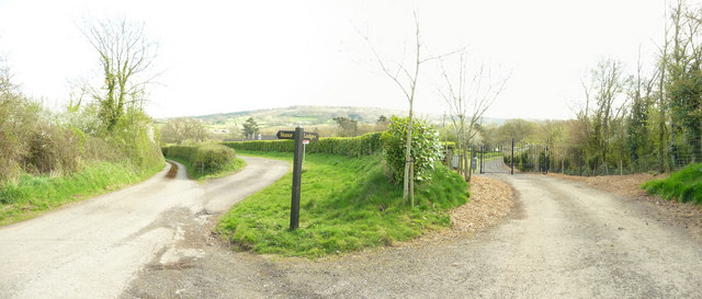
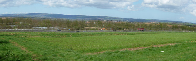
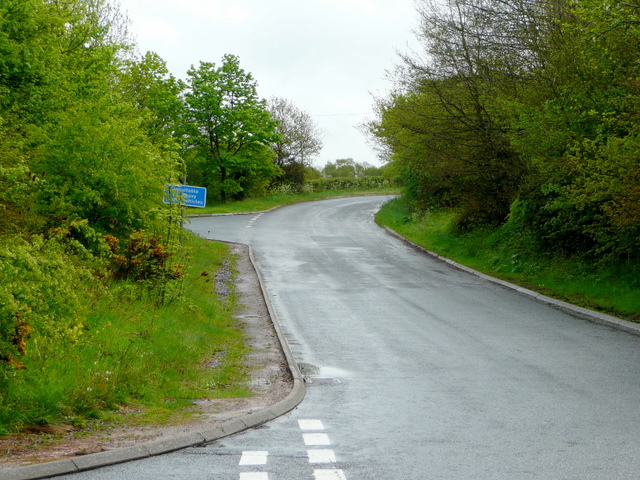
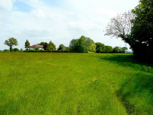
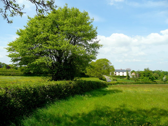
With a population of around 500 residents, West Buckland has a close-knit and friendly community. The village boasts a picturesque setting, surrounded by rolling hills, lush green fields, and quaint country lanes. The local landscape is dotted with traditional stone cottages, offering a glimpse into the area's rich history.
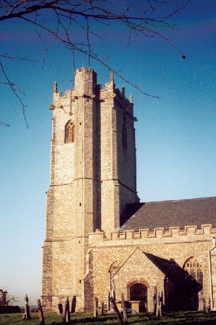
The village is home to the Grade I listed St. Mary's Church, a historic landmark dating back to the 12th century. The church features a striking tower and beautiful stained glass windows, making it a must-visit for history enthusiasts and architectural admirers.
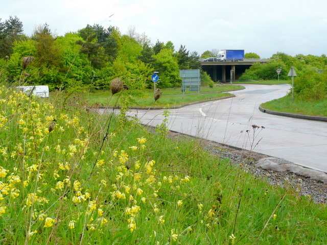
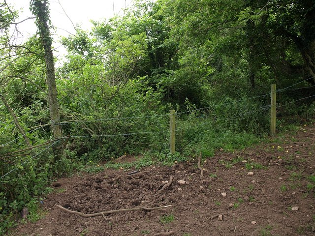
For outdoor enthusiasts, West Buckland offers ample opportunities for exploration and recreation. The nearby Blackdown Hills provide a stunning backdrop for hiking, cycling, and horseback riding. The village is also within close proximity to the popular Quantock Hills and Exmoor National Park, offering even more options for outdoor adventures.
In terms of amenities, West Buckland has a village hall that hosts various community events throughout the year. The nearby town of Taunton provides residents with a wider range of facilities, including shops, schools, and healthcare services.
Overall, West Buckland offers a tranquil and idyllic setting for those seeking a peaceful countryside retreat, while still providing easy access to nearby towns and natural wonders.
If you have any feedback on the listing, please let us know in the comments section below.
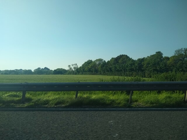
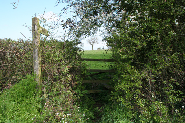
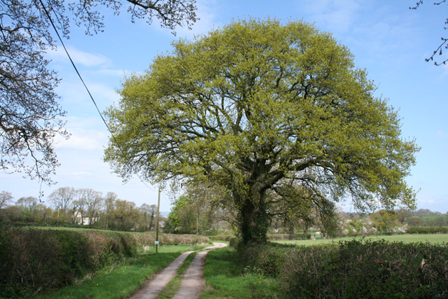
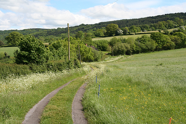
West Buckland Images
Images are sourced within 2km of 50.977793/-3.1769596 or Grid Reference ST1720. Thanks to Geograph Open Source API. All images are credited.

West Buckland is located at Grid Ref: ST1720 (Lat: 50.977793, Lng: -3.1769596)
Administrative County: Somerset
District: Somerset West and Taunton
Police Authority: Avon and Somerset
What 3 Words
///tripods.clocking.mixture. Near Taunton, Somerset
Nearby Locations
Related Wikis
West Buckland
West Buckland is a village and civil parish in Somerset, England, situated 5 miles (8.0 km) south west of Taunton. The parish has a population of 1,189...
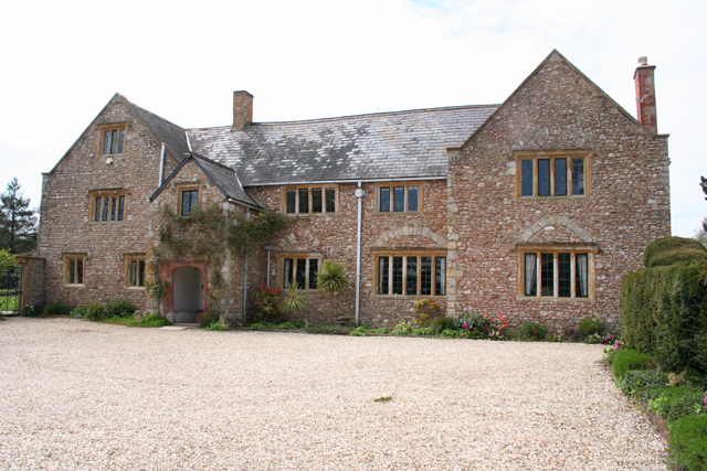
Gerbestone Manor
Gerbestone Manor in West Buckland, Somerset, England was largely rebuilt in the late 16th century, although some fabric from the 13th century house remains...
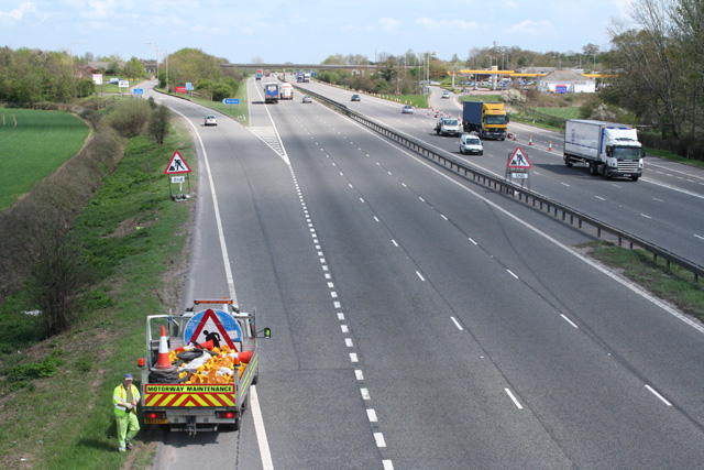
Taunton Deane services
Taunton Deane services is a double sided motorway service station on the M5 motorway near Taunton, England. It is owned by Roadchef. == Location == The...

Bradford-on-Tone
Bradford-on-Tone is a village and civil parish in Wellington, Somerset, England, situated on the River Tone 4 miles (6.4 km) south west of Taunton. The...
Nearby Amenities
Located within 500m of 50.977793,-3.1769596Have you been to West Buckland?
Leave your review of West Buckland below (or comments, questions and feedback).