Buckland, West
Settlement in Somerset Somerset West and Taunton
England
Buckland, West
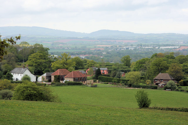
Buckland, West is a small village located in the county of Somerset, England. Situated within the district of Mendip, it is nestled in the picturesque countryside, surrounded by rolling hills and charming rural landscapes. The village is part of the civil parish of Buckland St Mary.
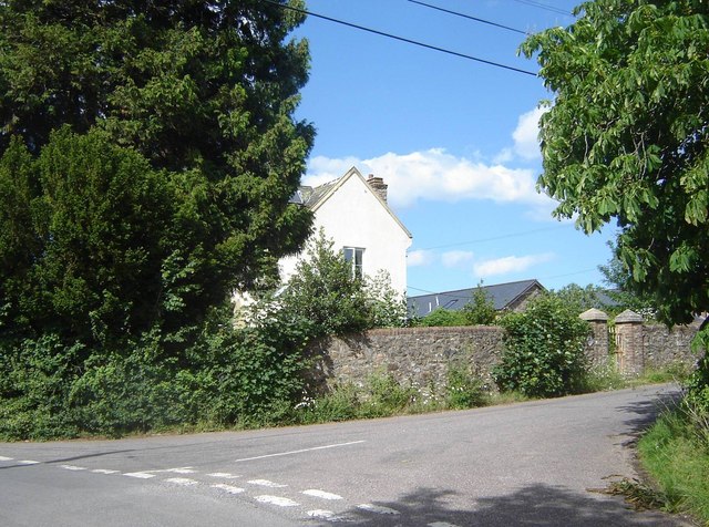
With a population of around 400 residents, Buckland, West exudes a tranquil and tight-knit community atmosphere. The village is primarily residential, consisting of a mix of traditional stone cottages and more modern houses. The architectural style is characteristic of the Somerset region, with many buildings constructed from local limestone.
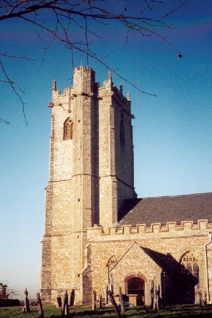
The village is home to a charming 12th-century church, St Mary's, which stands as a testament to its long history. The church features an impressive tower and a beautifully preserved interior, attracting visitors interested in exploring the village's heritage.
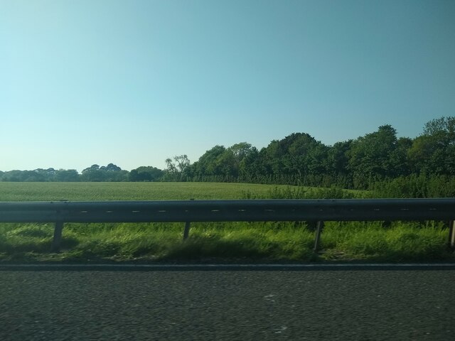
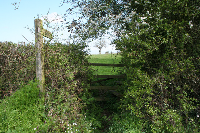
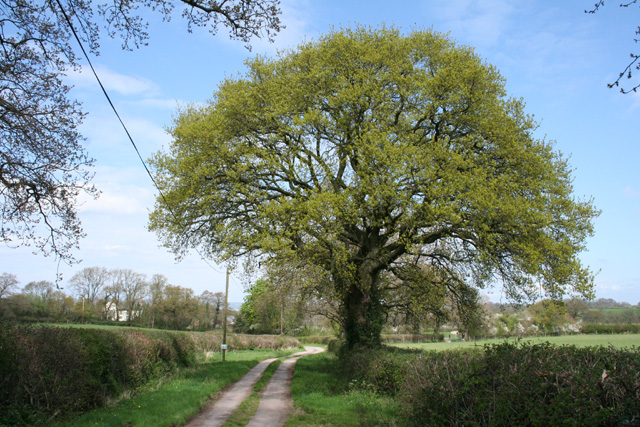
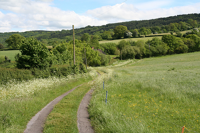
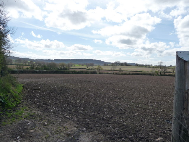
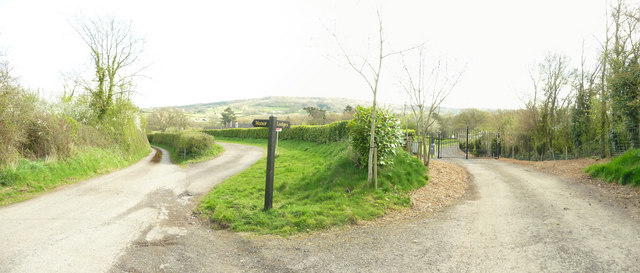
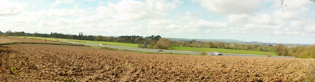
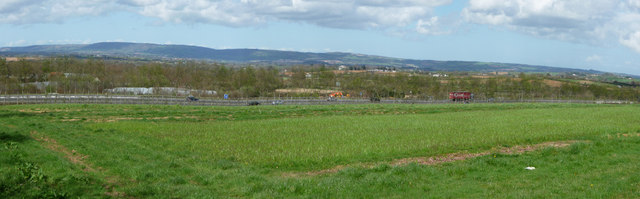
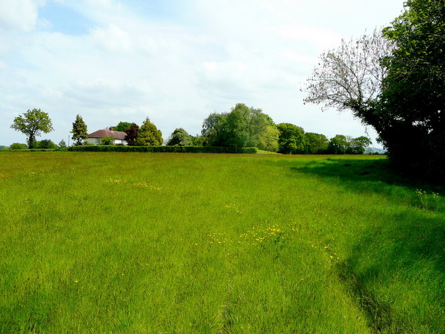
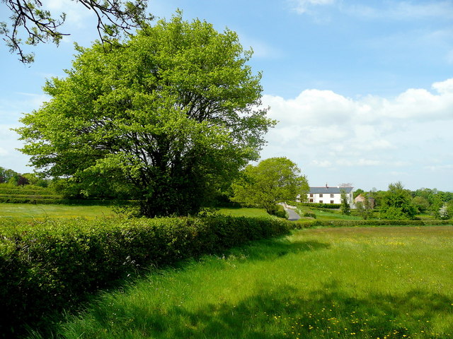
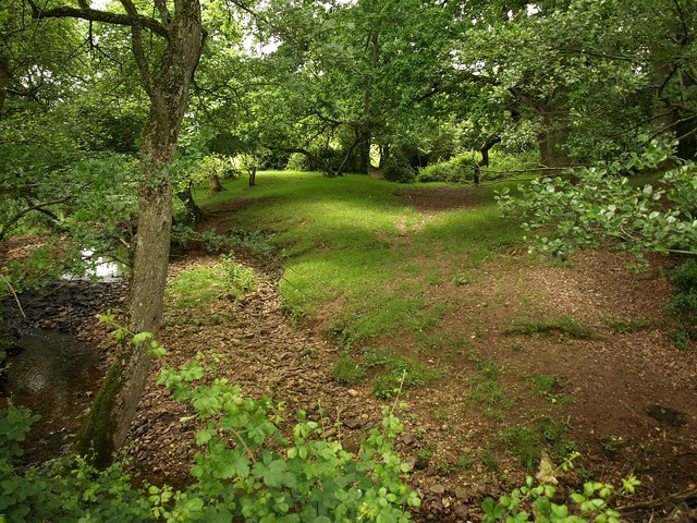
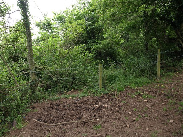
Surrounding the village, the landscape is predominantly agricultural, with farmland and fields stretching as far as the eye can see. The countryside offers ample opportunities for outdoor activities, such as walking, cycling, and horse riding, with several public footpaths and bridleways in the vicinity.
Despite its rural setting, Buckland, West benefits from its proximity to larger towns. The market town of Chard is just a short drive away, offering a range of amenities including shops, schools, and leisure facilities.
Overall, Buckland, West is a quintessential English village, offering a peaceful and idyllic lifestyle amidst the natural beauty of the Somerset countryside.
If you have any feedback on the listing, please let us know in the comments section below.
Buckland, West Images
Images are sourced within 2km of 50.977793/-3.1769596 or Grid Reference ST1720. Thanks to Geograph Open Source API. All images are credited.

Buckland, West is located at Grid Ref: ST1720 (Lat: 50.977793, Lng: -3.1769596)
Administrative County: Somerset
District: Somerset West and Taunton
Police Authority: Avon and Somerset
What 3 Words
///tripods.clocking.mixture. Near Taunton, Somerset
Nearby Locations
Related Wikis
West Buckland
West Buckland is a village and civil parish in Somerset, England, situated 5 miles (8.0 km) south west of Taunton. The parish has a population of 1,189...
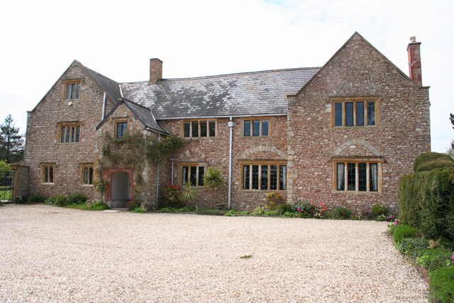
Gerbestone Manor
Gerbestone Manor in West Buckland, Somerset, England was largely rebuilt in the late 16th century, although some fabric from the 13th century house remains...
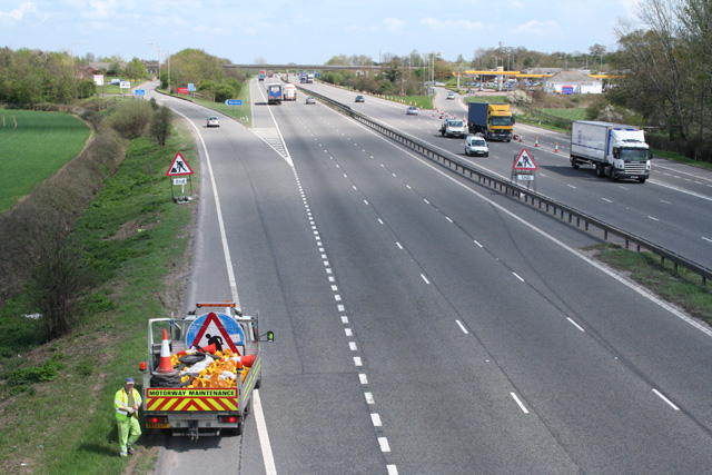
Taunton Deane services
Taunton Deane services is a double sided motorway service station on the M5 motorway near Taunton, England. It is owned by Roadchef. == Location == The...

Bradford-on-Tone
Bradford-on-Tone is a village and civil parish in Wellington, Somerset, England, situated on the River Tone 4 miles (6.4 km) south west of Taunton. The...

Taunton Deane (UK Parliament constituency)
Taunton Deane is a constituency in Somerset represented in the House of Commons of the UK Parliament by Rebecca Pow of the Conservative Party since 2015...
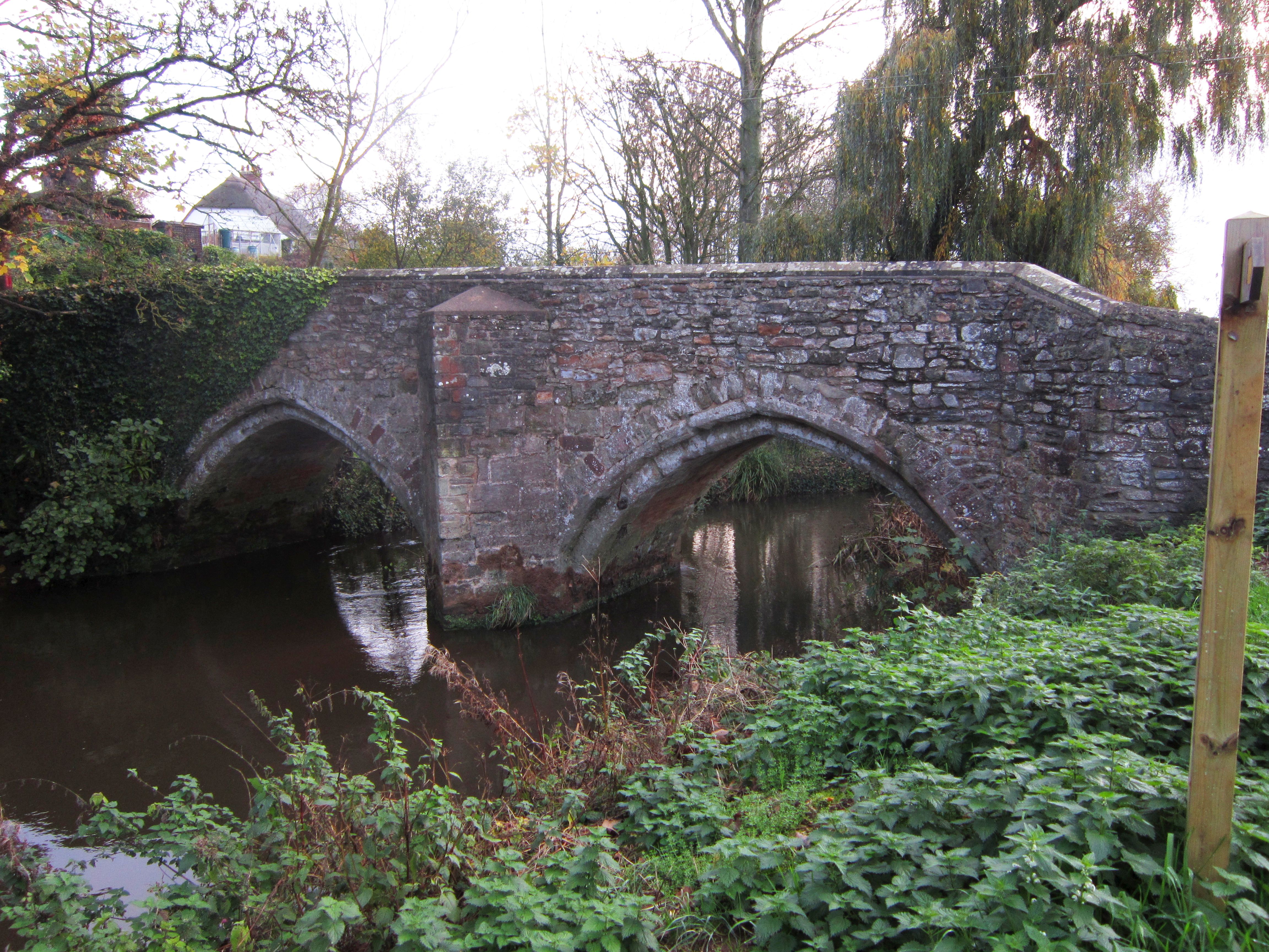
Bradford Bridge
Bradford Bridge in Bradford on Tone in the English county of Somerset carries a road over the River Tone. It was built at some point between the 13th and...

Church of St Michael, Angersleigh
The Anglican Church of St Michael in Angersleigh, Somerset, England was built in the 14th century. It is a Grade II* listed building. == History == The...
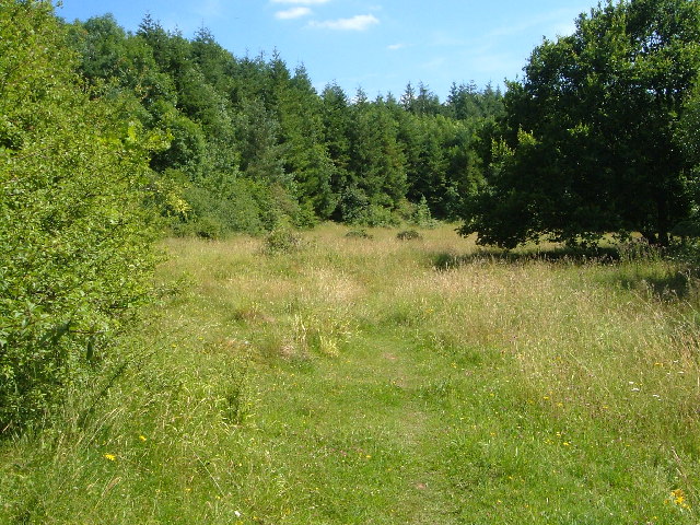
Quants Reserve
Quants Reserve is a nature reserve north west of Burnworthy in Somerset, England. It consists of a grassland clearing in a forestry plantation. It is well...
Nearby Amenities
Located within 500m of 50.977793,-3.1769596Have you been to Buckland, West?
Leave your review of Buckland, West below (or comments, questions and feedback).