Boldon, West

Settlement in Durham

England

Boldon, West

Saturday Afternoon above the A19 The A19 is one of the busiest roads in England and stretches from Doncaster, through Teesside and under the River Tyne to the A1 near Cramlington in Northumberland. Here is the stretch of road looking north, just south of the junction for Washington and West Boldon.
Saturday Afternoon above the A19 Credit: Steve McShane

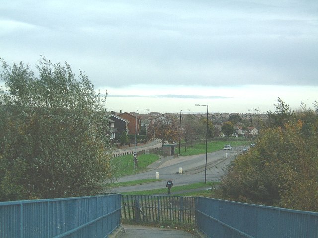
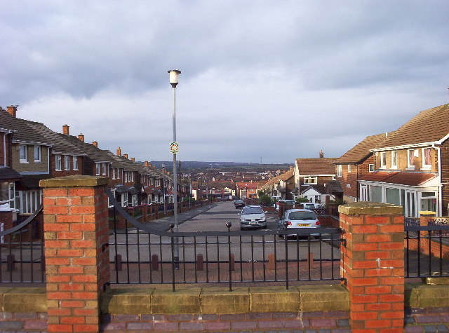
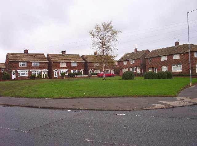
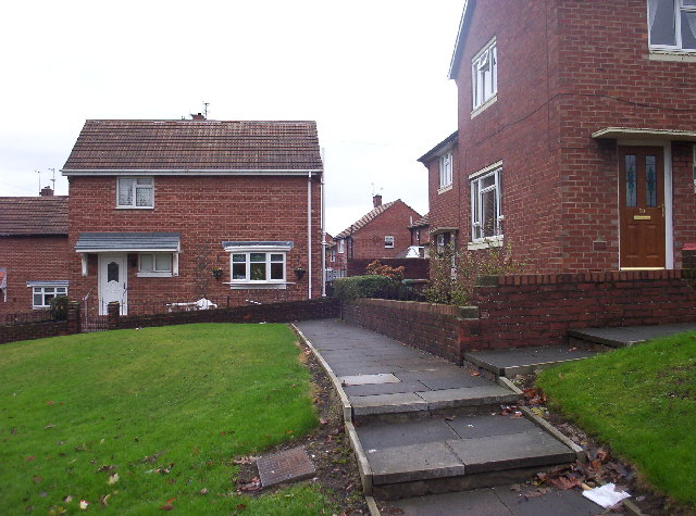
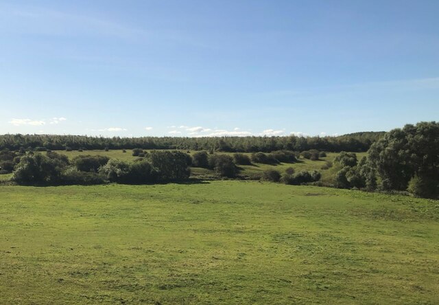
Boldon is a small village located in the West of Durham, England. With a population of just over 1,500 residents, it is a close-knit community that offers a peaceful and picturesque setting. The village is situated within the metropolitan borough of South Tyneside, approximately five miles south-east of Newcastle upon Tyne.

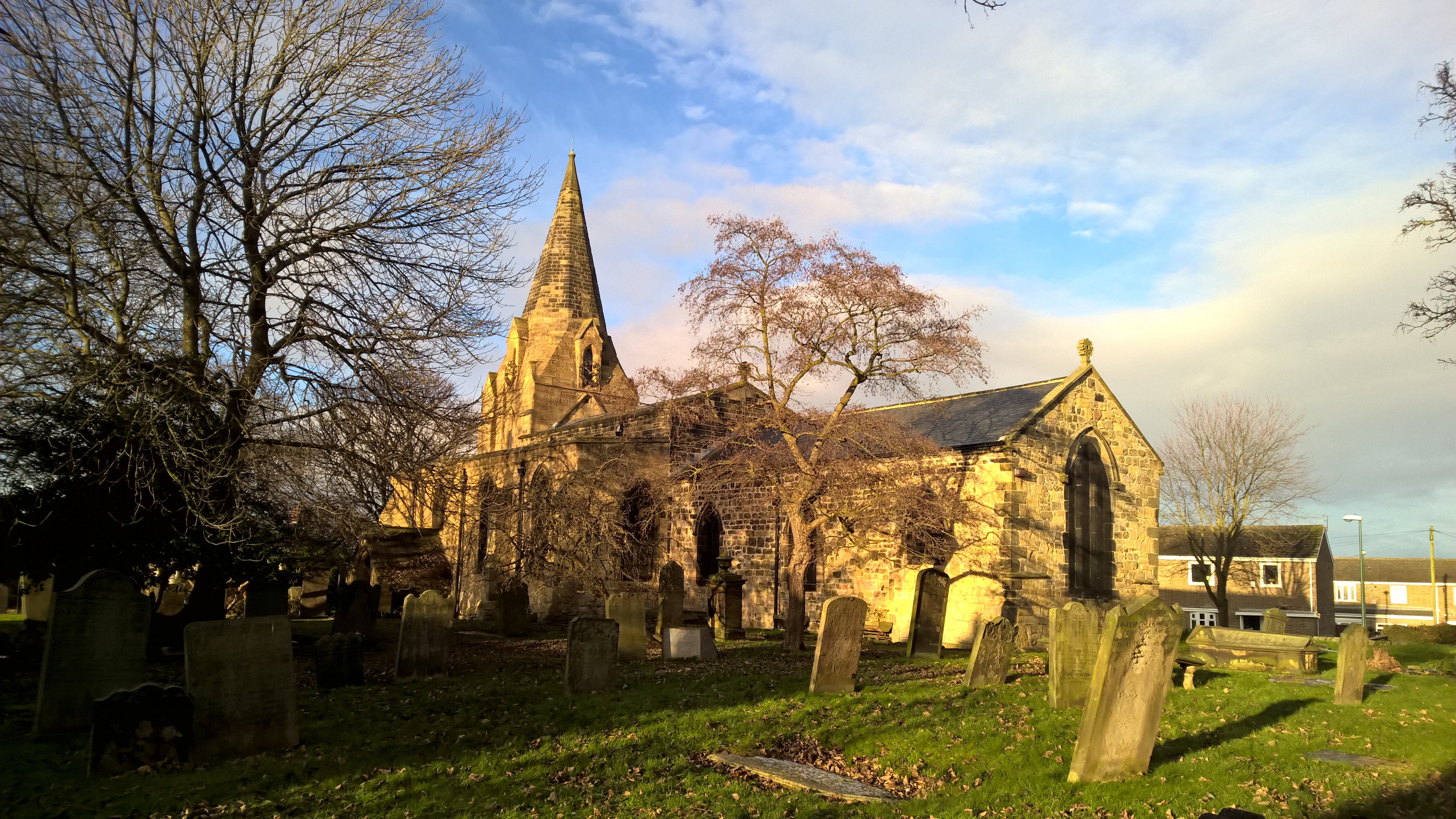
Boldon has a rich history, with evidence of settlement dating back to Roman times. The village is famed for its connection to the medieval Boldon Book, a survey that recorded land ownership and taxation in the region. Today, remnants of this historical significance can still be seen in the form of ancient buildings and landmarks, such as the Grade I listed St. Nicholas' Church.

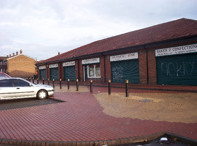
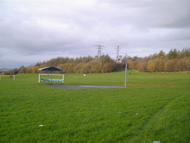
Despite its small size, Boldon boasts a range of amenities and facilities. The village is home to a primary school, a community center, and a few local shops, providing essential services for its residents. For those seeking recreational activities, Boldon offers several parks and green spaces, perfect for leisurely walks or family outings.

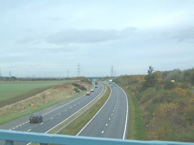
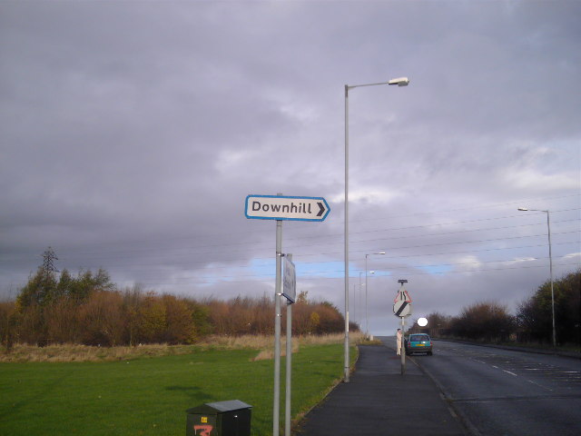
Transportation in Boldon is well-served, with convenient access to major road links such as the A19 and A184, making it easily accessible for commuters. The village is also served by a local bus service, connecting residents to nearby towns and cities.

Overall, Boldon offers a charming countryside lifestyle with easy access to urban amenities. Its rich history, coupled with its tranquil atmosphere, makes it an appealing place to live for those seeking a balance between rural and urban living.

If you have any feedback on the listing, please let us know in the comments section below.
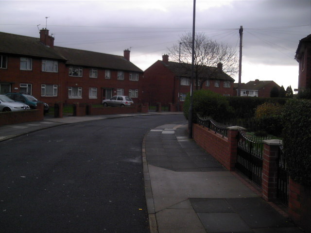
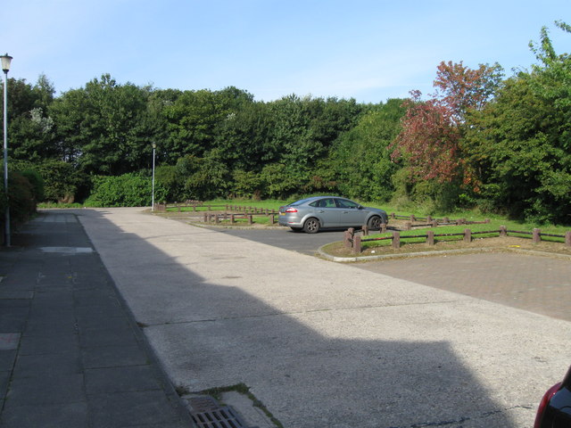
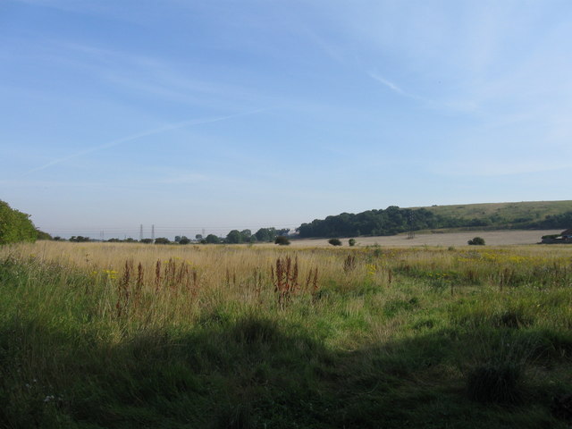
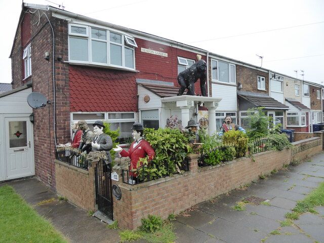
Boldon, West Images

Images are sourced within 2km of 54.942511/-1.4467981 or Grid Reference NZ3561. Thanks to Geograph Open Source API. All images are credited.

Saturday Afternoon above the A19 The A19 is one of the busiest roads in England and stretches from Doncaster, through Teesside and under the River Tyne to the A1 near Cramlington in Northumberland. Here is the stretch of road looking north, just south of the junction for Washington and West Boldon.
Saturday Afternoon above the A19
The A19 is one of the busiest roads in England and stretches from Doncaster, through Teesside and under the River Tyne to the A1 near Cramlington in Northumberland. Here is the stretch of road looking north, just south of the junction for Washington and West Boldon.
Town End A view of the Washington Road in the Town End Farm area of Sunderland. This was taken from the same bridge that crosses above the A19.
Town End
A view of the Washington Road in the Town End Farm area of Sunderland. This was taken from the same bridge that crosses above the A19.
Shops in Downhill A block of shops in among houses at Downhill.  Note how the shops all sport matching hand-painted signs.
Shops in Downhill
A block of shops in among houses at Downhill. Note how the shops all sport matching hand-painted signs.
Bradshaw Street Looking west down Bradshaw Street on the Town End Farm housing estate, near to Downhill, Sunderland.
Bradshaw Street
Looking west down Bradshaw Street on the Town End Farm housing estate, near to Downhill, Sunderland.
Ravenswood Road Houses on the corner of Ravenswood Road and Rotherfield Road on the Hylton Red House estate.
Ravenswood Road
Houses on the corner of Ravenswood Road and Rotherfield Road on the Hylton Red House estate.
Hylton Red House Housing on Hylton Red House estate.
Hylton Red House
Housing on Hylton Red House estate.
Downhill Park Underfurnished playground for the Downhill youths.
Downhill Park
Underfurnished playground for the Downhill youths.
The Eponymous Gradient This is the hill and this is the sign.
The Eponymous Gradient
This is the hill and this is the sign.
Ribble Road They look like Semis but these houses share common entry halls making them pure Double-Ribblers.
Ribble Road
They look like Semis but these houses share common entry halls making them pure Double-Ribblers.
Boston Crescent, Town End Farm
Fields north of Town End Farm
Urban fringe farming Wheat beside the A19 and Washington Road.
Urban fringe farming
Wheat beside the A19 and Washington Road.
Bedale Crescent, Downhill Grassy bank above Washington Road.  In 1950 this was a rural area some distance from urban Sunderland.
Bedale Crescent, Downhill
Grassy bank above Washington Road. In 1950 this was a rural area some distance from urban Sunderland.
This bit's flat Washington Road, Downhill.
This bit's flat
Washington Road, Downhill.
Houses on Washington Road
Looking east on Washington Road
House on Heaton Gardens. Whiteleas, South Shields Just checking that they are all still here.

Excellent work.

Exceptional work. 

Thank god for people like this.
House on Heaton Gardens. Whiteleas, South Shields
Just checking that they are all still here. Excellent work. Exceptional work. Thank god for people like this.
Open Land Near Boldon Colliery
Show me another place!

Boldon, West is located at Grid Ref: NZ3561 (Lat: 54.942511, Lng: -1.4467981)

Unitary Authority: South Tyneside

Police Authority: Northumbria

What 3 Words

///hello.modes.echo. Near The Boldons, Tyne & Wear

Nearby Locations

Boldon, West West Boldon

Related Wikis

The Boldons

The Boldons is an area made up of the three villages of East Boldon, West Boldon and Boldon Colliery in South Tyneside in the county of Tyne and Wear,...

Boldon School

Boldon School is a coeducational secondary school located in Boldon Colliery, South Tyneside, England.A community school administered by South Tyneside...

Battle of Boldon Hill

The Battle of Boldon Hill was a day-long engagement that took place in modern-day Tyne and Wear between English Royalists and an army made up of Scottish...

Jarrow Roofing Boldon Community Association F.C.

Jarrow Roofing Boldon Community Association Football Club was a football club based in Boldon Colliery, near Sunderland, England. The club was founded...

Boldon railway station

Boldon railway station served the village of East Boldon, Tyne and Wear, England, from 1844 to 1967 on the Pontop and South Shields Railway. == History... ==

Boldon Community Association F.C.

Boldon Community Association F.C. is an association football club that plays in the Northern Football League. The club was founded as Boldon Villa, joining...

East Boldon Metro station

East Boldon is a Tyne and Wear Metro station, serving the villages of Cleadon and East Boldon, South Tyneside in Tyne and Wear, England. It joined the...

Brockley Whins Metro station

Brockley Whins is a Tyne and Wear Metro station, serving the suburbs of Boldon Colliery and Brockley Whins, South Tyneside in Tyne and Wear, England. It...

Nearby Amenities

Located within 500m of 54.942511,-1.4467981
Noexit: yes
Lat/Long: 54.9435416/-1.4507552
West Boldon
Created By: Potlatch 0.4a
Place: village
Lat/Long: 54.9449401/-1.4514859
Bus Stop
WEST BOLDON HYLTON LANE
Local Ref: N
Naptan AtcoCode: 410000017950
Naptan Bearing: N
Naptan CommonName: WEST BOLDON HYLTON LANE
Naptan Indicator: N
Naptan Landmark: 40M SOUTH OF DIPE LANE OPPOSITE
Naptan NaptanCode: twrdmtpw
Naptan Street: HYLTON LANE
Naptan Verified: no
Source: naptan_import
Lat/Long: 54.9413956/-1.4527757
Bus Stop
WEST BOLDON HYLTON LANE
Local Ref: S
Naptan AtcoCode: 410000017951
Naptan Bearing: S
Naptan CommonName: WEST BOLDON HYLTON LANE
Naptan Indicator: S
Naptan Landmark: 55M SOUTH OF DIPE LANE
Naptan NaptanCode: twrdmtwa
Naptan Street: HYLTON LANE
Naptan Verified: no
Source: naptan_import
Lat/Long: 54.941188/-1.45256
Bus Stop
ST NICHOLAS ROAD-S/B
Local Ref: S
Naptan AtcoCode: 410000017024
Naptan Bearing: S
Naptan CommonName: ST NICHOLAS ROAD-S/B
Naptan Indicator: S
Naptan Landmark: OUTSIDE HILL TOP HOUSE
Naptan NaptanCode: twrdmdtp
Naptan Street: ST NICHOLAS ROAD
Naptan Verified: no
Source: naptan_import
Lat/Long: 54.9428028/-1.4539587
Bus Stop
WEST BOLDON
Bench: yes
Covered: yes
Local Ref: E
Naptan AtcoCode: 410000017025
Naptan Bearing: E
Naptan CommonName: WEST BOLDON
Naptan Indicator: E
Naptan Landmark: OPPOSITE BANK TOP GARAGE
Naptan NaptanCode: twrdmdtw
Naptan Street: ADDISON ROAD
Naptan Verified: no
Shelter: yes
Source: naptan_import
Lat/Long: 54.9429101/-1.4524077
Bus Stop
WESTERN TERRACE-MILL VILLAS-E/B
Local Ref: E
Naptan AtcoCode: 410000017026
Naptan Bearing: E
Naptan CommonName: WESTERN TERRACE-MILL VILLAS-E/B
Naptan Indicator: E
Naptan Landmark: OUTSIDE MILL VILLAS
Naptan NaptanCode: twrdmdwa
Naptan Street: WESTERN TERRACE
Naptan Verified: no
Source: naptan_import
Lat/Long: 54.945008/-1.4487301
Bus Stop
WESTERN TERRACE-HARDIE DRIVE
Local Ref: E
Naptan AtcoCode: 410000017027
Naptan Bearing: E
Naptan CommonName: WESTERN TERRACE-HARDIE DRIVE
Naptan Indicator: E
Naptan Landmark: OUTSIDE HARDEY DRIVE
Naptan NaptanCode: twrdmdwd
Naptan Street: WESTERN TERRACE
Naptan Verified: no
Source: naptan_import
Lat/Long: 54.9455873/-1.443742
Bus Stop
WESTERN TERRACE-AVIEMORE ROAD-W/B
Local Ref: W
Naptan AtcoCode: 410000017041
Naptan Bearing: W
Naptan CommonName: WESTERN TERRACE-AVIEMORE ROAD-W/B
Naptan Indicator: W
Naptan Landmark: OPPOSITE HARDEY DRIVE
Naptan NaptanCode: twrdmgdg
Naptan Street: WESTERN TERRACE
Naptan Verified: no
Source: naptan_import
Lat/Long: 54.9454054/-1.4452276
Bus Stop
ADDISON ROAD-W/B
Local Ref: S
Naptan AtcoCode: 410000017042
Naptan Bearing: S
Naptan CommonName: ADDISON ROAD-W/B
Naptan Indicator: S
Naptan Landmark: OPPOSITE JUNCTION WITH HARTON VIEW
Naptan NaptanCode: twrdmgdj
Naptan Street: ADDISON ROAD
Naptan Verified: no
Source: naptan_import
Lat/Long: 54.9442245/-1.4503644
Bus Stop
WEST BOLDON
Bench: yes
Covered: yes
Local Ref: W
Naptan AtcoCode: 410000017043
Naptan Bearing: W
Naptan CommonName: WEST BOLDON
Naptan Indicator: W
Naptan Landmark: OUTSIDE BANK TOP GARAGE
Naptan NaptanCode: twrdmgdm
Naptan Street: ADDISON ROAD
Naptan Verified: no
Shelter: yes
Source: naptan_import
Lat/Long: 54.9427085/-1.4530109
Post Office
West Boldon Post Office
Addr City: East Boldon
Addr County: Tyne & Wear
Addr Postcode: NE36 0RA
Addr Street: Addison Road
Addr Village: West Boldon
Brand: Post Office
Brand Wikidata: Q1783168
Fhrs Id: 1678375
Opening Hours: Mo-Fr 06:30-18:00; Sa 09:00-16:00
Ref Pol Id: 144258
Source: OS OpenData StreetView
Website: https://www.postoffice.co.uk/branch-finder/5503299/west-boldon
Lat/Long: 54.9428152/-1.4535042
Traffic Signals
Traffic Signals: signal
Lat/Long: 54.9426576/-1.4539346
Crossing
Button Operated: yes
Crossing: traffic_signals
Tactile Paving: yes
Lat/Long: 54.9427601/-1.4540092
Pub
Black Horse
Addr City: West Boldon
Addr County: Tyne & Wear
Addr Postcode: NE36 0QQ
Addr Street: Rectory Bank
Addr Village: West Boldon
Fhrs Id: 1677788
Source Addr: FHRS Open Data
Lat/Long: 54.9433345/-1.4544309
Pub
The Wheatsheaf
Addr City: West Boldon
Addr County: Tyne & Wear
Addr Postcode: NE36 0QR
Addr Street: St Nicholas Road
Addr Village: West Boldon
Fhrs Id: 191183
Source Addr: FHRS Open Data
Lat/Long: 54.9430096/-1.4543479
Fast Food
Dhaka Tandoori Takeaway
Addr City: West Boldon
Addr Street: Saint Nicholas Road
Cuisine: indian
Lat/Long: 54.9428153/-1.4541853
T W Heating & Plumbing
Addr City: West Boldon
Shop: yes
Lat/Long: 54.9427501/-1.4541801
Village Store & Newsagents
Addr City: West Boldon
Addr Street: Addison Road
Shop: convenience
Lat/Long: 54.9428593/-1.4534131
Post Box
Ref: NE36 306
Lat/Long: 54.9427694/-1.4535119
Waste Basket
Lat/Long: 54.9427857/-1.4533564
Golf Store
Shop: sports
Lat/Long: 54.9426346/-1.4436638
Boldon Lawn Tennis Club
Addr City: Boldon
Addr Postcode: NE36 0PQ
Addr Street: Dipe Lane
Leisure: sports_centre
Phone: +44 191 536 2076
Website: http://boldonlawntennisclub.co.uk/
Lat/Long: 54.9425796/-1.4407112
Post Box
Ref: NE36 194
Lat/Long: 54.9429356/-1.4436972
Crossing
Crossing: island
Tactile Paving: yes
Lat/Long: 54.9457496/-1.4417222
Crossing
Crossing: island
Tactile Paving: yes
Lat/Long: 54.9455324/-1.4441094
Crossing
Crossing: island
Tactile Paving: yes
Lat/Long: 54.9453984/-1.4459762
Crossing
Button Operated: yes
Crossing: traffic_signals
Tactile Paving: yes
Lat/Long: 54.945041/-1.4484385
Crossing
Button Operated: yes
Crossing: traffic_signals
Tactile Paving: yes
Lat/Long: 54.9434973/-1.4510348
Crossing
Button Operated: yes
Crossing: traffic_signals
Tactile Paving: yes
Lat/Long: 54.9427185/-1.4534837
West Boldon Swimming Pool
Access: yes
Leisure: swimming_pool
Lat/Long: 54.9469173/-1.4481261
Man Made: windmill
Lat/Long: 54.9443905/-1.4484108
Power: pole
Lat/Long: 54.9382054/-1.4479514
Power: pole
Lat/Long: 54.9384357/-1.4494742
The data included in this document is from www.openstreetmap.org. The data is made available under ODbL.

Have you been to Boldon, West?

Leave your review of Boldon, West below (or comments, questions and feedback).