West Boldon
Settlement in Durham
England
West Boldon
West Boldon is a village located in the metropolitan borough of South Tyneside, within the ceremonial county of Tyne and Wear, in the northeast of England. It is situated approximately five miles southeast of the city of Sunderland and eight miles northeast of the city of Durham. The village is part of the larger Boldon area, which also includes East Boldon and Boldon Colliery.
Historically, West Boldon was a farming community, but it also had coal mining and pottery industries. Today, it is a primarily residential area with a population of around 5,000 people. The village benefits from its proximity to major cities, offering a quieter, rural lifestyle while still being within easy reach of urban amenities.
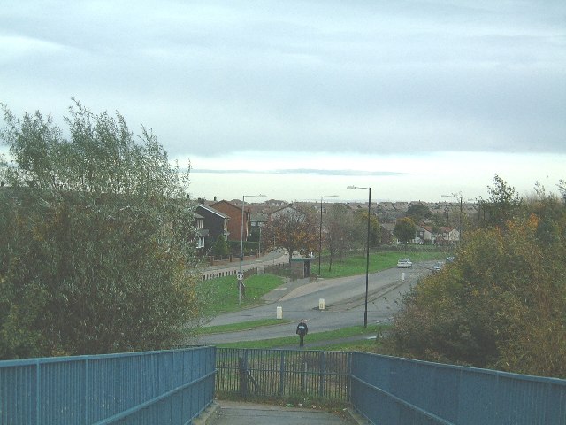
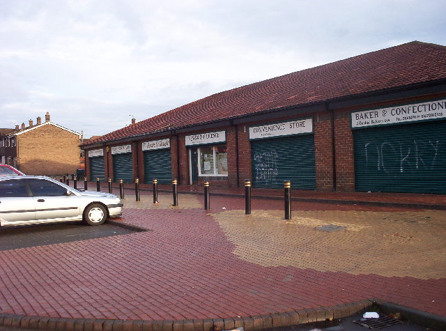
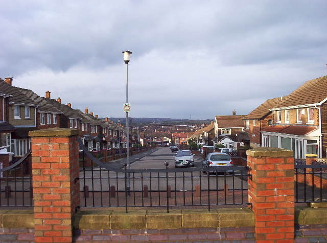
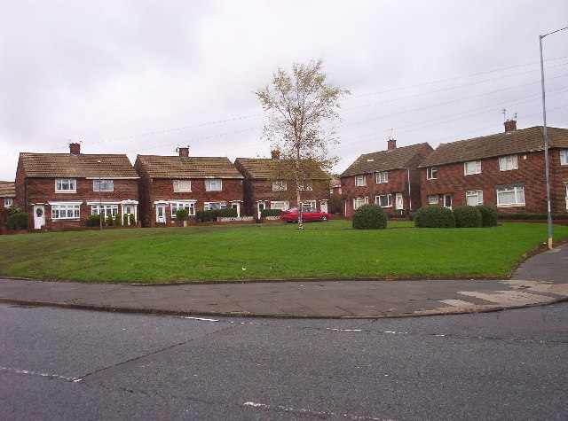
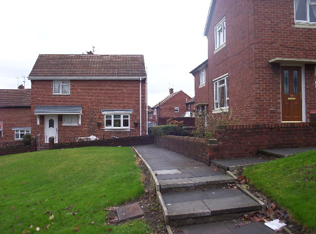
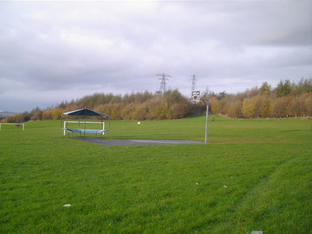
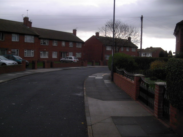
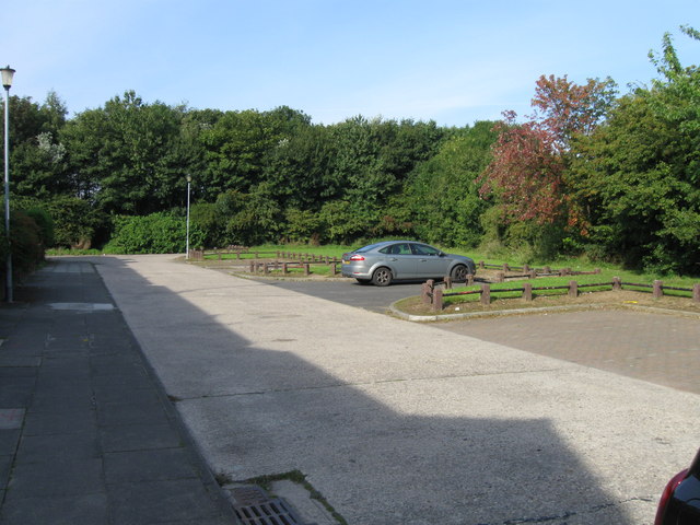
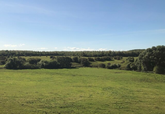
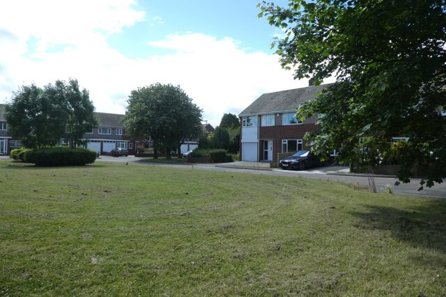
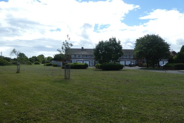
West Boldon is known for its picturesque surroundings and charming village atmosphere. It features a mix of old and new properties, including traditional cottages and modern housing estates. The village center is characterized by a range of local amenities, including shops, pubs, and restaurants, catering to the needs of residents and visitors alike.
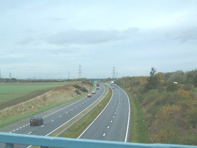
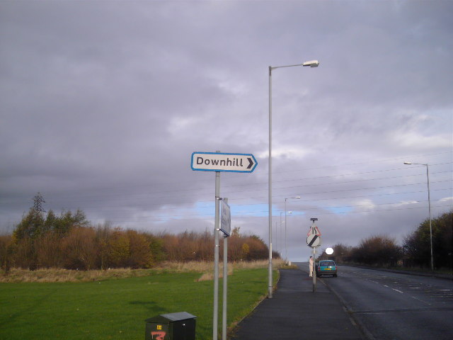
The area is well-served by public transportation, with regular bus services connecting West Boldon to nearby towns and cities. The village also benefits from its close proximity to major road networks, such as the A184 and A19, providing easy access to other parts of the region.
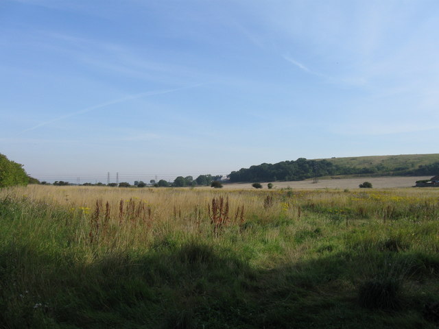
Overall, West Boldon offers a peaceful and attractive place to live, with a strong sense of community and a range of amenities, all set within the beautiful countryside of Durham.
If you have any feedback on the listing, please let us know in the comments section below.
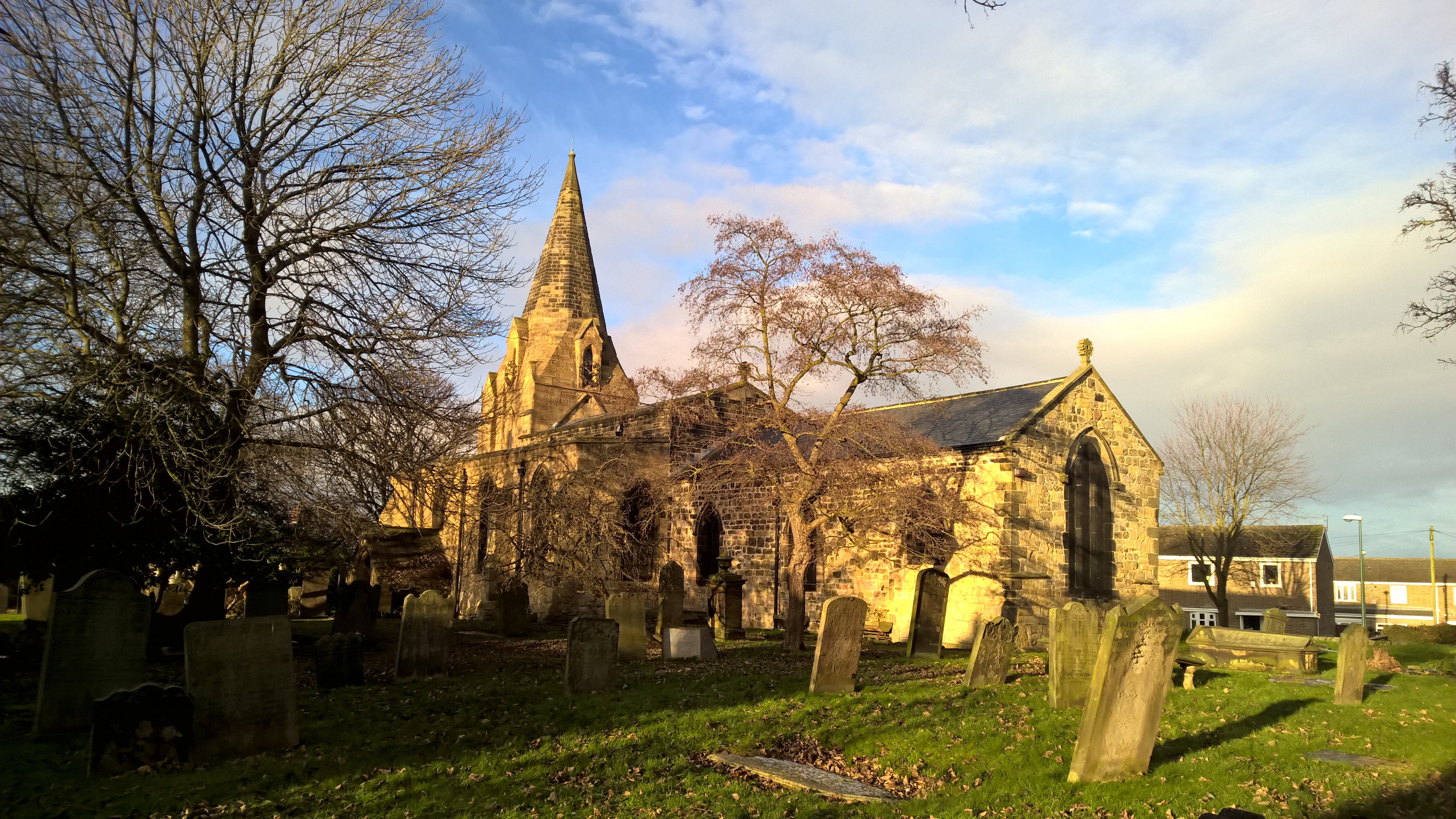
West Boldon Images
Images are sourced within 2km of 54.942511/-1.4467981 or Grid Reference NZ3561. Thanks to Geograph Open Source API. All images are credited.
West Boldon is located at Grid Ref: NZ3561 (Lat: 54.942511, Lng: -1.4467981)
Unitary Authority: South Tyneside
Police Authority: Northumbria
What 3 Words
///hello.modes.echo. Near The Boldons, Tyne & Wear
Nearby Locations
Related Wikis
The Boldons
The Boldons is an area made up of the three villages of East Boldon, West Boldon and Boldon Colliery in South Tyneside in the county of Tyne and Wear,...

Boldon School
Boldon School is a coeducational secondary school located in Boldon Colliery, South Tyneside, England.A community school administered by South Tyneside...
Battle of Boldon Hill
The Battle of Boldon Hill was a day-long engagement that took place in modern-day Tyne and Wear between English Royalists and an army made up of Scottish...
Jarrow Roofing Boldon Community Association F.C.
Jarrow Roofing Boldon Community Association Football Club was a football club based in Boldon Colliery, near Sunderland, England. The club was founded...

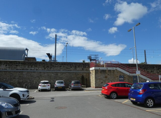
Boldon railway station
Boldon railway station served the village of East Boldon, Tyne and Wear, England, from 1844 to 1967 on the Pontop and South Shields Railway. == History... ==
Boldon Community Association F.C.
Boldon Community Association F.C. is an association football club that plays in the Northern Football League. The club was founded as Boldon Villa, joining...

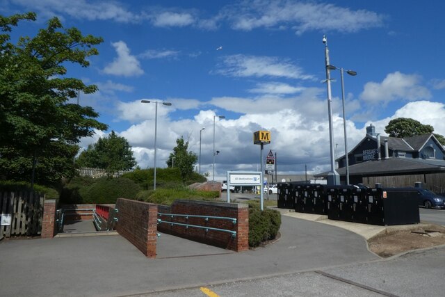
East Boldon Metro station
East Boldon is a Tyne and Wear Metro station, serving the villages of Cleadon and East Boldon, South Tyneside in Tyne and Wear, England. It joined the...

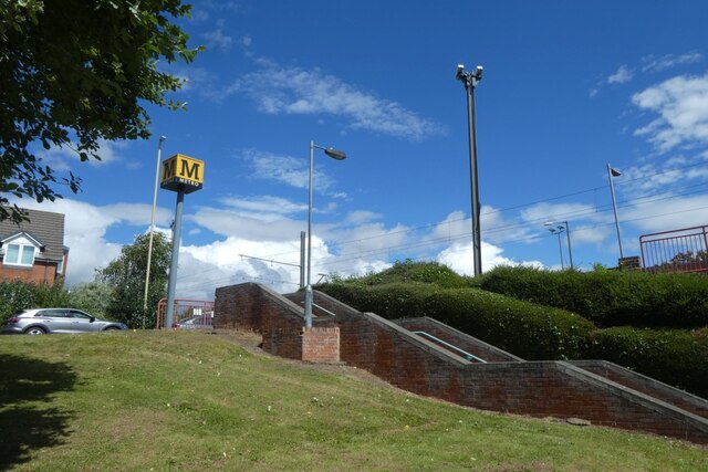
Brockley Whins Metro station
Brockley Whins is a Tyne and Wear Metro station, serving the suburbs of Boldon Colliery and Brockley Whins, South Tyneside in Tyne and Wear, England. It...
Nearby Amenities
Located within 500m of 54.942511,-1.4467981Have you been to West Boldon?
Leave your review of West Boldon below (or comments, questions and feedback).