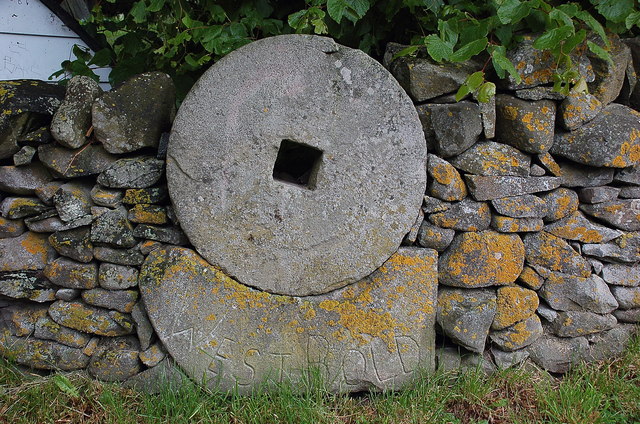
West Bold

Settlement in Peeblesshire

Scotland

West Bold

Caberston Coffee Shop, Walkerburn This coffee shop is located on the north side of the A72 in the village centre.
Caberston Coffee Shop, Walkerburn Credit: Walter Baxter

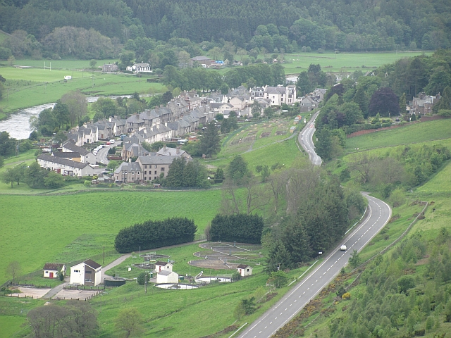
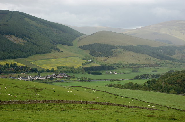
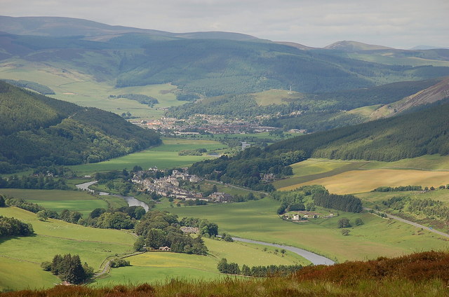
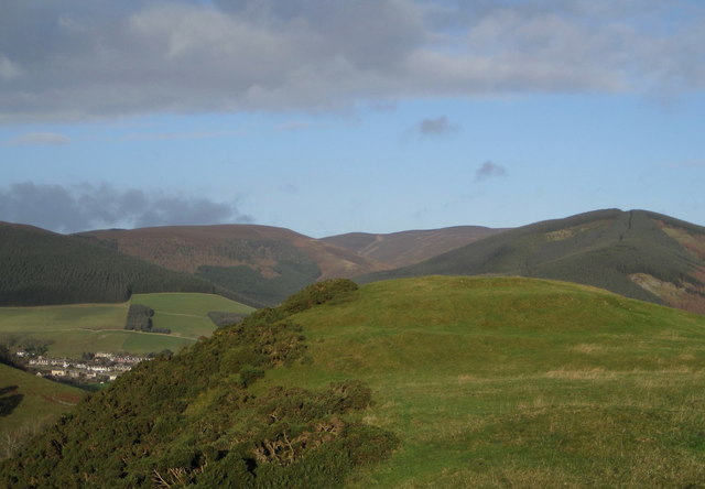
West Bold is a small village located in the county of Peeblesshire, Scotland. Situated in the southern region of the country, it lies about 5 miles northwest of the town of Peebles. The village is nestled within a picturesque rural landscape, surrounded by rolling hills and farmland.

With a population of around 200 residents, West Bold exudes a tranquil and tight-knit community atmosphere. The village primarily consists of traditional stone-built houses, giving it a charming and timeless character. Its rural setting makes it an ideal place for those seeking a peaceful lifestyle away from the hustle and bustle of larger towns and cities.

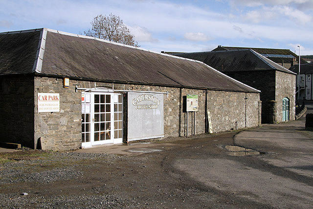
Despite its small size, West Bold benefits from a few amenities that cater to the needs of its residents. There is a local pub that serves as a social hub and meeting place, allowing for gatherings and fostering community cohesion. Additionally, the village has a small convenience store that provides essential goods and services.

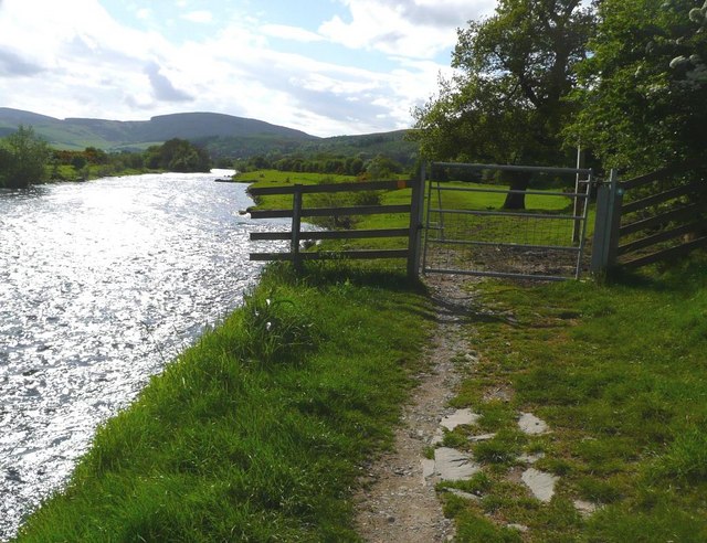
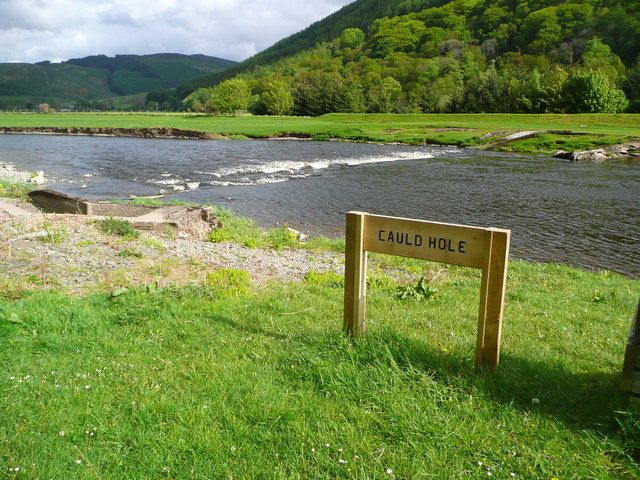
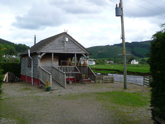
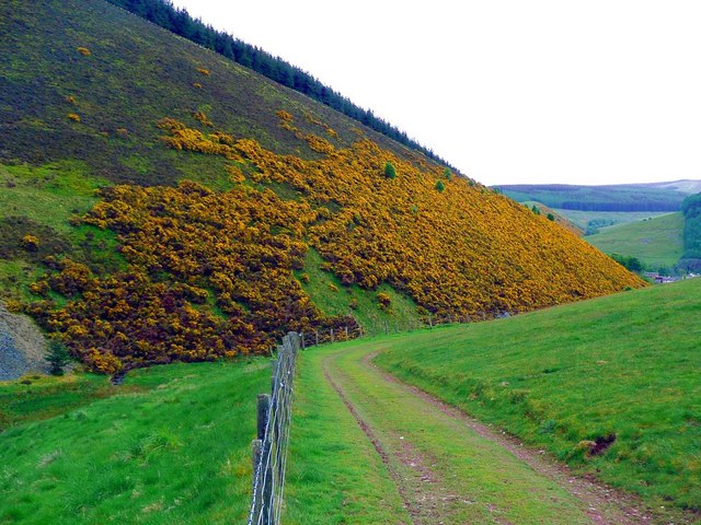
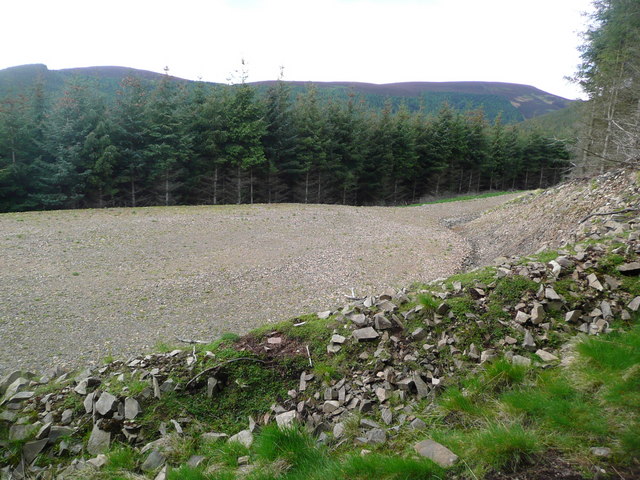
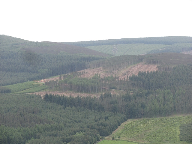
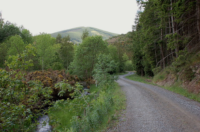
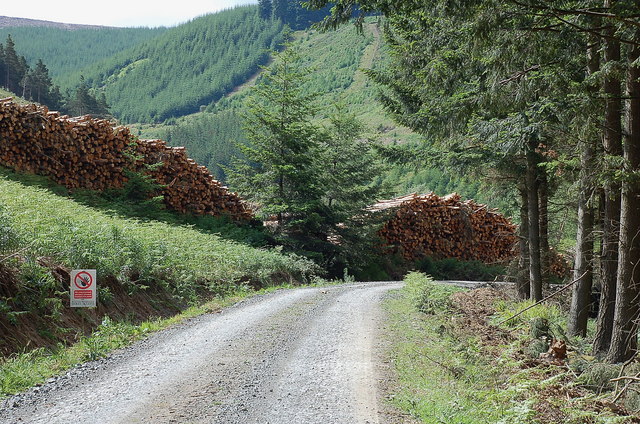
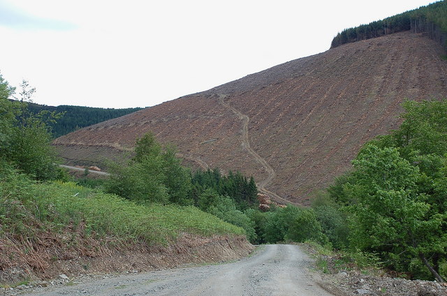
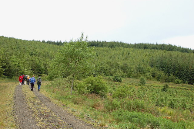
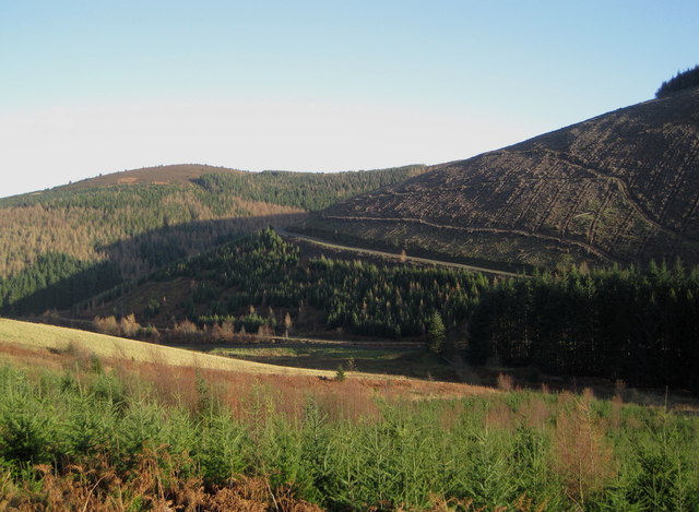
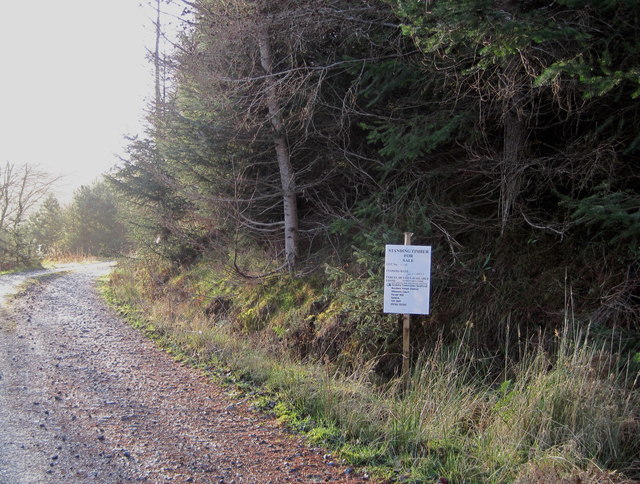
The surrounding natural beauty of West Bold offers numerous opportunities for outdoor activities. The nearby hills and countryside provide ample space for hiking, walking, and cycling. The village is also within close proximity to the River Tweed, which is renowned for its fishing opportunities.

Overall, West Bold is a tranquil and idyllic village, perfect for those seeking a close-knit community, a peaceful lifestyle, and easy access to the natural beauty of the Scottish countryside.

If you have any feedback on the listing, please let us know in the comments section below.

West Bold Images

Images are sourced within 2km of 55.613368/-3.0176002 or Grid Reference NT3636. Thanks to Geograph Open Source API. All images are credited.

Caberston Coffee Shop, Walkerburn This coffee shop is located on the north side of the A72 in the village centre.
Caberston Coffee Shop, Walkerburn
This coffee shop is located on the north side of the A72 in the village centre.
Gate by the Tweed at Innerleithen
The Cauld Hole on the Tweed at Walkerburn The 'Weir Pool' above the weir where fish stop to rest before continuing on up the river.
The Cauld Hole on the Tweed at Walkerburn
The 'Weir Pool' above the weir where fish stop to rest before continuing on up the river.
Superior fishing hut on the Tweed Fishing the Tweed for salmon can be expensive, and clients expect decent facilities.  This hut provides shelter and a seat when break time comes.  Note the rod support outside between the two sets of steps.
Superior fishing hut on the Tweed
Fishing the Tweed for salmon can be expensive, and clients expect decent facilities. This hut provides shelter and a seat when break time comes. Note the rod support outside between the two sets of steps.
Gorse in exuberant form above Walkerburn
Forest track development above Walkerburn A huge metalled turning area at the end of the forest track has been created here by extensive excavation.  The forest appears mature and this may signify imminent harvesting.
Forest track development above Walkerburn
A huge metalled turning area at the end of the forest track has been created here by extensive excavation. The forest appears mature and this may signify imminent harvesting.
Middlebar Knowe Trees being harvested in Elibank Forest.
Middlebar Knowe
Trees being harvested in Elibank Forest.
A72 Walkerburn The A72 east of Walkerburn. View from Pyat Hill.
A72 Walkerburn
The A72 east of Walkerburn. View from Pyat Hill.
Forest road by the Bold Burn This meets the public minor road at Glenbenna. Cairn Hill is in the background.
Forest road by the Bold Burn
This meets the public minor road at Glenbenna. Cairn Hill is in the background.
Timber stacks near Glenbenna Plenty of timber awaiting transport from Traquair and Elibank Forest.
Timber stacks near Glenbenna
Plenty of timber awaiting transport from Traquair and Elibank Forest.
Clear felled slope on Glenbenna Head Logging in the Traquair and Elibank Forest, seen here from the forest road contouring Bold Rig.
Clear felled slope on Glenbenna Head
Logging in the Traquair and Elibank Forest, seen here from the forest road contouring Bold Rig.
Walkerburn and the Tweed from Bold Rig The east end of Walkerburn is in view with Cairn Hill and Early Knowe (R) beyond.
Walkerburn and the Tweed from Bold Rig
The east end of Walkerburn is in view with Cairn Hill and Early Knowe (R) beyond.
Walkers near the Plora Burn There are forest plantations in several stages of growth, and the mature trees are being logged.
Walkers near the Plora Burn
There are forest plantations in several stages of growth, and the mature trees are being logged.
Millstone at West Bold An old millstone now used as the farm sign, West Bold.
Millstone at West Bold
An old millstone now used as the farm sign, West Bold.
The Tweed Valley from Southerly Nick Walkerburn (centre) with Innerleithen beyond in this view from the ridge just NW of Thornielee Forest.
The Tweed Valley from Southerly Nick
Walkerburn (centre) with Innerleithen beyond in this view from the ridge just NW of Thornielee Forest.
Elibank and Traquair Forest Various stages of tree growth are in view here with clear felling on part of the ridge from Glenbenna Head and mature forest on Middlebar Knowe (L).
Elibank and Traquair Forest
Various stages of tree growth are in view here with clear felling on part of the ridge from Glenbenna Head and mature forest on Middlebar Knowe (L).
Too late to buy these trees 'Standing Timber For Sale' proclaims the notice, but the closing date of 30th November has passed.
Too late to buy these trees
'Standing Timber For Sale' proclaims the notice, but the closing date of 30th November has passed.
Hill fort, Bold Rig Hill fort remains on the end of Bold Rig, with part of Walkerburn in view and Cairn Hill to the right.
Hill fort, Bold Rig
Hill fort remains on the end of Bold Rig, with part of Walkerburn in view and Cairn Hill to the right.
Show me another place!

West Bold is located at Grid Ref: NT3636 (Lat: 55.613368, Lng: -3.0176002)

Unitary Authority: The Scottish Borders

Police Authority: The Lothians and Scottish Borders

What 3 Words

///explained.ordering.facelift. Near Innerleithen, Scottish Borders

Related Wikis

Walkerburn railway station

Walkerburn railway station served the village of Walkerburn, Scottish Borders, Scotland from 1867 to 1962 on the Peebles Railway. == History == The station...

The Kirna

The Kirna, known locally as Kirna House (previously also as Grangehill), is a Category A listed villa in Walkerburn, Peeblesshire, Scotland. It is one...

Walkerburn

Walkerburn (Scottish Gaelic: Allt an Fhùcadair) is a small village in the Scottish Borders area of Scotland, on the A72 about 8 miles (13 km) from Peebles...

Innerleithen

Innerleithen (Scottish Gaelic: Inbhir Leitheann) is a civil parish and a small town in the committee area of Tweeddale, in the Scottish Borders. It was...

Innerleithen railway station

Innerleithen railway station served the town of Innerleithen, Scottish Borders, Scotland from 1864 to 1962 on the Peebles Railway. == History == The station...

Robert Smail's Printing Works

Robert Smail's Printing Works is a fully functional Victorian era letterpress printing works in the small Scottish Borders town of Innerleithen, now preserved...

Traquair House

Traquair House, approximately 7 miles southeast of Peebles, is claimed to be the oldest continually inhabited house in Scotland. Whilst not strictly a...

Vale of Leithen F.C.

Vale of Leithen Football Club are a football club based in the town of Innerleithen, Scotland. They play in the East of Scotland League First Division...

Have you been to West Bold?

Leave your review of West Bold below (or comments, questions and feedback).