West Benhar
Settlement in Lanarkshire
Scotland
West Benhar
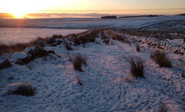
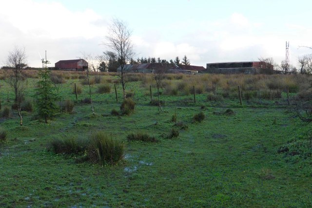
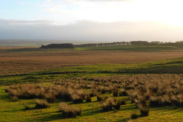
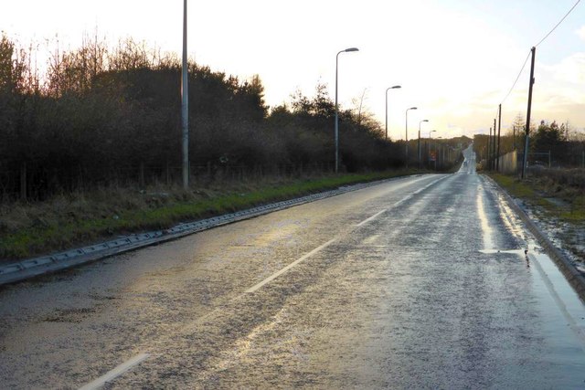
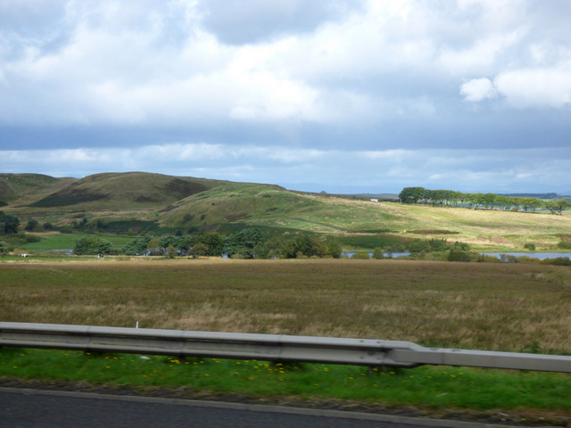
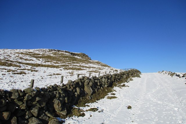
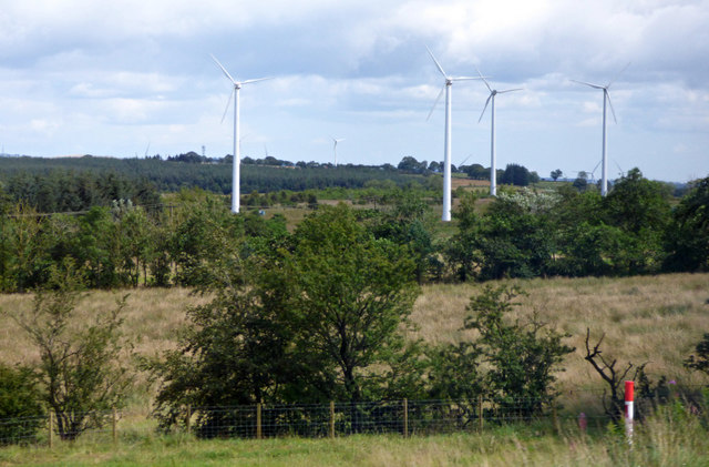
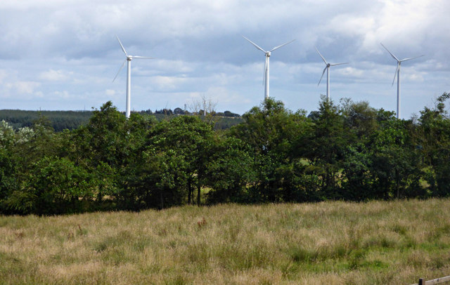
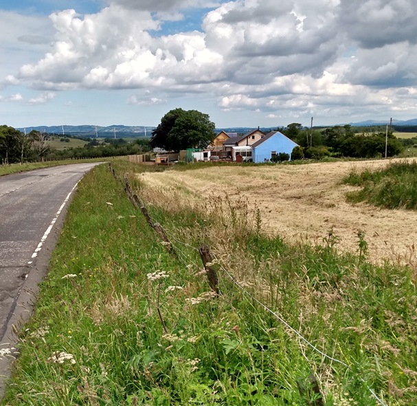
West Benhar is a small village located in the county of Lanarkshire, Scotland. Situated approximately 2 miles north of Harthill, it lies between the larger towns of Bathgate and Livingston. The village is surrounded by picturesque countryside, offering a peaceful and scenic environment for its residents.
West Benhar has a rich industrial history, with coal mining being the main source of employment in the area for many years. The village was once home to several collieries, which played a significant role in the local economy. However, with the decline of the coal industry, the village has undergone a transition towards a more residential and commuter-oriented community.
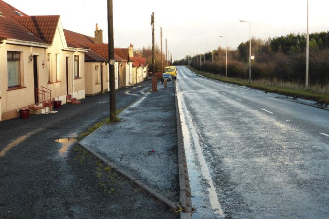
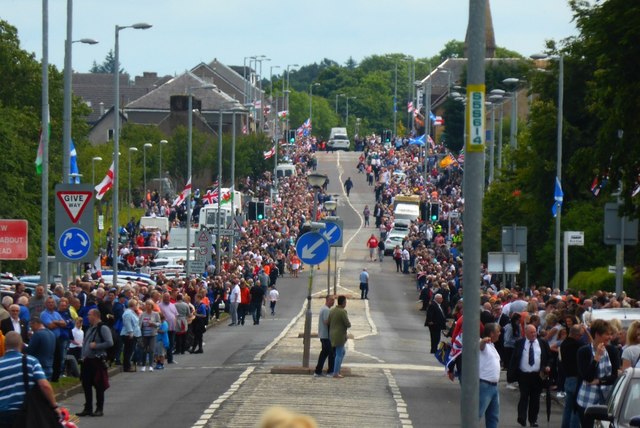
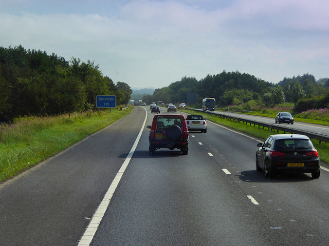
Today, West Benhar is primarily a residential area, with a mix of housing types ranging from traditional cottages to more modern developments. The village has a strong sense of community, with various local amenities to cater to the needs of its residents. These include a primary school, a community center, and a local convenience store. The village also benefits from excellent transport links, with easy access to major road networks such as the M8, allowing for convenient travel to nearby towns and cities.
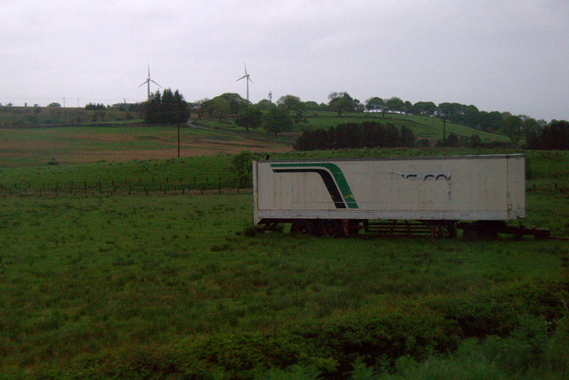
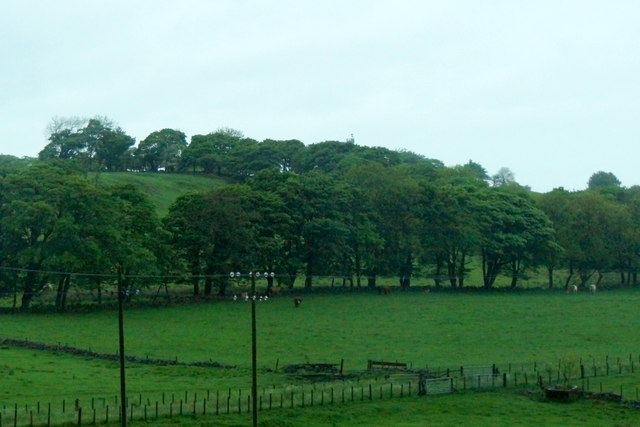
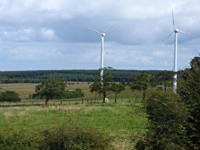
The surrounding countryside offers ample opportunities for outdoor activities, including walking, cycling, and fishing. Additionally, the nearby towns of Bathgate and Livingston provide a range of shopping, leisure, and entertainment facilities for residents to enjoy. Overall, West Benhar offers a peaceful and idyllic setting, making it an attractive place to live for those seeking a quieter rural lifestyle within easy reach of urban amenities.
If you have any feedback on the listing, please let us know in the comments section below.
West Benhar Images
Images are sourced within 2km of 55.847159/-3.7903713 or Grid Reference NS8863. Thanks to Geograph Open Source API. All images are credited.
West Benhar is located at Grid Ref: NS8863 (Lat: 55.847159, Lng: -3.7903713)
Unitary Authority: North Lanarkshire
Police Authority: Lanarkshire
What 3 Words
///housework.salmon.cowboys. Near Harthill, North Lanarkshire
Nearby Locations
Related Wikis

Kirk o' Shotts transmitting station
The Kirk o' Shotts transmitting station is a broadcasting and telecommunications site at The Hirst which lies just outside the village of Salsburgh which...
Shotts Bon Accord F.C.
Shotts Bon Accord Football Academy are a Scottish football club based in the town of Shotts, North Lanarkshire. == History == Shotts Bon Accord were formed...
Forrestburn Hillclimb
Forrestburn Speed Hill Climb is a 1,030-metre (3,380 ft) hillclimb track rising from 221m to 246m AOD with a maximum gradient of 1:4 near Kirk o' Shotts...
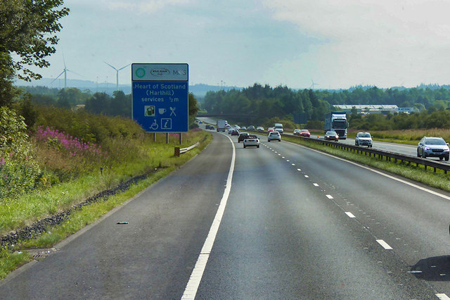
Heart of Scotland services
Heart of Scotland services, commonly referred to as Harthill services, is a motorway service station on the M8 motorway between junctions 4a & 5, at Harthill...
West Benhar F.C.
West Benhar Football Club (also known simply as Benhar) was a senior football club from the small mining settlement of West Benhar, a mile to the south...
North East Lanarkshire (UK Parliament constituency)
North East Lanarkshire was a county constituency of the House of Commons of the Parliament of the United Kingdom (Westminster) from 1885 to 1918. It elected...

Shotts
Shotts is a small town in North Lanarkshire, Scotland. It is located almost halfway between Glasgow (17 miles or 27 kilometres) and Edinburgh (26 miles...

Harthill, Scotland
Harthill is a rural village split between North Lanarkshire and West Lothian in Scotland, with most of the village in North Lanarkshire. It is located...
Nearby Amenities
Located within 500m of 55.847159,-3.7903713Have you been to West Benhar?
Leave your review of West Benhar below (or comments, questions and feedback).