Benhar, West
Settlement in Lanarkshire
Scotland
Benhar, West
Benhar is a small village located in the county of West Lanarkshire, Scotland. Situated approximately 3 miles northeast of Shotts, it is nestled in the picturesque countryside of central Scotland. The village is part of the larger Shotts parish and falls within the ML7 postcode area.
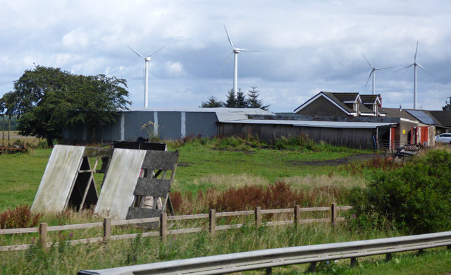
With its origins dating back to the 19th century, Benhar was primarily established as a mining community. The village owes its existence to the nearby Benhar Colliery, which was once a significant source of employment for the local population. However, following the decline of the mining industry in the late 20th century, the colliery was closed, resulting in a shift in the village's economic landscape.
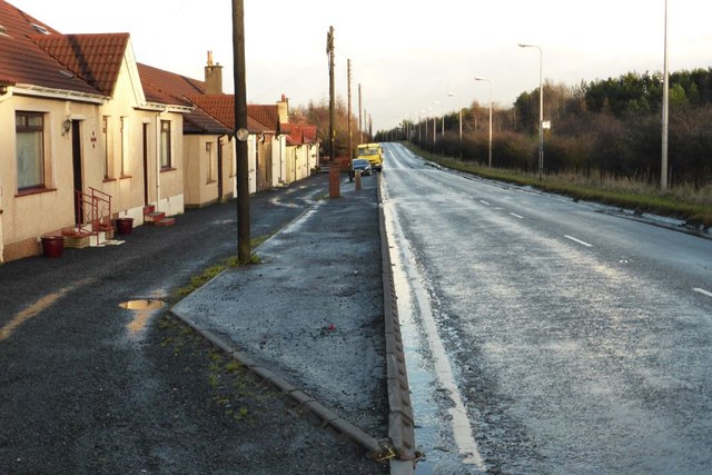
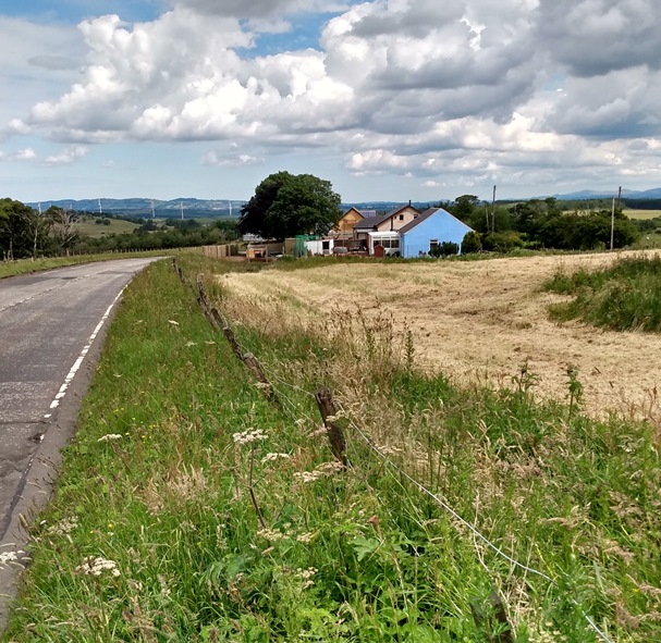
Today, Benhar is a residential area with a relatively small population. The village features a mix of housing types, including traditional cottages and modern developments. Amenities in Benhar are limited, but residents have access to essential services in nearby Shotts, including schools, healthcare facilities, and shopping centers.
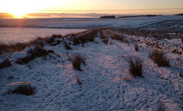
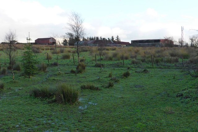
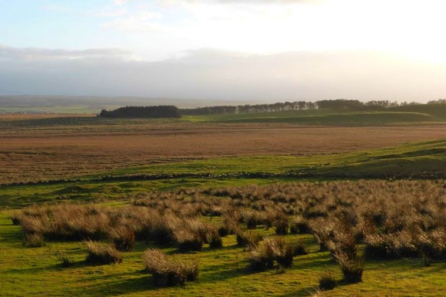
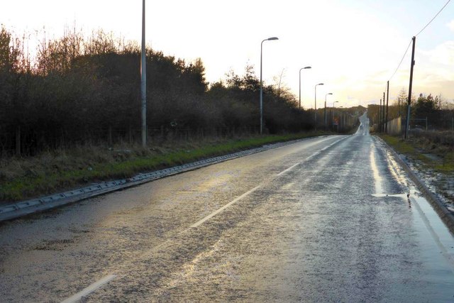
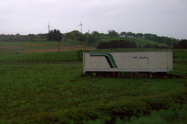
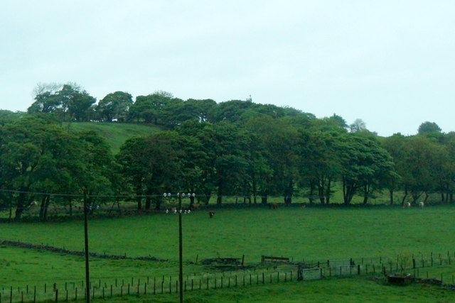
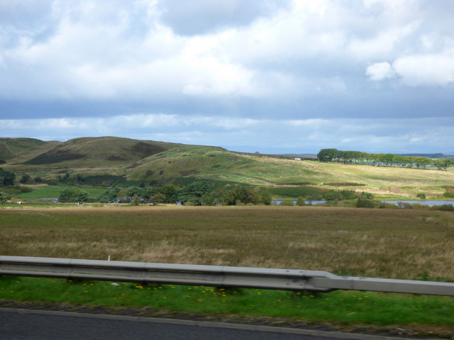
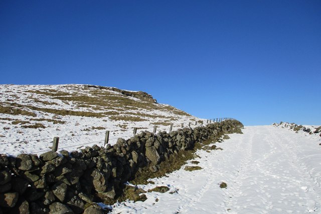
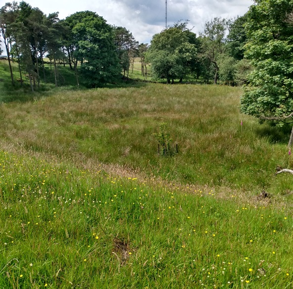
Nature enthusiasts can enjoy the scenic surroundings of Benhar, as the village is surrounded by rolling hills and expansive countryside. The area offers opportunities for outdoor activities such as hiking and cycling, with various trails and paths available to explore.
Overall, Benhar is a tranquil village that offers a peaceful rural lifestyle, making it an attractive place for those seeking a quieter setting within close proximity to urban amenities.
If you have any feedback on the listing, please let us know in the comments section below.
Benhar, West Images
Images are sourced within 2km of 55.847159/-3.7903713 or Grid Reference NS8863. Thanks to Geograph Open Source API. All images are credited.

Benhar, West is located at Grid Ref: NS8863 (Lat: 55.847159, Lng: -3.7903713)
Unitary Authority: North Lanarkshire
Police Authority: Lanarkshire
What 3 Words
///housework.salmon.cowboys. Near Harthill, North Lanarkshire
Nearby Locations
Related Wikis

Kirk o' Shotts transmitting station
The Kirk o' Shotts transmitting station is a broadcasting and telecommunications site at The Hirst which lies just outside the village of Salsburgh which...
Shotts Bon Accord F.C.
Shotts Bon Accord Football Academy are a Scottish football club based in the town of Shotts, North Lanarkshire. == History == Shotts Bon Accord were formed...
Forrestburn Hillclimb
Forrestburn Speed Hill Climb is a 1,030-metre (3,380 ft) hillclimb track rising from 221m to 246m AOD with a maximum gradient of 1:4 near Kirk o' Shotts...
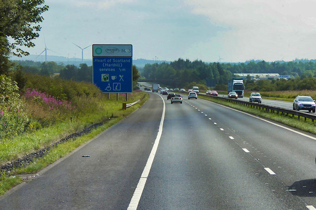
Heart of Scotland services
Heart of Scotland services, commonly referred to as Harthill services, is a motorway service station on the M8 motorway between junctions 4a & 5, at Harthill...
West Benhar F.C.
West Benhar Football Club (also known simply as Benhar) was a senior football club from the small mining settlement of West Benhar, a mile to the south...
North East Lanarkshire (UK Parliament constituency)
North East Lanarkshire was a county constituency of the House of Commons of the Parliament of the United Kingdom (Westminster) from 1885 to 1918. It elected...

Shotts
Shotts is a small town in North Lanarkshire, Scotland. It is located almost halfway between Glasgow (17 miles or 27 kilometres) and Edinburgh (26 miles...

Harthill, Scotland
Harthill is a rural village split between North Lanarkshire and West Lothian in Scotland, with most of the village in North Lanarkshire. It is located...
Nearby Amenities
Located within 500m of 55.847159,-3.7903713Have you been to Benhar, West?
Leave your review of Benhar, West below (or comments, questions and feedback).