West Bedfont
Settlement in Middlesex Spelthorne
England
West Bedfont
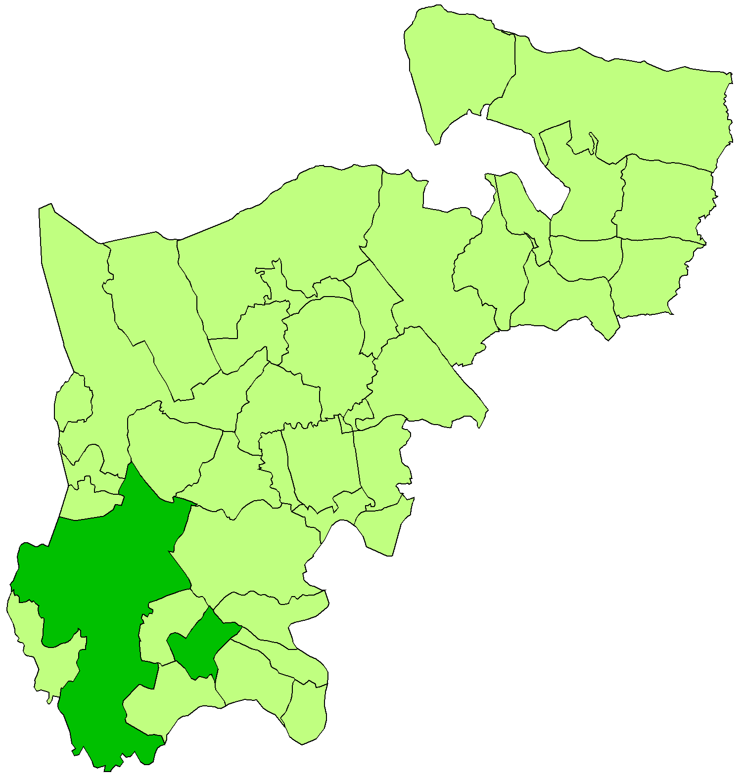
West Bedfont is a small suburban area located in the borough of Spelthorne, Middlesex, England. Situated on the outskirts of London, it is approximately 16 miles southwest of central London and borders the towns of Feltham and Ashford. West Bedfont is part of the historical county of Middlesex, although it is now administratively considered part of Greater London.
The area is primarily residential, consisting mainly of semi-detached houses and a few small apartment buildings. It has a population of around 8,000 people. West Bedfont benefits from its proximity to major transport links, including the M3 and M25 motorways, which provide convenient access to the rest of London and beyond. Additionally, the area is well-served by public transportation, with regular bus services connecting it to nearby towns and train stations.
Despite its somewhat urban location, West Bedfont is surrounded by green spaces and parks, offering residents opportunities for outdoor activities and recreation. Bedfont Lakes Country Park, located to the east of the area, is a popular destination for nature lovers, offering picturesque lakes, walking trails, and wildlife spotting.
West Bedfont is home to a range of amenities, including local shops, supermarkets, and a few small businesses. The nearby towns of Feltham and Ashford provide additional shopping and entertainment options.
Overall, West Bedfont offers a quiet and convenient suburban lifestyle, with easy access to both the city and the countryside. It is a popular choice for families and commuters looking for affordable housing and a peaceful environment within reach of London's amenities.
If you have any feedback on the listing, please let us know in the comments section below.
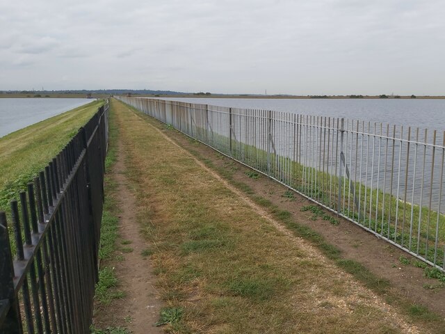
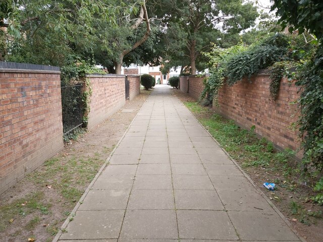
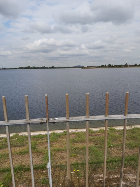
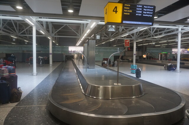
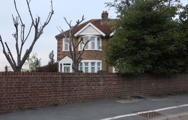
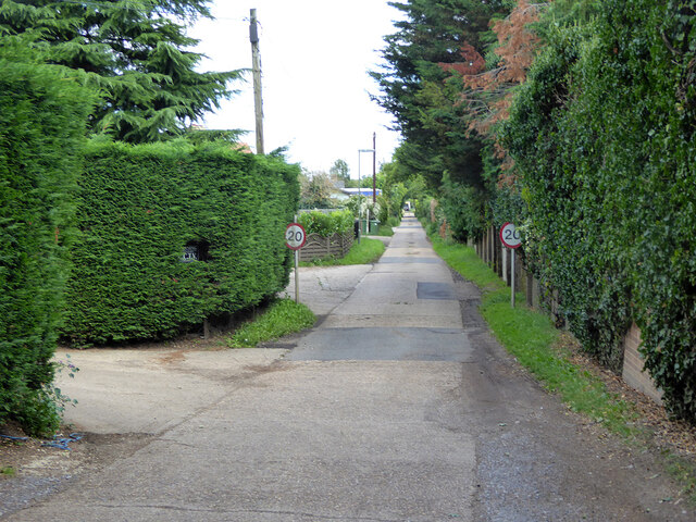
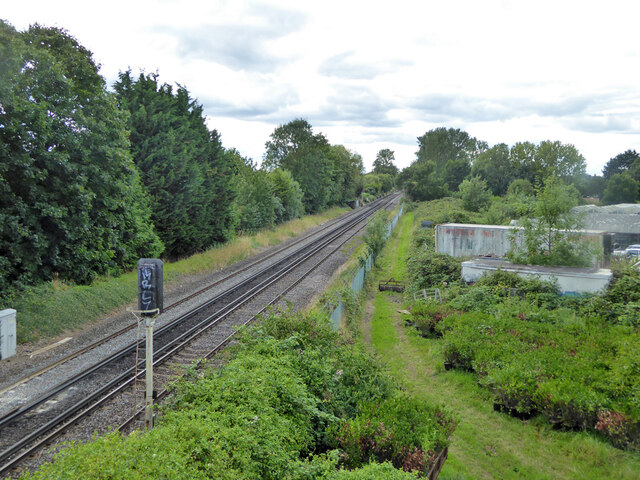
West Bedfont Images
Images are sourced within 2km of 51.453496/-0.462882 or Grid Reference TQ0673. Thanks to Geograph Open Source API. All images are credited.


West Bedfont is located at Grid Ref: TQ0673 (Lat: 51.453496, Lng: -0.462882)
Administrative County: Surrey
District: Spelthorne
Police Authority: Surrey
What 3 Words
///hugs.assets.grab. Near Ashford, Surrey
Nearby Locations
Related Wikis

Ashford Town (Middlesex) F.C.
Ashford Town (Middlesex) Football Club are a football club based in Stanwell, Surrey, England. The club are currently members of the Isthmian League South...
Staines Rural District
Staines Rural District was a rural district of Middlesex in England from 1894 to 1930. It was created in 1894 replacing the 1875-created Staines rural...
T2 Energy Centre
The T2 Energy Centre is a biomass-fuelled combined heating and power (CHP) station at Heathrow Airport in London which opened in December 2012. It provides...

Stanwell
Stanwell is a village in the Borough of Spelthorne, Surrey, England. It is 16 miles (26 km) west of central London. A small corner of its land is used...
Church of St Mary, Stanwell
The Church of St Mary the Virgin, Stanwell, is a Church of England parish church in the village of Stanwell, Surrey. It dates to the 12th-century and is...

Virgin Atlantic Flight 024
Virgin Atlantic Flight 024 was a regularly scheduled Virgin Atlantic passenger flight from Los Angeles, California, to London, United Kingdom. On 5 November...
Heathrow Cargo Tunnel
The Heathrow Cargo Tunnel is a road tunnel in the London Borough of Hillingdon, London, UK that serves London Heathrow Airport. == History == In December...

Ashford Hospital
Ashford Hospital is a general hospital in Ashford, Surrey. It is managed by the Ashford and St Peter's Hospitals NHS Foundation Trust. == History == The...
Nearby Amenities
Located within 500m of 51.453496,-0.462882Have you been to West Bedfont?
Leave your review of West Bedfont below (or comments, questions and feedback).