Bank, West
Settlement in Lancashire
England
Bank, West
Bank, West, Lancashire is a small rural village located in the county of Lancashire, England. Situated on the western outskirts of the larger town of Southport, Bank is a close-knit community with a population of around 1,000 residents.
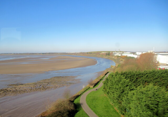
The village is known for its picturesque surroundings, surrounded by lush green fields and rolling hills. It offers a peaceful and tranquil atmosphere, making it an ideal place for those seeking a quiet countryside retreat. The nearby River Alt adds to the natural beauty of the area, providing opportunities for leisurely walks and outdoor activities.
Bank is home to a few local amenities, including a post office, a small convenience store, and a primary school. Residents also have access to a number of recreational facilities, such as a community center and a local park. The village is well-connected to neighboring towns and cities by a network of roads, making it easily accessible for commuters.
The village's economy primarily relies on agriculture and tourism. Many residents are involved in farming and agricultural activities, taking advantage of the fertile land surrounding the village. The natural beauty of the area also attracts tourists, who visit to explore the countryside and enjoy outdoor pursuits.
Overall, Bank, West, Lancashire offers a charming rural lifestyle with its idyllic setting and close-knit community. It appeals to those seeking a peaceful and picturesque place to call home, away from the hustle and bustle of larger towns and cities.
If you have any feedback on the listing, please let us know in the comments section below.
Bank, West Images
Images are sourced within 2km of 53.34408/-2.729963 or Grid Reference SJ5183. Thanks to Geograph Open Source API. All images are credited.
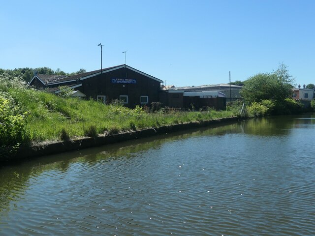
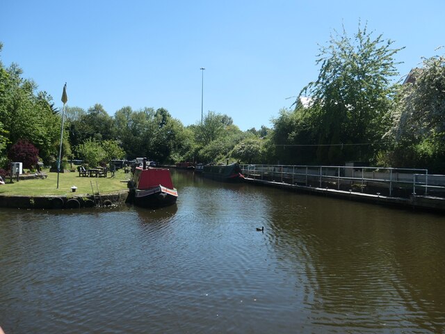
![Sprinch Arm, Bridgewater Canal, Runcorn In the late 1800s, the short arm to the left of the red flag and wharf crane led to graving docks [permanent open-air dry docks]. Sprinch Yard was where the flag and crane are, surrounded by water on almost all sides.](https://s0.geograph.org.uk/geophotos/06/91/55/6915512_164376b0.jpg)
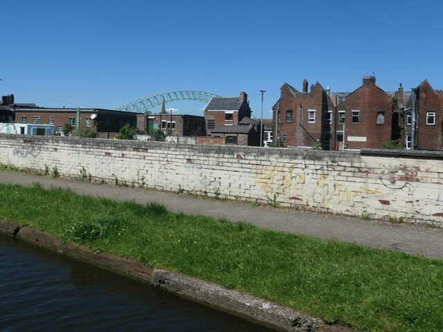
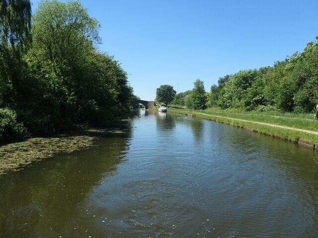
![High Street, Runcorn A boater's view, looking under Queensway [part of the approach to the Silver Jubilee Bridge across the River Mersey].](https://s3.geograph.org.uk/geophotos/06/91/55/6915539_f878df98.jpg)
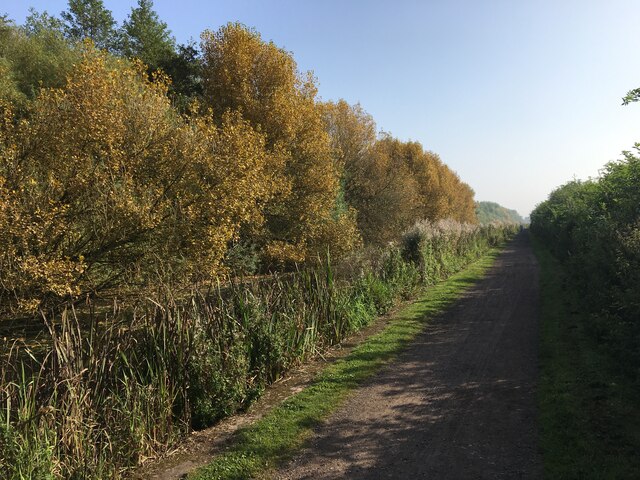
![Delph Bridge [no 84], from the east Carrying over the Bridgewater canal. "Apreciate what U have" says the graffiti on the wall.](https://s0.geograph.org.uk/geophotos/06/91/61/6916128_d486a085.jpg)
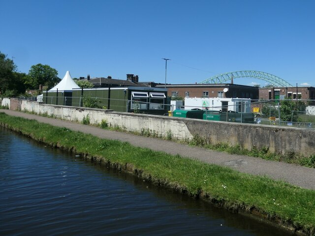
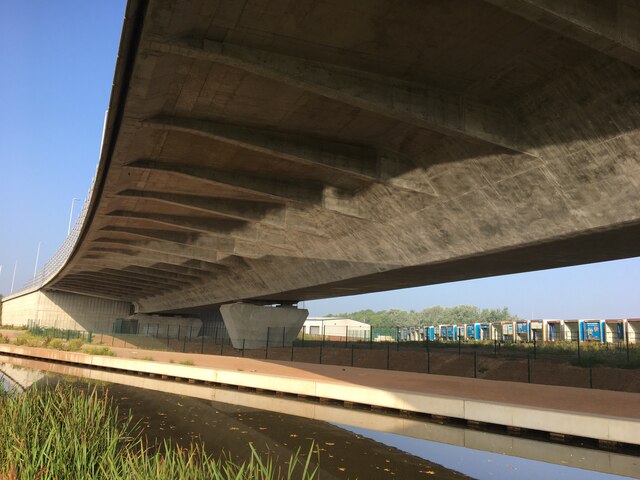
![Three road bridges across the Bridgewater canal, Runcorn The higher middle one carries the north-south Central Expressway [A533]. The nearest one carries a slip road from the east-west Bridgewater Expressway [A558] onto the Central Expressway. The farthest one carries a slip road from the Central Expressway onto the Bridgewater Expressway.](https://s3.geograph.org.uk/geophotos/06/91/61/6916143_a066fa76.jpg)
Bank, West is located at Grid Ref: SJ5183 (Lat: 53.34408, Lng: -2.729963)
Unitary Authority: Halton
Police Authority: Cheshire
What 3 Words
///task.dose.camps. Near Runcorn, Cheshire
Nearby Locations
Related Wikis

Holy Trinity Church, Runcorn
Holy Trinity Church is in Runcorn, Cheshire, England. It is an active Anglican parish church in the diocese of Chester, the archdeaconry of Chester and...
Runcorn
Runcorn is an industrial town and cargo port in the Borough of Halton, Cheshire, England. Its population in 2021 was 62,100. Runcorn is on the southern...

Runcorn Urban District
Runcorn Urban District was an urban district centred around the town of Runcorn in Cheshire, England from 1894 until 1974.The district was abolished in...

The Brindley
The Brindley is a theatre in the town of Runcorn, Cheshire, England. Located by the Bridgewater Canal, the centre is named after the canal's engineer,...

All Saints' Church, Runcorn
All Saints' Church is the parish church of Runcorn, Cheshire, England, sited on the south bank of the River Mersey overlooking Runcorn Gap. There is a...

Widnes–Runcorn Transporter Bridge
The Widnes–Runcorn Transporter Bridge crossed the river Mersey and Manchester Ship Canal linking the towns of Runcorn and Widnes. Completed in 1905,...

Old Quay Bridge
Old Quay Bridge is a Grade II listed swing bridge in Runcorn, England. == History == Old Quay Bridge is a swing bridge across the Manchester Ship Canal...
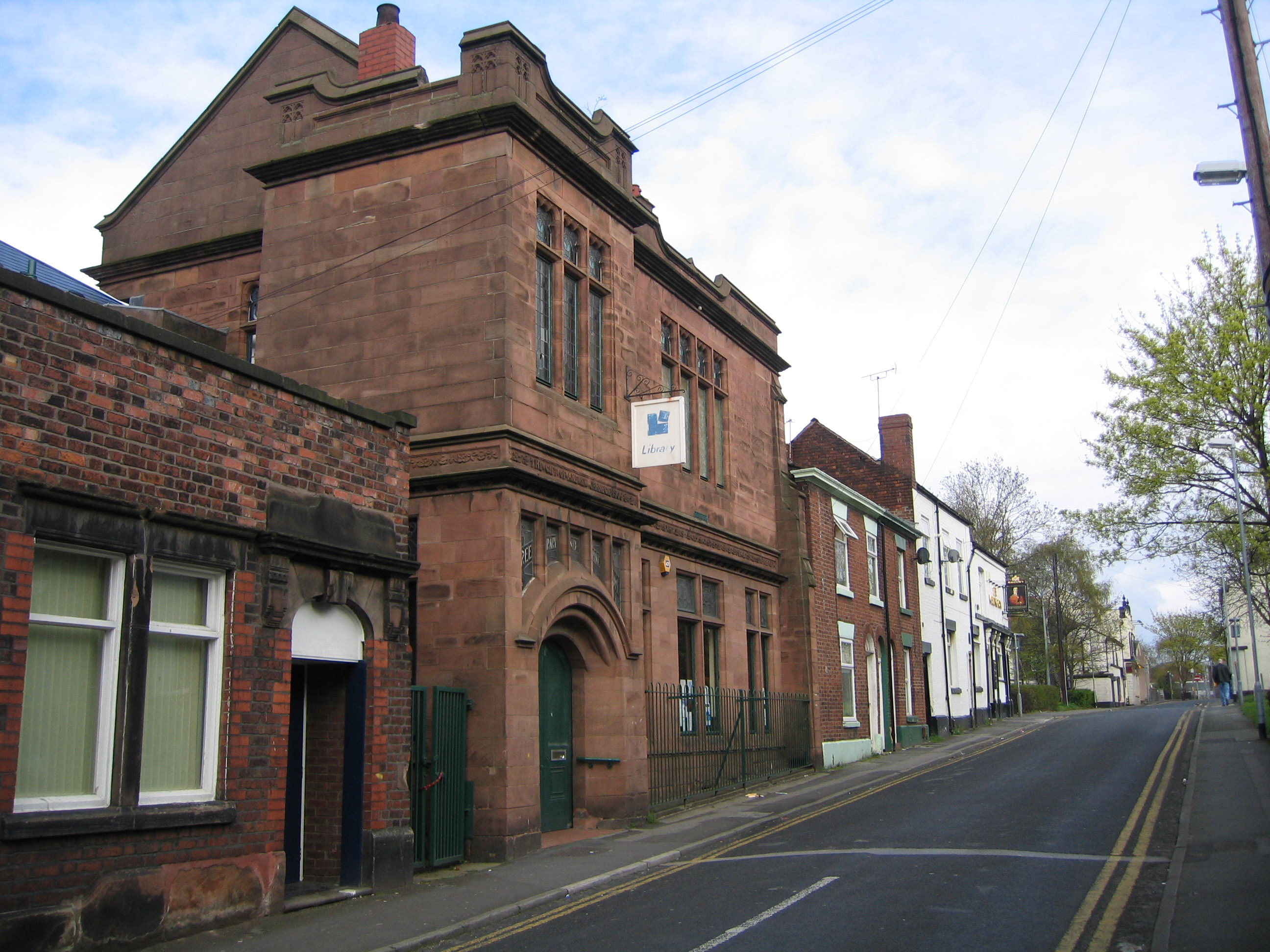
Carnegie Library, Runcorn
The Carnegie Library is in Egerton Street, Runcorn, Cheshire, England. It is recorded in the National Heritage List for England as a designated Grade...
Nearby Amenities
Located within 500m of 53.34408,-2.729963Have you been to Bank, West?
Leave your review of Bank, West below (or comments, questions and feedback).