West Balmirmer

Settlement in Angus

Scotland

West Balmirmer

Roe Deer Three roes watch me warily as I approach, but, unusually, they didn't turn and flee.
Roe Deer Credit: Anne Burgess

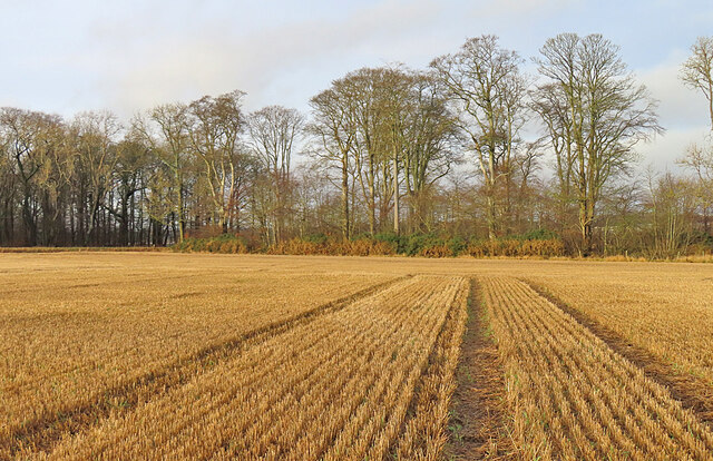
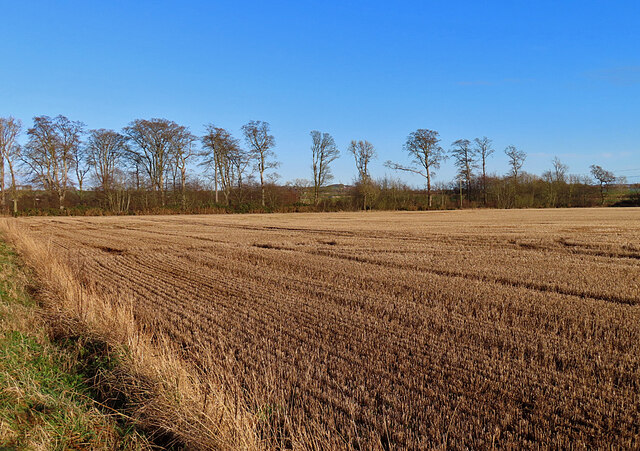
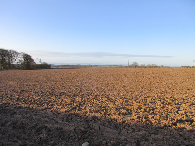
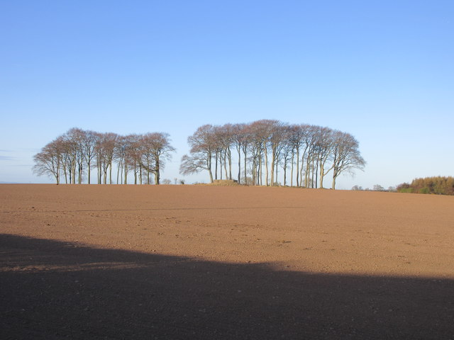
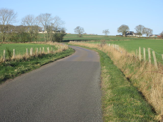
West Balmirmer is a small rural settlement located in the county of Angus, Scotland. Situated in the eastern part of the country, it is nestled between the larger towns of Forfar and Brechin. The village is characterized by its picturesque countryside surroundings, with rolling hills and farmland dominating the landscape.

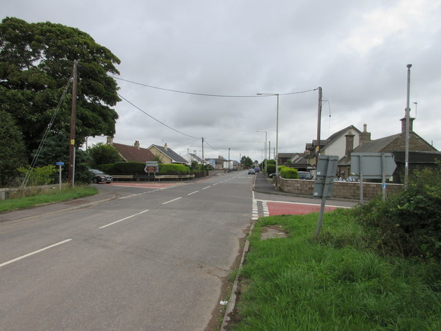
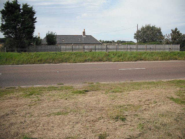
With a population of around 200 residents, West Balmirmer retains a tight-knit community atmosphere. The village primarily consists of traditional stone-built houses, many of which have been standing for centuries. The architecture reflects the rich history of the area, with some buildings dating back to the 18th century.

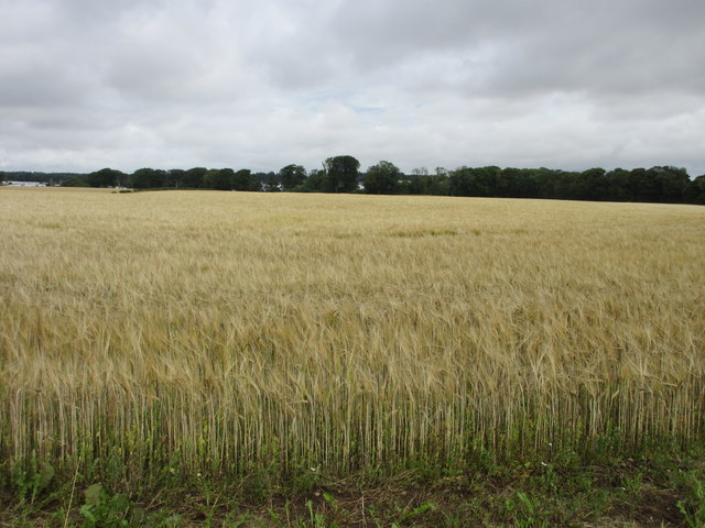
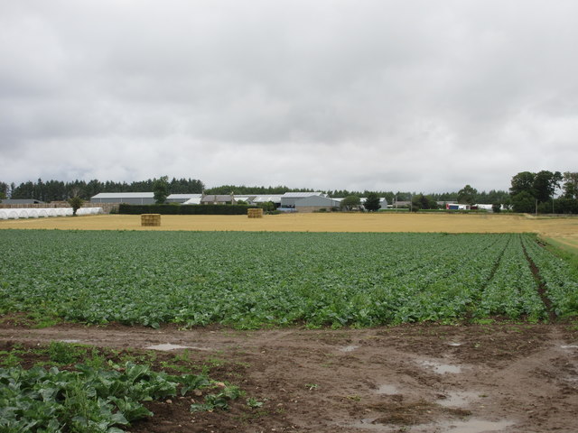
The economy of West Balmirmer is predominantly agrarian, with agriculture playing a central role in the lives of its inhabitants. The fertile soil and favorable climate make it an ideal location for farming, and various crops such as barley, wheat, and potatoes are cultivated in the surrounding fields. Livestock farming, particularly sheep rearing, is also a significant part of the local economy.

The village lacks major commercial establishments, but basic amenities such as a small convenience store, a post office, and a community hall cater to the needs of the residents. For additional services, the nearby towns of Forfar and Brechin offer a wider range of shops, schools, and medical facilities.

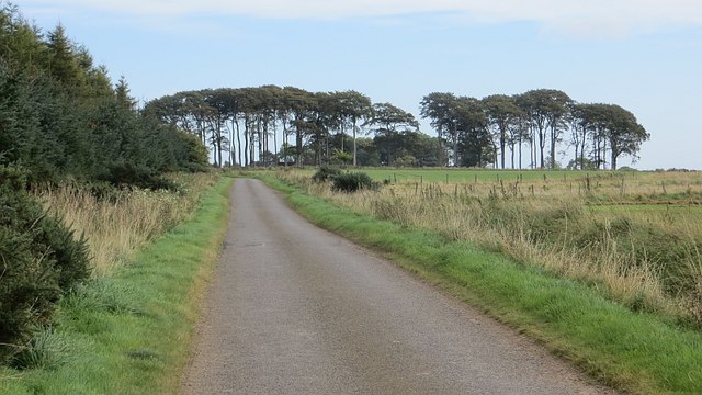
West Balmirmer is renowned for its natural beauty and tranquil atmosphere, attracting visitors who enjoy exploring the surrounding countryside and taking in the stunning views. Walking and cycling trails provide opportunities for outdoor activities, while the village's proximity to the Angus Glens and the Cairngorms National Park offers further recreational possibilities.

Overall, West Balmirmer is a peaceful and charming rural settlement, offering a serene lifestyle amidst Scotland's picturesque countryside.

If you have any feedback on the listing, please let us know in the comments section below.

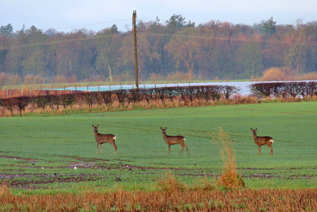
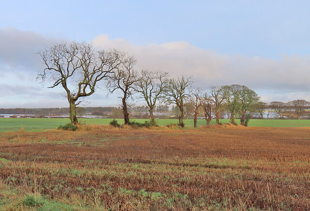
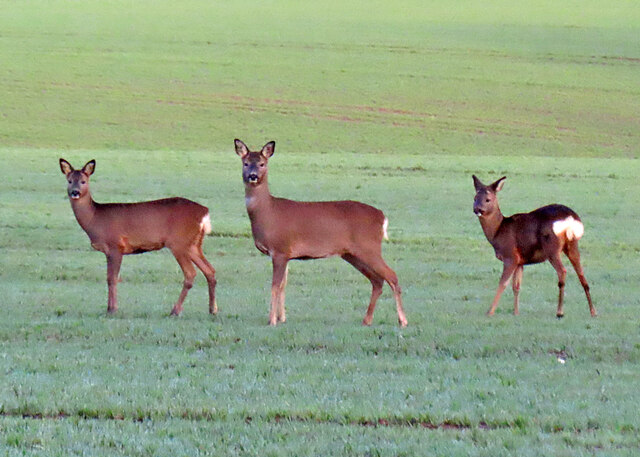
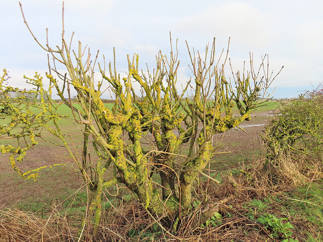
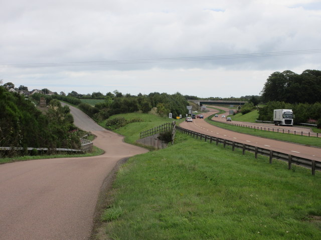
West Balmirmer Images

Images are sourced within 2km of 56.53204/-2.7006833 or Grid Reference NO5738. Thanks to Geograph Open Source API. All images are credited.

Roe Deer Three roes watch me warily as I approach, but, unusually, they didn't turn and flee.
Roe Deer
Three roes watch me warily as I approach, but, unusually, they didn't turn and flee.
Field Boundary A row of trees marks the boundary of two fields at Carlogie.
Field Boundary
A row of trees marks the boundary of two fields at Carlogie.
Roe Deer Still watching me, two minutes after <a href="https://www.geograph.org.uk/photo/7680705">NO5536 : Roe Deer</a>.
Roe Deer
Still watching me, two minutes after NO5536 : Roe Deer.
Pollarded Ash This bush is in the hedgerow beside the road, and has been so often mangled by brush-cutters that its shape bers no resemblance to a natural ash tree.
Pollarded Ash
This bush is in the hedgerow beside the road, and has been so often mangled by brush-cutters that its shape bers no resemblance to a natural ash tree.
Stubble Field Parallel rows of stubble lead the eye towards the shelter belt on the north side of the field.
Stubble Field
Parallel rows of stubble lead the eye towards the shelter belt on the north side of the field.
Stubble Field A field awaiting ploughing and seeding in the coming spring.
Stubble Field
A field awaiting ploughing and seeding in the coming spring.
Balbinnie A minor road alongside Balbinnie Wood.
Balbinnie
A minor road alongside Balbinnie Wood.
Approaching A92 underpass at Salmond's Muir On minor road from East Haven.
Approaching A92 underpass at Salmond's Muir
On minor road from East Haven.
A92 underpass at Salmond's Muir On minor road from East Haven.
A92 underpass at Salmond's Muir
On minor road from East Haven.
Winter cereals, West Balmirmer
Field of barley Barley field viewed from the right-angled bend on the A930 between Carnoustie and Muirdrum.
Field of barley
Barley field viewed from the right-angled bend on the A930 between Carnoustie and Muirdrum.
Old A92, Muirdrum The old A92 heading eastwards at Muirdrum.
Old A92, Muirdrum
The old A92 heading eastwards at Muirdrum.
Auchrennie Farm The farm at Auchrennie viewed from the old A92 road west of Muirdrum.
Auchrennie Farm
The farm at Auchrennie viewed from the old A92 road west of Muirdrum.
The old and new A92 The A92 dual-carriageway on the right of the old route, west of Muirdrum.
The old and new A92
The A92 dual-carriageway on the right of the old route, west of Muirdrum.
Field at West Balmirmer Ploughed field at West Balmirmer, looking southwards towards Carnoustie and the coast.
Field at West Balmirmer
Ploughed field at West Balmirmer, looking southwards towards Carnoustie and the coast.
Copse near Fauldiehill Copse in a field to the west of Fauldiehill.
Copse near Fauldiehill
Copse in a field to the west of Fauldiehill.
Road heading to Bonnyton Smiddy The minor road heading west, with Bonnyton Smiddy in the distance to the right.
Road heading to Bonnyton Smiddy
The minor road heading west, with Bonnyton Smiddy in the distance to the right.
East Balmirmer A distant view of East Balmirmer from the A92 to the south.
East Balmirmer
A distant view of East Balmirmer from the A92 to the south.
Show me another place!

West Balmirmer is located at Grid Ref: NO5738 (Lat: 56.53204, Lng: -2.7006833)

Unitary Authority: Angus

Police Authority: Tayside

What 3 Words

///motivates.decking.barrel. Near Carnoustie, Angus

Related Wikis

Salmond's Muir

Salmond's Muir is a hamlet in the council area of Angus, Scotland. It is situated 2 miles (3 km) north-east of Carnoustie and 4 miles (6 km) west of Arbroath...

Muirdrum

Muirdrum () is a small village in the council area of Angus, Scotland. It is situated at the junction of the old A92 road from Dundee to Arbroath, the...

Balmirmer

Balmirmer is a hamlet in the council area of Angus, Scotland. It is situated 2 miles (3 km) north-east of Carnoustie and 4 miles (6 km) west of Arbroath...

Panbride

Panbride is a village and civil parish in the council area of Angus, Scotland. It is situated 0.5 miles (1 km) north-east of Carnoustie and 6 miles (10...

Carlogie

Carlogie is a hamlet in Angus, Scotland. It lies approximately half a mile north of Carnoustie on the A930 road. Carlogie House was erected in 1854 as...

RNAS East Haven (HMS Peewit)

Royal Naval Air Station East Haven (RNAS East Haven, also known as HMS Peewit) is a former Royal Navy, Fleet Air Arm station, situated 3 miles (5 km) south...

East Haven, Angus

East Haven is a fishing village in the council area of Angus, Scotland. It is situated 1.5 miles (2 km) east of Carnoustie and 5 miles (8 km) south west...

Easthaven railway station

Easthaven railway station served the village of East Haven, Angus, Scotland from 1838 to 1967 on the Dundee and Arbroath Railway. == History == The station...

Nearby Amenities

Located within 500m of 56.53204,-2.7006833
Bus Stop
Scryne Road End
Naptan AtcoCode: 6490IM652
Naptan Bearing: NE
Naptan CommonName: Scryne Road End
Naptan Indicator: Eastbound
Naptan Landmark: Scryne Road End
Naptan NaptanCode: 26425684
Naptan Street: A92
Naptan Verified: no
Source: naptan_import
Lat/Long: 56.52862/-2.6957516
Power: pole
Lat/Long: 56.5279136/-2.6986778
Power: pole
Lat/Long: 56.5286326/-2.6975995
Power: pole
Lat/Long: 56.5294891/-2.6963174
Power: pole
Lat/Long: 56.530313/-2.6951185
Power: pole
Lat/Long: 56.5310926/-2.6939705
Power: pole
Lat/Long: 56.5318529/-2.6928413
Power: pole
Lat/Long: 56.5335247/-2.698621
Power: pole
Lat/Long: 56.53326/-2.6991356
Power: pole
Lat/Long: 56.5326961/-2.7004068
Power: pole
Lat/Long: 56.5322443/-2.7011721
Power: pole
Lat/Long: 56.5319569/-2.7017947
Power: pole
Lat/Long: 56.5316028/-2.7025449
Power: pole
Lat/Long: 56.5312821/-2.7032324
Power: pole
Lat/Long: 56.531021/-2.7037772
Power: pole
Lat/Long: 56.5307051/-2.7044582
Power: pole
Lat/Long: 56.5304022/-2.7050981
Power: pole
Lat/Long: 56.5299957/-2.7056256
Power: pole
Lat/Long: 56.5296237/-2.7063412
Power: pole
Lat/Long: 56.5293065/-2.706979
The data included in this document is from www.openstreetmap.org. The data is made available under ODbL.

Have you been to West Balmirmer?

Leave your review of West Balmirmer below (or comments, questions and feedback).