Sparrowmuir Wood

Wood, Forest in Angus

Scotland

Sparrowmuir Wood

Track near to Easter Knox and Knox Hill Looking north-westward.
Track near to Easter Knox and Knox Hill Credit: Peter Wood

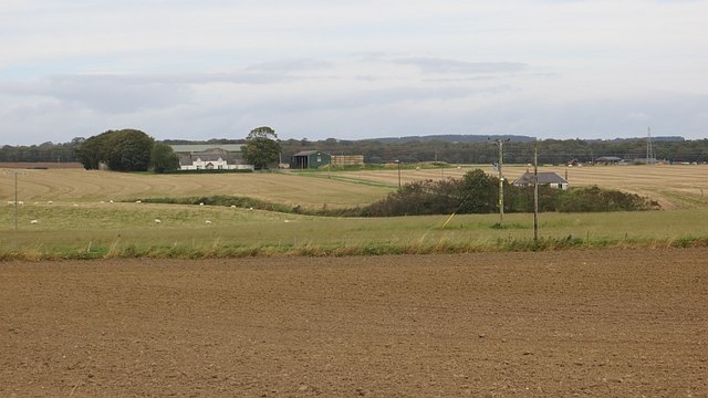
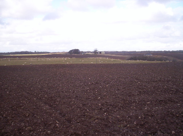
Sparrowmuir Wood is a picturesque woodland located in the Angus region of Scotland. Covering an area of approximately 50 hectares, it is a diverse and vibrant habitat for various flora and fauna species. The woodland is easily accessible, situated just off the A94 road, and offers visitors a tranquil and peaceful environment to explore.

The wood is predominantly comprised of native broadleaf trees, such as oak, birch, and beech, which create a dense canopy providing shade and shelter for the forest floor below. The undergrowth is abundant with a variety of plant species including bluebells, wood sorrel, and wild garlic, which flourish during the spring and summer months, adding vibrant colors to the scenery.

Sparrowmuir Wood is home to a rich and diverse range of wildlife. Visitors may encounter red squirrels darting among the branches, and if lucky, may spot roe deer grazing quietly in the distance. The wood is also a haven for birdwatchers, as it attracts a multitude of bird species, including woodpeckers, jays, and various songbirds.

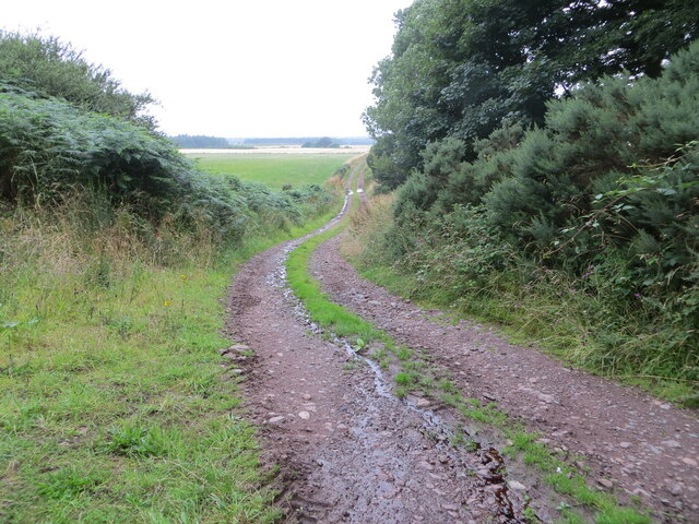
Walking trails wind their way through the woodland, offering visitors the chance to explore its beauty at their own pace. The paths are well-maintained, making it suitable for both casual strolls and more adventurous hikes. Picnic areas and benches are scattered throughout the wood, providing visitors with opportunities to rest and take in the serene surroundings.

Sparrowmuir Wood is a true gem in the Angus countryside, offering a delightful escape from the hustle and bustle of daily life. With its stunning scenery, diverse wildlife, and accessible trails, it is an ideal destination for nature lovers and outdoor enthusiasts alike.

If you have any feedback on the listing, please let us know in the comments section below.

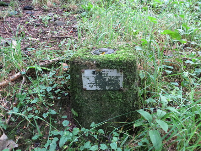
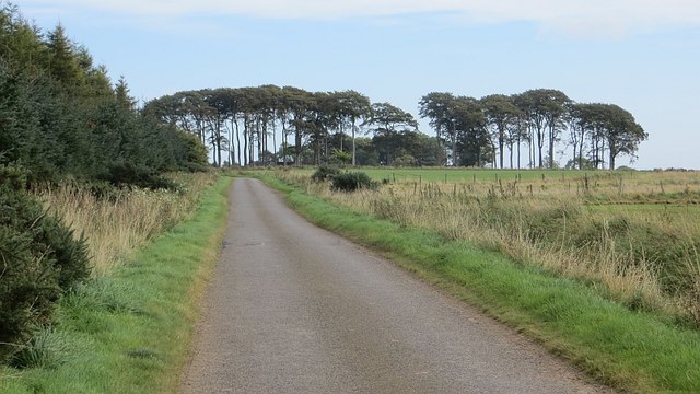
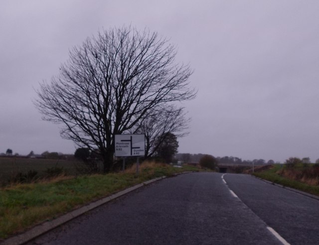
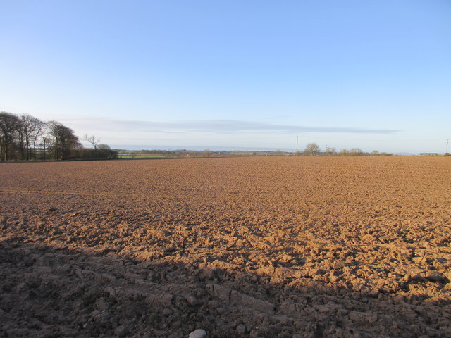
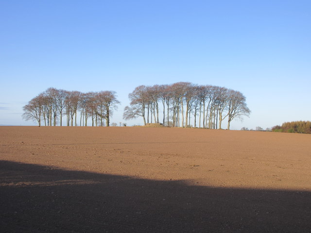
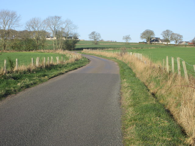
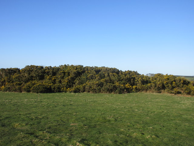
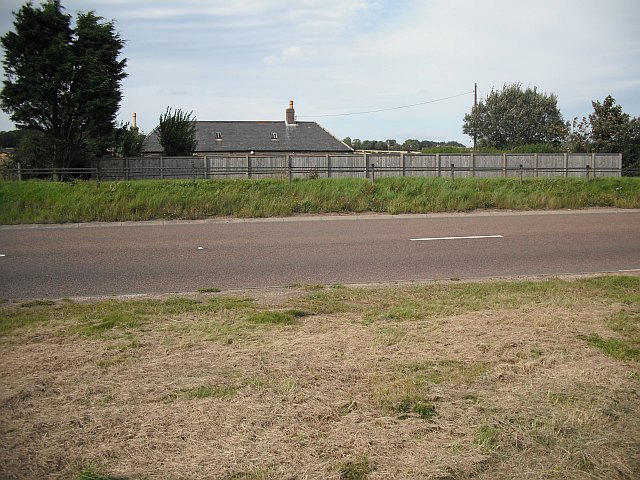
Sparrowmuir Wood Images

Images are sourced within 2km of 56.5383/-2.6897905 or Grid Reference NO5738. Thanks to Geograph Open Source API. All images are credited.

Track near to Easter Knox and Knox Hill Looking north-westward.
Track near to Easter Knox and Knox Hill
Looking north-westward.
Ordnance Survey Fundamental Bench Mark This can be found in woodland near to Easter Knox.
The recorded details give a height of 89.8 metres above sea level.
For more detail see :<span class="nowrap"><a title="https://www.bench-marks.org.uk/bm997" rel="nofollow ugc noopener" href="https://www.bench-marks.org.uk/bm997">Link</a><img style="margin-left:2px;" alt="External link" title="External link - shift click to open in new window" src="https://s1.geograph.org.uk/img/external.png" width="10" height="10"/></span>
Ordnance Survey Fundamental Bench Mark
This can be found in woodland near to Easter Knox. The recorded details give a height of 89.8 metres above sea level. For more detail see :LinkExternal link
Minor road at Airbirlot Primary School Looking eastward.
Minor road at Airbirlot Primary School
Looking eastward.
Greenford Hilltop arable land on the eastern tail of the Sidlaw Hills.
Greenford
Hilltop arable land on the eastern tail of the Sidlaw Hills.
Track to Nowhere This track runs between Arbirlot Primary School and Easter Knox. It leads nowhere and is used to access fields behind the school and farm.
Track to Nowhere
This track runs between Arbirlot Primary School and Easter Knox. It leads nowhere and is used to access fields behind the school and farm.
Balbinnie A minor road alongside Balbinnie Wood.
Balbinnie
A minor road alongside Balbinnie Wood.
Approaching A92 underpass at Salmond's Muir On minor road from East Haven.
Approaching A92 underpass at Salmond's Muir
On minor road from East Haven.
A92 underpass at Salmond's Muir On minor road from East Haven.
A92 underpass at Salmond's Muir
On minor road from East Haven.
A92 at Nether Kelly
A92 at Nether Kelly
Hatton Farm
Hatton Farm
Track at Hatton Farm leading to disused airfield The building to the right of the image has the look of a disused military building.
Track at Hatton Farm leading to disused airfield
The building to the right of the image has the look of a disused military building.
Winter cereals, West Balmirmer
Field at West Balmirmer Ploughed field at West Balmirmer, looking southwards towards Carnoustie and the coast.
Field at West Balmirmer
Ploughed field at West Balmirmer, looking southwards towards Carnoustie and the coast.
Copse near Fauldiehill Copse in a field to the west of Fauldiehill.
Copse near Fauldiehill
Copse in a field to the west of Fauldiehill.
Road heading to Bonnyton Smiddy The minor road heading west, with Bonnyton Smiddy in the distance to the right.
Road heading to Bonnyton Smiddy
The minor road heading west, with Bonnyton Smiddy in the distance to the right.
Gorse on Knox Hill Gorse covered hillock on the summit area of Knox Hill. The triangulation pillar is situated within the bushes towards the centre of the photograph.
Gorse on Knox Hill
Gorse covered hillock on the summit area of Knox Hill. The triangulation pillar is situated within the bushes towards the centre of the photograph.
Arbirlot Primary School Arbirlot Primary School viewed from the roadside to the south.
Arbirlot Primary School
Arbirlot Primary School viewed from the roadside to the south.
Show me another place!

Sparrowmuir Wood is located at Grid Ref: NO5738 (Lat: 56.5383, Lng: -2.6897905)

Unitary Authority: Angus

Police Authority: Tayside

What 3 Words

///branded.driveways.allowable. Near Carnoustie, Angus

Related Wikis

Balmirmer

Balmirmer is a hamlet in the council area of Angus, Scotland. It is situated 2 miles (3 km) north-east of Carnoustie and 4 miles (6 km) west of Arbroath...

Salmond's Muir

Salmond's Muir is a hamlet in the council area of Angus, Scotland. It is situated 2 miles (3 km) north-east of Carnoustie and 4 miles (6 km) west of Arbroath...

Muirdrum

Muirdrum () is a small village in the council area of Angus, Scotland. It is situated at the junction of the old A92 road from Dundee to Arbroath, the...

RNAS East Haven (HMS Peewit)

Royal Naval Air Station East Haven (RNAS East Haven, also known as HMS Peewit) is a former Royal Navy, Fleet Air Arm station, situated 3 miles (5 km) south...

Nearby Amenities

Located within 500m of 56.5383,-2.6897905
Balmirmer
Place: hamlet
Wikidata: Q513803
Wikipedia: en:Balmirmer
Lat/Long: 56.5398382/-2.6856073
Power: pole
Lat/Long: 56.5341958/-2.6886517
Power: pole
Lat/Long: 56.5346691/-2.6873481
Power: pole
Lat/Long: 56.5353036/-2.6856557
Power: pole
Lat/Long: 56.535876/-2.6841268
Power: pole
Lat/Long: 56.5363463/-2.682901
Power: pole
Lat/Long: 56.5341863/-2.6900707
Power: pole
Lat/Long: 56.5347765/-2.6905485
Power: pole
Lat/Long: 56.5353785/-2.6910587
Power: pole
Lat/Long: 56.5359722/-2.6915321
Power: pole
Lat/Long: 56.5365956/-2.692051
Power: pole
Lat/Long: 56.5372298/-2.6925828
Power: pole
Lat/Long: 56.5378413/-2.6930995
Power: pole
Lat/Long: 56.5384457/-2.6936011
Power: pole
Lat/Long: 56.5389952/-2.6940659
Power: pole
Lat/Long: 56.5406116/-2.6839265
Power: pole
Lat/Long: 56.5401002/-2.6850269
Power: pole
Lat/Long: 56.5396377/-2.6860063
Power: pole
Lat/Long: 56.5394673/-2.6874504
Power: pole
Lat/Long: 56.5393147/-2.6887022
Power: pole
Lat/Long: 56.5391704/-2.6913678
Power: pole
Lat/Long: 56.5390739/-2.6927298
Power: pole
Lat/Long: 56.538994/-2.6953717
Power: pole
Lat/Long: 56.5390071/-2.6966991
Power: pole
Lat/Long: 56.5390083/-2.6978233
The data included in this document is from www.openstreetmap.org. The data is made available under ODbL.

Have you been to Sparrowmuir Wood?

Leave your review of Sparrowmuir Wood below (or comments, questions and feedback).