West Bank
Settlement in Lancashire
England
West Bank
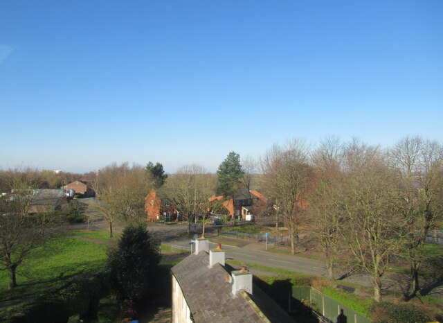
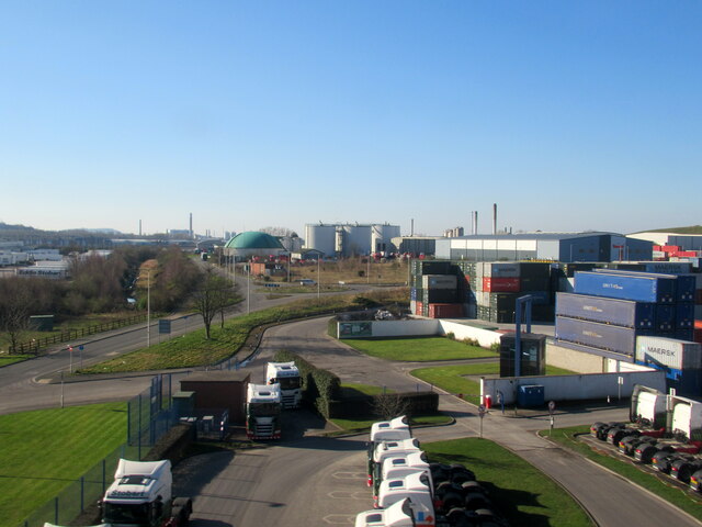
West Bank is a small village located in the county of Lancashire, England. It is situated approximately 1.5 miles north of the town of Blackburn, within the Blackburn with Darwen unitary authority. West Bank is part of the larger Ewood district and is bordered by the Leeds and Liverpool Canal to the west.
The village has a long history, dating back to at least the 19th century when it was primarily an industrial area with cotton mills and factories. However, with the decline of the textile industry, West Bank has transformed into a predominantly residential area, known for its quiet and peaceful atmosphere.
Housing in West Bank consists mainly of terraced houses and semi-detached properties, with a mix of older buildings and more modern developments. The village is home to a close-knit community, with amenities including a local primary school, a post office, and several small shops and businesses.
While West Bank itself does not have any major tourist attractions, it benefits from its proximity to Blackburn, which offers a wider range of amenities and attractions. The nearby Witton Country Park provides opportunities for outdoor activities, including walking, jogging, and picnicking.
West Bank benefits from good transport links, with the M65 motorway just a short drive away, connecting the village to other major towns and cities in the region. The nearest railway station is in Blackburn, providing access to the national rail network.
Overall, West Bank offers a peaceful residential environment with easy access to amenities and nearby towns, making it an attractive place to live for those seeking a quieter lifestyle within close proximity to urban areas.
If you have any feedback on the listing, please let us know in the comments section below.
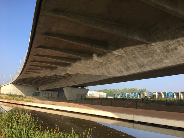
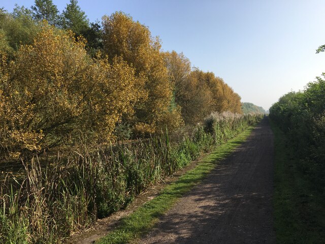
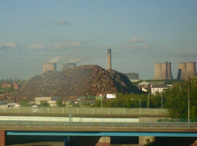
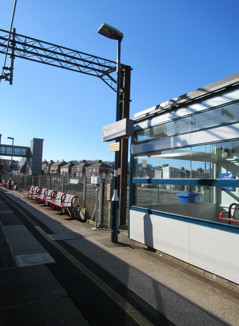
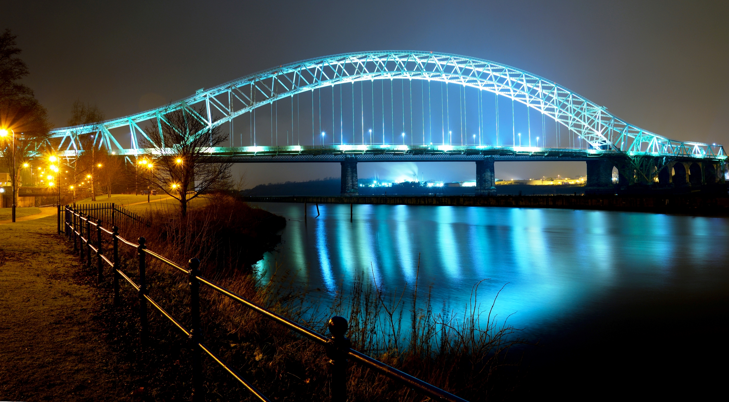
West Bank Images
Images are sourced within 2km of 53.34408/-2.729963 or Grid Reference SJ5183. Thanks to Geograph Open Source API. All images are credited.
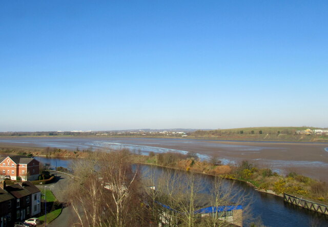
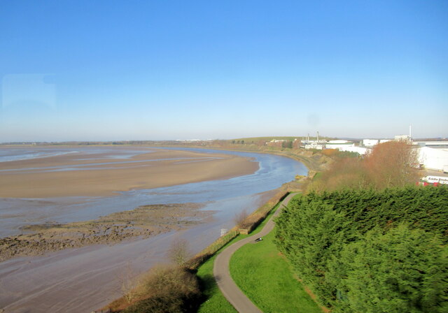
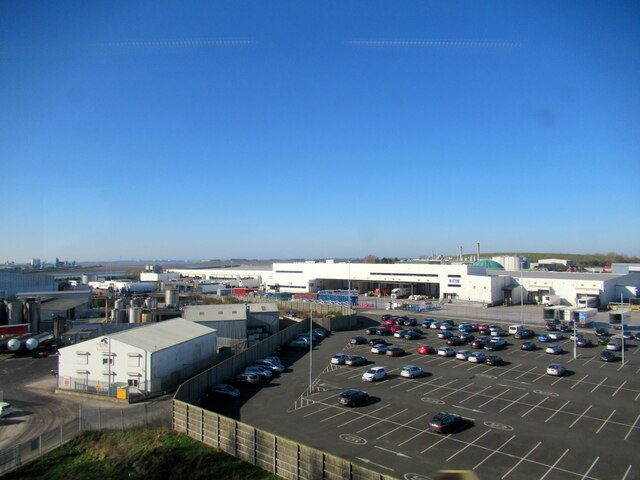


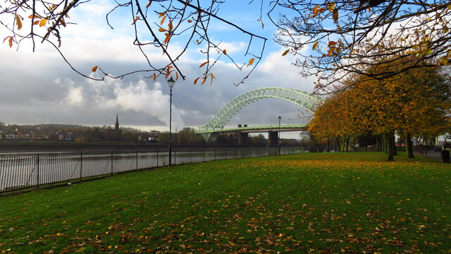

West Bank is located at Grid Ref: SJ5183 (Lat: 53.34408, Lng: -2.729963)
Unitary Authority: Halton
Police Authority: Cheshire
What 3 Words
///task.dose.camps. Near Runcorn, Cheshire
Nearby Locations
Related Wikis

Holy Trinity Church, Runcorn
Holy Trinity Church is in Runcorn, Cheshire, England. It is an active Anglican parish church in the diocese of Chester, the archdeaconry of Chester and...
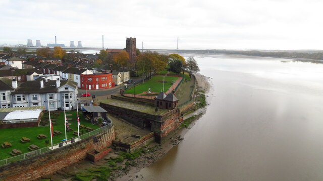
Runcorn
Runcorn is an industrial town and cargo port in the Borough of Halton, Cheshire, England. Its population in 2021 was 62,100. Runcorn is on the southern...

Runcorn Urban District
Runcorn Urban District was an urban district centred around the town of Runcorn in Cheshire, England from 1894 until 1974.The district was abolished in...

The Brindley
The Brindley is a theatre in the town of Runcorn, Cheshire, England. Located by the Bridgewater Canal, the centre is named after the canal's engineer,...

All Saints' Church, Runcorn
All Saints' Church is the parish church of Runcorn, Cheshire, England, sited on the south bank of the River Mersey overlooking Runcorn Gap. There is a...

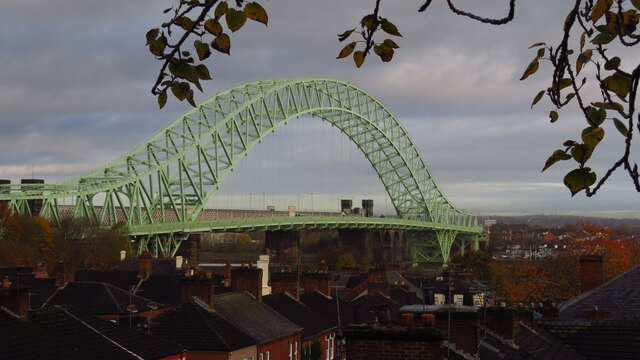
Widnes–Runcorn Transporter Bridge
The Widnes–Runcorn Transporter Bridge crossed the river Mersey and Manchester Ship Canal linking the towns of Runcorn and Widnes. Completed in 1905,...

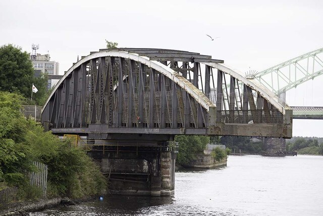
Old Quay Bridge
Old Quay Bridge is a Grade II listed swing bridge in Runcorn, England. == History == Old Quay Bridge is a swing bridge across the Manchester Ship Canal...
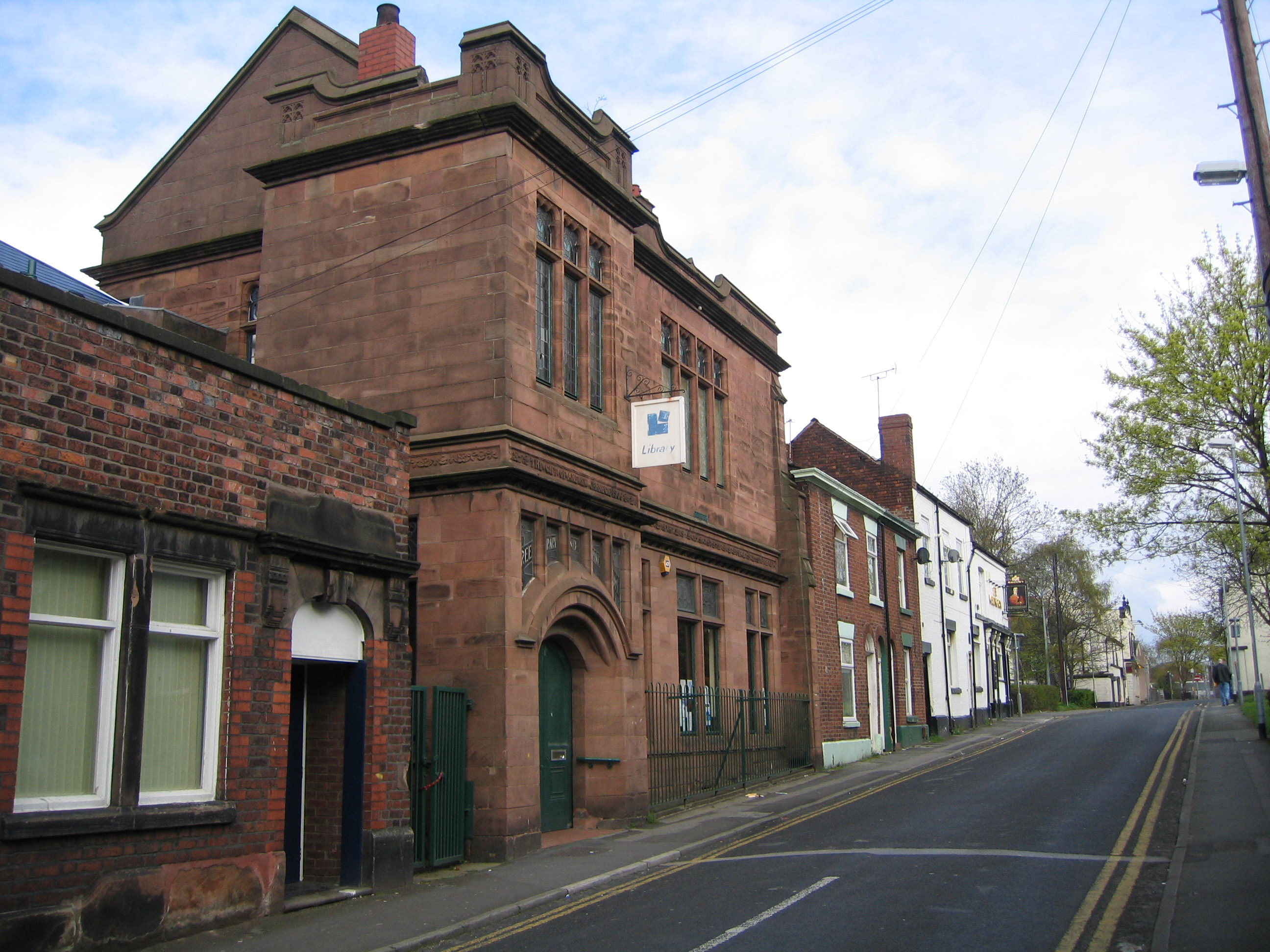
Carnegie Library, Runcorn
The Carnegie Library is in Egerton Street, Runcorn, Cheshire, England. It is recorded in the National Heritage List for England as a designated Grade...
Nearby Amenities
Located within 500m of 53.34408,-2.729963Have you been to West Bank?
Leave your review of West Bank below (or comments, questions and feedback).