Appleton, West
Settlement in Yorkshire Richmondshire
England
Appleton, West
Appleton, West, Yorkshire is a small village located in the northern region of England. Situated in the district of West Yorkshire, it is nestled within the picturesque countryside of the Yorkshire Dales National Park. With a population of around 500 residents, Appleton is known for its tranquil and close-knit community.
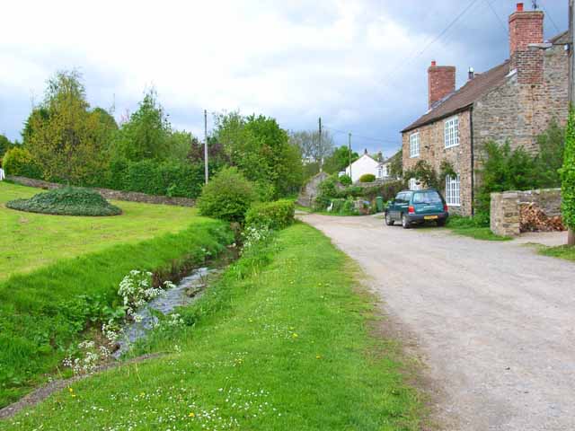
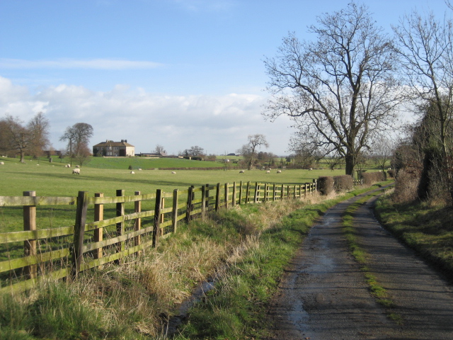
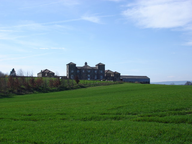
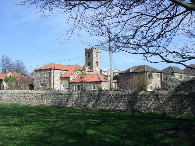
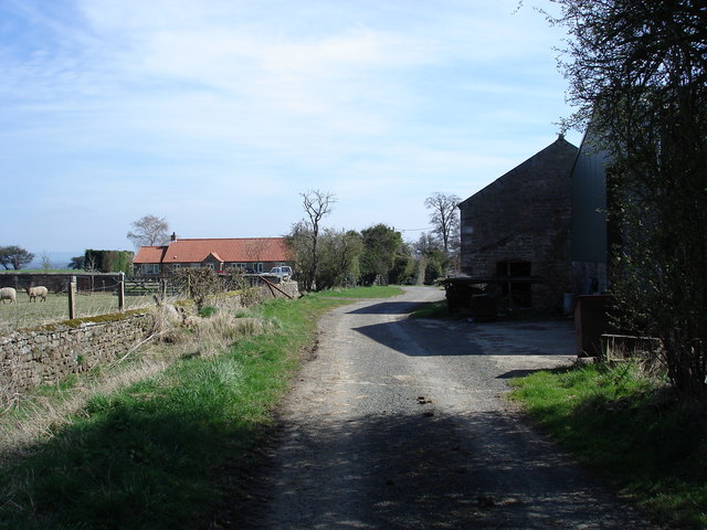
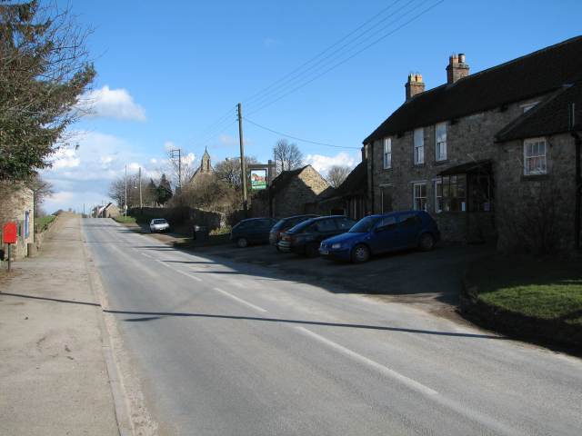
The village of Appleton is characterized by its charming stone houses and traditional architecture, which add to its rural charm. Surrounded by rolling hills and lush green valleys, the landscape offers breathtaking views for residents and visitors alike. A notable feature of the village is the village green, a central gathering place where residents often engage in community events and activities.
Despite its small size, Appleton offers a range of amenities to cater to the needs of its residents. The village boasts a well-maintained primary school, a local pub, and a post office, providing essential services within easy reach. Additionally, the village is well-connected to nearby towns and cities, with good transportation links facilitating easy travel for those commuting to work or seeking recreational activities.
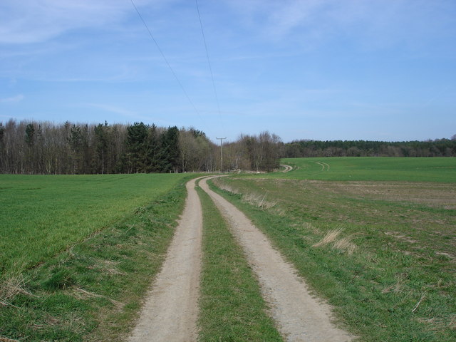
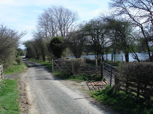
Nature enthusiasts are drawn to Appleton due to its proximity to the Yorkshire Dales, which provide ample opportunities for outdoor activities such as hiking, cycling, and birdwatching. The village also benefits from its location near several historic sites and attractions, including medieval castles, stately homes, and ancient ruins, offering a glimpse into the region's rich history.
Overall, Appleton, West, Yorkshire is a peaceful and idyllic village that offers a serene lifestyle amidst the beauty of the Yorkshire Dales.
If you have any feedback on the listing, please let us know in the comments section below.
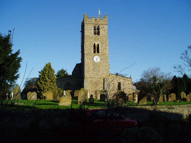
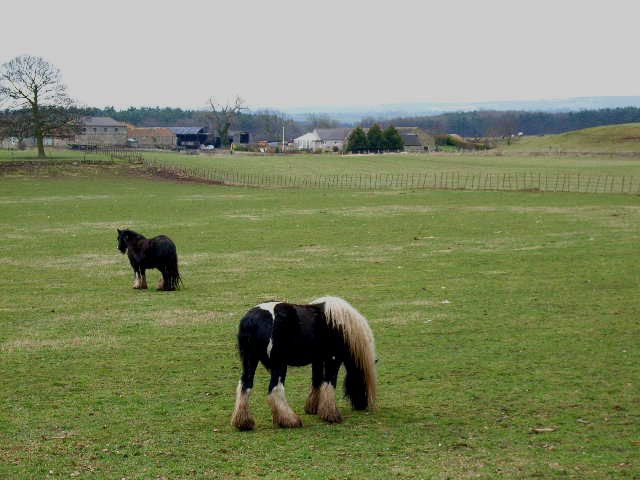
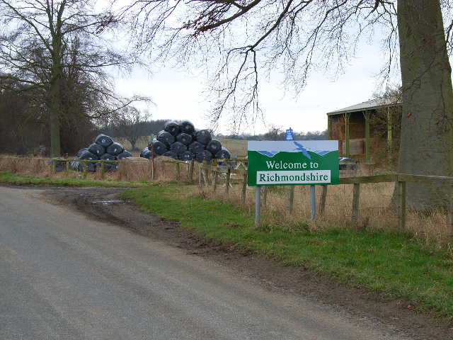
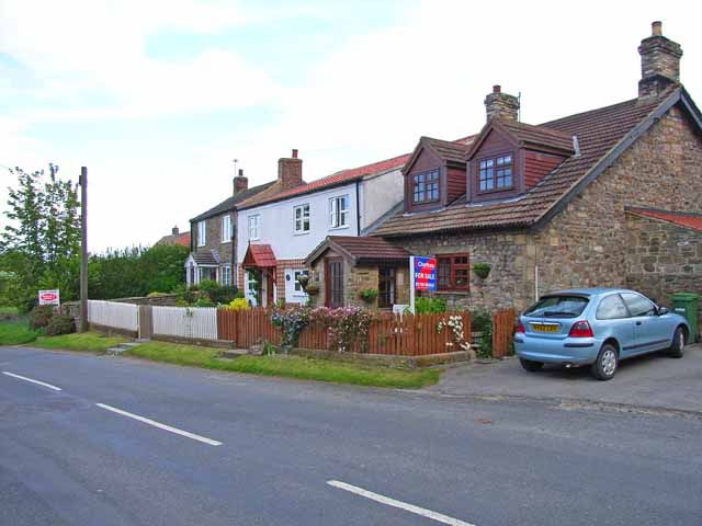
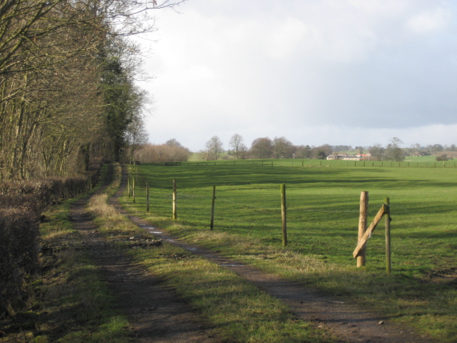
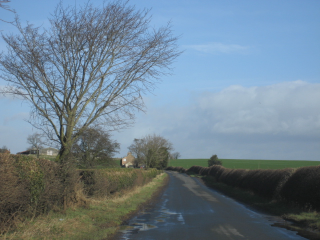
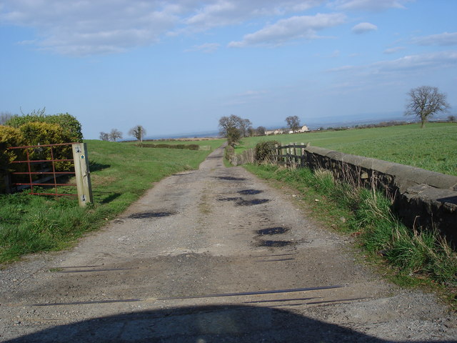
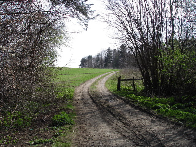
Appleton, West Images
Images are sourced within 2km of 54.344395/-1.655454 or Grid Reference SE2294. Thanks to Geograph Open Source API. All images are credited.

Appleton, West is located at Grid Ref: SE2294 (Lat: 54.344395, Lng: -1.655454)
Division: North Riding
Administrative County: North Yorkshire
District: Richmondshire
Police Authority: North Yorkshire
What 3 Words
///deluded.genius.cost. Near Catterick, North Yorkshire
Nearby Locations
Related Wikis

Hornby Castle, North Yorkshire
Hornby Castle is a grade I listed fortified manor house on the edge of Wensleydale between Bedale and Leyburn, in the county of North Yorkshire, England...

Hornby, Richmondshire
Hornby is a small village and civil parish located about 4 miles (6.4 km) north-west of Bedale. It is part of the non-metropolitan district of Richmondshire...

Church of St Mary the Virgin, Hornby
St Mary's Church Hornby, is the parish church for the village of Hornby, Richmondshire in North Yorkshire, England. The church is one of six in the Benefice...

Appleton East and West
Appleton East and West is a civil parish in the Richmondshire district of North Yorkshire, England. It contains the villages East Appleton and West Appleton...
East Appleton
East Appleton is a hamlet in North Yorkshire, England. The poet Richard Braithwaite lived there on his estate, and was buried in the parish church. Roger...
Tunstall, North Yorkshire
Tunstall is a village and civil parish in the Richmondshire district of North Yorkshire, England about 2 miles (3.2 km) west of Catterick Village and the...

Hackforth
Hackforth is a small village and civil parish in the Hambleton district of North Yorkshire, England, about 4 miles (6 km) north of Bedale. Nearby settlements...

Arrathorne
Arrathorne is a hamlet and civil parish in the former Richmondshire district of North Yorkshire, England. The settlement is 6 miles (9 km) south of Richmond...
Nearby Amenities
Located within 500m of 54.344395,-1.655454Have you been to Appleton, West?
Leave your review of Appleton, West below (or comments, questions and feedback).