West Appleton
Settlement in Yorkshire Richmondshire
England
West Appleton
West Appleton is a picturesque village located in the heart of Yorkshire, England. Situated on the banks of the River Aire, it is known for its charming countryside landscapes and rich historical heritage. With a population of around 1,500 residents, West Appleton offers a close-knit community atmosphere that is cherished by both locals and visitors alike.
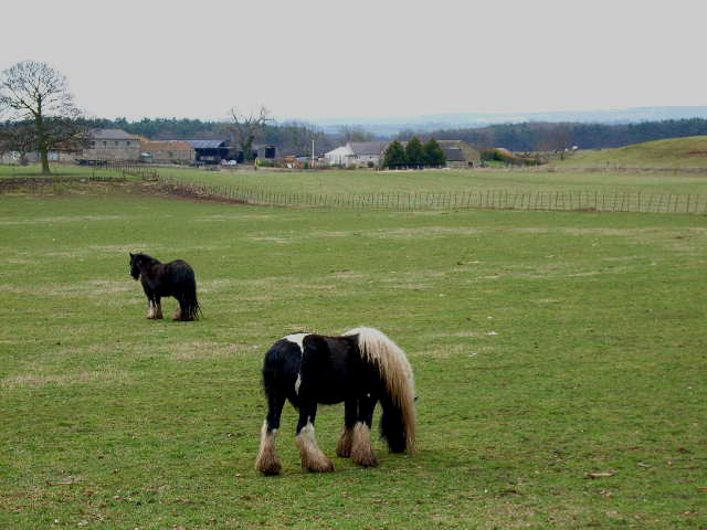
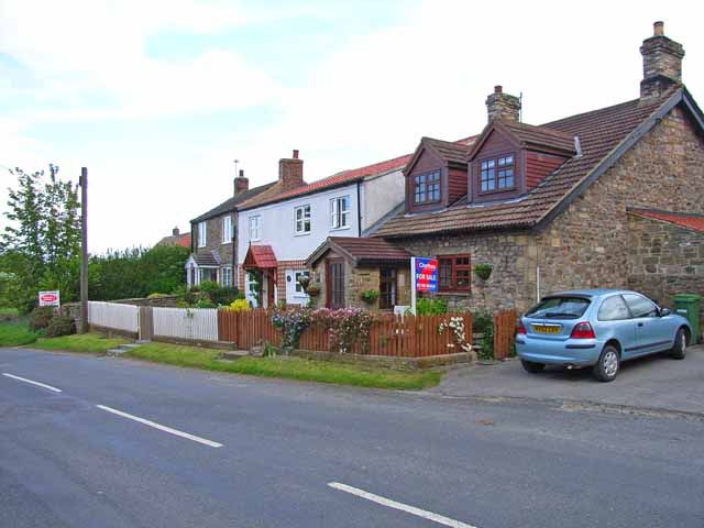
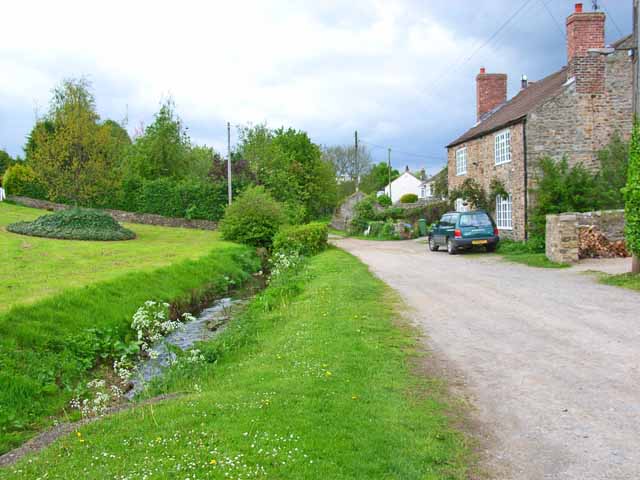
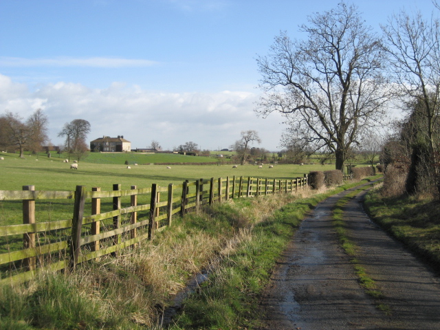
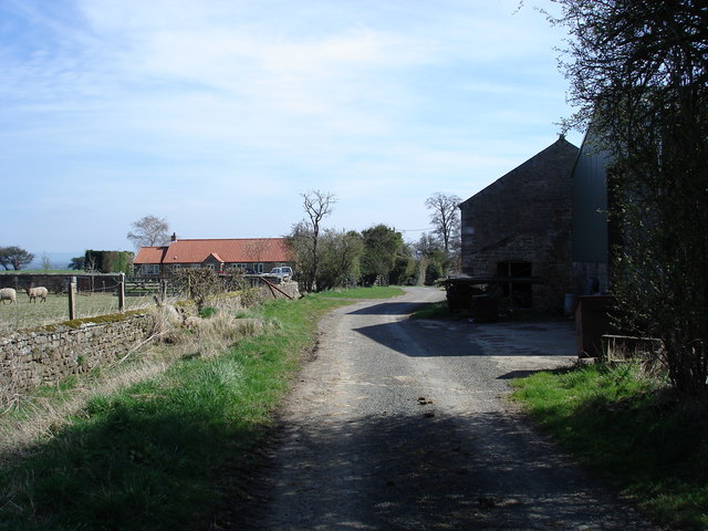
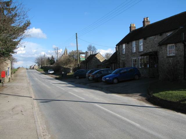
The village is characterized by its traditional stone-built houses and quaint cottages, giving it a timeless charm. The surrounding countryside is dotted with lush green fields and rolling hills, making it a haven for nature enthusiasts and outdoor lovers. The River Aire also provides opportunities for boating, fishing, and leisurely walks along its banks.
West Appleton boasts a number of amenities to cater to the needs of its residents. The village has a primary school, a local pub, a post office, and a convenience store, ensuring that basic necessities are easily accessible. Additionally, a range of small businesses, including cafes and boutiques, can be found in the village center.
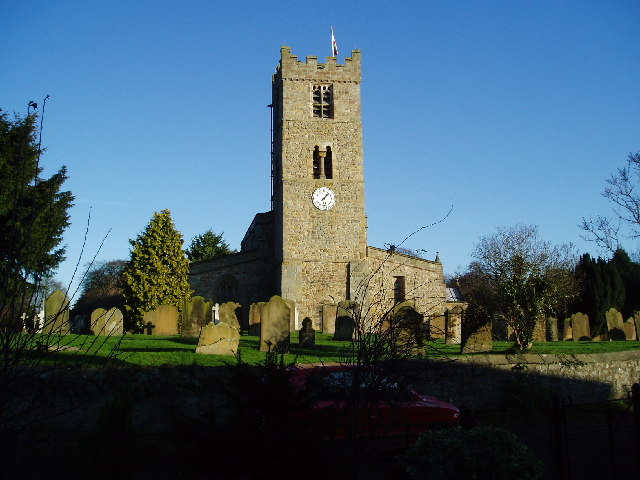
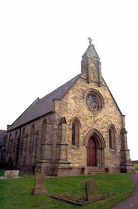
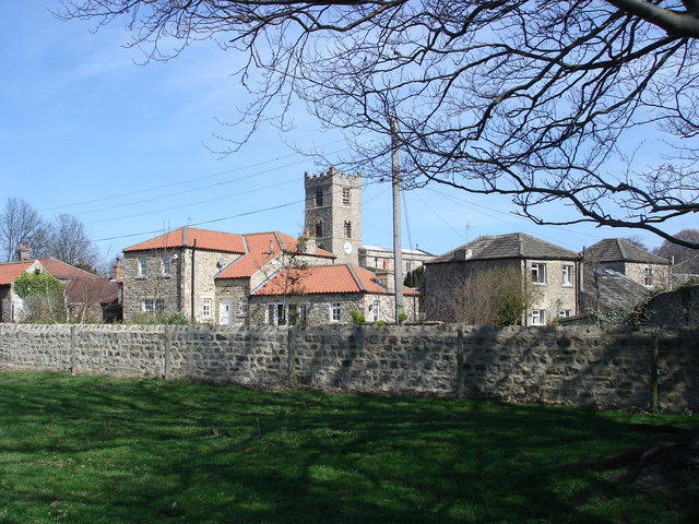
Historically, West Appleton has deep roots dating back to the medieval period. The village church, St. Mary's, is a prominent landmark and a testament to its rich history. Dating back to the 13th century, the church features stunning architecture and is often visited by history enthusiasts and architecture lovers.
Overall, West Appleton offers a tranquil and idyllic setting for those seeking a peaceful retreat in the heart of the Yorkshire countryside. Its natural beauty, community spirit, and historical significance make it a truly special place to live or visit.
If you have any feedback on the listing, please let us know in the comments section below.
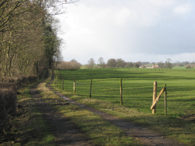
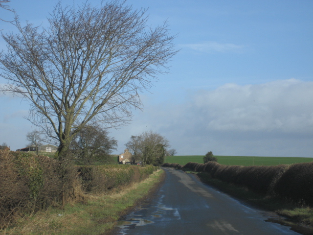
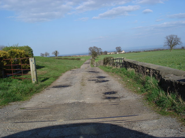
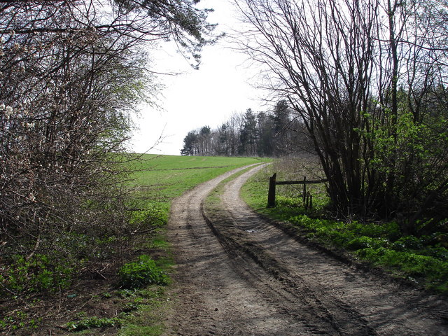
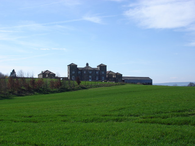
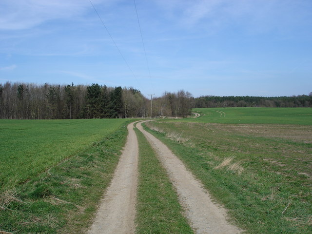
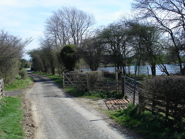
West Appleton Images
Images are sourced within 2km of 54.344395/-1.655454 or Grid Reference SE2294. Thanks to Geograph Open Source API. All images are credited.

West Appleton is located at Grid Ref: SE2294 (Lat: 54.344395, Lng: -1.655454)
Division: North Riding
Administrative County: North Yorkshire
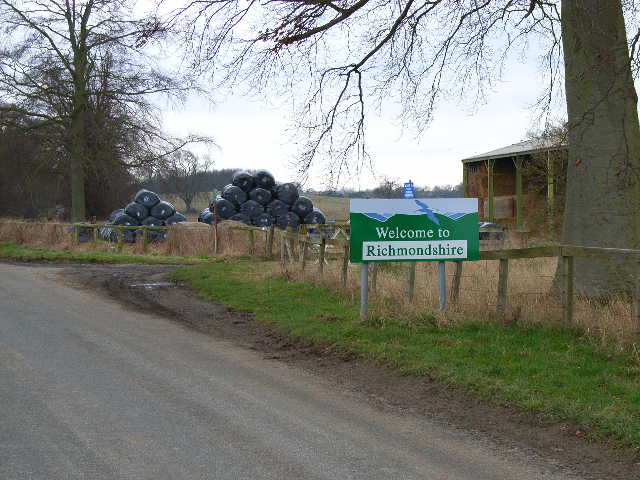
District: Richmondshire
Police Authority: North Yorkshire
What 3 Words
///deluded.genius.cost. Near Catterick, North Yorkshire
Nearby Locations
Related Wikis

Hornby Castle, North Yorkshire
Hornby Castle is a grade I listed fortified manor house on the edge of Wensleydale between Bedale and Leyburn, in the county of North Yorkshire, England...

Hornby, Richmondshire
Hornby is a small village and civil parish located about 4 miles (6.4 km) north-west of Bedale. It is part of the non-metropolitan district of Richmondshire...

Church of St Mary the Virgin, Hornby
St Mary's Church Hornby, is the parish church for the village of Hornby, Richmondshire in North Yorkshire, England. The church is one of six in the Benefice...

Appleton East and West
Appleton East and West is a civil parish in the Richmondshire district of North Yorkshire, England. It contains the villages East Appleton and West Appleton...
East Appleton
East Appleton is a hamlet in North Yorkshire, England. The poet Richard Braithwaite lived there on his estate, and was buried in the parish church. Roger...
Tunstall, North Yorkshire
Tunstall is a village and civil parish in the Richmondshire district of North Yorkshire, England about 2 miles (3.2 km) west of Catterick Village and the...

Hackforth
Hackforth is a small village and civil parish in the Hambleton district of North Yorkshire, England, about 4 miles (6 km) north of Bedale. Nearby settlements...

Arrathorne
Arrathorne is a hamlet and civil parish in the former Richmondshire district of North Yorkshire, England. The settlement is 6 miles (9 km) south of Richmond...
Nearby Amenities
Located within 500m of 54.344395,-1.655454Have you been to West Appleton?
Leave your review of West Appleton below (or comments, questions and feedback).