Bradfield St George

Settlement in Suffolk West Suffolk

England

Bradfield St George

Harvested field east of Linkwood Road The tower of Bradfield St George church is just visible in the distance.
Harvested field east of Linkwood Road Credit: Robin Webster

Bradfield St George is a small village located in the county of Suffolk, England. Situated approximately 5 miles south of the town of Bury St Edmunds, it is set amidst picturesque countryside and offers a tranquil and idyllic setting.

The village is known for its charming and well-preserved traditional English cottages, many of which date back several centuries. These historic buildings, combined with the village's rural surroundings, give Bradfield St George a quaint and timeless atmosphere.

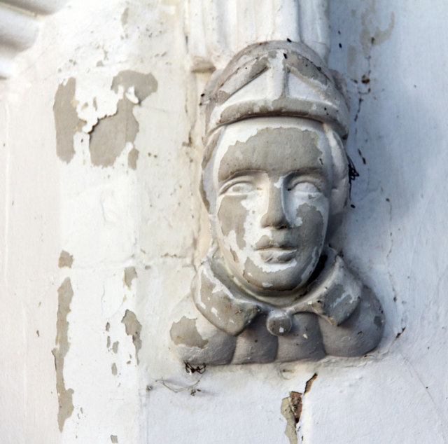
Despite its small size, Bradfield St George boasts a strong sense of community and is home to a close-knit population. The village has a local pub, The Six Bells, which serves as a popular meeting place for residents and visitors alike. Additionally, the village church, St George's, is a notable landmark and holds regular services.

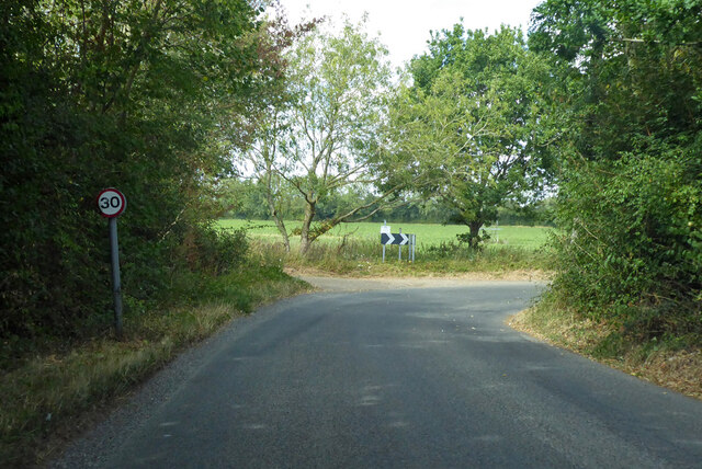
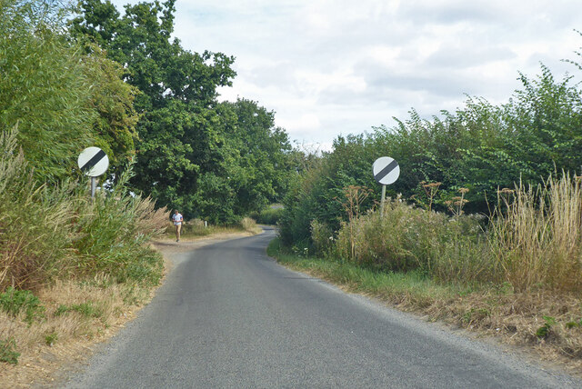
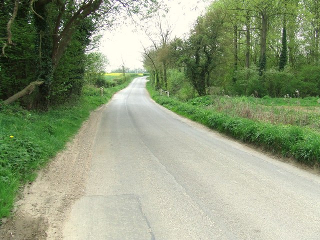
The surrounding countryside provides ample opportunities for outdoor activities, including walking, cycling, and horse riding. The village is also within close proximity to several nature reserves and country parks, offering further recreational options.

Bradfield St George benefits from its proximity to larger towns and cities. Bury St Edmunds, with its range of amenities including shops, restaurants, and leisure facilities, is easily accessible. The village is also well-connected by road, with the A134 passing nearby, providing convenient links to other parts of Suffolk and beyond.

In summary, Bradfield St George is a charming and peaceful village, offering a quintessential English countryside experience. With its historic buildings, welcoming community, and beautiful surroundings, it is a sought-after location for those seeking a slower-paced and picturesque way of life.

If you have any feedback on the listing, please let us know in the comments section below.

Bradfield St George Images

Images are sourced within 2km of 52.206529/0.80033193 or Grid Reference TL9160. Thanks to Geograph Open Source API. All images are credited.

Harvested field east of Linkwood Road The tower of Bradfield St George church is just visible in the distance.
Harvested field east of Linkwood Road
The tower of Bradfield St George church is just visible in the distance.
Eastlow Hill, Rougham Looking east.
Eastlow Hill, Rougham
Looking east.
Bend on Moat Lane, Rougham The moat is at Moat Farm, a bit further back.
Bend on Moat Lane, Rougham
The moat is at Moat Farm, a bit further back.
Nether Street becomes derestricted Leaving Rougham and Kingshall Street behind.
Nether Street becomes derestricted
Leaving Rougham and Kingshall Street behind.
Nether Street towards High Rougham
Manor Road Looking south along Manor Road south of Hessett, Suffolk.
Manor Road
Looking south along Manor Road south of Hessett, Suffolk.
The Blackbourn About a mile from its source near Bradfield St George, The Blackbourn flows under Manor Bridge, south of Hessett. The stream is barely visible through the vegetation.  Downstream of Drinkstone Lake <a href="https://www.geograph.org.uk/gridref/TL9561">TL9561</a> to its confluence with the Little Ouse in <a href="https://www.geograph.org.uk/gridref/TL8880">TL8880</a> The Blackbourn is shown on the OS map as 'The Black Bourn'.
The Blackbourn
About a mile from its source near Bradfield St George, The Blackbourn flows under Manor Bridge, south of Hessett. The stream is barely visible through the vegetation. Downstream of Drinkstone Lake TL9561 to its confluence with the Little Ouse in TL8880 The Blackbourn is shown on the OS map as 'The Black Bourn'.
St George, Bradfield St George
St George, Bradfield St George - Tower & porch
St George, Bradfield St George - Porch
St George, Bradfield St George - Stonework
St George, Bradfield St George - Tower
St George, Bradfield St George - East end
St George, Bradfield St George - Niche
St George, Bradfield St George - Label head
Show me another place!

Bradfield St George is located at Grid Ref: TL9160 (Lat: 52.206529, Lng: 0.80033193)

Administrative County: Suffolk

District: West Suffolk

Police Authority: Suffolk

What 3 Words

///soils.placed.divisible. Near Thurston, Suffolk

Related Wikis

Bradfield St George

Bradfield St. George is a village and civil parish in the West Suffolk district of Suffolk, England, about 6 miles (9.7 km) south of Bury St Edmunds. According...

Welnetham railway station

Welnetham railway station was on the Long Melford-Bury St Edmunds branch line, serving Great Whelnetham, Little Whelnetham and Sicklesmere in Suffolk....

Rougham, Suffolk

Rougham is a village and former civil parish 19 miles (31 km) north west of Ipswich, now in the parish of Rushbrooke with Rougham, in the West Suffolk...

Church of St Clare, Bradfield

The Church of St Clare, Bradfield is the Anglican parish church of Bradfield St Clare, in the district of West Suffolk, Suffolk. The original structure...

St Margaret's Church, Westhorpe

St Margaret's Church is the parish church of Westhorpe, Suffolk, England. It is part of the Badwell and Walsham Benefice. It is a Grade I listed building...

Little Whelnetham

Little Whelnetham (well-NEE-thum) (sometimes Little Welnetham) is a village and civil parish in the West Suffolk district of Suffolk in eastern England...
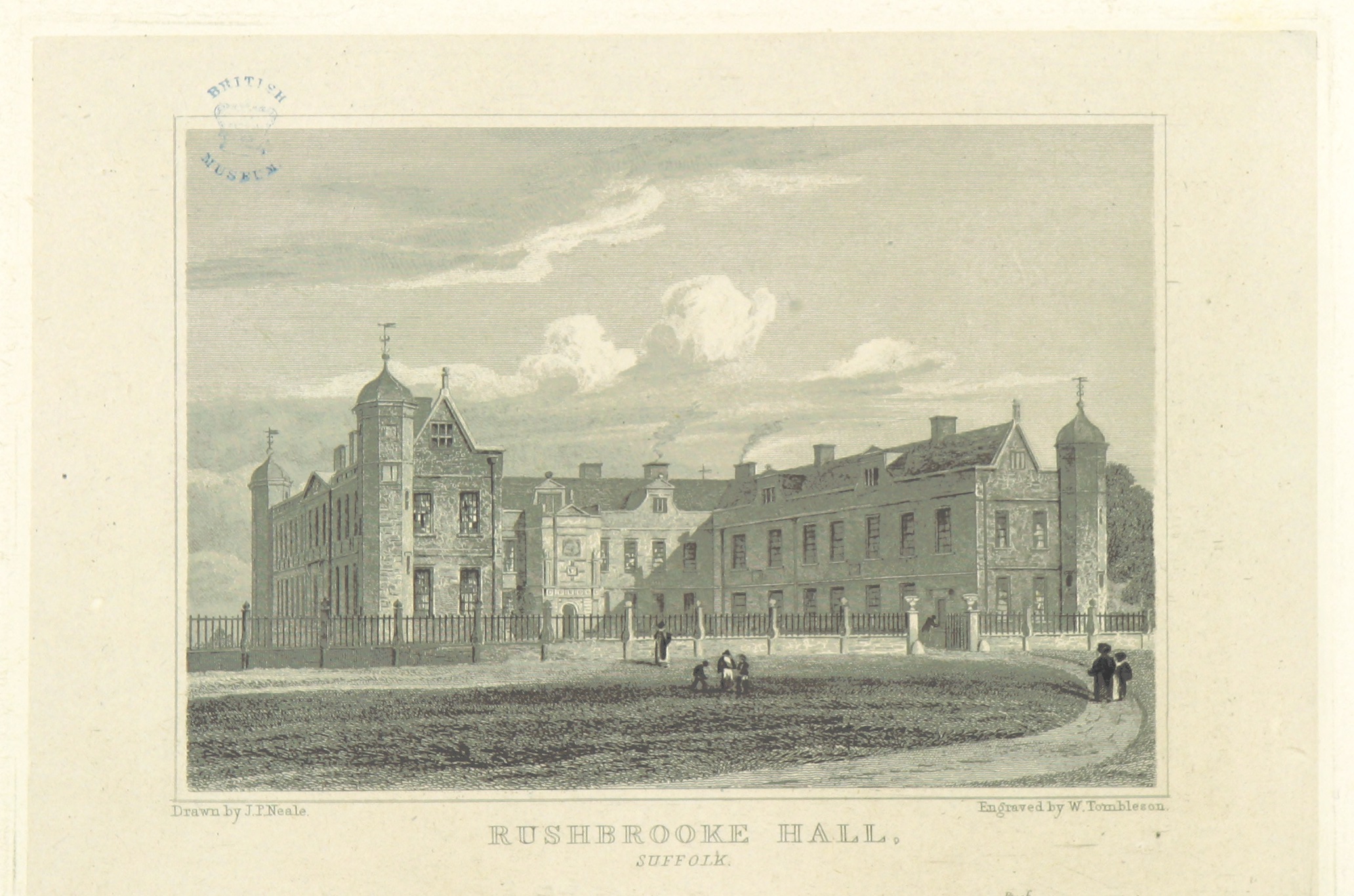
Rushbrooke Hall

Rushbrooke Hall was a British stately home in Rushbrooke, Suffolk. For several hundred years it was the family seat of the Jermyn family. It was demolished...

Bradfield St Clare

Bradfield St. Clare is a village and civil parish in the West Suffolk district of Suffolk, England, about six miles south of Bury St Edmunds. According...

Nearby Amenities

Located within 500m of 52.206529,0.80033193
Bradfield St George
Place: village
Wikidata: Q2988573
Lat/Long: 52.2053447/0.7983114
Bus Stop
The Green
Naptan AtcoCode: 390050778
Naptan Bearing: W
Naptan CommonName: The Green
Naptan Indicator: adj
Naptan Landmark: The Green
Naptan NaptanCode: sufgjtad
Naptan Street: Church Road
Naptan Verified: no
Source: naptan_import
Lat/Long: 52.206526/0.8003657
Bus Stop
The Green
Naptan AtcoCode: 390050779
Naptan Bearing: E
Naptan BusStopType: CUS
Naptan CommonName: The Green
Naptan Indicator: opp
Naptan Landmark: The Green
Naptan NaptanCode: sufgjtag
Naptan Street: Church Road
Naptan Verified: no
Source: naptan_import
Lat/Long: 52.2065992/0.8003117
Power: pole
Lat/Long: 52.2062677/0.7950505
Power: pole
Lat/Long: 52.2060823/0.7938084
Power: pole
Lat/Long: 52.2104222/0.7973992
Power: pole
Lat/Long: 52.2089627/0.7976245
Power: pole
Lat/Long: 52.2045526/0.7968627
Power: pole
Lat/Long: 52.2037883/0.7966535
Power: pole
Lat/Long: 52.2049989/0.7974526
Power: pole
Lat/Long: 52.2071021/0.7982038
Power: pole
Lat/Long: 52.2097483/0.7973938
Power: pole
Lat/Long: 52.2054403/0.7980027
Power: pole
Lat/Long: 52.2060073/0.7985498
Power: pole
Lat/Long: 52.2030255/0.7964416
Fixme: Where does Restricted Byway go from here?
Lat/Long: 52.2094777/0.7974524
The data included in this document is from www.openstreetmap.org. The data is made available under ODbL.

Have you been to Bradfield St George?

Leave your review of Bradfield St George below (or comments, questions and feedback).