Bradford
Settlement in Yorkshire
England
Bradford
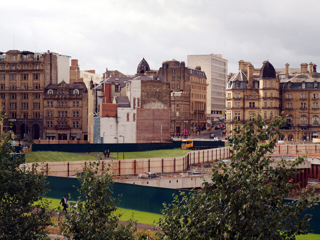
Bradford is a vibrant city located in West Yorkshire, England. It is situated in the foothills of the Pennines, approximately 14 kilometers west of Leeds. With a population of over 530,000, it is the fourth largest metropolitan area in the United Kingdom.
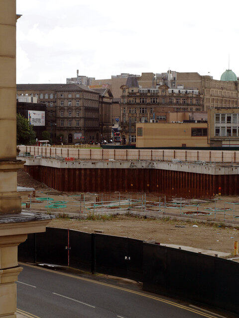
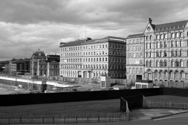
The city of Bradford has a rich history, dating back to the Norman times. It rose to prominence during the Industrial Revolution as a major center for textile production. Today, remnants of its industrial past can still be seen in the form of old mills and warehouses that have been repurposed for various purposes.
Bradford boasts a diverse and multicultural population, with a significant number of residents from South Asian backgrounds. This has led to the city being recognized as one of the most ethnically diverse in the country. As a result, Bradford is known for its vibrant cultural scene, including various festivals, music, and arts events throughout the year.
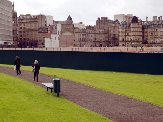
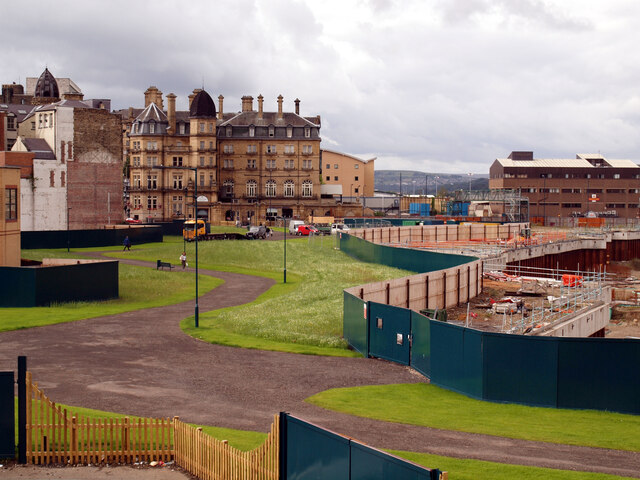
The city has also made significant strides in recent years to improve its infrastructure and amenities. The Broadway shopping center, which opened in 2015, has become a major retail hub, attracting visitors from across the region. Additionally, Bradford is home to several universities and colleges, contributing to its reputation as an educational center.
Surrounded by stunning countryside, Bradford offers residents and visitors plenty of opportunities for outdoor activities. The nearby Yorkshire Dales National Park and Bronte Country are popular destinations for hiking, cycling, and exploring nature.
In summary, Bradford is a diverse and dynamic city with a rich history, vibrant cultural scene, and excellent outdoor recreational opportunities.
If you have any feedback on the listing, please let us know in the comments section below.
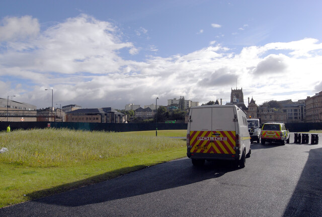
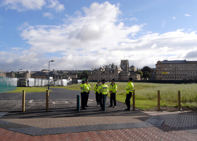
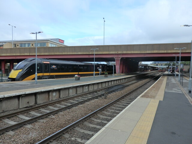
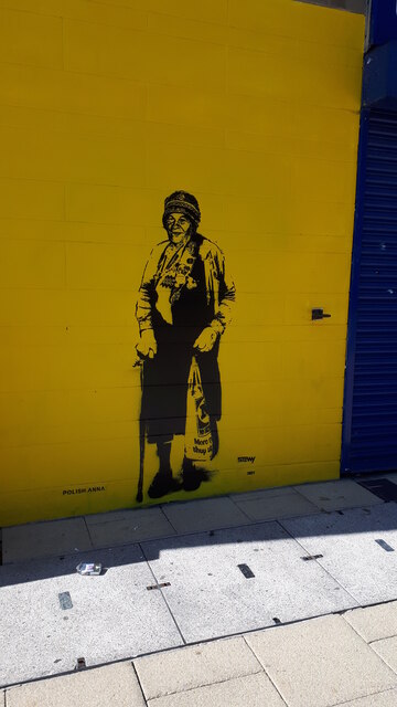
Bradford Images
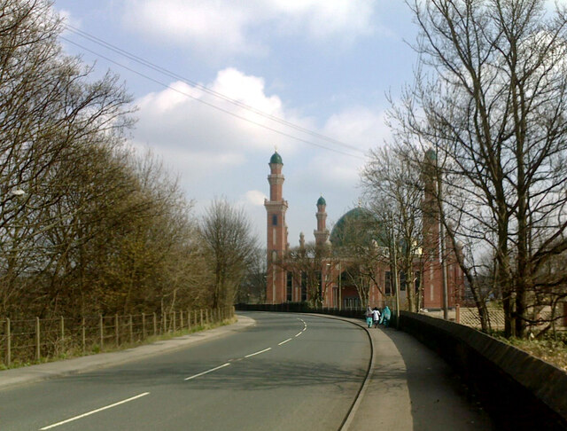
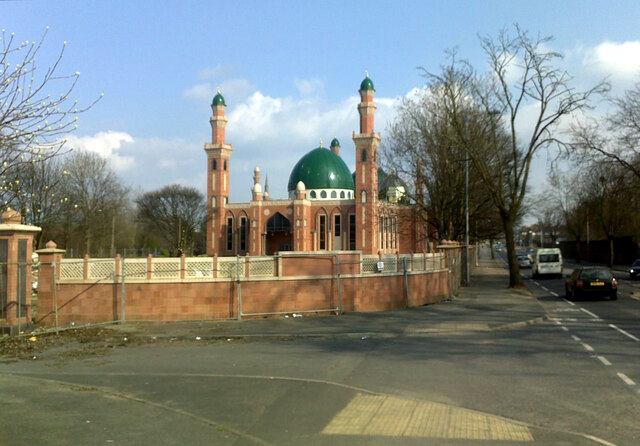
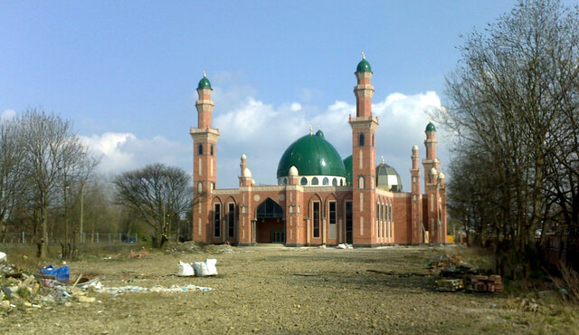
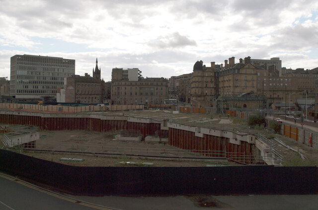
Images are sourced within 2km of 53.790778/-1.7545611 or Grid Reference SE1632. Thanks to Geograph Open Source API. All images are credited.


Bradford is located at Grid Ref: SE1632 (Lat: 53.790778, Lng: -1.7545611)
Division: West Riding
Unitary Authority: Bradford
Police Authority: West Yorkshire
What 3 Words
///scouts.civic.softly. Near Bradford, West Yorkshire
Nearby Locations
Related Wikis
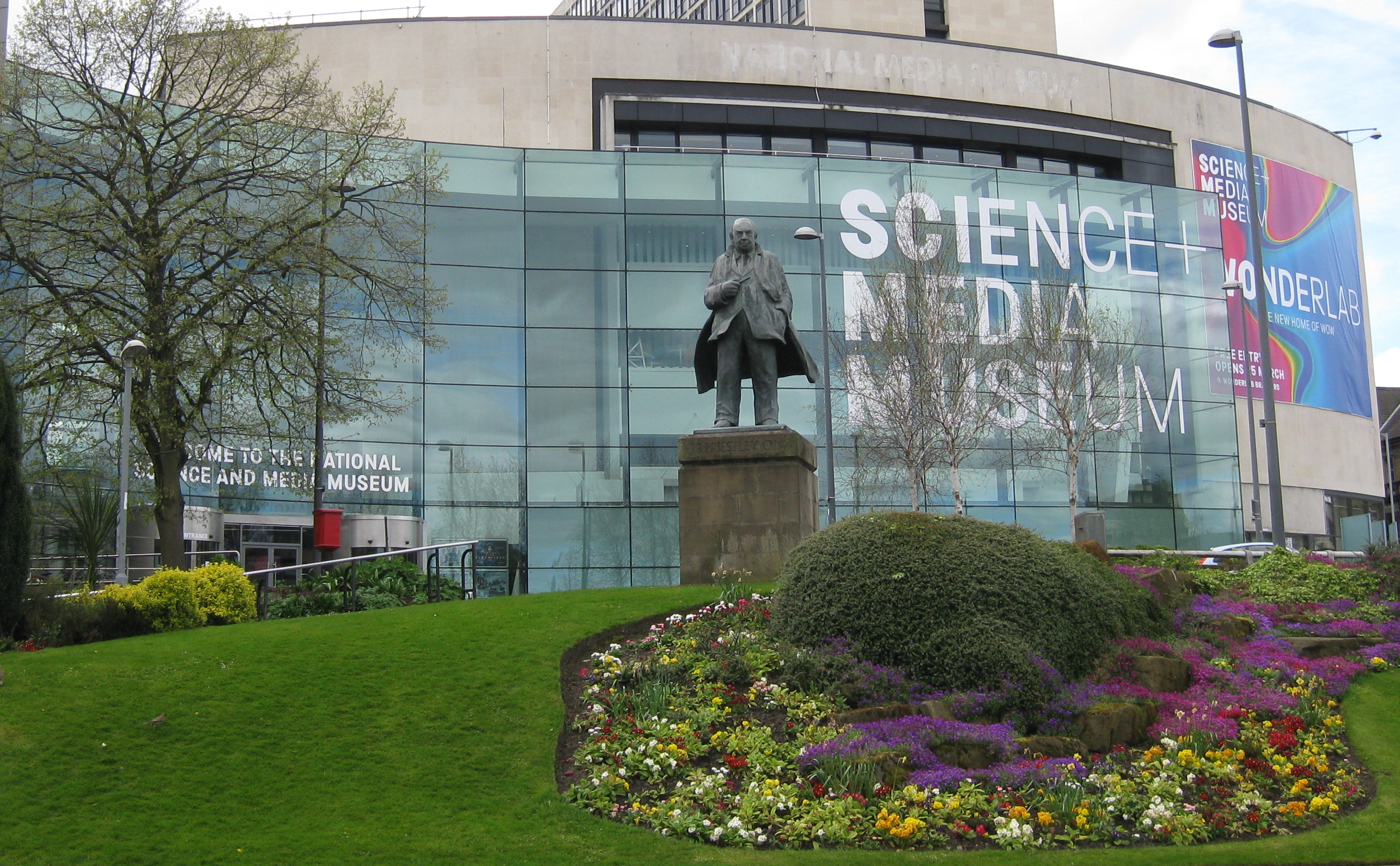
National Science and Media Museum
The National Science and Media Museum (formerly The National Museum of Photography, Film & Television, 1983–2006 and then the National Media Museum, 2006...

City of Bradford
The City of Bradford Metropolitan District ( ), commonly called Bradford, is a local government district of West Yorkshire, England, with the status of...
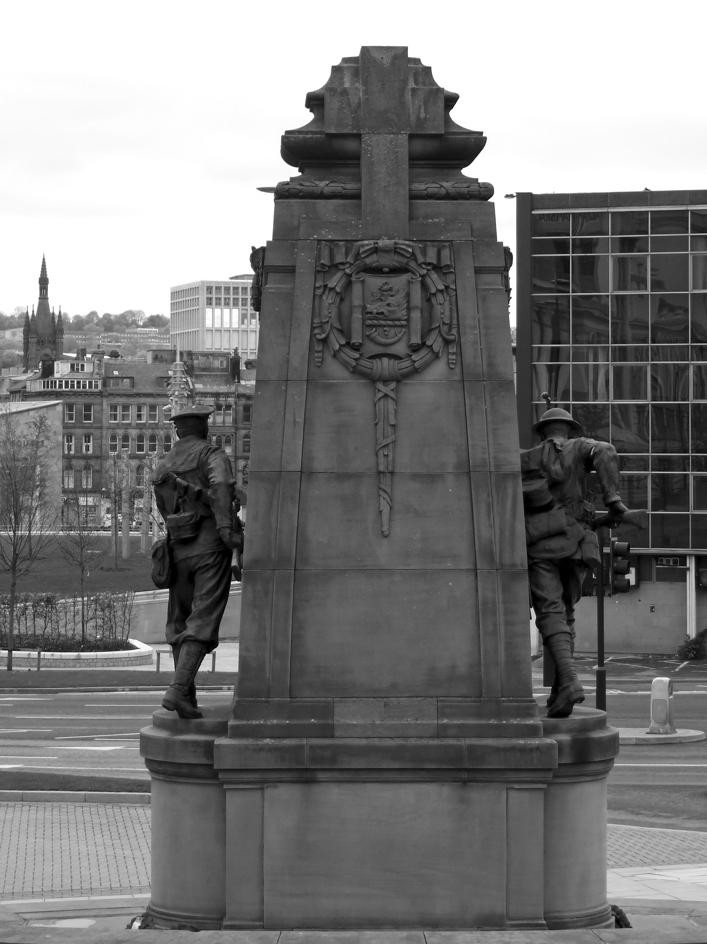
Bradford War Memorial
Bradford War Memorial commemorates the 37,000 men the English city of Bradford who served in the British Armed Forces in the First World War. Many of...
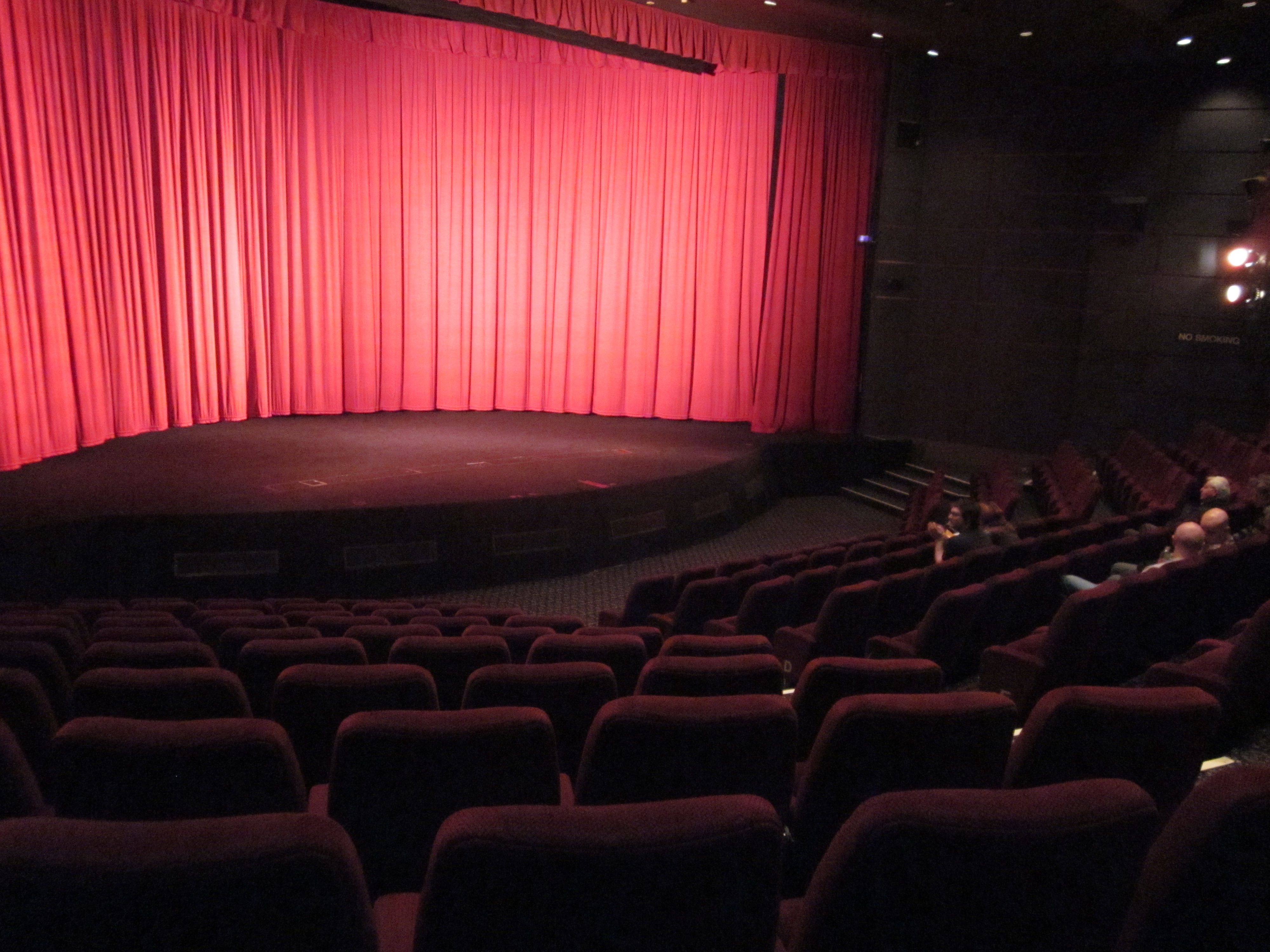
Pictureville Cinema
Pictureville Cinema is a cinema auditorium located within the National Science and Media Museum in Bradford, West Yorkshire, England. The building was...

Iraq Economic Development Group
The Iraq Economic Development Group (also frequently abbreviated to IEDG) is an apolitical private limited company established in United Kingdom that facilitates...

Bradford Alhambra
The Alhambra Theatre is a theatre in Bradford, West Yorkshire, England, named after the Alhambra palace in Granada, Spain, which was the place of residence...

Bradford City Hall
Bradford City Hall is a 19th-century town hall in Centenary Square, Bradford, West Yorkshire, England. It is a Grade I listed building which has a distinctive...
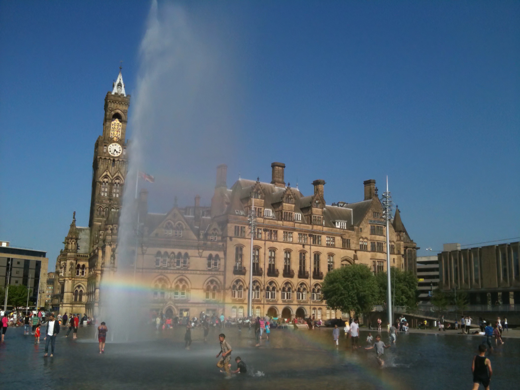
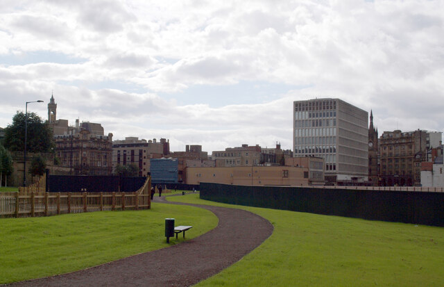
Bradford City Park
City Park is a public space in the centre of Bradford, West Yorkshire. It is centred on the Grade I listed Bradford City Hall. The city park comprises...
Related Videos

Long Bank Holiday Weekend at City Park (Bradford) (4K)
Take a tour with me on a long Bank Holiday weekend at Bradford City Park. The Sun is shining and the kids are out to play by the ...

Festive walk in Bradford (17.11.23) (4K,HDR)
In this video, I take you on a visit to Bradford City Centre near Leeds in West Yorkshire England. I will take a look at the shops, ...

English Tourism Week 2021: Visiting Bradford Cathedral - Small Visitor Attraction of the Year
Bradford Cathedral - Gold Award Winner of the Small Visitor Attraction of the Year award at the White Rose Awards 2020.
Nearby Amenities
Located within 500m of 53.790778,-1.7545611Have you been to Bradford?
Leave your review of Bradford below (or comments, questions and feedback).