Wellswood
Settlement in Devon
England
Wellswood
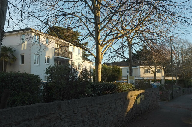
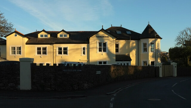
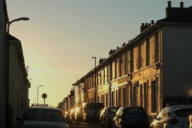
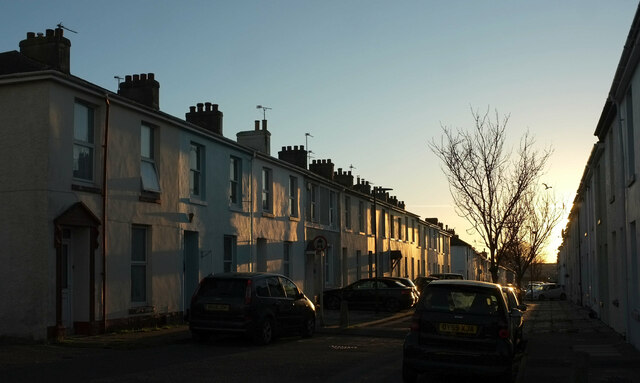
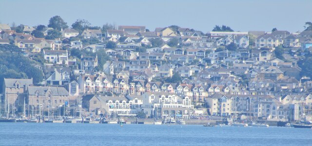
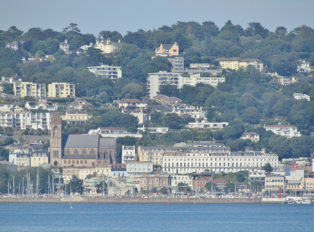
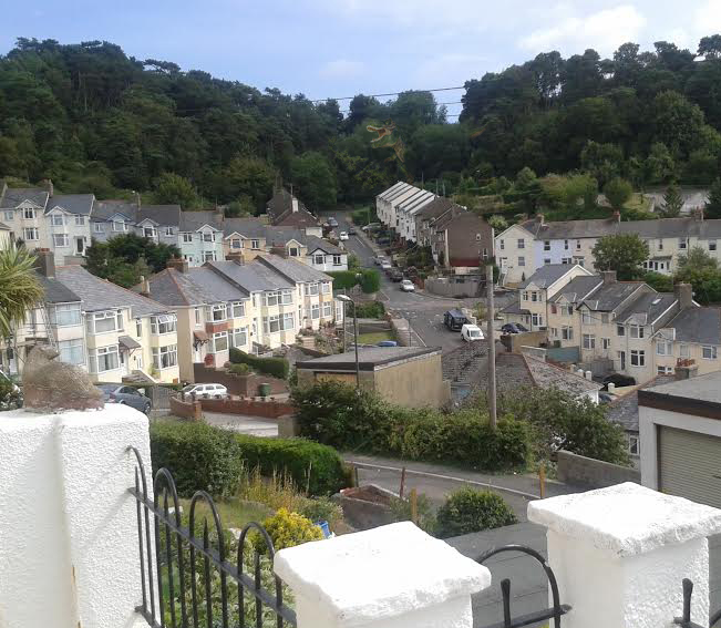
Wellswood is a charming suburb located in Torquay, Devon. It is known for its peaceful atmosphere, tree-lined streets, and beautiful Victorian architecture. The area is popular with both locals and tourists due to its proximity to the stunning English Riviera coastline.
Wellswood is home to a range of independent shops, cafes, and restaurants, offering a unique shopping and dining experience. The area also has a village green, playground, and community center, making it a great place for families to visit or live.
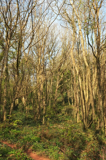
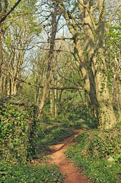
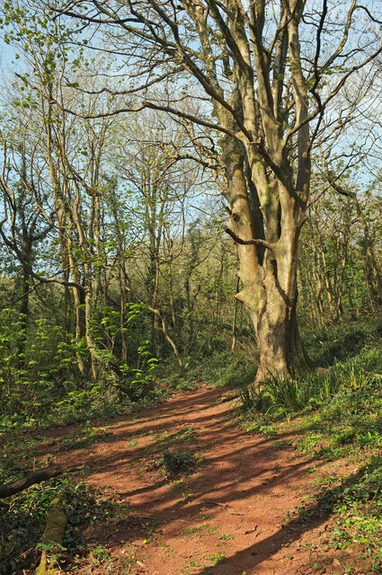
In addition to its amenities, Wellswood is surrounded by lush greenery and is a short distance from the South West Coast Path, providing plenty of opportunities for outdoor activities such as hiking, cycling, and beachcombing.
Overall, Wellswood is a picturesque and tranquil suburb that offers a perfect blend of modern conveniences and natural beauty, making it a popular destination for those seeking a peaceful retreat in the heart of Devon.
If you have any feedback on the listing, please let us know in the comments section below.
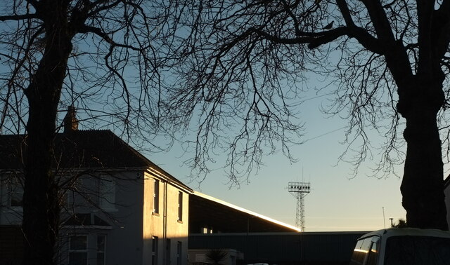
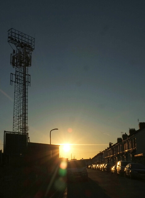
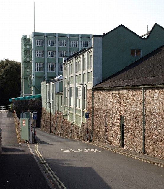
Wellswood Images
Images are sourced within 2km of 50.466782/-3.507443 or Grid Reference SX9364. Thanks to Geograph Open Source API. All images are credited.


Wellswood is located at Grid Ref: SX9364 (Lat: 50.466782, Lng: -3.507443)
Unitary Authority: Torbay
Police Authority: Devon and Cornwall
What 3 Words
///actual.pipes.washed. Near Torquay, Devon
Nearby Locations
Related Wikis
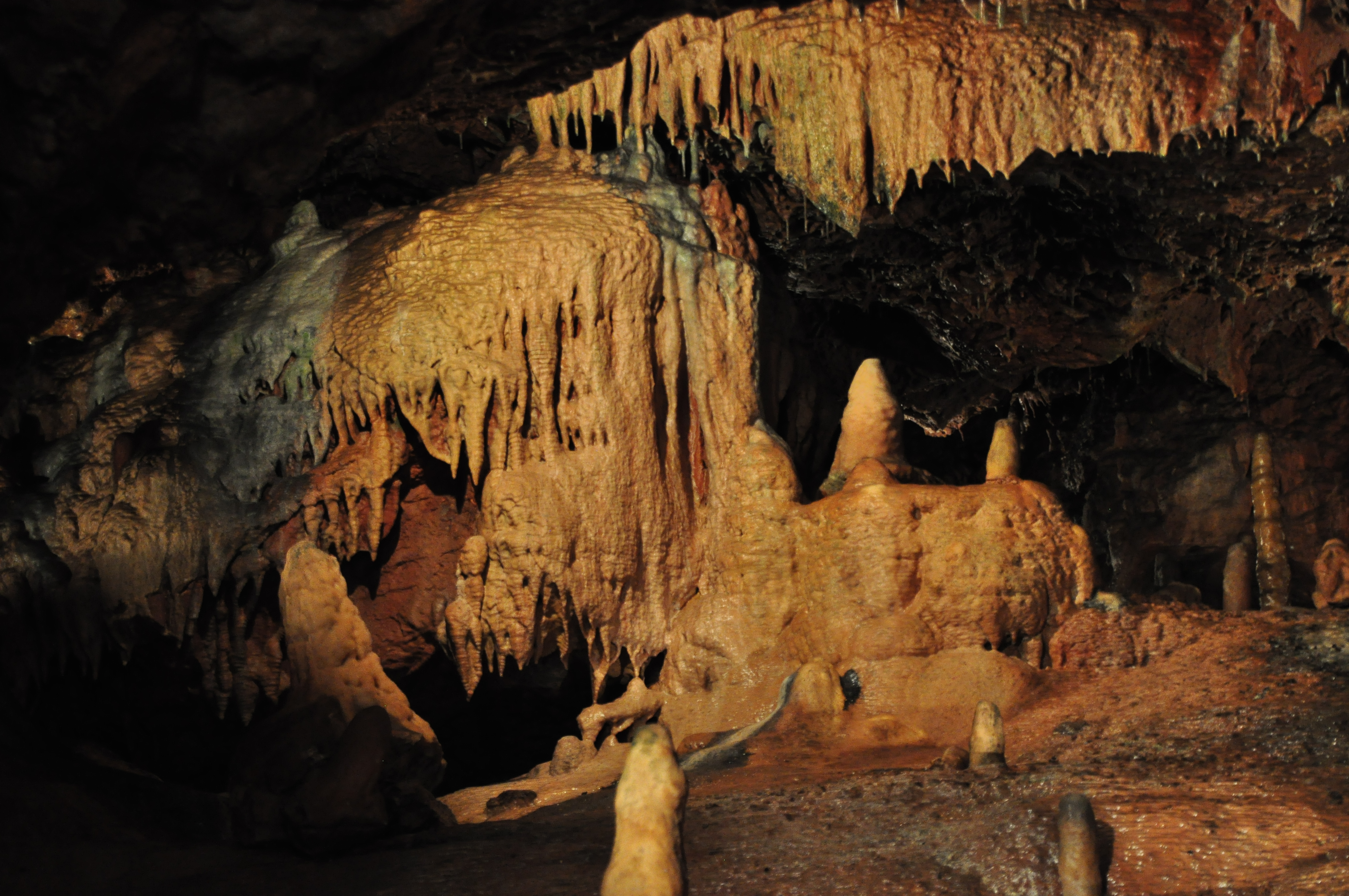
Kents Cavern
Kents Cavern is a cave system in Torquay, Devon, England. It is notable both for its archaeological and geological features (as a karst feature in the...

Gleneagles Hotel, Torquay
The Gleneagles Hotel was a hotel in Torquay, Devon, England. The 41-bed establishment, which opened in the 1960s, was the inspiration for Fawlty Towers...
RAF Hospital Torquay
The RAF Hospital Torquay (also known as the RAF Officer's Convalescent Hospital), was a medical facility run by the Royal Air Force (RAF) in the Torquay...
Ellacombe, Devon
Ellacombe is a district of Torquay, Devon. Ellacombe is home to Ellacombe Primary school, which is known to be the only place in Torquay that still has...
Related Videos

Torquay Holiday Video (1989)
Torquay Holiday Guide Video filmed in 1989.

TORQUAY | The Perfect Summer Holiday seaside town of Torquay, Devon
Torquay is a beautiful seaside holiday town located in the English Riviera, on the south coast of Devon and close to Brixham and ...

TORQUAY DEVON | Full tour of the seaside holiday town of Torquay
TORQUAY DEVON | Full tour of the seaside holiday town of Torquay We love a visit to Torquay. It's one of our favourite travel and ...

4K walking Tour, Torquay Harbour, Devon, UK, Beautiful Autumn day, The tourists have gone. Relaxing.
4K walking tour of the harbour area of Torquay, Devon, UK. including a walk around the pavilion which is soon to be restored, ...
Nearby Amenities
Located within 500m of 50.466782,-3.507443Have you been to Wellswood?
Leave your review of Wellswood below (or comments, questions and feedback).