Kents Cavern

Heritage Site in Devon

England

Kents Cavern

Buildings on Stanley Road, Babbacombe Flats and Stanley Court on the left, and Hadleigh Court, a residential care home for the elderly.
Buildings on Stanley Road, Babbacombe Credit: Derek Harper

Kents Cavern, located in Torquay, Devon, is a world-renowned heritage site and one of the most important prehistoric cave complexes in Europe. This remarkable natural wonder is a limestone cave system that stretches over 650 meters in length and boasts a rich geological history dating back over 400 million years.

The cave was formed during the Paleozoic era and has been a site of human habitation for thousands of years, with evidence of human occupation dating back to the Stone Age. It has played a vital role in understanding the prehistoric past, providing valuable insights into ancient human life, tools, and the environment.

Kents Cavern is notable for its impressive stalagmites and stalactites, which have formed over thousands of years due to the slow deposition of calcium carbonate-rich water. The cave's stunning geological formations create a visually striking atmosphere for visitors.

Guided tours of the cave offer visitors a unique opportunity to explore its vast chambers and learn about its history. Knowledgeable guides provide fascinating insights into the cave's archaeological significance, including the discovery of ancient human remains, such as the famous "Kents Cavern Man" and the "Torquay Pottery."

In addition to its archaeological and geological value, Kents Cavern offers a range of educational activities and events. Visitors can participate in hands-on workshops, archaeological digs, and even prehistoric-themed events, immersing themselves in the world of our ancient ancestors.

Kents Cavern truly stands as a testament to the rich cultural heritage of Devon and offers an unforgettable experience for those interested in the wonders of the natural world and the history of human civilization.

If you have any feedback on the listing, please let us know in the comments section below.
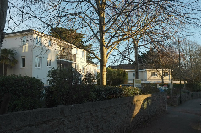
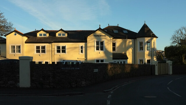
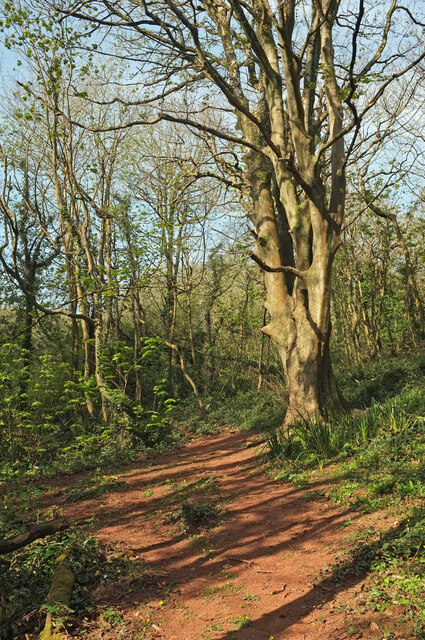
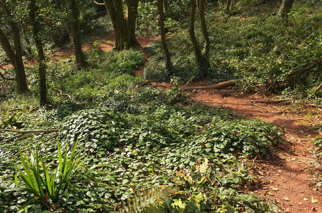
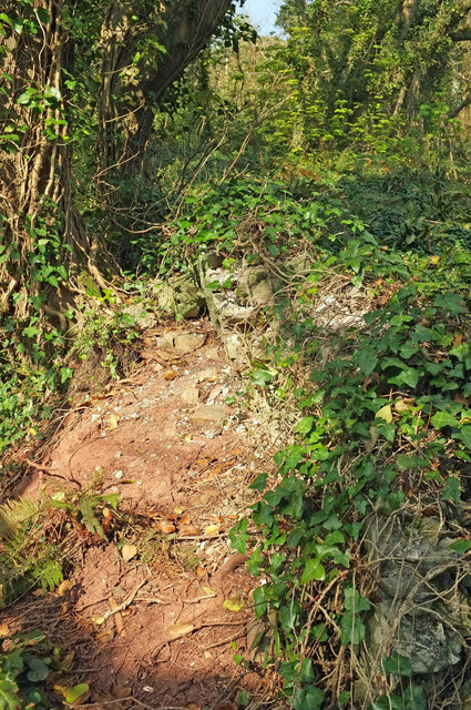
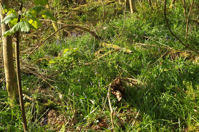
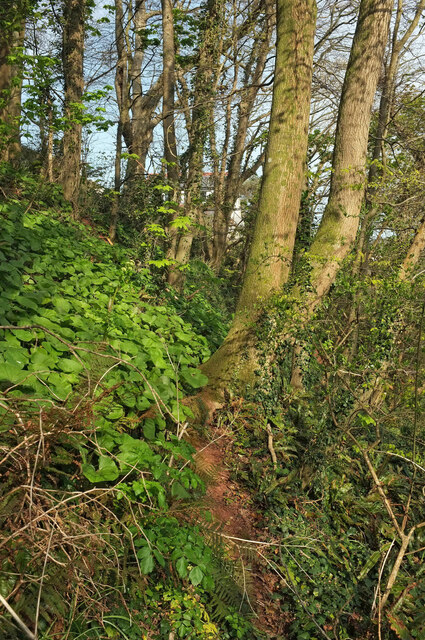
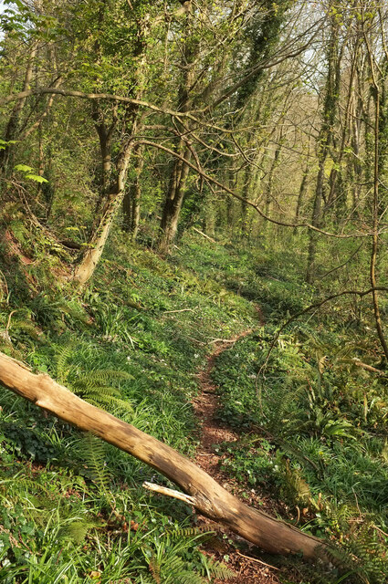
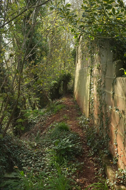
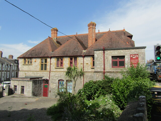
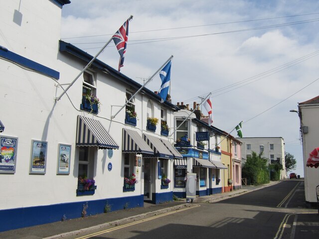
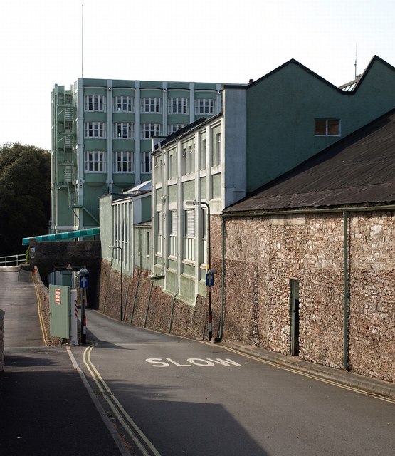
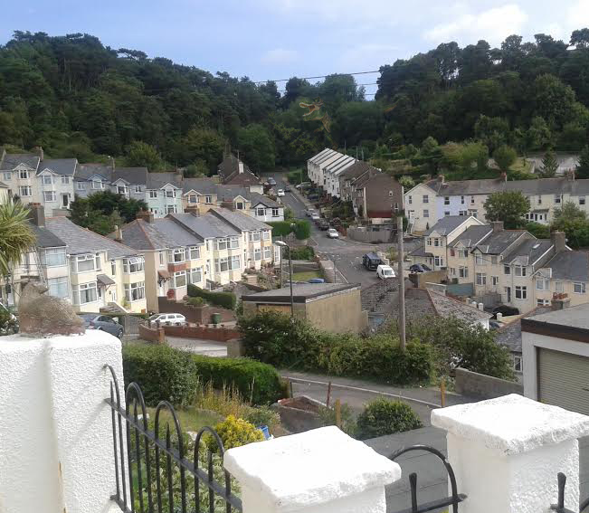
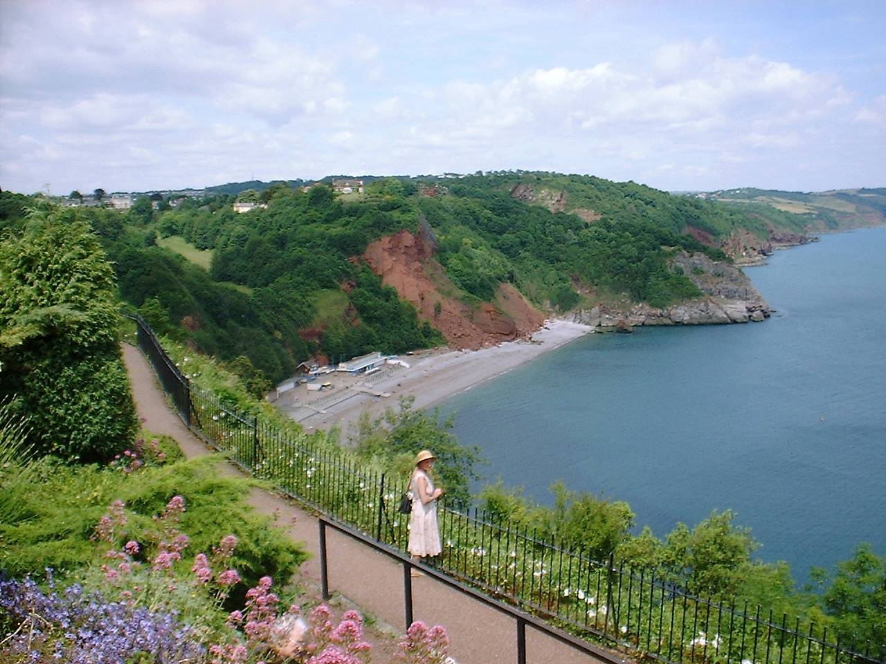
Kents Cavern Images

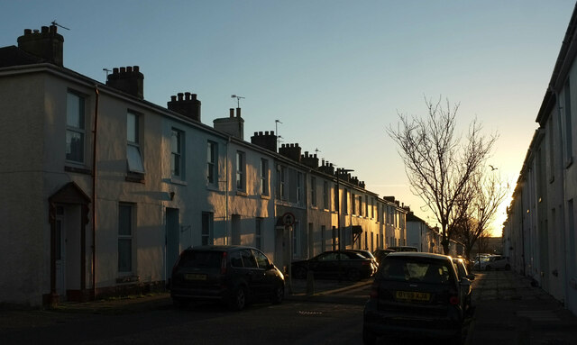
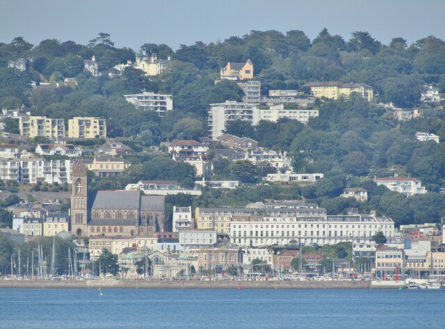
Images are sourced within 2km of 50.47/-3.5 or Grid Reference SX9364. Thanks to Geograph Open Source API. All images are credited.

Buildings on Stanley Road, Babbacombe Flats and Stanley Court on the left, and Hadleigh Court, a residential care home for the elderly.
Buildings on Stanley Road, Babbacombe
Flats and Stanley Court on the left, and Hadleigh Court, a residential care home for the elderly.
House, Babbacombe In late afternoon sunlight, at the corner of Guestland Road and Cary Park.
House, Babbacombe
In late afternoon sunlight, at the corner of Guestland Road and Cary Park.
Stand, Plainmoor The edge of the stand roof at Torquay United FC, seen from Devons Road, glints in the late afternoon sun. A symbol of better times ahead, perhaps - the club languishes in the National League South, tier 6 of the football league.
Stand, Plainmoor
The edge of the stand roof at Torquay United FC, seen from Devons Road, glints in the late afternoon sun. A symbol of better times ahead, perhaps - the club languishes in the National League South, tier 6 of the football league.
Marnham Road, Plainmoor On the left are floodlights at Torquay United FC.
Marnham Road, Plainmoor
On the left are floodlights at Torquay United FC.
Springfield Road, Plainmoor Terraced houses on the west side of the street, which is barred to through traffic by posts.
Springfield Road, Plainmoor
Terraced houses on the west side of the street, which is barred to through traffic by posts.
St Edmund's Road, Plainmoor Terraced houses on the east side of the street, seen from the junction with Fortune Way.
St Edmund's Road, Plainmoor
Terraced houses on the east side of the street, seen from the junction with Fortune Way.
Torquay Seen across Tor Bay from the end of Paignton Pier.
Torquay
Seen across Tor Bay from the end of Paignton Pier.
Woodland near the coast path A path heads away to climb an increasingly steep wood.
Woodland near the coast path
A path heads away to climb an increasingly steep wood.
Path through woods, Oddicombe Deeper up into the steep woodland from <a href="https://www.geograph.org.uk/photo/6930795">SX9265 : Woodland near the coast path</a>.
Path through woods, Oddicombe
Deeper up into the steep woodland from SX9265 : Woodland near the coast path.
Woodland near St Marychurch Further up the woods from <a href="https://www.geograph.org.uk/photo/6930844">SX9265 : Path through woods, Oddicombe</a>.
Woodland near St Marychurch
Further up the woods from SX9265 : Path through woods, Oddicombe.
Woodland above Oddicombe Beach A steep path descends these woods below Cliffside Road.
Woodland above Oddicombe Beach
A steep path descends these woods below Cliffside Road.
Old wall above Oddicombe Beach On a ridge in the woods fragments of an old field boundary are discernible.
Old wall above Oddicombe Beach
On a ridge in the woods fragments of an old field boundary are discernible.
Bluebells above Oddicombe Beach Close to the wall shown in <a href="https://www.geograph.org.uk/photo/6931389">SX9265 : Old wall above Oddicombe Beach</a>.
Bluebells above Oddicombe Beach
Close to the wall shown in SX9265 : Old wall above Oddicombe Beach.
Woodland by Cliffside Road Very steep woodland with the leaves of winter heliotrope and a glimpse of a house on Hampton Avenue.
Woodland by Cliffside Road
Very steep woodland with the leaves of winter heliotrope and a glimpse of a house on Hampton Avenue.
Path near St Marychurch A faint path on the steep wooded hillside above the coast path.
Path near St Marychurch
A faint path on the steep wooded hillside above the coast path.
Wall by woodland, St Marychurch Looking right from <a href="https://www.geograph.org.uk/photo/6931464">SX9265 : Woodland near St Marychurch</a>.
Wall by woodland, St Marychurch
Babbacombe - St Anne's Hall "St Anne’s Hall was first opened in 1884 using a gift of £2000 given by Miss Elizabeth Bertie-Mathew who wanted to provide a place of relaxation for the working men of Babbacombe".
<span class="nowrap"><a title="www.babbacombelhs.org.uk" rel="nofollow ugc noopener" href="http://www.babbacombelhs.org.uk">Link</a><img style="margin-left:2px;" alt="External link" title="External link - shift click to open in new window" src="https://s1.geograph.org.uk/img/external.png" width="10" height="10"/></span>
Babbacombe - St Anne's Hall
"St Anne’s Hall was first opened in 1884 using a gift of £2000 given by Miss Elizabeth Bertie-Mathew who wanted to provide a place of relaxation for the working men of Babbacombe". LinkExternal link
Babbacombe - Fish and Chips "Hanbury’s Famous Fish and Chips of Babbacombe have been serving fantastic fish and chips for over four decades".
<span class="nowrap"><a title="www.hanburys.net" rel="nofollow ugc noopener" href="http://www.hanburys.net">Link</a><img style="margin-left:2px;" alt="External link" title="External link - shift click to open in new window" src="https://s1.geograph.org.uk/img/external.png" width="10" height="10"/></span>
Babbacombe - Fish and Chips
"Hanbury’s Famous Fish and Chips of Babbacombe have been serving fantastic fish and chips for over four decades". LinkExternal link
Show me another place!

Kents Cavern is located at Grid Ref: SX9364 (Lat: 50.47, Lng: -3.5)

Unitary Authority: Torbay

Police Authority: Devon and Cornwall

What 3 Words

///milk.sleep.avoid. Near Torquay, Devon

Related Wikis

Gleneagles Hotel, Torquay

The Gleneagles Hotel was a hotel in Torquay, Devon, England. The 41-bed establishment, which opened in the 1960s, was the inspiration for Fawlty Towers...

Kents Cavern

Kents Cavern is a cave system in Torquay, Devon, England. It is notable both for its archaeological and geological features (as a karst feature in the...

RAF Hospital Torquay

The RAF Hospital Torquay (also known as the RAF Officer's Convalescent Hospital), was a medical facility run by the Royal Air Force (RAF) in the Torquay...

Long Quarry Point

Long Quarry Point is a coastal promontory below Wall's Hill in Torquay, Devon, England. The site is part of the Hope's Nose to Wall's Hill Site of Special...

Ellacombe, Devon

Ellacombe is a district of Torquay, Devon. Ellacombe is home to Ellacombe Primary school, which is known to be the only place in Torquay that still has...

Meadfoot Sea Road

Meadfoot Sea Road (grid reference SX934633) is a 6.1 hectare geological Site of Special Scientific Interest in Devon, England, notified in 1987 for its...

Babbacombe

Babbacombe is a district of Torquay, Devon, England. It is notable for Babbacombe Model Village, the Babbacombe Theatre and its clifftop green, Babbacombe...

Hope's Nose

Hope's Nose is a coastal headland, separating Tor Bay from Babbacombe Bay. It is visible from much of the town and harbour of Torquay, Devon. It has been...

Nearby Amenities

Located within 500m of 50.47,-3.5
Source: PGS
Lat/Long: 50.4699201/-3.493098
Source: PGS
Lat/Long: 50.4699387/-3.4938458
Source: PGS
Lat/Long: 50.4703072/-3.4948698
Source: PGS
Lat/Long: 50.47049/-3.4952769
Source: PGS
Lat/Long: 50.4707452/-3.4955577
Source: PGS
Lat/Long: 50.471173/-3.4963786
Source: PGS
Lat/Long: 50.471102/-3.4975357
Source: PGS
Lat/Long: 50.4712426/-3.4987166
Source: PGS
Lat/Long: 50.4714003/-3.4998463
Source: PGS
Lat/Long: 50.4717601/-3.5003967
Source: PGS
Lat/Long: 50.471887/-3.5011185
Source: PGS
Lat/Long: 50.4727163/-3.5010168
Source: PGS
Lat/Long: 50.4728068/-3.5019081
Source: PGS
Lat/Long: 50.4737956/-3.5019068
Anstey's Cove
Natural: bay
Wikidata: Q50817241
Lat/Long: 50.4721309/-3.5006787
Bicycle Parking
Bicycle Parking: stands
Capacity: 8
Covered: no
Lat/Long: 50.4704328/-3.5020069
Asheldon Road
Naptan AtcoCode: 1190TOA01057
Naptan Bearing: S
Naptan BusStopType: CUS
Naptan CommonName: Asheldon Road
Naptan Landmark: Ilsham House
Naptan NaptanCode: tbyjatw
Naptan ShortCommonName: Ilsham Road
Naptan Street: Ilsham Road
Naptan Verified: no
Source: naptan_import
Lat/Long: 50.4680008/-3.5045192
Bus Stop
Lydwell Park Road
Bench: no
Bin: no
Lit: yes
Naptan AtcoCode: 1190TOA10465
Naptan Bearing: NW
Naptan CommonName: Lydwell Park Road
Naptan Crossing: Asheldon Road
Naptan Landmark: Outside Coppice
Naptan NaptanCode: tbygmjp
Naptan Street: Babbacombe Road
Naptan Verified: no
Shelter: no
Source: naptan_import
Tactile Paving: no
Lat/Long: 50.4692805/-3.5064059
Bus Stop
Babbacombe Road
Naptan AtcoCode: 1190TOA10466
Naptan Bearing: SE
Naptan CommonName: Babbacombe Road
Naptan Crossing: Barrington Road
Naptan NaptanCode: tbygmjt
Naptan Street: Babbacombe Road
Naptan Verified: no
Source: naptan_import
Lat/Long: 50.4694697/-3.5063837
Bus Stop
Palace Hotel
Bench: yes
Bin: no
Bus: yes
Lit: yes
Naptan AtcoCode: 1190TOA10467
Naptan Bearing: S
Naptan CommonName: Palace Hotel
Naptan NaptanCode: tbygmgt
Naptan Street: Babbacombe Road
Naptan Verified: no
Public Transport: platform
Shelter: yes
Source: naptan_import
Tactile Paving: no
Lat/Long: 50.4711377/-3.5067609
Bus Stop
Ilsham House
Bench: no
Bus: yes
Naptan AtcoCode: 1190TOA10491
Naptan Bearing: N
Naptan CommonName: Ilsham House
Naptan Crossing: Ilsham Road
Naptan NaptanCode: tbygmpa
Naptan Street: Asheldon Road
Naptan Verified: no
Public Transport: platform
Shelter: no
Source: naptan_import
Lat/Long: 50.4680262/-3.5046469
Bus Stop
Ansteys Close
Bench: no
Bus: yes
Naptan AtcoCode: 1190TOA10492
Naptan Bearing: SE
Naptan CommonName: Ansteys Close
Naptan Crossing: Ansteys Close
Naptan NaptanCode: tbygmpm
Naptan Street: Asheldon Road
Naptan Verified: no
Public Transport: platform
Shelter: no
Source: naptan_import
Lat/Long: 50.4696607/-3.5041351
Bus Stop
Kents Cavern
Bus: yes
Naptan AtcoCode: 1190TOA10494
Naptan Bearing: SW
Naptan CommonName: Kents Cavern
Naptan NaptanCode: tbygmpg
Naptan Street: Ilsham Road
Naptan Verified: no
Public Transport: platform
Source: naptan_import
Lat/Long: 50.4679599/-3.5042079
Bus Stop
Kents Cavern
Bus: yes
Naptan AtcoCode: 1190TOA10495
Naptan Bearing: SE
Naptan CommonName: Kents Cavern
Naptan Indicator: Opp
Naptan NaptanCode: tbygmta
Naptan Street: Ilsham Road
Naptan Verified: no
Public Transport: platform
Source: naptan_import
Lat/Long: 50.4684349/-3.5029406
Bus Stop
Ilsham Road
Naptan AtcoCode: 1190TOA10496
Naptan Bearing: SE
Naptan CommonName: Ilsham Road
Naptan Crossing: Ilsham Close
Naptan NaptanCode: tbygmtp
Naptan Street: Ilsham Road
Naptan Verified: no
Source: naptan_import
Lat/Long: 50.4667387/-3.4998714
Bus Stop
Ilsham Road
Naptan AtcoCode: 1190TOA10497
Naptan Bearing: NW
Naptan CommonName: Ilsham Road
Naptan Crossing: Ilsham Close
Naptan Indicator: Opp
Naptan NaptanCode: tbygmtm
Naptan Street: Ilsham Road
Naptan Verified: no
Source: naptan_import
Lat/Long: 50.4667457/-3.5000266
Devil's Point
Natural: headland
Lat/Long: 50.4724283/-3.500912
Ele: 82
Natural: peak
Source: OS1
Lat/Long: 50.4702308/-3.5000165
FIXME: incomplete
Lat/Long: 50.4708817/-3.4995454
Access: yes
Leisure: playground
Lat/Long: 50.4684802/-3.5012043
Tourism: picnic_site
Lat/Long: 50.4677465/-3.5025101
Vending Machine
Check Date: 2023-02-14
Vending: parking_tickets
Lat/Long: 50.4678788/-3.5025333
Bench
Lat/Long: 50.4693829/-3.4943402
FIXME: incomplete
Lat/Long: 50.4696078/-3.4939266
Shop: gift
Lat/Long: 50.4675795/-3.5026869
Cafe
Firestone Kitchen
Lat/Long: 50.467493/-3.5025507
Generator Method: photovoltaic
Generator Output Electricity: yes
Generator Source: solar
Generator Type: solar_photovoltaic_panel
Location: roof
Power: generator
Lat/Long: 50.4687056/-3.4992568
Generator Method: photovoltaic
Generator Output Electricity: yes
Generator Source: solar
Generator Type: solar_photovoltaic_panel
Location: roof
Power: generator
Lat/Long: 50.4669531/-3.4985682
Source: PGS
Lat/Long: 50.4727239/-3.5018218
Post Box
Brand: Royal Mail
Brand Wikidata: Q638098
Brand Wikipedia: en:Royal Mail
Collection Times: Mo-Fr 09:00; Sa 07:00; Su off
Operator: Royal Mail
Operator Wikidata: Q638098
Post Box Design: type_b
Post Box Mounting: brick_pillar
Post Box Type: wall
Ref: TQ1 83D
Royal Cypher: GR
Royal Cypher Wikidata: Q33102273
Source: survey;streetlevel imagery;aerial imagery
Lat/Long: 50.466269/-3.4987378
Bench
Backrest: no
Survey Date: 2022-09-17
Lat/Long: 50.4696706/-3.5014445
Bench
Backrest: no
Survey Date: 2022-09-17
Lat/Long: 50.4694644/-3.5012981
Waste Basket
Survey Date: 2022-09-17
Waste: dog_excrement
Lat/Long: 50.468675/-3.5015667
Leisure: picnic_table
Survey Date: 2022-09-17
Lat/Long: 50.4684748/-3.501334
Bench
Survey Date: 2022-09-17
Lat/Long: 50.4710301/-3.5009415
Waste Basket
Survey Date: 2022-09-17
Lat/Long: 50.471451/-3.5019104
Bench
Backrest: no
Survey Date: 2022-09-17
Lat/Long: 50.4698793/-3.5015706
Bench
Backrest: no
Survey Date: 2022-09-17
Lat/Long: 50.4691246/-3.5010848
Bench
Backrest: no
Survey Date: 2022-09-17
Lat/Long: 50.4688207/-3.500907
Bench
Backrest: yes
Survey Date: 2022-09-17
Lat/Long: 50.4678412/-3.5045574
Waste Basket
Survey Date: 2022-09-17
Lat/Long: 50.4686424/-3.5016098
Life Ring
Emergency: life_ring
Survey Date: 2022-09-17
Lat/Long: 50.4723762/-3.5011976
Bench
Backrest: no
Survey Date: 2022-09-17
Lat/Long: 50.4700745/-3.5016979
Waste Basket
Survey Date: 2022-09-17
Waste: dog_excrement
Lat/Long: 50.4684683/-3.500803
Leisure: picnic_table
Survey Date: 2022-09-17
Lat/Long: 50.468548/-3.5011328
Leisure: picnic_table
Survey Date: 2022-09-17
Lat/Long: 50.468465/-3.5014141
Bench
Backrest: no
Survey Date: 2022-09-17
Lat/Long: 50.4695141/-3.5013274
Bench
Backrest: yes
Survey Date: 2022-10-15
Lat/Long: 50.4692534/-3.5061092
Vending Machine
Payment Coins: yes
Vending: elongated_coin
Lat/Long: 50.4677324/-3.5026565
The data included in this document is from www.openstreetmap.org. The data is made available under ODbL.

Have you been to Kents Cavern?

Leave your review of Kents Cavern below (or comments, questions and feedback).