Wellbrook
Settlement in Sussex Wealden
England
Wellbrook
Wellbrook is a picturesque village located in the county of Sussex, England. Situated in the heart of the South Downs National Park, it offers stunning natural beauty and a peaceful atmosphere. The village is nestled amongst rolling hills, lush green meadows, and ancient woodlands, providing residents and visitors with ample opportunities for outdoor activities and exploration.
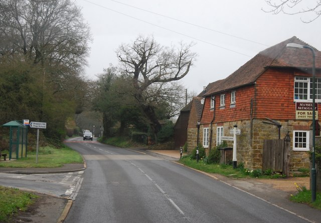
Wellbrook is a small community with a population of around 500 people. It is known for its charming thatched-roof cottages, traditional architecture, and well-maintained gardens. The village is proud of its strong sense of community, with various events and activities organized throughout the year to bring residents together.
In terms of amenities, Wellbrook boasts a quaint village pub that serves traditional British cuisine and local ales. There is also a small convenience store that provides basic necessities for the local population. However, for a wider range of shopping and services, residents can easily access nearby towns such as Lewes or Brighton.
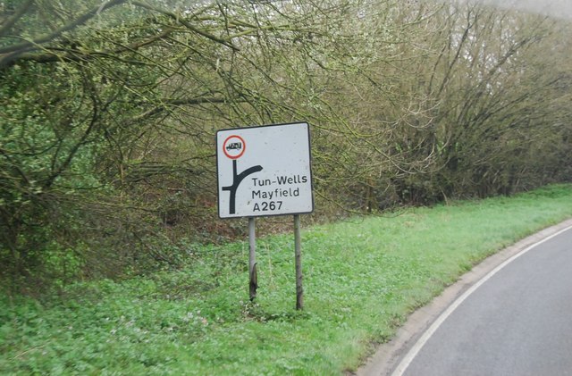
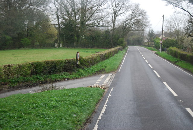
For nature enthusiasts, Wellbrook offers an abundance of walking and cycling trails, allowing visitors to immerse themselves in the natural beauty of the surrounding area. The village is also in close proximity to popular attractions like the famous Seven Sisters cliffs and the historic Lewes Castle.
Overall, Wellbrook is a tranquil and idyllic village, perfect for those seeking a peaceful retreat in the stunning Sussex countryside.
If you have any feedback on the listing, please let us know in the comments section below.
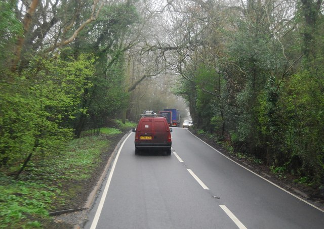
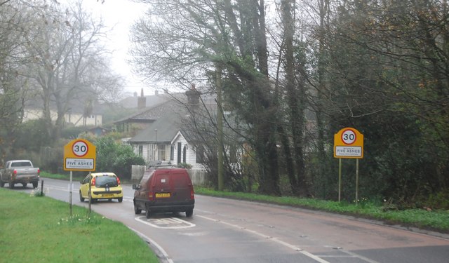
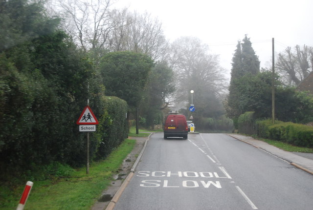
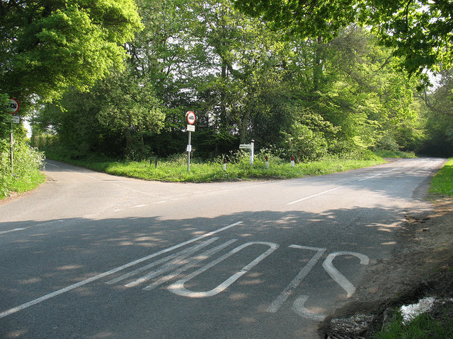
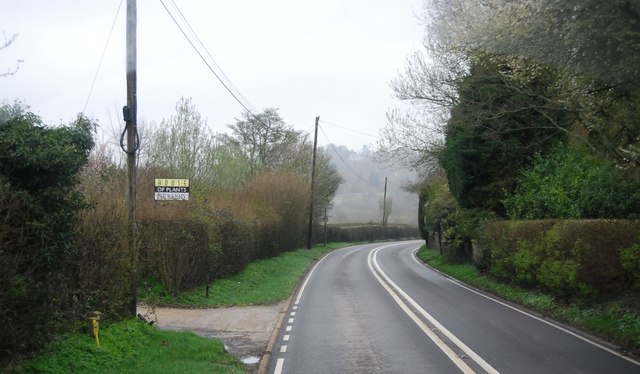
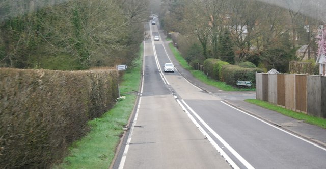
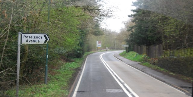
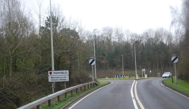
Wellbrook Images
Images are sourced within 2km of 51.013199/0.24366362 or Grid Reference TQ5726. Thanks to Geograph Open Source API. All images are credited.


Wellbrook is located at Grid Ref: TQ5726 (Lat: 51.013199, Lng: 0.24366362)
Administrative County: East Sussex
District: Wealden
Police Authority: Sussex
What 3 Words
///winners.itself.playfully. Near Town Row, East Sussex
Nearby Locations
Related Wikis

Mayfield railway station
Mayfield was a railway station on the now closed Eridge to Polegate cross country line (the Cuckoo Line). It was built by London, Brighton and South Coast...
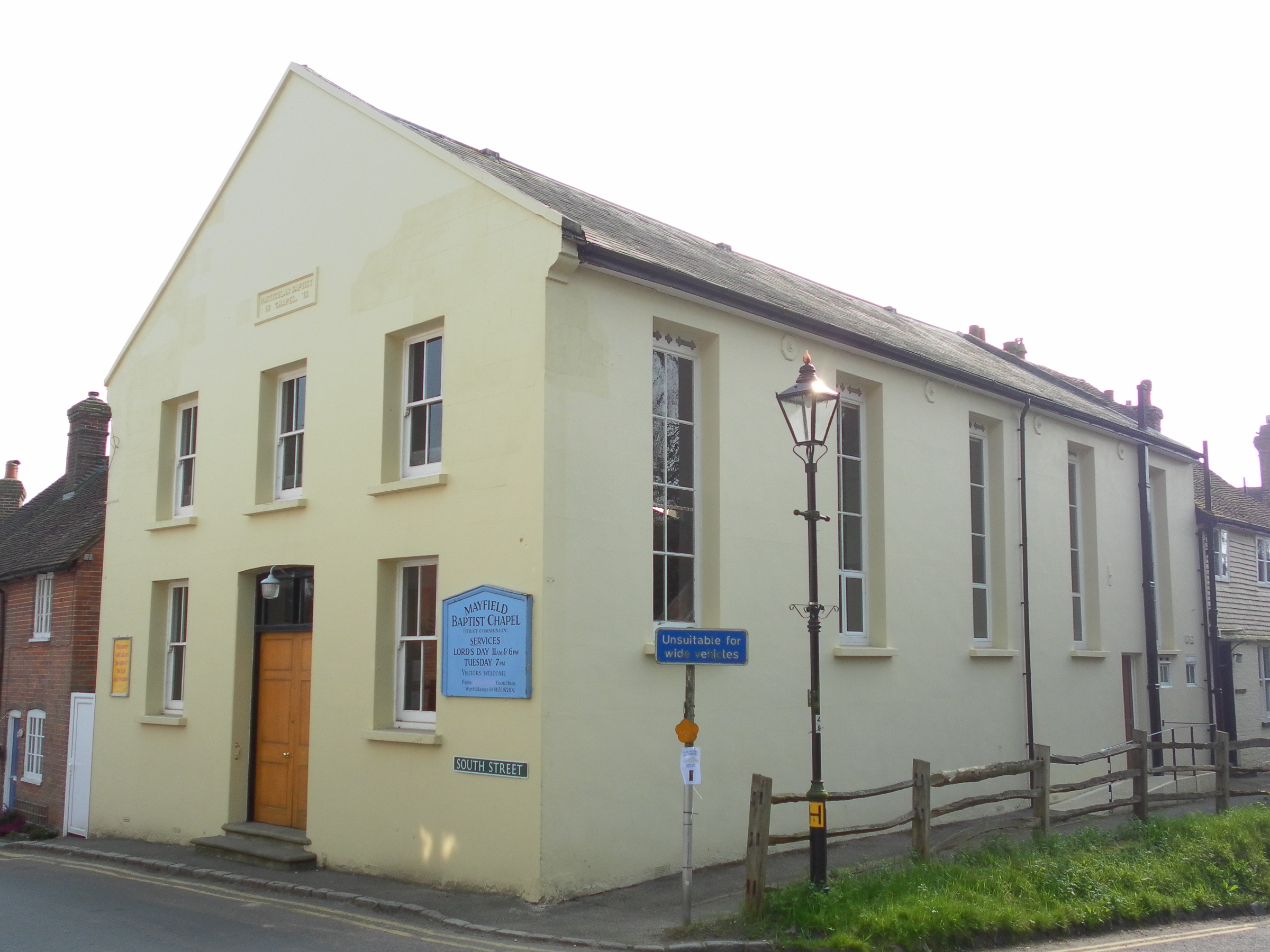
Mayfield Baptist Chapel
Mayfield Baptist Chapel, also known as Mayfield Strict Baptist Chapel, is a place of worship for Gospel Standard Strict Baptists in the village of Mayfield...
Mayfield and Five Ashes
Mayfield and Five Ashes is a civil parish in the High Weald of East Sussex, England. The two villages making up the principal part of the parish lie on...

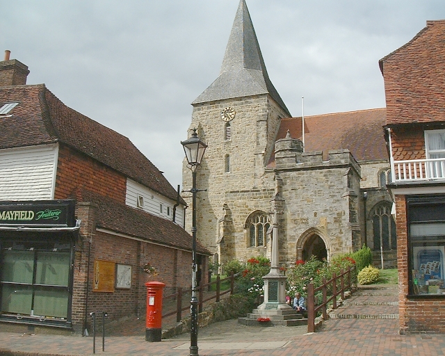
St Dunstan's Church, Mayfield
St Dunstan's, Mayfield in Mayfield, East Sussex was founded in 960 CE by St Dunstan, who was then Archbishop of Canterbury. It is reported as being originally...
Mayfield School, East Sussex
Mayfield School, previously St Leonards-Mayfield School, is an independent Catholic boarding and day school for girls aged 11 to 18. It is in the village...

Argos Hill Mill, Mayfield
Argos Hill Mill is a grade II* listed post mill at Argos Hill, Mayfield, East Sussex, England As of 2017 it is in the process of restoration by the Argos...

Wealden (UK Parliament constituency)
Wealden is a constituency represented in the House of Commons of the UK Parliament since 2015 by Nus Ghani, a Conservative. Ghani is the first Muslim woman...

Wealden District
Wealden is a local government district in East Sussex, England. Its council is based in Hailsham, the district's largest town. The district also includes...
Nearby Amenities
Located within 500m of 51.013199,0.24366362Have you been to Wellbrook?
Leave your review of Wellbrook below (or comments, questions and feedback).