Woolbridge
Settlement in Sussex Wealden
England
Woolbridge
Woolbridge is a picturesque village located in the county of Sussex, England. Situated on the banks of the River Wool, it is renowned for its natural beauty and charming atmosphere. With a population of approximately 2,000 residents, Woolbridge exudes a close-knit community feel.
The village is characterized by its idyllic countryside setting, surrounded by lush green fields and rolling hills. The River Wool, which meanders through the village, adds to its scenic charm, providing opportunities for leisurely walks and peaceful picnics along its banks.
Woolbridge is home to several historic landmarks, including St. Mary's Church, a Grade II listed building dating back to the 12th century. The church's stunning architecture and intricate stained glass windows attract visitors from near and far.
The village also boasts a range of amenities to cater to its residents' needs. There are quaint local shops, a post office, and a village hall that hosts various community events throughout the year. Additionally, Woolbridge has a primary school, ensuring that local children have access to quality education.
For nature enthusiasts, the surrounding countryside offers ample opportunities for outdoor activities such as hiking, cycling, and birdwatching. The nearby Woolbridge Woods is a popular destination for nature walks, with its diverse flora and fauna.
Overall, Woolbridge is a charming village that combines natural beauty with a strong sense of community. Its historic landmarks, amenities, and stunning countryside make it an appealing place to live or visit for those seeking a peaceful and picturesque retreat in Sussex.
If you have any feedback on the listing, please let us know in the comments section below.
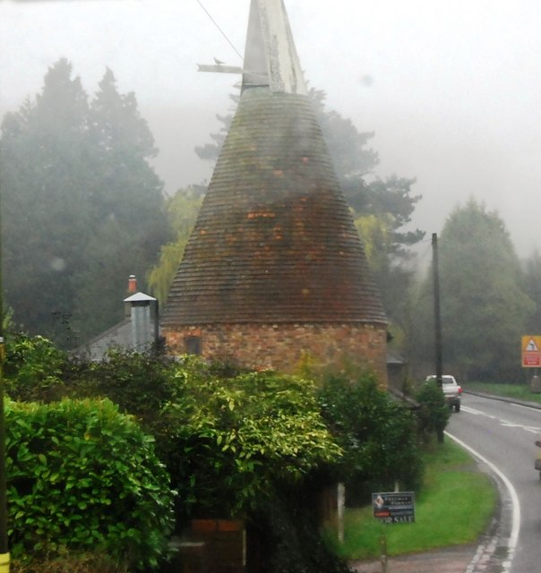
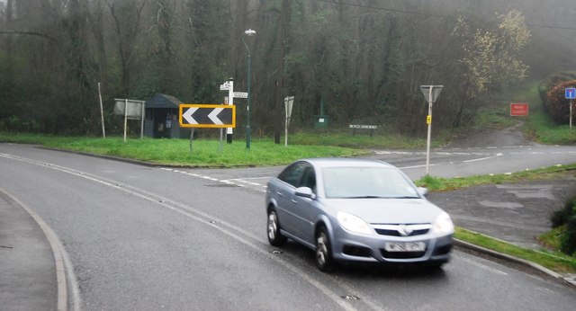
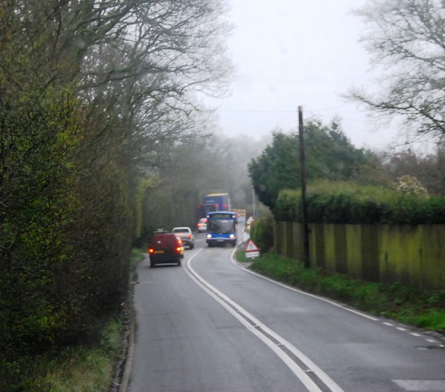
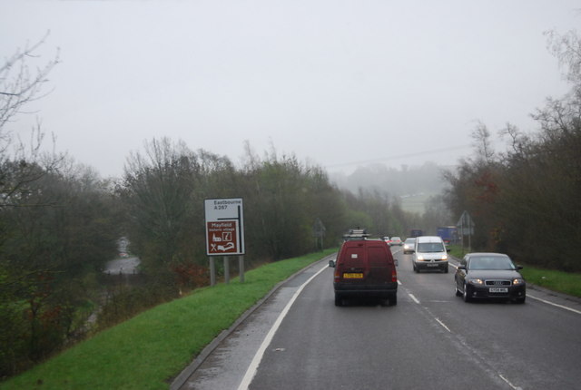
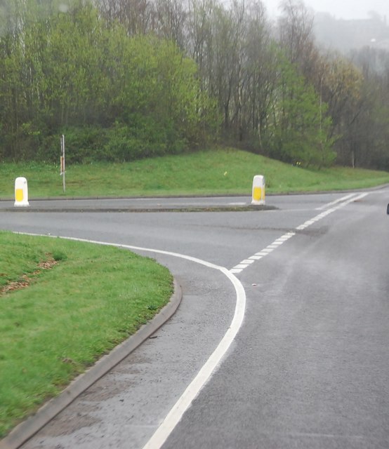
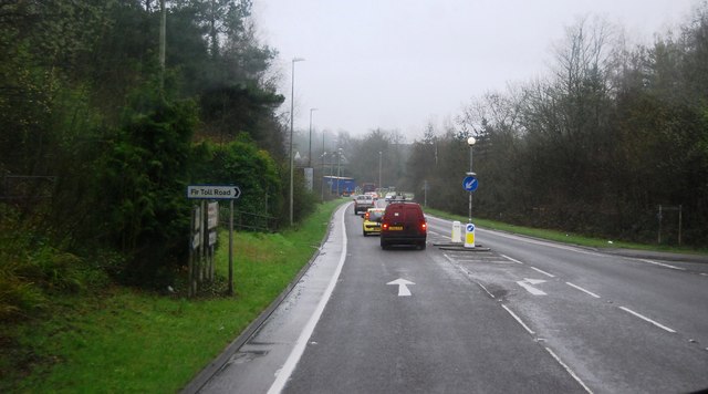
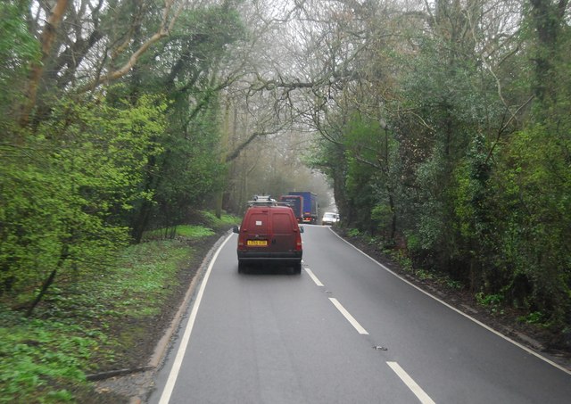
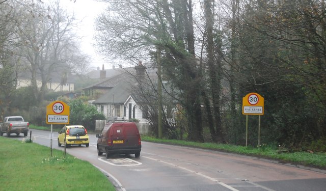
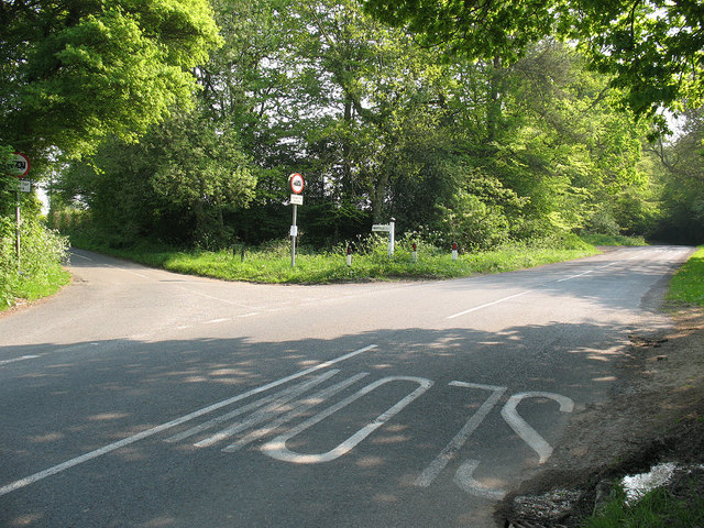
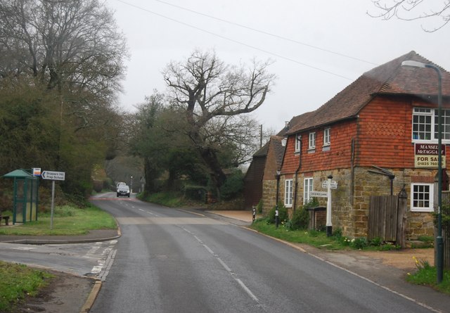
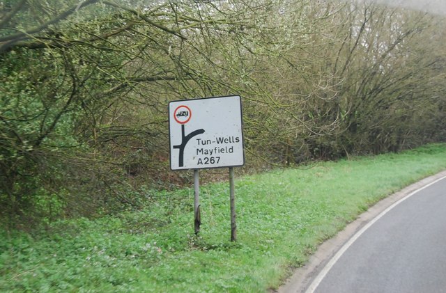
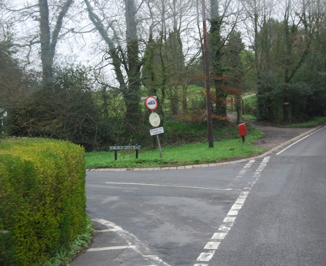
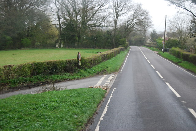
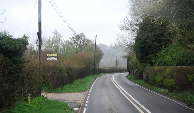
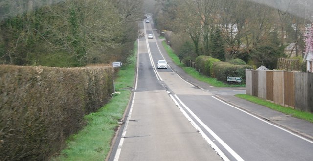
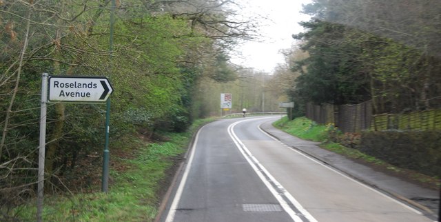
Woolbridge Images
Images are sourced within 2km of 51.017954/0.2391308 or Grid Reference TQ5726. Thanks to Geograph Open Source API. All images are credited.


Woolbridge is located at Grid Ref: TQ5726 (Lat: 51.017954, Lng: 0.2391308)
Administrative County: East Sussex
District: Wealden
Police Authority: Sussex
What 3 Words
///roadshow.flagged.reinforce. Near Town Row, East Sussex
Nearby Locations
Related Wikis

Mayfield railway station
Mayfield was a railway station on the now closed Eridge to Polegate cross country line (the Cuckoo Line). It was built by London, Brighton and South Coast...
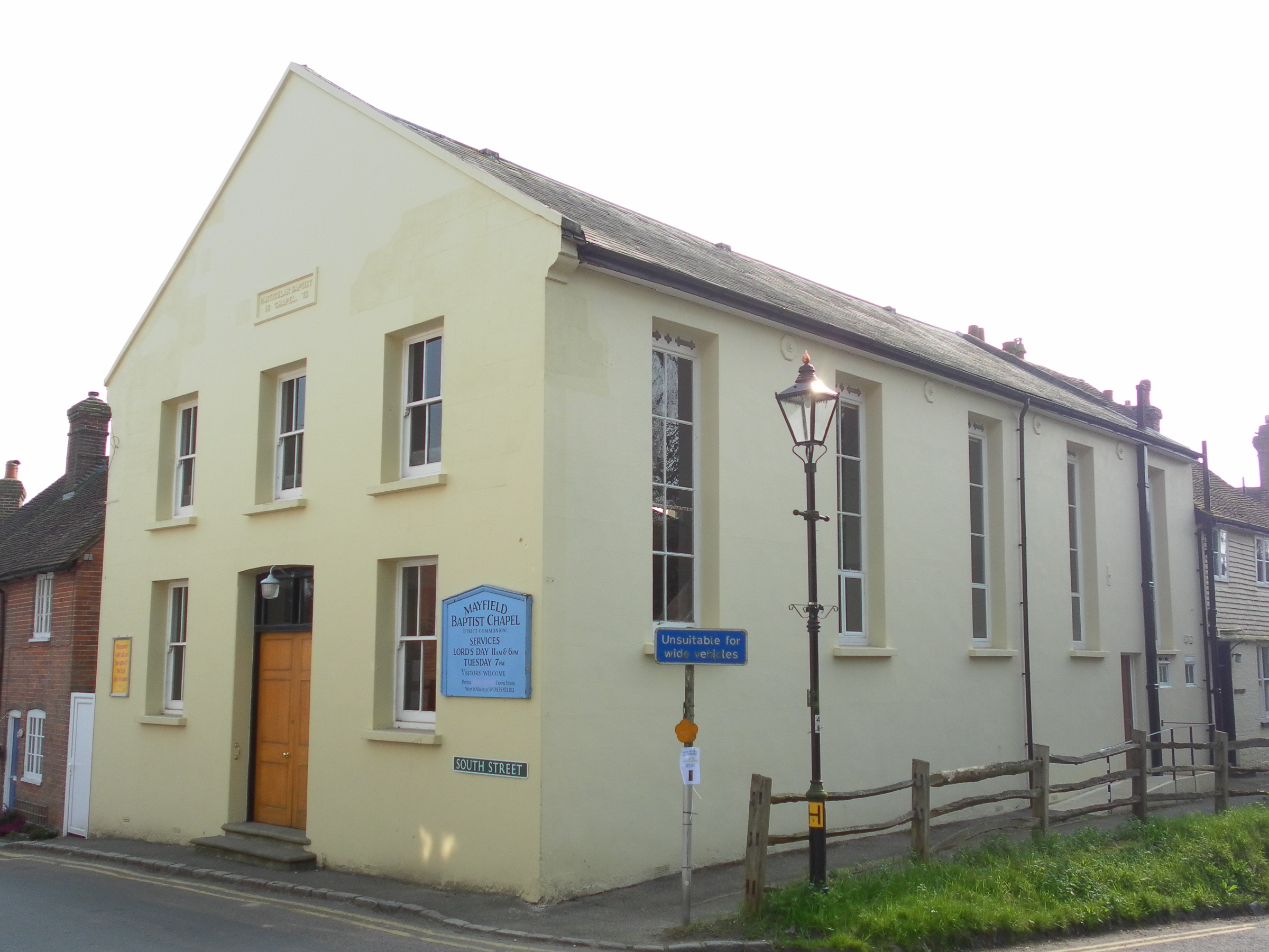
Mayfield Baptist Chapel
Mayfield Baptist Chapel, also known as Mayfield Strict Baptist Chapel, is a place of worship for Gospel Standard Strict Baptists in the village of Mayfield...
Mayfield and Five Ashes
Mayfield and Five Ashes is a civil parish in the High Weald of East Sussex, England. The two villages making up the principal part of the parish lie on...

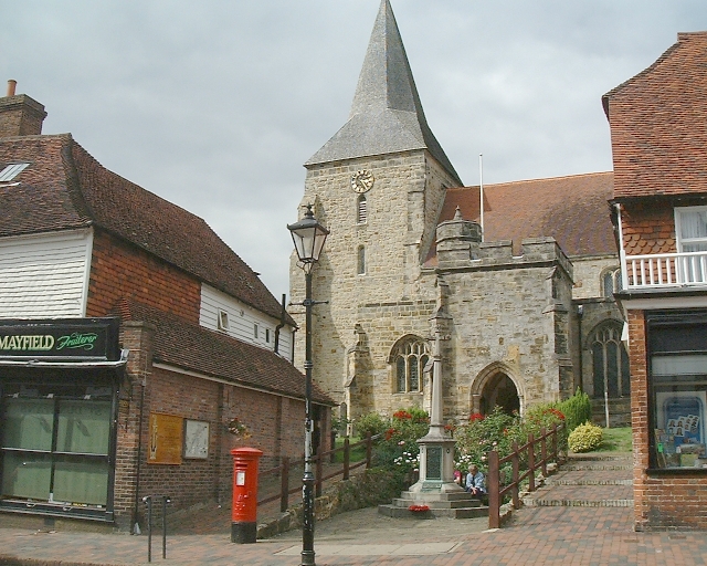
St Dunstan's Church, Mayfield
St Dunstan's, Mayfield in Mayfield, East Sussex was founded in 960 CE by St Dunstan, who was then Archbishop of Canterbury. It is reported as being originally...
Mayfield School, East Sussex
Mayfield School, previously St Leonards-Mayfield School, is an independent Catholic boarding and day school for girls aged 11 to 18. It is in the village...

Argos Hill Mill, Mayfield
Argos Hill Mill is a grade II* listed post mill at Argos Hill, Mayfield, East Sussex, England As of 2017 it is in the process of restoration by the Argos...

Wealden (UK Parliament constituency)
Wealden is a constituency represented in the House of Commons of the UK Parliament since 2015 by Nus Ghani, a Conservative. Ghani is the first Muslim woman...

Wealden District
Wealden is a local government district in East Sussex, England. Its council is based in Hailsham, the district's largest town. The district also includes...
Nearby Amenities
Located within 500m of 51.017954,0.2391308Have you been to Woolbridge?
Leave your review of Woolbridge below (or comments, questions and feedback).