Wellbank

Settlement in Angus

Scotland

Wellbank

Chapel Road near Gagie Looking northward.
Chapel Road near Gagie Credit: Peter Wood

Wellbank is a small village located in the county of Angus, Scotland. Situated approximately 5 miles to the west of the town of Dundee, Wellbank is nestled amidst the picturesque countryside, offering residents and visitors a peaceful and scenic environment.

With its origins dating back to the 18th century, Wellbank has a rich history that can be traced through its charming old buildings and landmarks. The village primarily comprises residential properties, and the tight-knit community fosters a friendly and welcoming atmosphere.

Wellbank is well-connected to surrounding areas, with good transportation links making it easily accessible. The nearby A90 road allows for convenient travel to Dundee and further afield, while the Dundee Airport is just a short drive away.

Despite its small size, Wellbank boasts a range of amenities to cater to the needs of its residents. These include a local shop, a primary school, and a community center, which serves as a hub for various activities and events. The village also benefits from its close proximity to Dundee, where residents can access a wider range of services, including shopping centers, healthcare facilities, and entertainment venues.

The natural beauty surrounding Wellbank provides ample opportunities for outdoor activities and leisure pursuits. The nearby countryside offers breathtaking views, and there are several walking and cycling paths for residents and visitors to explore and enjoy.

Overall, Wellbank is a charming village that offers a tranquil living environment while still providing easy access to nearby amenities and attractions.

If you have any feedback on the listing, please let us know in the comments section below.
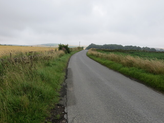
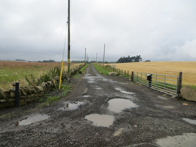
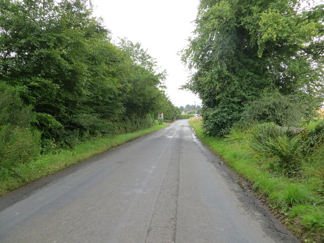
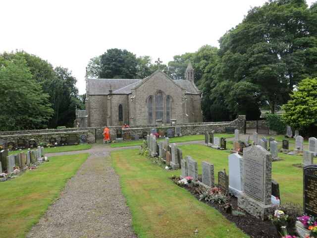
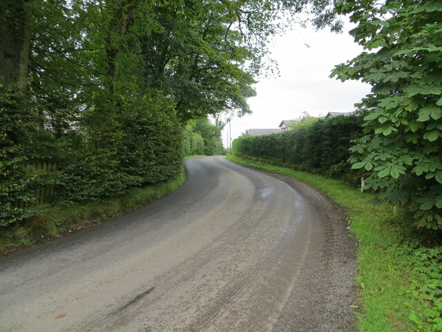
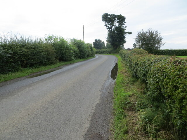
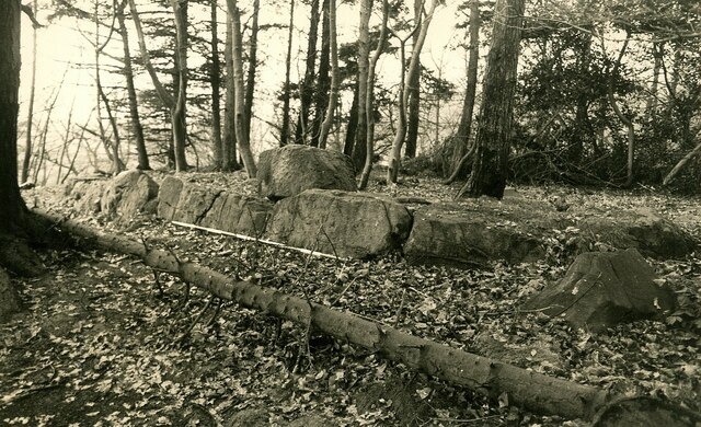
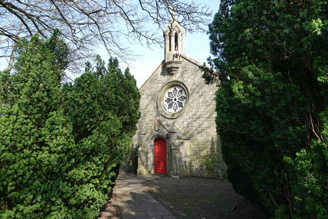
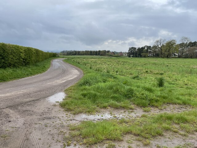
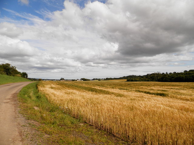
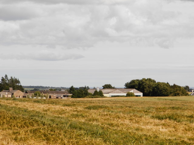
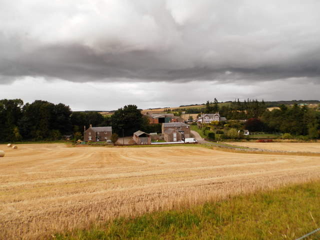
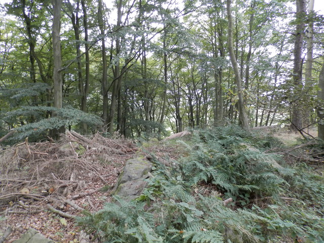
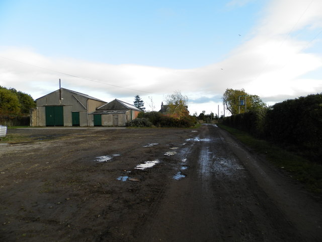
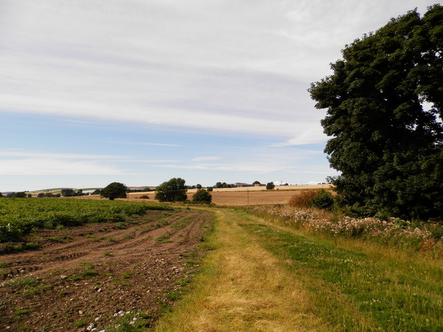
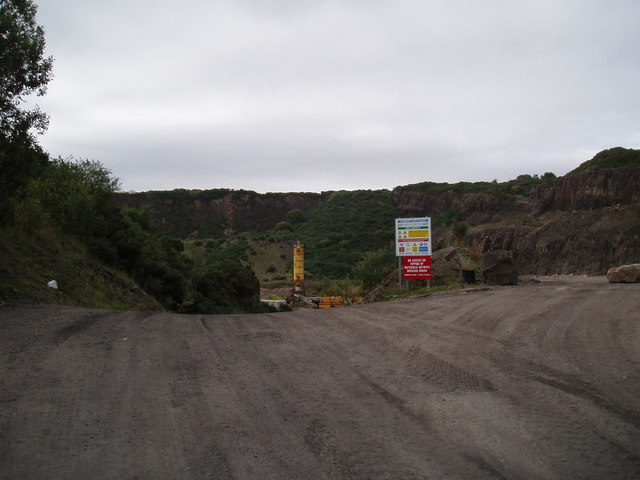
Wellbank Images

Images are sourced within 2km of 56.520717/-2.8637705 or Grid Reference NO4636. Thanks to Geograph Open Source API. All images are credited.

Chapel Road near Gagie Looking northward.
Chapel Road near Gagie
Looking northward.
Track through arable fields giving access to Easterton of Gagie Looking north-westward.
Track through arable fields giving access to Easterton of Gagie
Looking north-westward.
Chapel Road approaching Bucklerheads Looking south-eastward. Interestingly the farm is spelt Bucklershead.
Chapel Road approaching Bucklerheads
Looking south-eastward. Interestingly the farm is spelt Bucklershead.
Tree-lined road entering Kellas Looking south-eastward.
Tree-lined road entering Kellas
Looking south-eastward.
Murroes Church and part of its Burial Ground Viewed from the north-east. A blacksmith can be seen undertaking gate repairs.
Murroes Church and part of its Burial Ground
Viewed from the north-east. A blacksmith can be seen undertaking gate repairs.
Road at South Kingennie Looking westward.
Road at South Kingennie
Looking westward.
Road near to South Kingennie Looking south-eastward.
Road near to South Kingennie
Looking south-eastward.
St Bride's Ring An Iron Age fortification (Scale 2m) <span class="nowrap"><a title="https://monifiethhistorysociety.co.uk/2013/10/22/st-brides-ring/" rel="nofollow ugc noopener" href="https://monifiethhistorysociety.co.uk/2013/10/22/st-brides-ring/">Link</a><img style="margin-left:2px;" alt="External link" title="External link - shift click to open in new window" src="https://s1.geograph.org.uk/img/external.png" width="10" height="10"/></span>
St Bride's Ring
An Iron Age fortification (Scale 2m) LinkExternal link
Murroes Church There has been a church on this site in Murroes for hundreds of years. The current Parish Church was built in 1848 by William Scott on the site of a much older ecclesiastical building. The earliest date for a church here is 1211 when Gilchrist, Earl of Angus, granted the church to Arbroath Abbey. There are a number of carved stones from the earlier church (or churches) encorporated into the 19th century church, and an original burial vault from the earlier building survives.

A later church was built in 1642 but it is thought a 13th century church was located here originally. The current 1848 church re-uses a date stone (bearing 1642).

The private burial aisle of Colonel Fothringham and his family was built onto the church in the 18th century and documents show that the family contributed to its maintenance in 1809. (Taken from <span class="nowrap"><a title="http://www.scottishchurches.org.uk/sites/site/id/1434/image/8620/name/Murroes+Medieval+Church+Murroes+Tayside)" rel="nofollow ugc noopener" href="http://www.scottishchurches.org.uk/sites/site/id/1434/image/8620/name/Murroes+Medieval+Church+Murroes+Tayside)">Link</a><img style="margin-left:2px;" alt="External link" title="External link - shift click to open in new window" src="https://s1.geograph.org.uk/img/external.png" width="10" height="10"/></span>
Murroes Church
There has been a church on this site in Murroes for hundreds of years. The current Parish Church was built in 1848 by William Scott on the site of a much older ecclesiastical building. The earliest date for a church here is 1211 when Gilchrist, Earl of Angus, granted the church to Arbroath Abbey. There are a number of carved stones from the earlier church (or churches) encorporated into the 19th century church, and an original burial vault from the earlier building survives. A later church was built in 1642 but it is thought a 13th century church was located here originally. The current 1848 church re-uses a date stone (bearing 1642). The private burial aisle of Colonel Fothringham and his family was built onto the church in the 18th century and documents show that the family contributed to its maintenance in 1809. (Taken from LinkExternal link
Farm road leading in a Z shape to the village of Wellbank, north of Dundee Rural farm track leading to the curiously named collection of dwellings Shank of Omachie. Large arable fields surround the former and existing farm cottages here, with skylarks singing loudly.
Farm road leading in a Z shape to the village of Wellbank, north of Dundee
Rural farm track leading to the curiously named collection of dwellings Shank of Omachie. Large arable fields surround the former and existing farm cottages here, with skylarks singing loudly.
Track and field at Omachie, Kingennie
Field at Shank of Omachie
Farm at Omachie
Farm at Omachie
St Bride's Ring, Kingennie St Bride's Ring is now largely overgrown in a wooded hill near Kingennie.  It measured roughly 60 feet in diameter. Many of the large rocks which formed the 7 foot high wall lie below.
St Bride's ring has been classified as a broch by some authorities. It is similar to some of the ring forts of central Perthshire.
See also <span class="nowrap"><a title="http://www.monifiethhistorysociety.co.uk/2013/10/22/st-brides-ring/" rel="nofollow ugc noopener" href="http://www.monifiethhistorysociety.co.uk/2013/10/22/st-brides-ring/">Link</a><img style="margin-left:2px;" alt="External link" title="External link - shift click to open in new window" src="https://s1.geograph.org.uk/img/external.png" width="10" height="10"/></span>
St Bride's Ring, Kingennie
St Bride's Ring is now largely overgrown in a wooded hill near Kingennie. It measured roughly 60 feet in diameter. Many of the large rocks which formed the 7 foot high wall lie below. St Bride's ring has been classified as a broch by some authorities. It is similar to some of the ring forts of central Perthshire. See also LinkExternal link
Shank of Omachie
Shank of Omachie
Farmland to the south of Denhead
Cunmont Quarry
Cunmont Quarry
Show me another place!

Wellbank is located at Grid Ref: NO4636 (Lat: 56.520717, Lng: -2.8637705)

Unitary Authority: Angus

Police Authority: Tayside

What 3 Words

///punks.earplugs.speeded. Near Monifieth, Angus

Related Wikis

Wellbank

Wellbank is a village in Angus, Scotland. It lies approximately three miles north of Dundee, on the B978 road. == Local Bus Services in the Area == Based...

Gagie railway station

Gagie Halt railway station was a railway halt in Scotland, on the Dundee and Forfar direct line, built by the London, Midland and Scottish Railway. It...

Bucklerheads

Bucklershead is a village in Angus, Scotland. It lies approximately three miles north of Monifieth, on the B978 road. == References ==

Dundee East (UK Parliament constituency)

Dundee East is a constituency of the House of Commons of the Parliament of the United Kingdom (at Westminster). Created for the 1950 general election,...

Nearby Amenities

Located within 500m of 56.520717,-2.8637705
Bus Stop
Wellbank Forge
Local Ref: AT
Naptan AtcoCode: 6490IM170
Naptan Bearing: NE
Naptan CommonName: Wellbank Forge
Naptan Indicator: at
Naptan NaptanCode: 26425753
Naptan Street: Kellas Road
Naptan Verified: no
Source: naptan_import
Lat/Long: 56.5221146/-2.862125
Wellbank
Place: village
Population: 610
Wikidata: Q1009925
Wikipedia: en:Wellbank
Lat/Long: 56.5210095/-2.8614674
Historic: memorial
Memorial: war_memorial
Lat/Long: 56.5224461/-2.8612992
Power: pole
Lat/Long: 56.5196972/-2.8563134
Power: pole
Lat/Long: 56.5196137/-2.8560852
Power: pole
Lat/Long: 56.5167003/-2.8656463
Power: pole
Lat/Long: 56.5171271/-2.8658014
Power: pole
Lat/Long: 56.5175551/-2.8659167
Power: pole
Lat/Long: 56.5179599/-2.8660142
Power: pole
Lat/Long: 56.5183683/-2.8661096
Power: pole
Lat/Long: 56.5187413/-2.8668566
Power: pole
Lat/Long: 56.518899/-2.8671359
Power: pole
Lat/Long: 56.5193649/-2.8666748
Power: pole
Lat/Long: 56.5199928/-2.8660719
Power: pole
Lat/Long: 56.52068/-2.8659101
Power: pole
Lat/Long: 56.5213366/-2.8658125
Power: pole
Lat/Long: 56.5220091/-2.8656906
Power: pole
Lat/Long: 56.522327/-2.8647685
Power: pole
Lat/Long: 56.5191986/-2.8661561
Power: pole
Lat/Long: 56.5189968/-2.866626
Power: pole
Lat/Long: 56.5188269/-2.8678673
Power: pole
Lat/Long: 56.5218074/-2.8636513
Power: pole
Lat/Long: 56.5227819/-2.8657283
Power: pole
Lat/Long: 56.5232123/-2.866646
Power: pole
Lat/Long: 56.5234189/-2.868089
Power: pole
Lat/Long: 56.5235864/-2.8693702
The data included in this document is from www.openstreetmap.org. The data is made available under ODbL.

Have you been to Wellbank?

Leave your review of Wellbank below (or comments, questions and feedback).