Welland Stone

Settlement in Worcestershire Malvern Hills

England

Welland Stone

Track on Longdon Marsh The track follows a narrow strip of open access land on Longdon Marsh.
Track on Longdon Marsh Credit: Philip Halling

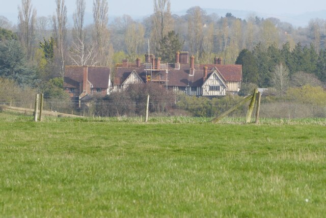
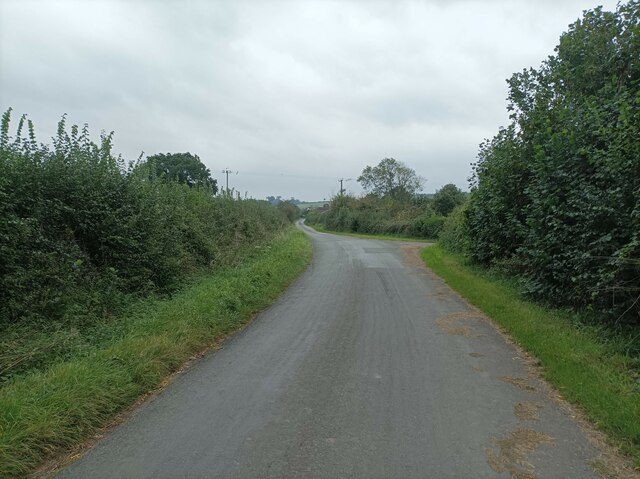
Welland Stone is a small village located in the county of Worcestershire, England. Situated on the eastern edge of the picturesque Malvern Hills, it is surrounded by stunning natural beauty and offers residents and visitors a tranquil and idyllic setting.

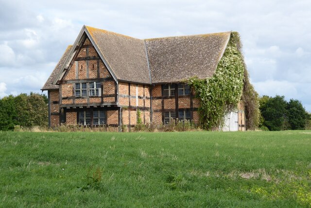
The village takes its name from the local limestone known as Welland Stone, which has been quarried in the area for centuries. This distinctive honey-colored stone has been used in the construction of many notable buildings in the region, including churches, manor houses, and cottages, contributing to the unique character of the area.

Welland Stone itself is a close-knit community with a population of around 1,000 residents. The village is home to a range of amenities, including a primary school, a village hall, and a local pub. It also benefits from being within easy reach of the larger towns of Malvern and Upton-upon-Severn, which offer a wider range of services and facilities.

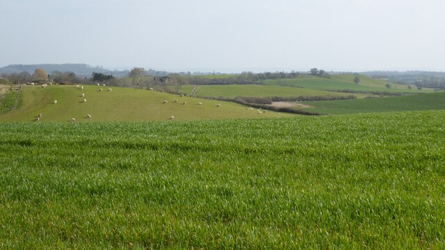
The surrounding countryside provides ample opportunities for outdoor pursuits, with the Malvern Hills offering beautiful walking trails and panoramic views. The nearby River Severn is also a popular spot for boating and fishing enthusiasts.

Overall, Welland Stone is a charming and historic village that offers a peaceful and picturesque lifestyle for its residents, while also attracting visitors who appreciate its natural beauty and heritage.

If you have any feedback on the listing, please let us know in the comments section below.

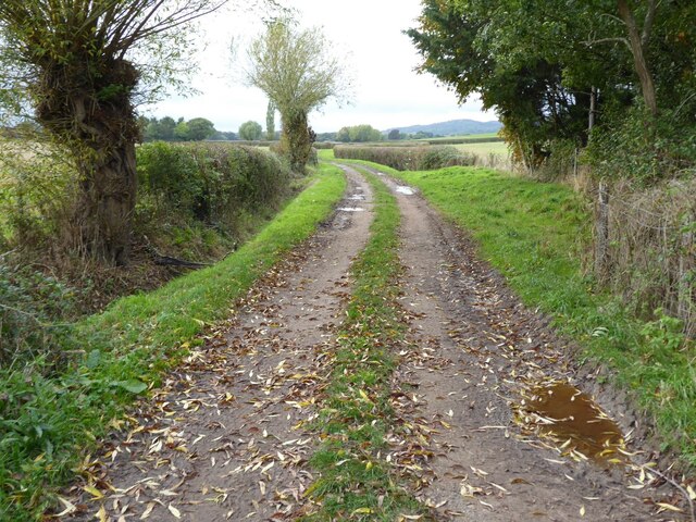
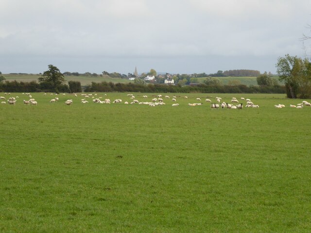
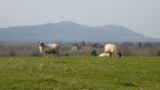
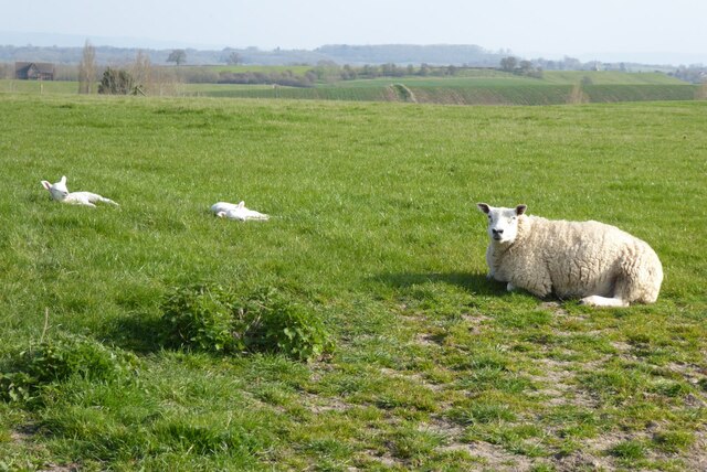
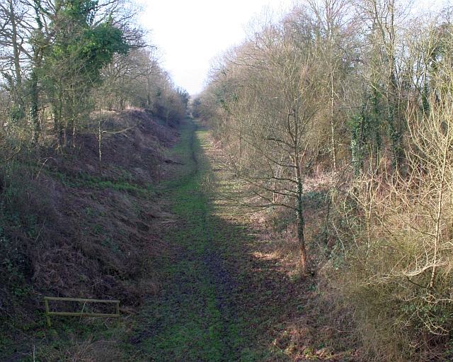
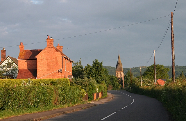
Welland Stone Images

Images are sourced within 2km of 52.048438/-2.2677498 or Grid Reference SO8138. Thanks to Geograph Open Source API. All images are credited.

Track on Longdon Marsh The track follows a narrow strip of open access land on Longdon Marsh.
Track on Longdon Marsh
The track follows a narrow strip of open access land on Longdon Marsh.
Longdon from Longdon Marsh The spire of Longdon church and some of the houses in the village viewed from the low lying Longdon Marsh.
Longdon from Longdon Marsh
The spire of Longdon church and some of the houses in the village viewed from the low lying Longdon Marsh.
Open access land on Longdon Marsh
Ditch draining Longdon Marsh
Flooding on Longdon March View over a flooded Longdon Marsh from near Hillend Court.  In the 1970s there were plans to construct a reservoir in the natural bowl of Longdon Marsh.
Flooding on Longdon March
View over a flooded Longdon Marsh from near Hillend Court. In the 1970s there were plans to construct a reservoir in the natural bowl of Longdon Marsh.
Flooding on Longdon Marsh View over a flooded Longdon Marsh from near Hillend Court.  In the 1970s there were plans to construct a reservoir in the natural bowl of Longdon Marsh.  The Cotswold Hills are on the horizon.
Flooding on Longdon Marsh
View over a flooded Longdon Marsh from near Hillend Court. In the 1970s there were plans to construct a reservoir in the natural bowl of Longdon Marsh. The Cotswold Hills are on the horizon.
Flooding on Longdon Marsh View over a flooded Longdon Marsh from near Hillend Court.  In the 1970s there were plans to construct a reservoir in the natural bowl of Longdon Marsh. The Cotswold Hills are on the horizon.
Flooding on Longdon Marsh
View over a flooded Longdon Marsh from near Hillend Court. In the 1970s there were plans to construct a reservoir in the natural bowl of Longdon Marsh. The Cotswold Hills are on the horizon.
Sheep at Longdon Hill End Sheep in a field at Longdon Hill End, with Welland Court in the middle distance and the Malvern Hills on the horizon.
Sheep at Longdon Hill End
Sheep in a field at Longdon Hill End, with Welland Court in the middle distance and the Malvern Hills on the horizon.
A ewe and lambs A Texel ewe and lambs basking in warm early spring sunshine at Longdon Hill End.
A ewe and lambs
A Texel ewe and lambs basking in warm early spring sunshine at Longdon Hill End.
Eastington Hall Eastington Hall is a Grade I listed medieval manor house near the site of the deserted medieval village of Eastington.  Here the house is viewed from the road at Longdon Hill End.  The Brook and Pevsner guide describes the manor house as 'a splendid large timber-framed house, the result of four or more distinct building phases.'  The core of the manor is a late 13th century hall remodelled around 1500 probably for William Brugge (or Bridges).  The house is privately owned.

The Tate Gallery website refers to Eastington Hall as one of the locations works of art were stored during WWII to protect them from bombing.

Link to Historic England description <span class="nowrap"><a title="https://historicengland.org.uk/listing/the-list/list-entry/1238530" rel="nofollow ugc noopener" href="https://historicengland.org.uk/listing/the-list/list-entry/1238530">Link</a><img style="margin-left:2px;" alt="External link" title="External link - shift click to open in new window" src="https://s1.geograph.org.uk/img/external.png" width="10" height="10"/></span>
Eastington Hall
Eastington Hall is a Grade I listed medieval manor house near the site of the deserted medieval village of Eastington. Here the house is viewed from the road at Longdon Hill End. The Brook and Pevsner guide describes the manor house as 'a splendid large timber-framed house, the result of four or more distinct building phases.' The core of the manor is a late 13th century hall remodelled around 1500 probably for William Brugge (or Bridges). The house is privately owned. The Tate Gallery website refers to Eastington Hall as one of the locations works of art were stored during WWII to protect them from bombing. Link to Historic England description LinkExternal link
Farmland at Longdon Hill End A view of rolling farmland above Longdon Marsh I have photographed through the seasons. <a href="https://www.geograph.org.uk/photo/6607925">SO8238 : Farmland at Longdon Heath</a>
Farmland at Longdon Hill End
A view of rolling farmland above Longdon Marsh I have photographed through the seasons. SO8238 : Farmland at Longdon Heath
Barn on Coneyburrow Hill Looking more like a house, this is actually an attractive timber-framed barn which I last photographed in 2007 <a href="https://www.geograph.org.uk/photo/391949">SO8337 : Barn to the north of Coneyburrow Hill</a>.
Barn on Coneyburrow Hill
Looking more like a house, this is actually an attractive timber-framed barn which I last photographed in 2007 SO8337 : Barn to the north of Coneyburrow Hill.
Timber-framed barn Looking more like a house, this is actually an attractive timber-framed barn
Timber-framed barn
Looking more like a house, this is actually an attractive timber-framed barn
Bridleway on Longdon Marsh Bridleway crossing Longdon Marsh to Drinkwater's Farm which stands on the higher ground in the background.
Bridleway on Longdon Marsh
Bridleway crossing Longdon Marsh to Drinkwater's Farm which stands on the higher ground in the background.
Bridleway to Longdon Bridleway to Longdon passing a small copse on Longdon Marsh.
Bridleway to Longdon
Bridleway to Longdon passing a small copse on Longdon Marsh.
Country lane A small country lane out of Castlemorton.
Country lane
A small country lane out of Castlemorton.
Beesoni Lodge A view down the lane towards Beesoni Lodge, a holiday cottage in Hillend.
Beesoni Lodge
A view down the lane towards Beesoni Lodge, a holiday cottage in Hillend.
Country lane A country lane leading towards Longdon Heath.
Country lane
A country lane leading towards Longdon Heath.
Show me another place!

Welland Stone is located at Grid Ref: SO8138 (Lat: 52.048438, Lng: -2.2677498)

Administrative County: Worcestershire

District: Malvern Hills

Police Authority: West Mercia

What 3 Words

///nipped.sands.throat. Near Upton upon Severn, Worcestershire

Nearby Locations

Welland Stone

Related Wikis

Brotheridge Green Nature Reserve

Brotheridge Green Nature Reserve is a nature reserve of the Worcestershire Wildlife Trust at Brotheridge Green, about 2.5 miles (4.0 km) west of Upton...

Welland, Worcestershire

Welland is a village and civil parish in the administrative district of Malvern Hills in the county of Worcestershire, England. It has a combined parish...

Castlemorton

Castlemorton is a village and civil parish close to Malvern in the Malvern Hills District in the county of Worcestershire, England. It consists of a...

Hanley Castle (castle)

Hanley Castle was a Norman castle that stood to the south of the present-day site of the village of Hanley Castle, which lies 2 km north of Upton-upon...

Nearby Amenities

Located within 500m of 52.048438,-2.2677498
Welland Court
Historic: farm
Source: OS 1:25k
Tourism: guest_house
Lat/Long: 52.0514504/-2.2730642
Welland Stone
Place: hamlet
Source Name: OS_OpenData_StreetView
Lat/Long: 52.0485851/-2.2681088
Power: pole
Lat/Long: 52.044675/-2.267573
Power: pole
Lat/Long: 52.0454899/-2.2678064
Power: pole
Lat/Long: 52.0462982/-2.2680384
Power: pole
Lat/Long: 52.0471131/-2.2682664
Power: pole
Lat/Long: 52.0476204/-2.2680277
Longdon Hill End North
Power: pole
Transformer: distribution
Voltage Primary: 11000
Lat/Long: 52.0481016/-2.2698569
Power: pole
Lat/Long: 52.0481342/-2.2691415
Power: pole
Lat/Long: 52.0481363/-2.2677863
Fairacres
Power: pole
Transformer: distribution
Voltage Primary: 11000
Lat/Long: 52.049065/-2.267345
Power: pole
Lat/Long: 52.04946/-2.2671439
Power: pole
Lat/Long: 52.0498423/-2.2676931
Power: pole
Lat/Long: 52.0505565/-2.2686882
Power: pole
Lat/Long: 52.0514559/-2.2686882
Lockeridge Farm
Power: pole
Transformer: distribution
Voltage Primary: 11000
Lat/Long: 52.0526323/-2.2688538
The data included in this document is from www.openstreetmap.org. The data is made available under ODbL.

Have you been to Welland Stone?

Leave your review of Welland Stone below (or comments, questions and feedback).