Aithnen

Settlement in Montgomeryshire

Wales

Aithnen

Llanfechain: former station, 1999 View SE to the former station, now a private house, on the ex-Cambrian Railways Llanymynech (to left) - (to right) Llanfyllin branch, closed 18/1/65. The hill ahead is Long Hill (286 ft.).
Llanfechain: former station, 1999 Credit: Ben Brooksbank

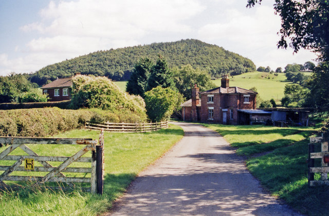
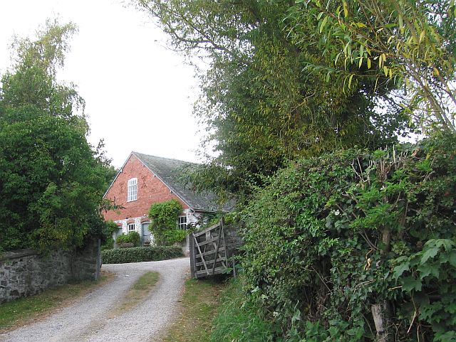
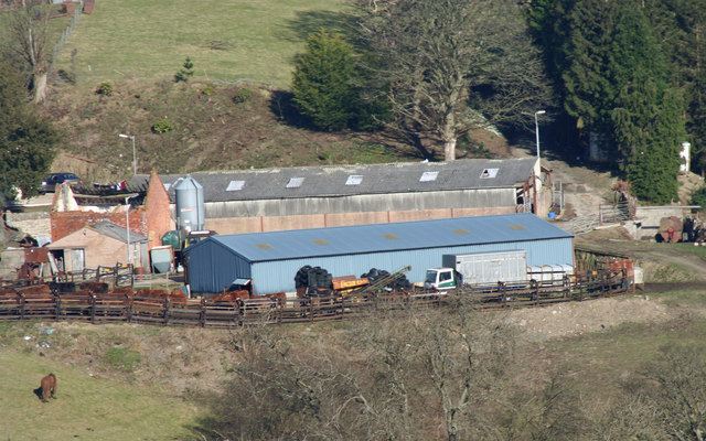
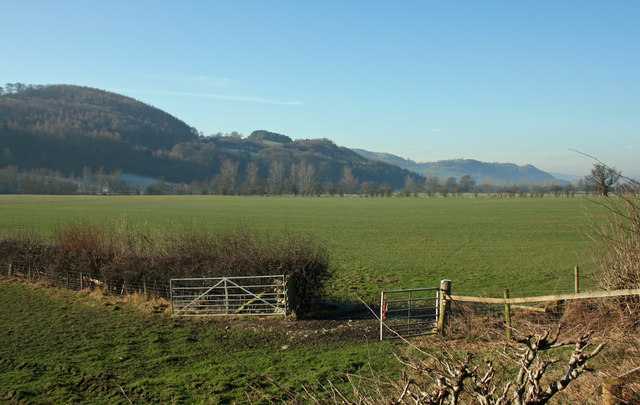
Aithnen is a picturesque village located in the county of Montgomeryshire, Wales. Situated in the heart of the beautiful Welsh countryside, the village is known for its breathtaking landscapes and charming rural atmosphere. With a population of around 500 residents, Aithnen offers a peaceful and close-knit community.

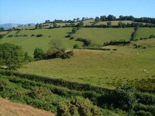
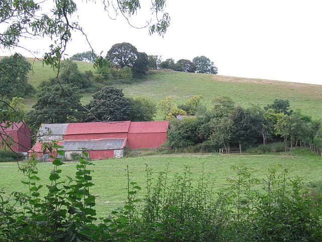
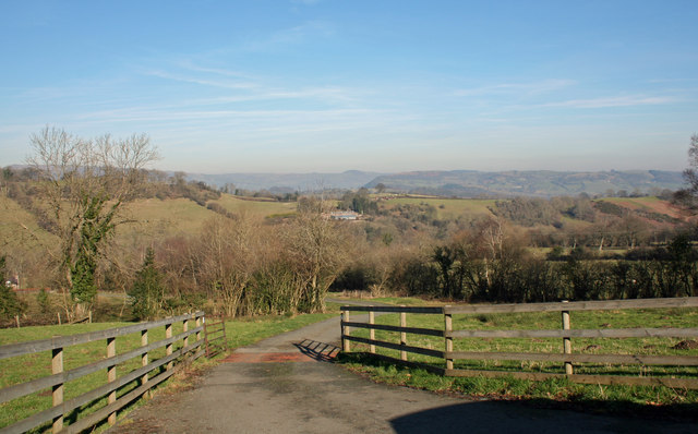
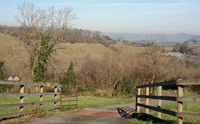
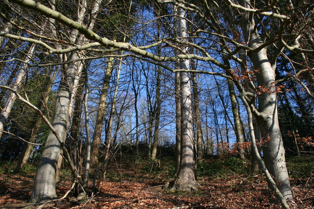
The village is surrounded by rolling hills and lush green fields, making it a haven for nature lovers and outdoor enthusiasts. It is also conveniently located near the River Severn, providing ample opportunities for fishing and boating activities. The surrounding area is dotted with numerous walking and cycling trails, offering visitors a chance to explore the stunning natural beauty of the region.

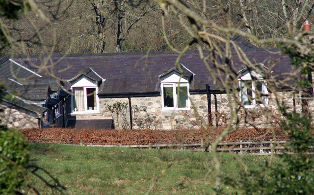
Aithnen boasts a rich history, with several historic buildings and landmarks. The village church, St. Mary's, is a prominent feature, known for its beautiful architecture and stained glass windows. The nearby Montgomery Castle, a medieval fortress, is a popular tourist attraction and provides stunning panoramic views of the surrounding countryside.

Despite its small size, Aithnen has a vibrant community spirit. The village hosts regular events and festivals, including a summer fair and a Christmas market, bringing locals and visitors together. There are also a few local pubs and restaurants, where one can enjoy traditional Welsh cuisine and hospitality.

Overall, Aithnen offers a peaceful escape from the hustle and bustle of city life, with its idyllic countryside setting, rich history, and warm community spirit.

If you have any feedback on the listing, please let us know in the comments section below.
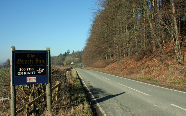
Aithnen Images

Images are sourced within 2km of 52.79108/-3.183361 or Grid Reference SJ2022. Thanks to Geograph Open Source API. All images are credited.

Llanfechain: former station, 1999 View SE to the former station, now a private house, on the ex-Cambrian Railways Llanymynech (to left) - (to right) Llanfyllin branch, closed 18/1/65. The hill ahead is Long Hill (286 ft.).
Llanfechain: former station, 1999
View SE to the former station, now a private house, on the ex-Cambrian Railways Llanymynech (to left) - (to right) Llanfyllin branch, closed 18/1/65. The hill ahead is Long Hill (286 ft.).
Old Milestone by the B4396, Abercynllaith, Llangedwyn parish Wrexham Plate by the B4396, in parish of Llangedwyn (Powys District), Abercynllaith, 400m West of entrance to Abercynllaith Farm, in bank, North side of road.

Inscription reads:-
WREXHAM DISTRICT
1894
DCC
WREXHAM 25
SHREWSBURY 21
OSWESTRY 9
LLANRHAIDR Y.M. 5

Grade II listed by Cadw.
Reference Number: 81945 <span class="nowrap"><a title="https://cadwpublic-api.azurewebsites.net/reports/listedbuilding/FullReport?lang=&id=81945" rel="nofollow ugc noopener" href="https://cadwpublic-api.azurewebsites.net/reports/listedbuilding/FullReport?lang=&id=81945">Link</a><img style="margin-left:2px;" alt="External link" title="External link - shift click to open in new window" src="https://s1.geograph.org.uk/img/external.png" width="10" height="10"/></span>

Surveyed

Milestone Society National ID: DEN_LRSA05
Old Milestone by the B4396, Abercynllaith, Llangedwyn parish
Wrexham Plate by the B4396, in parish of Llangedwyn (Powys District), Abercynllaith, 400m West of entrance to Abercynllaith Farm, in bank, North side of road. Inscription reads:- WREXHAM DISTRICT 1894 DCC WREXHAM 25 SHREWSBURY 21 OSWESTRY 9 LLANRHAIDR Y.M. 5 Grade II listed by Cadw. Reference Number: 81945 LinkExternal link Surveyed Milestone Society National ID: DEN_LRSA05
Brongain The tower at Brongrain Farm.
Brongain
The tower at Brongrain Farm.
Tower near Brongain, Llanfechain A fine brick tower with copper dome at this farm in the valley of the Afon Cain.
Tower near Brongain, Llanfechain
A fine brick tower with copper dome at this farm in the valley of the Afon Cain.
Gwern Pen-y-Nant The head of the valley of the Nant Pen-y-Groes seen across the lane from Bwlchyddar to Pen-y-bont. Another lane heading the same way can be seen on the far side of the valley.
Gwern Pen-y-Nant
The head of the valley of the Nant Pen-y-Groes seen across the lane from Bwlchyddar to Pen-y-bont. Another lane heading the same way can be seen on the far side of the valley.
Barns at Tynewydd Corrugated iron barns like these were relatively cheap and quick to put up.
Barns at Tynewydd
Corrugated iron barns like these were relatively cheap and quick to put up.
Ty Bain A well maintained farmhouse.
Ty Bain
A well maintained farmhouse.
The B4396 The wooded slopes of Yr Allt along the B4396 East towards Pen-y-Pont.
The B4396
The wooded slopes of Yr Allt along the B4396 East towards Pen-y-Pont.
200 yards on the right The B4396 borders a wooden slope (Yr Allt) before a right turn to The Green Inn Restaurant.
200 yards on the right
The B4396 borders a wooden slope (Yr Allt) before a right turn to The Green Inn Restaurant.
Wooded Slope Wooded slope along the B4396 heading West towards Llangedwyn.
Wooded Slope
Wooded slope along the B4396 heading West towards Llangedwyn.
Cottage Entrance Track off to the right to Wern Cottage along minor road towards Llanfechain.
Cottage Entrance
Track off to the right to Wern Cottage along minor road towards Llanfechain.
Undulating Route Minor road towards Llanfechain passing entrance to Wern Cottage.
Undulating Route
Minor road towards Llanfechain passing entrance to Wern Cottage.
Open View The cattle grided drive towards Gwern Pen-y-nant.
Open View
The cattle grided drive towards Gwern Pen-y-nant.
State Of Repair Buildings at Ty'n-yr-ywen with the house in a state of repair.
State Of Repair
Buildings at Ty'n-yr-ywen with the house in a state of repair.
Access Slope Driveway to Gwern Pen-y-nant seen to the left with Ty'n-yr-ywen in the distance to the right.
Access Slope
Driveway to Gwern Pen-y-nant seen to the left with Ty'n-yr-ywen in the distance to the right.
Pitched Roof The upper window level of Gwern Pen-y-nant.
Pitched Roof
The upper window level of Gwern Pen-y-nant.
Hill View View from B4396 West across River Tanant flood plain towards Coed Pen-isa'r-mynydd.
Hill View
View from B4396 West across River Tanant flood plain towards Coed Pen-isa'r-mynydd.
Wood From The Trees The wooded slopes of Yr Allt above the B4396.
Wood From The Trees
The wooded slopes of Yr Allt above the B4396.
Show me another place!

Aithnen is located at Grid Ref: SJ2022 (Lat: 52.79108, Lng: -3.183361)

Unitary Authority: Powys

Police Authority: Dyfed Powys

What 3 Words

///likes.rash.startles. Near Llanfechain, Powys

Nearby Locations

Berwyn Aithnen

Related Wikis

Aithnen

Aithnen is a small settlement in Powys, Wales. It is 10 kilometres (6 mi) southwest of the town of Oswestry. == External links == Aithnen at Streetmap...

Llansilin Road railway station

Llansilin Road railway station was a station on the Tanat Valley Light Railway in Llangedwyn, Powys, Wales. It had the "Road" suffix due to being 3 miles...

Abercynllaith

Abercynllaith, also sometimes referred to as Aberkenllith, is a hamlet, between Llangedwyn and Pen-y-bont in northeastern Powys, Wales. It lies to the...

Llanfechain railway station

Llanfechain railway station is a former station in Llanfechain, Powys, Wales. The station opened in 1865 and closed in 1965. The station site is now a...

Nearby Amenities

Located within 500m of 52.79108,-3.183361
The data included in this document is from www.openstreetmap.org. The data is made available under ODbL.

Have you been to Aithnen?

Leave your review of Aithnen below (or comments, questions and feedback).