Berwyn
Hill, Mountain in Montgomeryshire
Wales
Berwyn
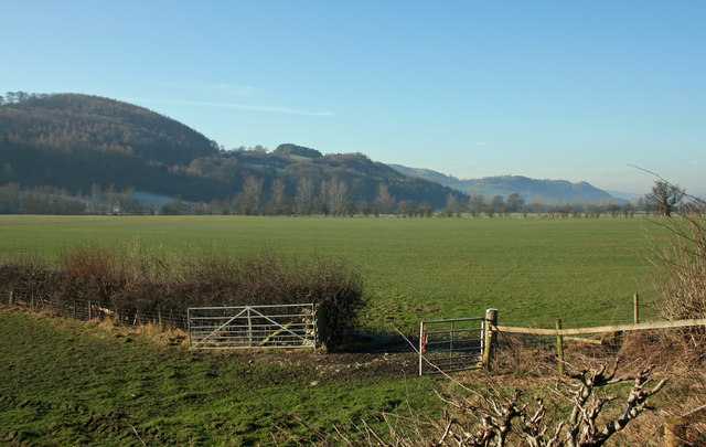
Berwyn, Montgomeryshire is a picturesque hill and mountain range located in the county of Powys, Wales, United Kingdom. Situated in the heart of the Berwyn Range, it spans an area of approximately 50 square miles.
With its highest peak, Cadair Berwyn, reaching an elevation of 832 meters (2,730 feet), Berwyn offers breathtaking panoramic views of the surrounding countryside. The range is characterized by its rugged terrain, deep valleys, and steep slopes, making it a popular destination for outdoor enthusiasts and nature lovers.
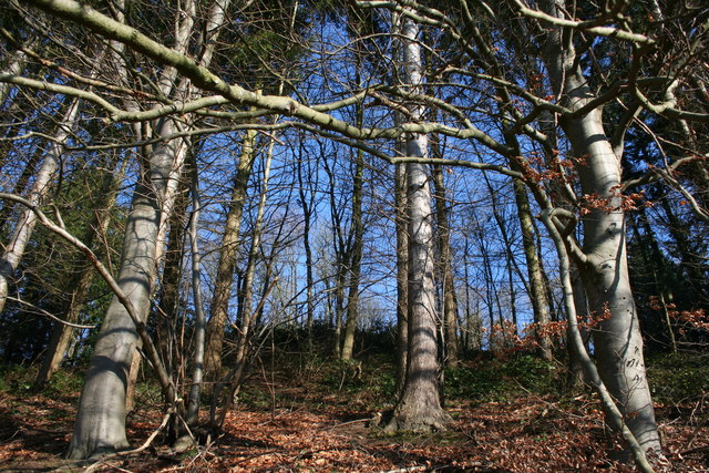
Berwyn is home to an abundance of wildlife and diverse plant species, including heather moorland, grasslands, and peat bogs. The range is known for its rich biodiversity, with several rare and protected species, such as the black grouse and the red kite, making it their habitat.
The area offers numerous opportunities for outdoor activities, including hiking, mountain biking, and birdwatching. There are several well-marked trails that traverse the range, allowing visitors to explore its beauty at their own pace. Along the way, hikers can discover hidden waterfalls, ancient ruins, and remnants of old mining activities.
In addition to its natural beauty, Berwyn also holds historical significance. The area is home to ancient stone circles and burial sites, providing insights into the region's past inhabitants. It is believed that these sites date back to the Bronze Age and offer a glimpse into the lives of the people who once called this area home.
Overall, Berwyn, Montgomeryshire is a captivating destination, offering a combination of stunning landscapes, outdoor adventures, and a glimpse into the region's rich history.
If you have any feedback on the listing, please let us know in the comments section below.
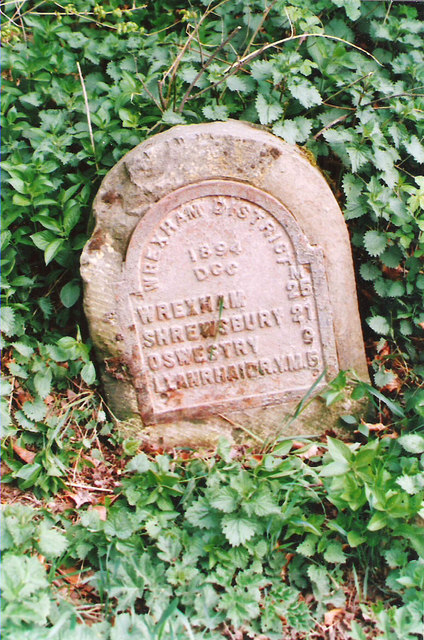
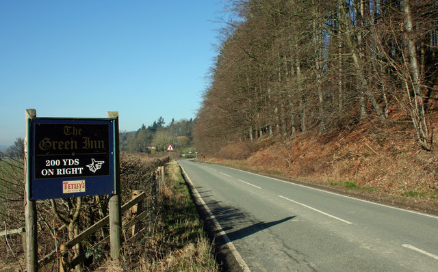
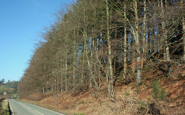
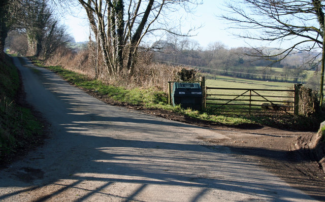
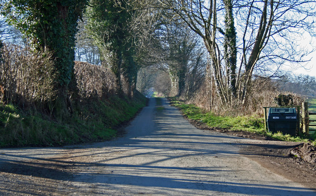
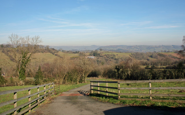
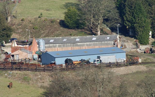
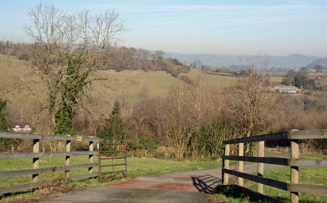
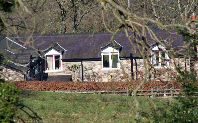
Berwyn Images
Images are sourced within 2km of 52.793582/-3.1750898 or Grid Reference SJ2022. Thanks to Geograph Open Source API. All images are credited.
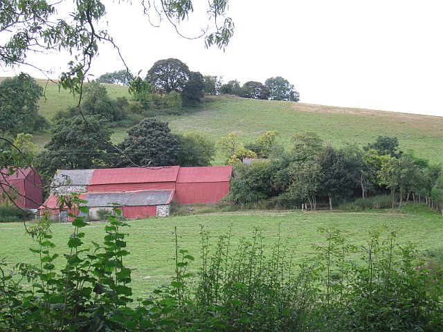
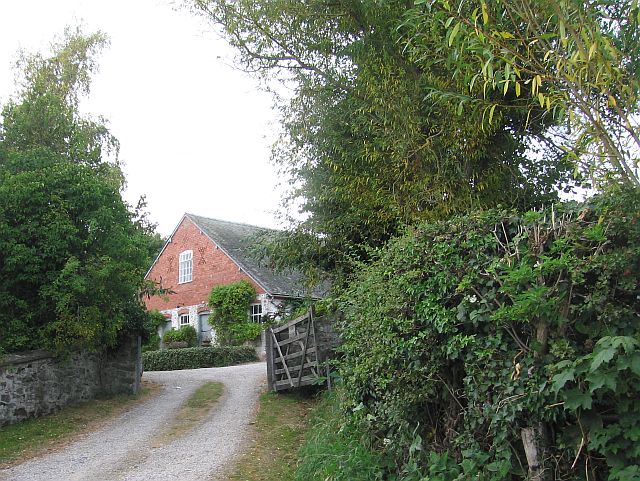
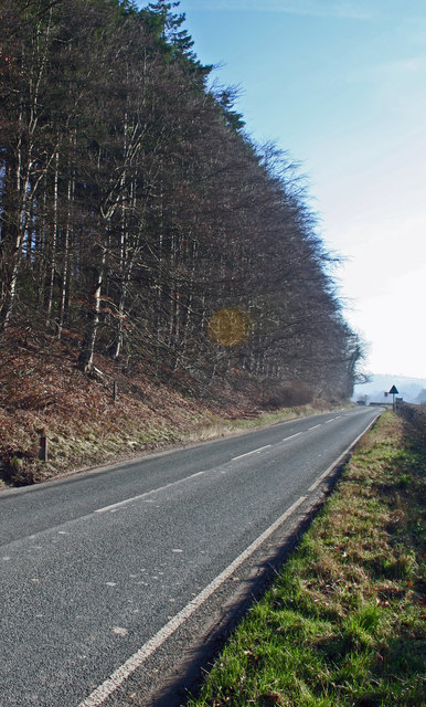


Berwyn is located at Grid Ref: SJ2022 (Lat: 52.793582, Lng: -3.1750898)
Unitary Authority: Powys
Police Authority: Dyfed Powys
What 3 Words
///admires.slave.buggy. Near Llanfechain, Powys
Related Wikis

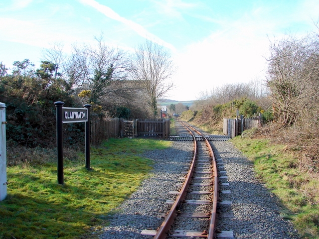
Llansilin Road railway station
Llansilin Road railway station was a station on the Tanat Valley Light Railway in Llangedwyn, Powys, Wales. It had the "Road" suffix due to being 3 miles...

Aithnen
Aithnen is a small settlement in Powys, Wales. It is 10 kilometres (6 mi) southwest of the town of Oswestry. == External links == Aithnen at Streetmap...

Abercynllaith
Abercynllaith, also sometimes referred to as Aberkenllith, is a hamlet, between Llangedwyn and Pen-y-bont in northeastern Powys, Wales. It lies to the...
Glanyrafon Halt railway station
Glanyrafon Halt railway station was a station on the Tanat Valley Light Railway, located a mile west of Llanyblodwel, Shropshire, England on the south...

Llanfechain railway station
Llanfechain railway station is a former station in Llanfechain, Powys, Wales. The station opened in 1865 and closed in 1965. The station site is now a...

Llansantffraid-ym-Mechain
Llansantffraid-ym-Mechain is a large village (in the community of Llansantffraid) in Powys, Mid Wales, close to the border with Shropshire in England,...
Deytheur Grammar School
Deytheur Grammar School was opened in 1896 at Llansantffraid-ym-Mechain, Wales. Notable pupils included John Fraser Drummond DFC a Battle of Britain ace...

Recreation Ground, Llansantffraid-ym-Mechain
The Recreation Ground, usually referred to as Treflan, is a football stadium in Llansantffraid-ym-Mechain, Powys, Wales and is the home of Mid Wales League...
Nearby Amenities
Located within 500m of 52.793582,-3.1750898Have you been to Berwyn?
Leave your review of Berwyn below (or comments, questions and feedback).