Wawne

Settlement in Yorkshire

England

Wawne

Walk  on  the  access  road  to  Carr  House  farm The home made footpath sign pointing the way
Walk on the access road to Carr House farm Credit: Martin Dawes

Wawne is a small village located in the East Riding of Yorkshire, England. Situated approximately 5 miles east of the city of Hull, it lies on the northern edge of the East Riding, near the border with the county of North Yorkshire. Wawne is part of the civil parish of Wawne and Skirlaugh.

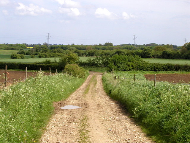
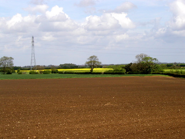
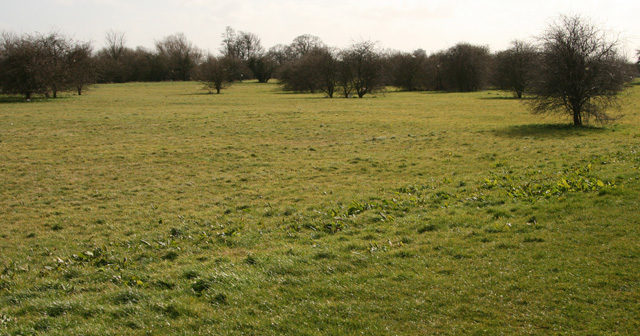
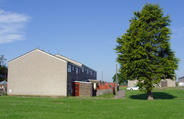
The village is known for its picturesque countryside, with rolling hills, green fields, and quaint cottages. It has a population of around 1,200 residents, making it a close-knit and tight community. The village is predominantly residential, with a mix of old and new houses.

Wawne is home to the Church of St. Peter and St. Paul, a Grade I listed building that dates back to the 12th century. The church is renowned for its beautiful stained-glass windows and impressive architecture, attracting visitors interested in history and architecture.

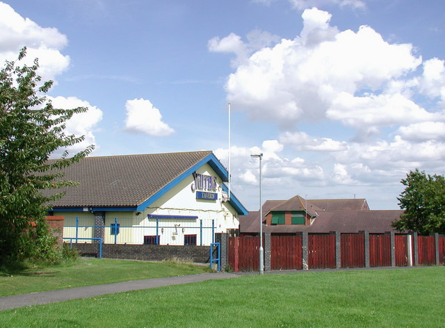
There are limited amenities within the village, with a small convenience store and a primary school catering to the local community. However, residents have easy access to nearby towns and cities for additional services and facilities.

Wawne is well-connected to the surrounding areas through a network of roads, including the A1033 and A165. This allows for easy commuting to Hull and other nearby towns, making it an attractive location for those seeking a peaceful rural lifestyle while still being within reach of urban amenities.

If you have any feedback on the listing, please let us know in the comments section below.
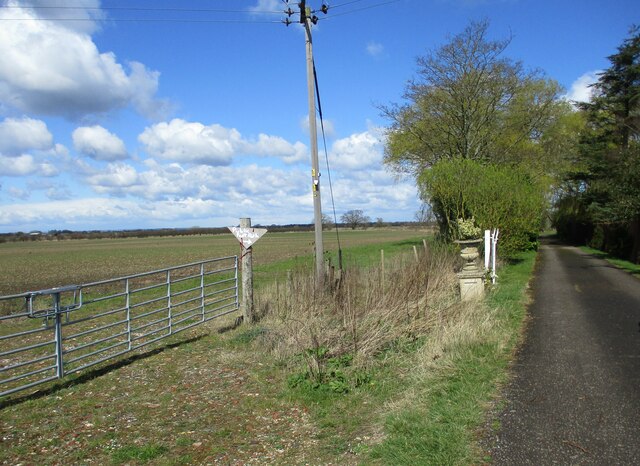
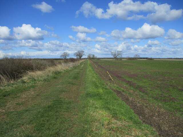
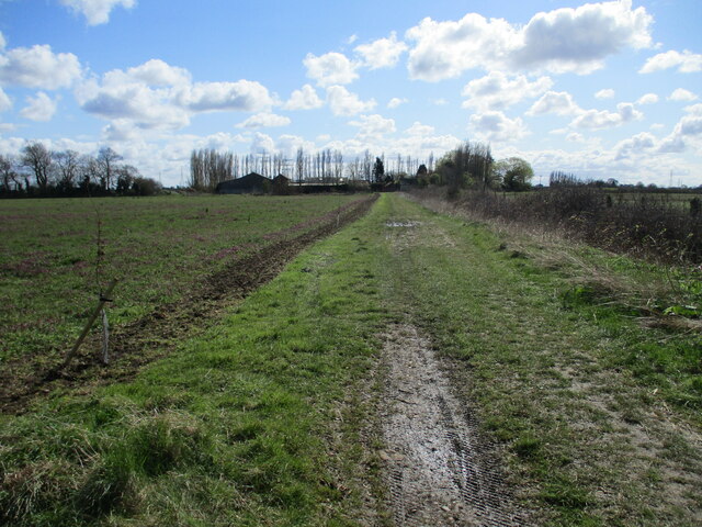
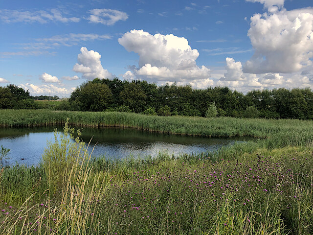
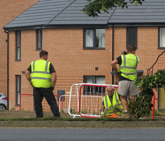
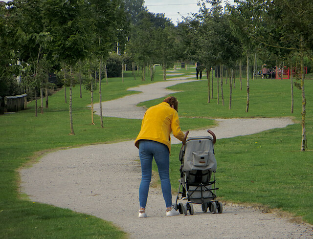
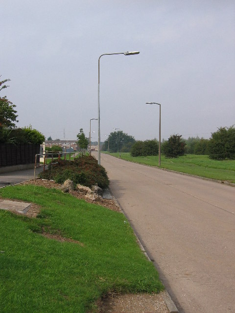
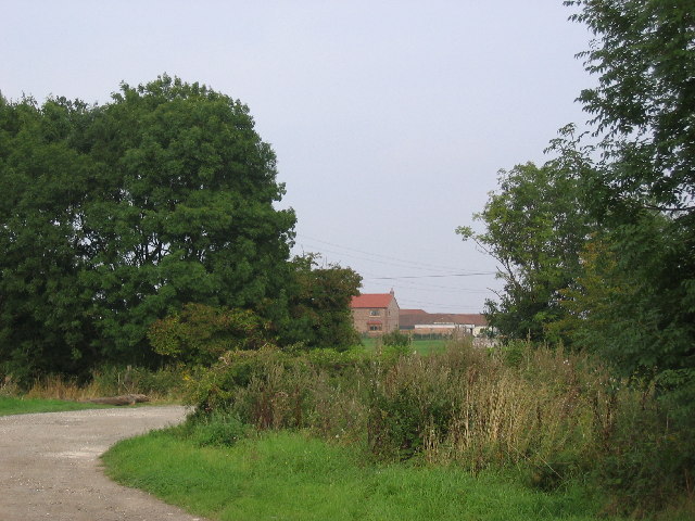
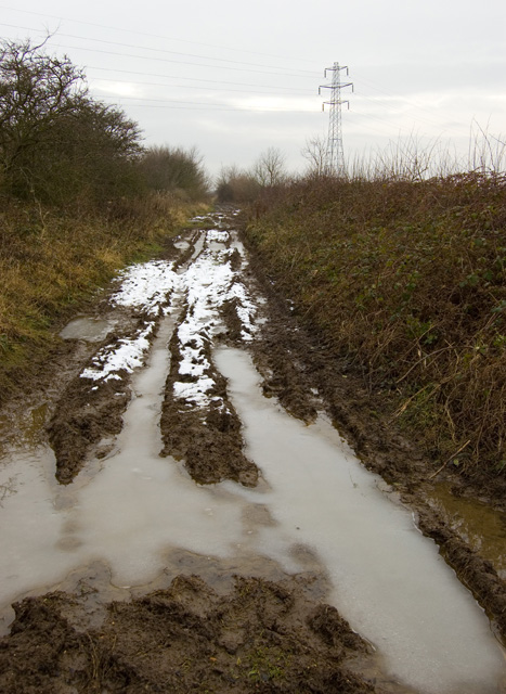
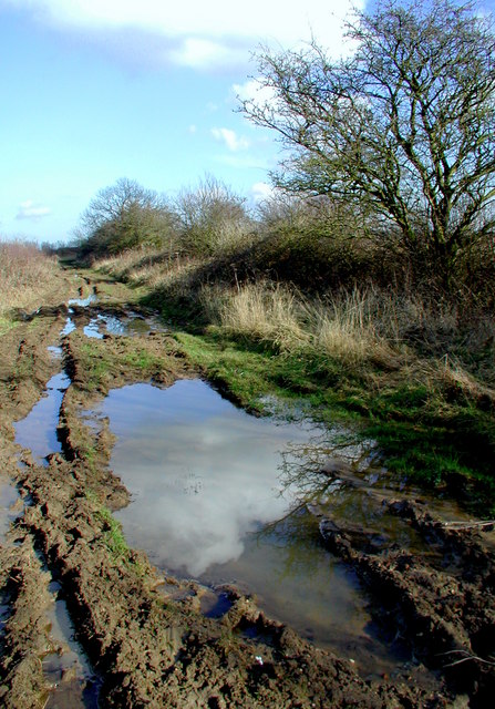
Wawne Images

Images are sourced within 2km of 53.816114/-0.342695 or Grid Reference TA0936. Thanks to Geograph Open Source API. All images are credited.

Walk  on  the  access  road  to  Carr  House  farm The home made footpath sign pointing the way
Walk on the access road to Carr House farm
The home made footpath sign pointing the way
Field  edge  track  and  footpath  north  of  Carr  House  farm To the right on the field edge a newly planted hedge with trees planted at regular intervals with wooden supports
Field edge track and footpath north of Carr House farm
To the right on the field edge a newly planted hedge with trees planted at regular intervals with wooden supports
Looking  back  to  Carr  House  farm Newly planted hedge left side of track
Looking back to Carr House farm
Newly planted hedge left side of track
Pond at Kingswood, Hull Arguably the most north-westerly point of the city of Hull, a sliver of wetland between the River Hull and Kingswood housing estate
Pond at Kingswood, Hull
Arguably the most north-westerly point of the city of Hull, a sliver of wetland between the River Hull and Kingswood housing estate
Turf laying, Hull These men were doing a spot of landscaping at the junction of Wawne Road and Diversity Drive, at the eastern edge of Kingswood Parks housing development.
Turf laying, Hull
These men were doing a spot of landscaping at the junction of Wawne Road and Diversity Drive, at the eastern edge of Kingswood Parks housing development.
The long and winding path, Hull The path runs along the north-western edge of the huge Kingswood housing development to the east of the River Hull.
The long and winding path, Hull
The path runs along the north-western edge of the huge Kingswood housing development to the east of the River Hull.
Bransholme Housing Estate View of the road on the NE edge of the housing estate which fills most of this grid square.
Bransholme Housing Estate
View of the road on the NE edge of the housing estate which fills most of this grid square.
Carlam Hill Farm The Bransholme Housing Estate is in the bottom SW corner of the grid square with the remainder being farmland.
Carlam Hill Farm
The Bransholme Housing Estate is in the bottom SW corner of the grid square with the remainder being farmland.
Common Lane This is a 'green lane' near to the village of Wawne.  It was very muddy in places even in the middle of May!
Common Lane
This is a 'green lane' near to the village of Wawne. It was very muddy in places even in the middle of May!
Holderness Farmland This is typical agricultural farmland in the Vale of Holderness.
Holderness Farmland
This is typical agricultural farmland in the Vale of Holderness.
Kinderscout Close, Hull On the North Bransholme Estate, seen from Pennine Way
Kinderscout Close, Hull
On the North Bransholme Estate, seen from Pennine Way
Green Space near the Old Main Drain To the north east of Bransholme, there is a wide green verge between the houses and the old drain.
Green Space near the Old Main Drain
To the north east of Bransholme, there is a wide green verge between the houses and the old drain.
Barmouth Close, Hull On the North Bransholme Estate
Barmouth Close, Hull
On the North Bransholme Estate
Skippers Tavern, North Bransholme One of the two estate pubs near the Grampian Centre on the south side of Grampian Way, North Bransholme.
Skippers Tavern, North Bransholme
One of the two estate pubs near the Grampian Centre on the south side of Grampian Way, North Bransholme.
A public inconvenience Disused public toilets on the south side of the Grampian Centre on Hull's North Bransholme estate.
A public inconvenience
Disused public toilets on the south side of the Grampian Centre on Hull's North Bransholme estate.
Common Lane Bridge, near Wawne Bridge over the Holderness Drain
Common Lane Bridge, near Wawne
Bridge over the Holderness Drain
Common Lane, near Wawne Near-impassable (on foot) bridleway between Fairholme and Wawne
Common Lane, near Wawne
Near-impassable (on foot) bridleway between Fairholme and Wawne
Glorious Common Lane at Turf Carrs, east of Wawne, on the public bridleway between Common Lane Bridge and Fairholme. There hasn't been much rain recently. The farmland between Wawne and neighbouring Swine has suffered from drainage problems throughout history and tracks like this one are almost always muddy. The "carrs" is a name often used in East Yorkshire and traditionally meant rough pasture on reclaimed marshland which was only suitable for grazing when the water level was low. These days the land is used all year round, sometimes for cattle grazing but mainly for growing cereal crops.
Glorious
Common Lane at Turf Carrs, east of Wawne, on the public bridleway between Common Lane Bridge and Fairholme. There hasn't been much rain recently. The farmland between Wawne and neighbouring Swine has suffered from drainage problems throughout history and tracks like this one are almost always muddy. The "carrs" is a name often used in East Yorkshire and traditionally meant rough pasture on reclaimed marshland which was only suitable for grazing when the water level was low. These days the land is used all year round, sometimes for cattle grazing but mainly for growing cereal crops.
Show me another place!

Wawne is located at Grid Ref: TA0936 (Lat: 53.816114, Lng: -0.342695)

Division: East Riding

Unitary Authority: East Riding of Yorkshire

Police Authority: Humberside

What 3 Words

///sober.scan.still. Near Dunswell, East Yorkshire

Nearby Locations

Wawne Up Croft

Related Wikis

Wawne

Wawne , also spelled Waghen, is a small village and civil parish in the East Riding of Yorkshire, England. The village is situated approximately 5.5 miles...
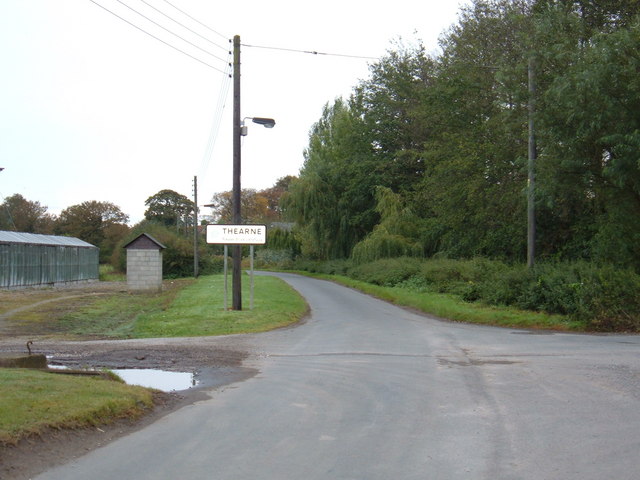
Thearne

Thearne is a hamlet and former civil parish, now in the parish of Woodmansey, in the East Riding of Yorkshire, England. In 1931 the parish had a population...

Kingswood, Kingston upon Hull

Kingswood, occasionally referred to as Kingswood Parks, is a modern housing estate on the northern fringe of Kingston upon Hull, England. Through much...

Lambwath Stream

Lambwath Stream (or Lambwath Drain), is a small beck in the Holderness area of the East Riding of Yorkshire, England. The stream is unusual in that despite...

Nearby Amenities

Located within 500m of 53.816114,-0.342695
Wawne
Place: village
Lat/Long: 53.8164017/-0.3462458
Bus Stop
Wawne Green Lane
Naptan AtcoCode: 2200YEA01551
Naptan Bearing: E
Naptan CommonName: Wawne Green Lane
Naptan Crossing: Glebe Farm
Naptan Landmark: School
Naptan Street: Greens Lane
Note: no code on sign
Shelter: no
Source: naptan + survey
Lat/Long: 53.8170685/-0.3495591
Bus Stop
Wawne Main Street
Naptan AtcoCode: 2200YEA11704
Naptan Bearing: W
Naptan CommonName: Wawne Main Street
Naptan Crossing: Opp Oak Square
Naptan Landmark: Opposite number 48
Naptan ShortCommonName: Main Street Wawne
Naptan Street: Main Street
Note: no code on sign
Shelter: no
Source: naptan + survey
Lat/Long: 53.817062/-0.347782
Bus Stop
Wawne Main Street
Naptan AtcoCode: 2200YEA11705
Naptan Bearing: E
Naptan CommonName: Wawne Main Street
Naptan Landmark: Village Hall
Naptan ShortCommonName: Main Street Wawne
Naptan Street: Main Street
Note: no code on sign
Shelter: no
Source: naptan + survey
Lat/Long: 53.8170172/-0.3464925
Bus Stop
Wawne Main Street
Naptan AtcoCode: 2200YEA11706
Naptan Bearing: W
Naptan CommonName: Wawne Main Street
Naptan Crossing: Church Road
Naptan Landmark: Outside number 1
Naptan ShortCommonName: Main Street Wawne
Naptan Street: Main Street
Note: no code on sign
Shelter: no
Source: naptan + survey
Lat/Long: 53.8164984/-0.3447204
Bus Stop
Wawne Main Street
Naptan AtcoCode: 2200YEA11707
Naptan Bearing: NW
Naptan CommonName: Wawne Main Street
Naptan Crossing: Opposite Meaux Road
Naptan Landmark: Outside Citizen Link
Naptan ShortCommonName: Main Street Wawne
Naptan Street: Main Street
Note: no code on sign
Shelter: no
Source: naptan + survey
Lat/Long: 53.8160752/-0.3427167
Bus Stop
Wawne Sutton Road
Naptan AtcoCode: 2200YEA11708
Naptan Bearing: SE
Naptan CommonName: Wawne Sutton Road
Naptan Crossing: Meaux Road
Naptan Landmark: Near Public House
Naptan ShortCommonName: Sutton Road Wawne
Naptan Street: Sutton Road
Note: no code on sign
Shelter: no
Source: naptan + survey
Lat/Long: 53.8160661/-0.3424671
Post Box
Post Box Type: pillar
Royal Cypher: EIIR
Royal Cypher Wikidata: Q33102113
Lat/Long: 53.8171455/-0.3482668
Power: tower
Lat/Long: 53.8133936/-0.3431181
Power: tower
Lat/Long: 53.8138616/-0.3386251
Power: pole
Lat/Long: 53.8127536/-0.3379048
Power: pole
Lat/Long: 53.8128257/-0.3394022
Power: pole
Lat/Long: 53.8130042/-0.3417129
Power: pole
Lat/Long: 53.8132798/-0.345738
Power: pole
Lat/Long: 53.8134709/-0.3481193
Telephone
Booth: K8
Colour: white
Covered: booth
Listed Status: Grade II
Phone: +44 1482 823905
Lat/Long: 53.8160473/-0.3427375
Man Made: pumping_station
Lat/Long: 53.8159128/-0.3426439
The data included in this document is from www.openstreetmap.org. The data is made available under ODbL.

Have you been to Wawne?

Leave your review of Wawne below (or comments, questions and feedback).