Wawcott
Settlement in Berkshire
England
Wawcott

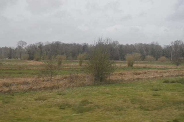
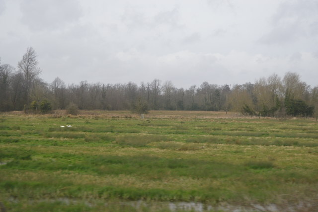
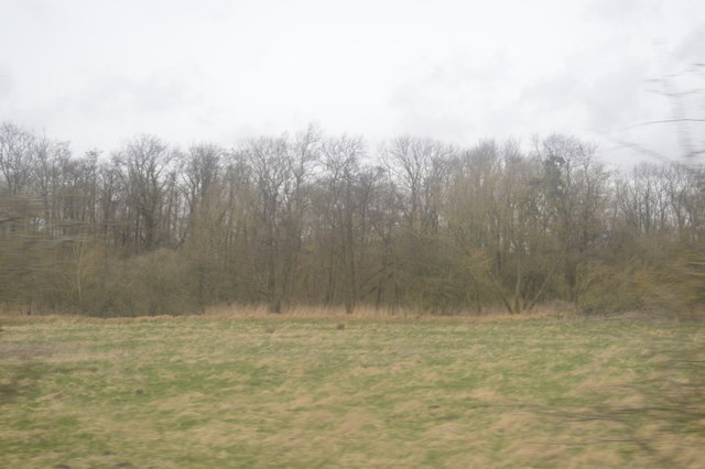
Wawcott is a small village located in the county of Berkshire, England. Situated in the south-eastern part of the county, it is part of the local government district of West Berkshire. The village is nestled amidst picturesque countryside, characterized by rolling hills and green fields, offering a tranquil and idyllic setting.
The origins of Wawcott can be traced back to medieval times, with evidence of human habitation in the area dating back to the 12th century. Throughout its history, the village has maintained its rural charm and traditional character, with a scattering of charming cottages and old farmhouses dotting the landscape.
Despite its small size, Wawcott boasts a tight-knit community, with friendly and welcoming locals. The village has a close relationship with the neighboring communities, often participating in joint events and activities. The community spirit is further fostered by the presence of a village hall, which serves as a hub for various social gatherings and events.
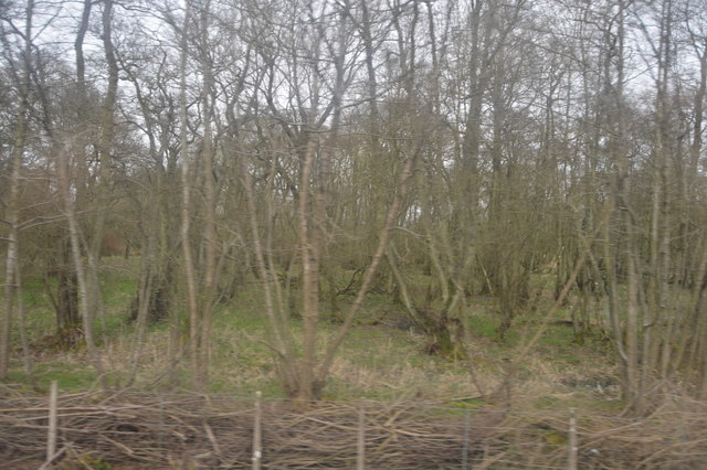
The surrounding countryside offers ample opportunities for outdoor activities, with several walking and cycling trails crisscrossing the area. Nature lovers can appreciate the stunning scenery and wildlife, while history enthusiasts can explore the nearby historic sites and landmarks.
Although Wawcott does not have its own school or shops, the village is conveniently located near larger towns, offering easy access to essential amenities and services. The village's peaceful atmosphere and scenic surroundings make it an ideal place for those seeking a tranquil rural retreat within close proximity to urban conveniences.
If you have any feedback on the listing, please let us know in the comments section below.
Wawcott Images
Images are sourced within 2km of 51.409688/-1.4406544 or Grid Reference SU3968. Thanks to Geograph Open Source API. All images are credited.


Wawcott is located at Grid Ref: SU3968 (Lat: 51.409688, Lng: -1.4406544)
Unitary Authority: West Berkshire
Police Authority: Thames Valley
What 3 Words
///absorb.washed.limbs. Near Kintbury, Berkshire
Nearby Locations
Related Wikis
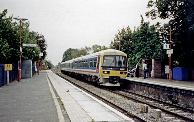
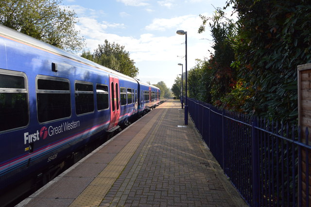
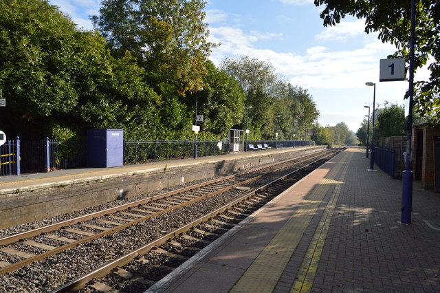
Kintbury railway station
Kintbury railway station serves the village of Kintbury in Berkshire, England. It is situated on the Reading to Taunton Line, 58 miles 38 chains (58.48...
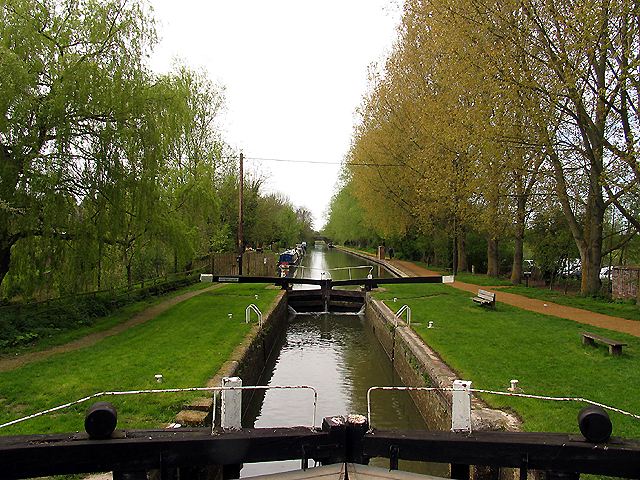
Kintbury Lock
Kintbury Lock is a lock on the Kennet and Avon Canal, at Kintbury, Berkshire, England. The lock has a rise/fall of 5 feet 9 inches (1.75 m). == See... ==

Kintbury Abbey
Kintbury Abbey was a supposed Anglo-Saxon monastery at Kintbury in the English county of Berkshire. It was planned to refound it in 1147, but this never...

Kintbury
Kintbury is a village and civil parish in the West Berkshire district, Berkshire, England, between the towns of Newbury and Hungerford. The village has...
Nearby Amenities
Located within 500m of 51.409688,-1.4406544Have you been to Wawcott?
Leave your review of Wawcott below (or comments, questions and feedback).