Waxham
Settlement in Norfolk North Norfolk
England
Waxham

Waxham is a small village located on the northeast coast of Norfolk, England. Situated between the larger villages of Horsey and Sea Palling, Waxham is part of the district of North Norfolk. This picturesque village has a population of around 200 residents and is known for its unspoiled natural beauty and tranquil atmosphere.
One of Waxham's main attractions is its stunning beach, which stretches for miles along the North Sea. The beach is renowned for its golden sand dunes and crystal-clear waters, making it a popular destination for visitors seeking relaxation and natural beauty. The area is also a haven for wildlife, with a variety of bird species and seals often spotted along the coast.
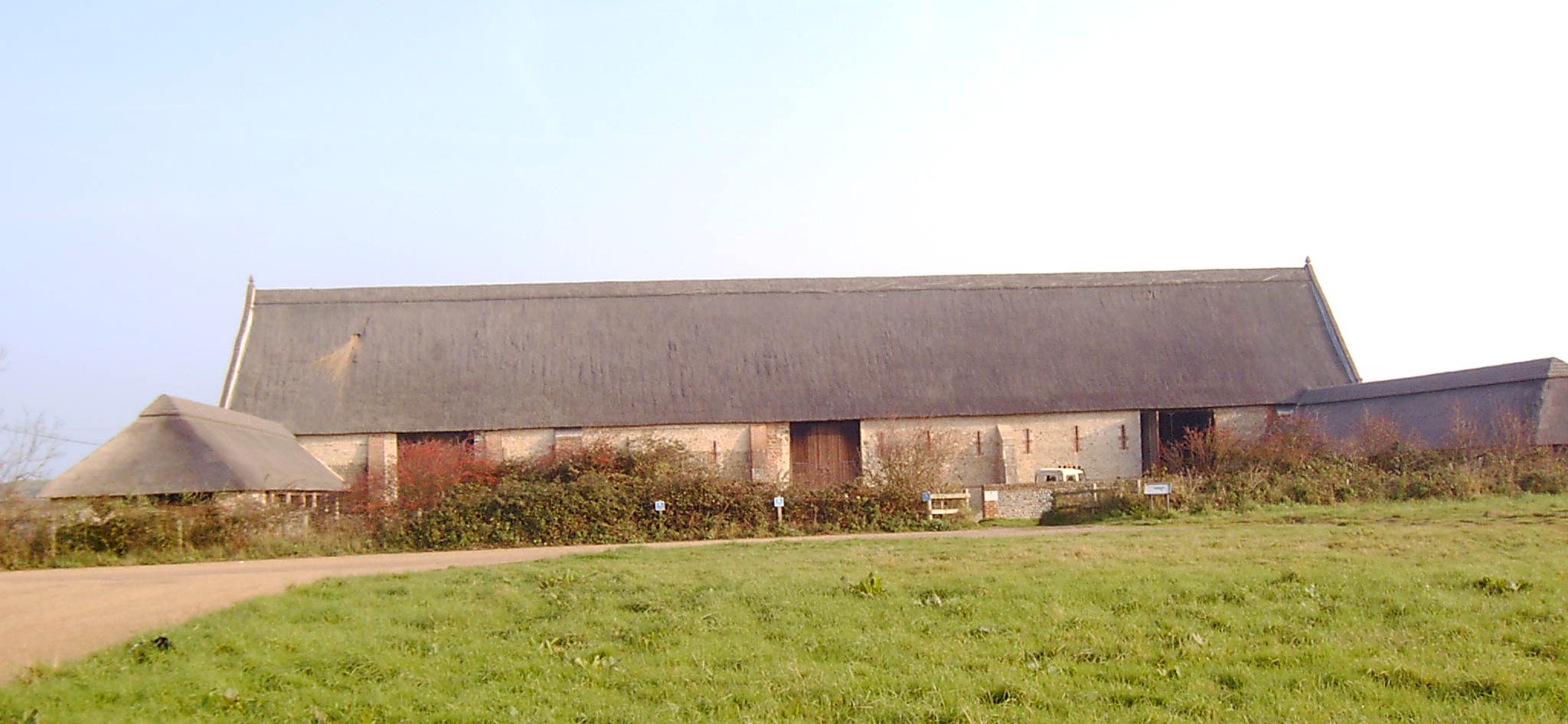
Waxham is rich in history and boasts several historic sites. The most notable is Waxham Great Barn, a magnificent 16th-century thatched barn that stands as one of the largest in the country. The barn, which is now managed by the Norfolk Archaeological Trust, hosts various events and exhibitions throughout the year.
For those seeking outdoor activities, Waxham offers excellent opportunities for walking, cycling, and birdwatching. The village is surrounded by peaceful fields and quiet country lanes, providing a peaceful escape from the hustle and bustle of everyday life.
In terms of amenities, Waxham is a quiet village with limited facilities. However, nearby villages offer a range of amenities such as shops, cafes, and pubs. The area is also well-connected, with good transport links to larger towns and cities, making it an ideal base for exploring the wider Norfolk region.
If you have any feedback on the listing, please let us know in the comments section below.
Waxham Images
Images are sourced within 2km of 52.777716/1.616413 or Grid Reference TG4426. Thanks to Geograph Open Source API. All images are credited.


Waxham is located at Grid Ref: TG4426 (Lat: 52.777716, Lng: 1.616413)
Administrative County: Norfolk
District: North Norfolk
Police Authority: Norfolk
What 3 Words
///reports.quicksand.lists. Near Stalham, Norfolk
Nearby Locations
Related Wikis
Waxham
Waxham is a village and former civil parish, now in the parish of Sea Palling, in the North Norfolk district, in the county of Norfolk, England. It lies...
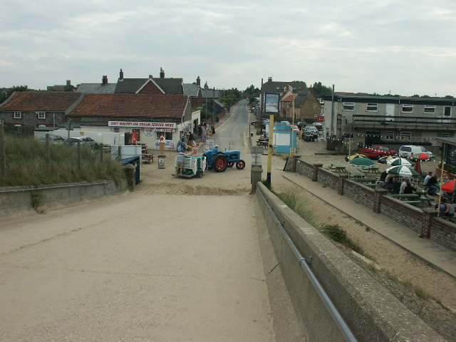
Sea Palling
Sea Palling, also historically spelled Pawling and Pauling, is a village and civil parish covering 11.05 km2 (4.27 sq mi) in the English county of Norfolk...
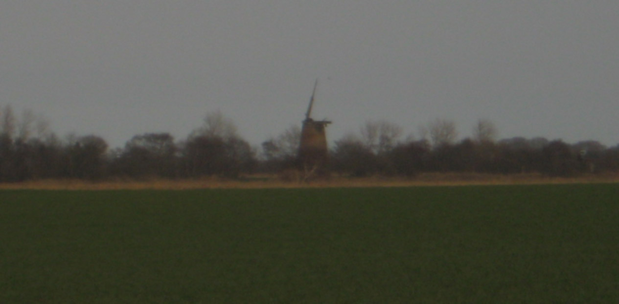
Lambridge Mill
Lambridge Mill also known as Lambrigg Mill is a wind pump located in the parish of Sea Palling within the Norfolk Broads National Park, United Kingdom...
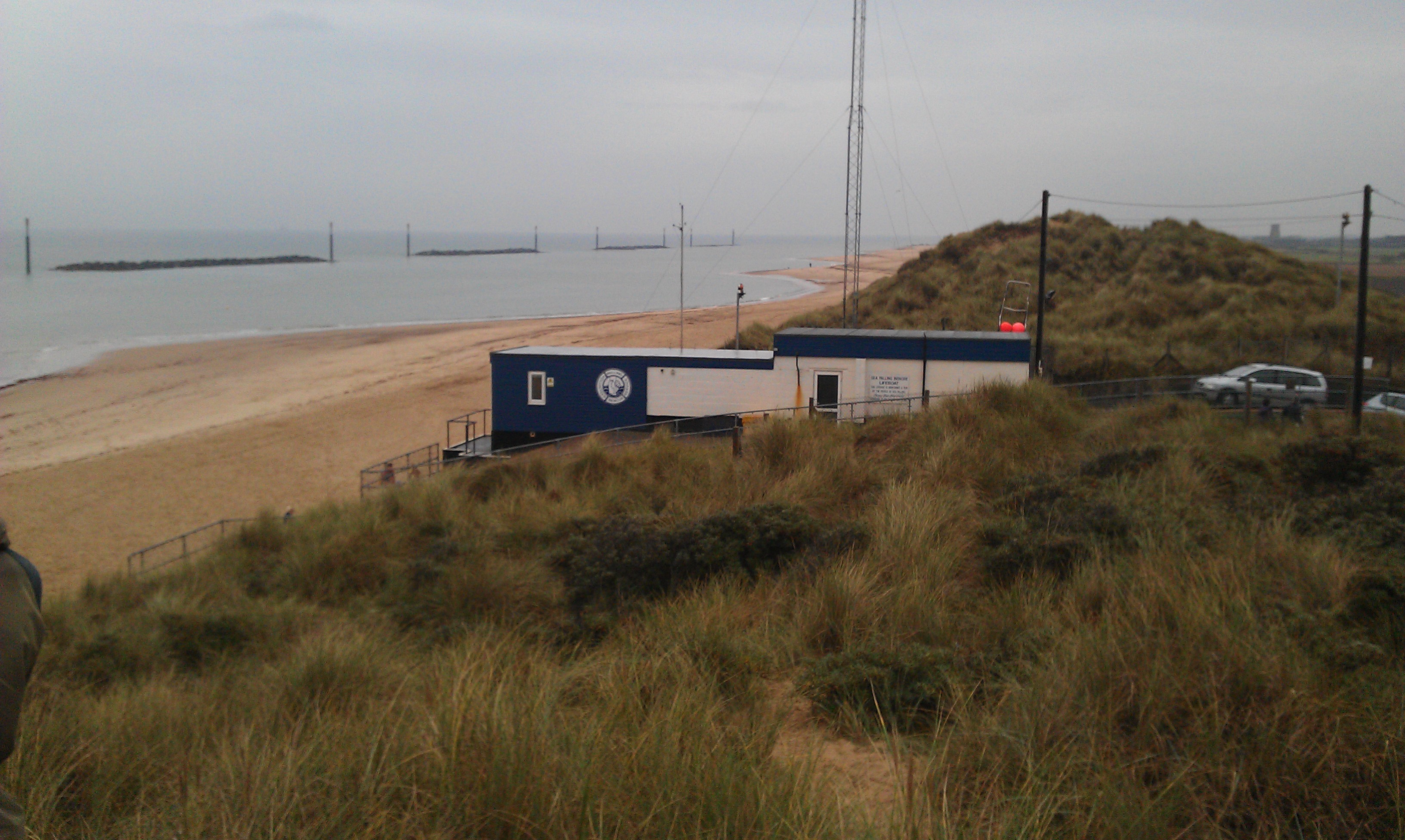
Palling Volunteer Rescue Service
Palling Volunteer Rescue Service was originally an independent, voluntary-staffed and charitably-funded inshore rescue service located in the village of...
Nearby Amenities
Located within 500m of 52.777716,1.616413Have you been to Waxham?
Leave your review of Waxham below (or comments, questions and feedback).