Warwick Wold

Settlement in Surrey Tandridge

England

Warwick Wold

Watercolour A major housing development on the site of the old Holmethorpe sand quarry, marketed as Watercolour, built over the first 15 years or so of the 21st Century. The lake was landscaped from the quarry itself and is now a nature reserve.
Watercolour Credit: Ian Capper

Warwick Wold is a quaint village nestled in the heart of Surrey, England. Located just 20 miles southwest of London, this idyllic countryside retreat offers residents and visitors a peaceful escape from the bustling city life.

Known for its picturesque landscapes, Warwick Wold boasts rolling hills, lush green meadows, and charming farmhouses. The village is surrounded by dense woodlands, making it a haven for nature enthusiasts and hikers. The nearby River Mole adds to the beauty of the area, providing opportunities for fishing and boating.

The community in Warwick Wold is tight-knit and friendly, with a population of around 1,000 residents. The village is home to a primary school, a church, and a handful of local businesses, including a cozy pub where locals gather to socialize and unwind.

Despite its rural setting, Warwick Wold benefits from excellent transport links, with regular trains connecting the village to London and other nearby towns. This makes it an attractive location for commuters who seek a quieter lifestyle while still being within easy reach of the city.

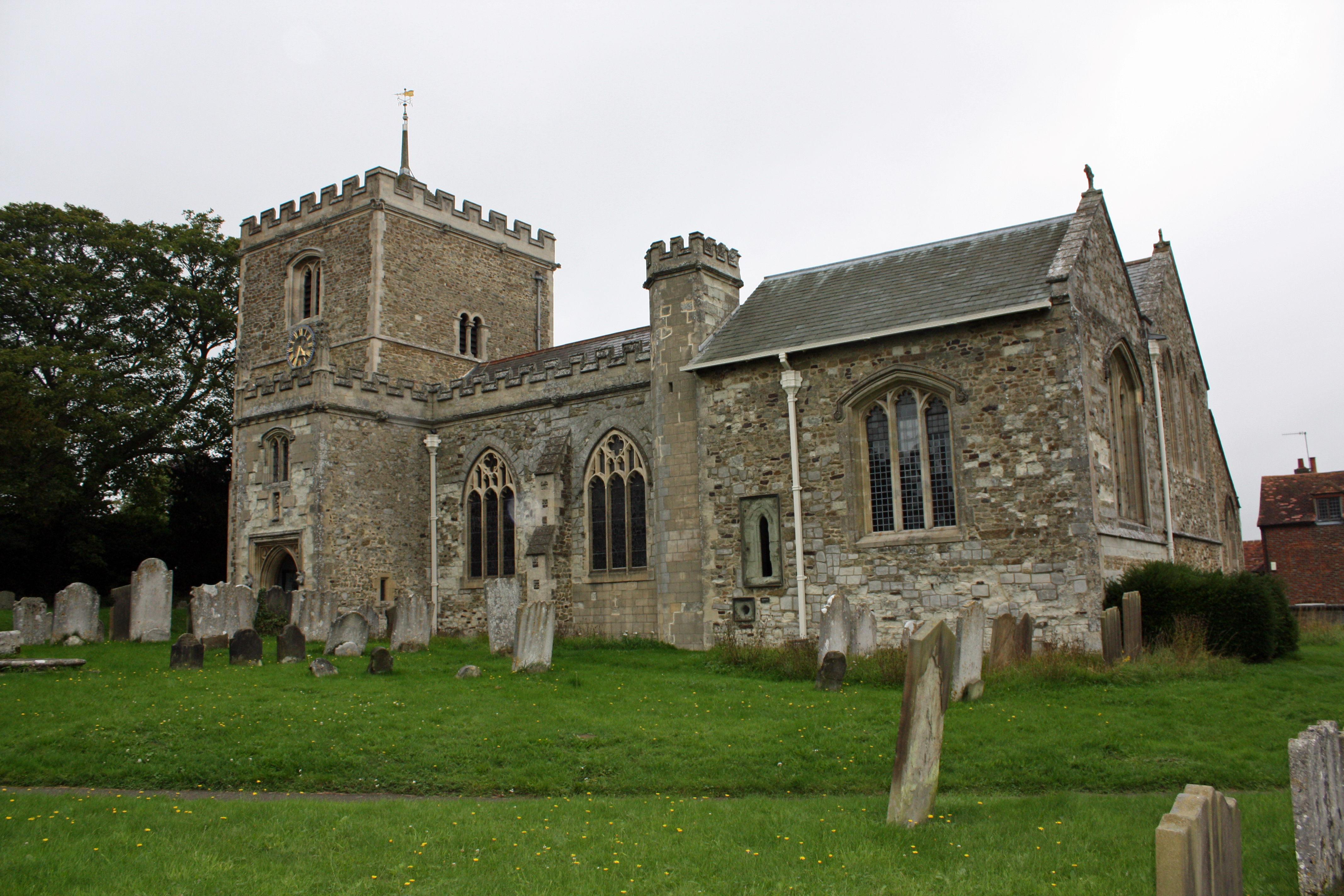
Warwick Wold is also known for its rich history, with remnants of medieval architecture still visible throughout the village. The nearby ruins of Betchworth Castle, a medieval fortification, offer a fascinating glimpse into the area's past.

In summary, Warwick Wold is a charming village that offers a peaceful and picturesque escape from the city. With its stunning natural beauty, friendly community, and convenient location, it is no wonder that this hidden gem in Surrey is a sought-after place to live and visit.

If you have any feedback on the listing, please let us know in the comments section below.
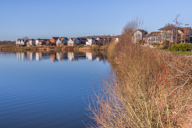
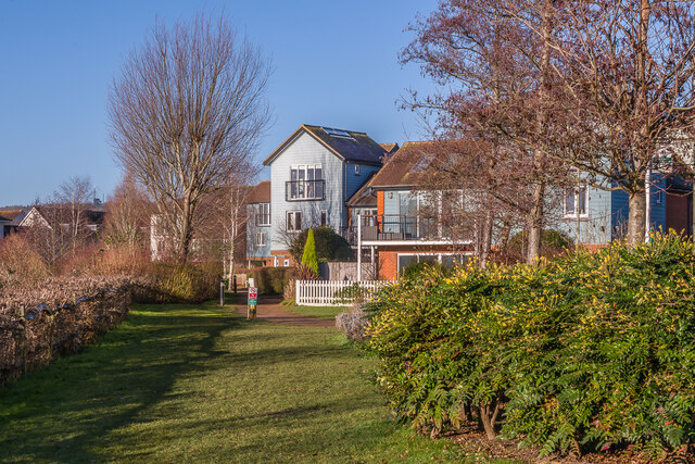
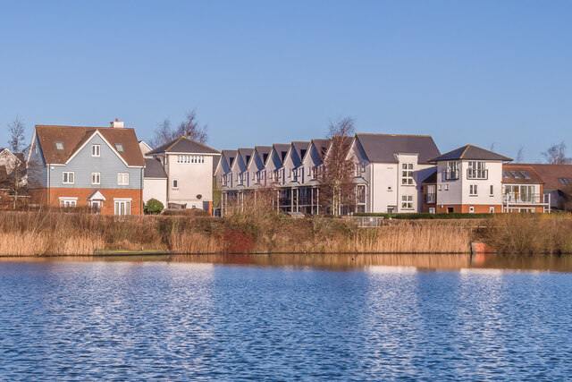
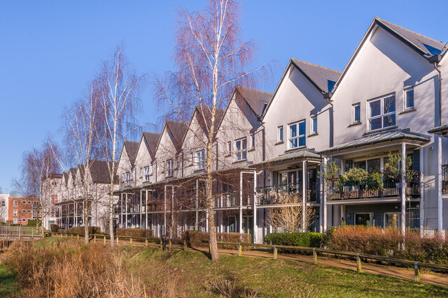
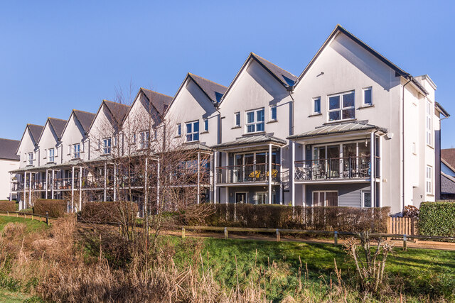
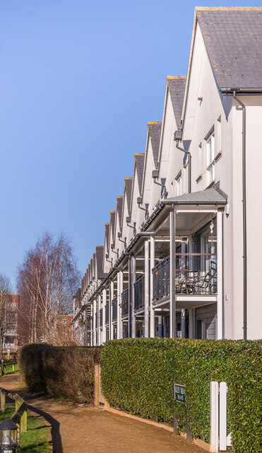
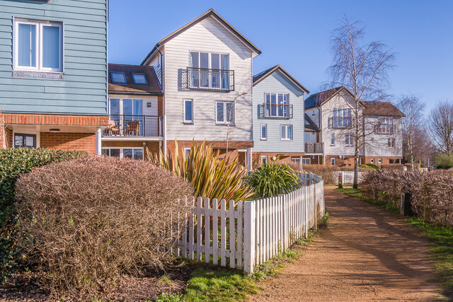
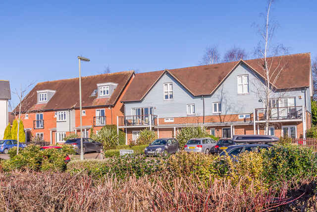
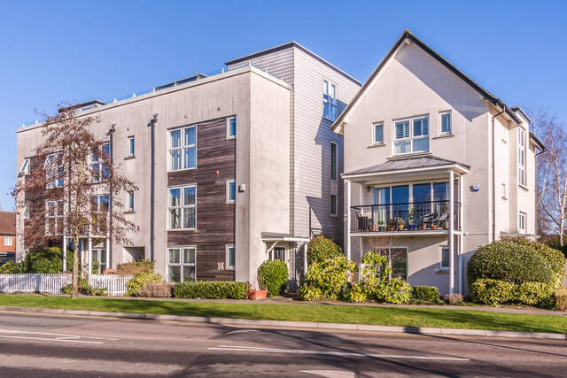
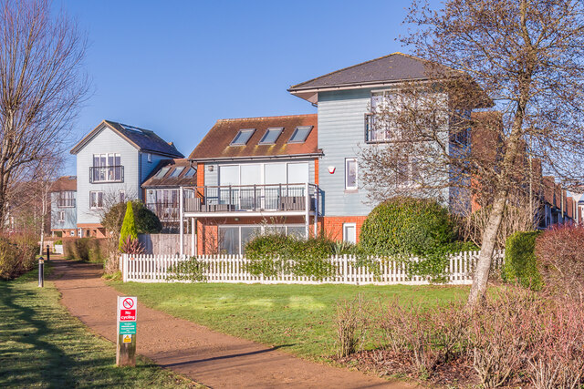
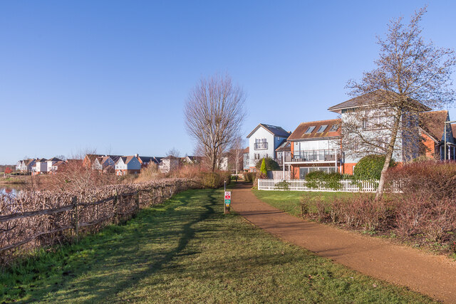
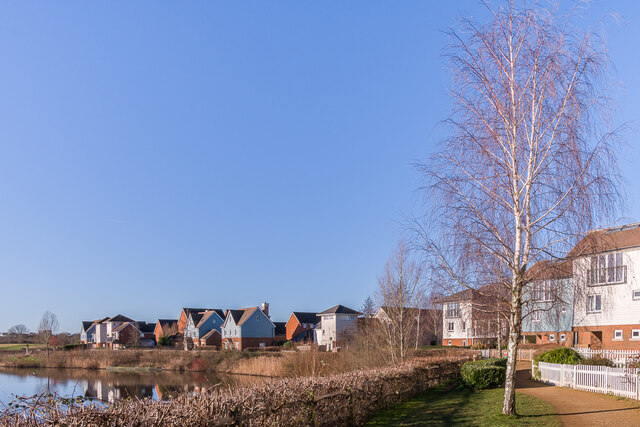
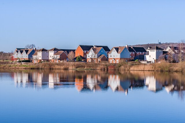
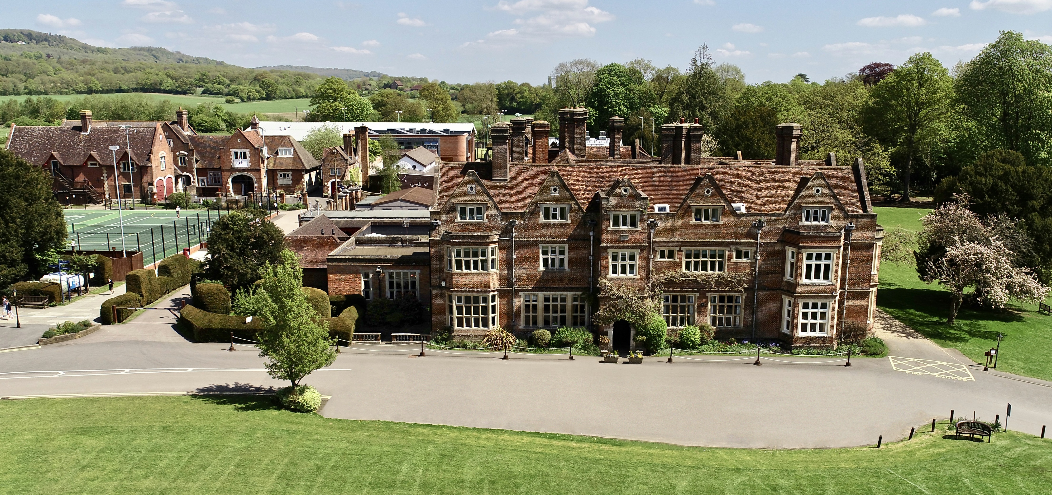
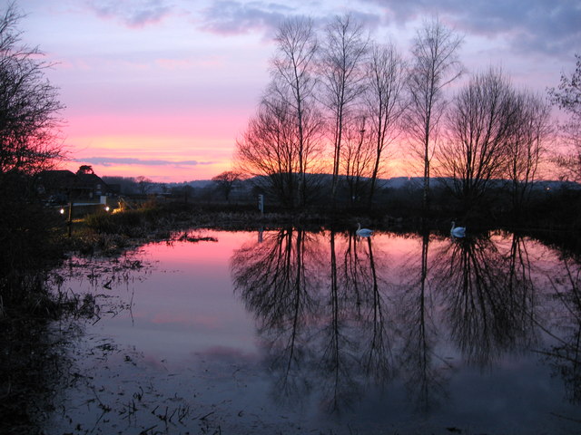
Warwick Wold Images

Images are sourced within 2km of 51.25213/-0.1242689 or Grid Reference TQ3152. Thanks to Geograph Open Source API. All images are credited.

Watercolour A major housing development on the site of the old Holmethorpe sand quarry, marketed as Watercolour, built over the first 15 years or so of the 21st Century. The lake was landscaped from the quarry itself and is now a nature reserve.
Watercolour
A major housing development on the site of the old Holmethorpe sand quarry, marketed as Watercolour, built over the first 15 years or so of the 21st Century. The lake was landscaped from the quarry itself and is now a nature reserve.
Watercolour A major housing development on the site of the old Holmethorpe sand quarry, marketed as Watercolour, built over the first 15 years or so of the 21st Century. The houses here are in Lilley Mead and Holmesdale Avenue.
Watercolour
A major housing development on the site of the old Holmethorpe sand quarry, marketed as Watercolour, built over the first 15 years or so of the 21st Century. The houses here are in Lilley Mead and Holmesdale Avenue.
Watercolour A major housing development on the site of the old Holmethorpe sand quarry, marketed as Watercolour, built over the first 15 years or so of the 21st Century. The houses here are in The Moors and Lilley Mead.  The lake was landscaped from the quarry itself and is now a nature reserve.
Watercolour
A major housing development on the site of the old Holmethorpe sand quarry, marketed as Watercolour, built over the first 15 years or so of the 21st Century. The houses here are in The Moors and Lilley Mead. The lake was landscaped from the quarry itself and is now a nature reserve.
The Moors Houses in The Moors, part of Watercolour, a major housing development on the site of the old Holmethorpe sand quarry, built over the first 15 years or so of the 21st Century.  These buildings were completed in c.2008.
The Moors
Houses in The Moors, part of Watercolour, a major housing development on the site of the old Holmethorpe sand quarry, built over the first 15 years or so of the 21st Century. These buildings were completed in c.2008.
Hylton Place Houses in Hylton Place, part of Watercolour, a major housing development on the site of the old Holmethorpe sand quarry, built over the first 15 years or so of the 21st Century.  These buildings were completed in 2009.
Hylton Place
Houses in Hylton Place, part of Watercolour, a major housing development on the site of the old Holmethorpe sand quarry, built over the first 15 years or so of the 21st Century. These buildings were completed in 2009.
Hylton Place/Daws Place Houses in Hylton Place (the left hand end of this block) and Daws Place (the right hand end), part of Watercolour, a major housing development on the site of the old Holmethorpe sand quarry, built over the first 15 years or so of the 21st Century.  These buildings were completed in 2008/9.
Hylton Place/Daws Place
Houses in Hylton Place (the left hand end of this block) and Daws Place (the right hand end), part of Watercolour, a major housing development on the site of the old Holmethorpe sand quarry, built over the first 15 years or so of the 21st Century. These buildings were completed in 2008/9.
Daws Place/Lilley Mead Houses in Daws Place (the left hand end of this block) and Lilley Mead (the right hand end), part of Watercolour, a major housing development on the site of the old Holmethorpe sand quarry, built over the first 15 years or so of the 21st Century.  These buildings were completed in 2008/9.
Daws Place/Lilley Mead
Houses in Daws Place (the left hand end of this block) and Lilley Mead (the right hand end), part of Watercolour, a major housing development on the site of the old Holmethorpe sand quarry, built over the first 15 years or so of the 21st Century. These buildings were completed in 2008/9.
Daws Place/Lilley Mead Houses in Lilley Mead (nearest) and Daws Place (beyond), part of Watercolour, a major housing development on the site of the old Holmethorpe sand quarry, built over the first 15 years or so of the 21st Century.  These buildings were completed in 2008/9.
Daws Place/Lilley Mead
Houses in Lilley Mead (nearest) and Daws Place (beyond), part of Watercolour, a major housing development on the site of the old Holmethorpe sand quarry, built over the first 15 years or so of the 21st Century. These buildings were completed in 2008/9.
Lilley Mead Houses in Lilley Mead, part of Watercolour, a major housing development on the site of the old Holmethorpe sand quarry, built over the first 15 years or so of the 21st Century.  These buildings were completed in 2007.
Lilley Mead
Houses in Lilley Mead, part of Watercolour, a major housing development on the site of the old Holmethorpe sand quarry, built over the first 15 years or so of the 21st Century. These buildings were completed in 2007.
2 - 10 Holmesdale Avenue Houses in Holmesdale Avenue, part of Watercolour, a major housing development on the site of the old Holmethorpe sand quarry, built over the first 15 years or so of the 21st Century.  These buildings were completed in 2006.
2 - 10 Holmesdale Avenue
Houses in Holmesdale Avenue, part of Watercolour, a major housing development on the site of the old Holmethorpe sand quarry, built over the first 15 years or so of the 21st Century. These buildings were completed in 2006.
12 - 18 Holmesdale Avenue Houses in Holmesdale Avenue, part of Watercolour, a major housing development on the site of the old Holmethorpe sand quarry, built over the first 15 years or so of the 21st Century.  These buildings were completed in 2006/7.
12 - 18 Holmesdale Avenue
Houses in Holmesdale Avenue, part of Watercolour, a major housing development on the site of the old Holmethorpe sand quarry, built over the first 15 years or so of the 21st Century. These buildings were completed in 2006/7.
Watercolour A major housing development on the site of the old Holmethorpe sand quarry, marketed as Watercolour, built over the first 15 years or so of the 21st Century. The houses here are in Lilley Mead and Holmesdale Avenue.
Watercolour
A major housing development on the site of the old Holmethorpe sand quarry, marketed as Watercolour, built over the first 15 years or so of the 21st Century. The houses here are in Lilley Mead and Holmesdale Avenue.
Watercolour A major housing development on the site of the old Holmethorpe sand quarry, marketed as Watercolour, built over the first 15 years or so of the 21st Century. The nearer houses here are in Lilley Mead and Holmesdale Avenue.
Watercolour
A major housing development on the site of the old Holmethorpe sand quarry, marketed as Watercolour, built over the first 15 years or so of the 21st Century. The nearer houses here are in Lilley Mead and Holmesdale Avenue.
Watercolour A major housing development on the site of the old Holmethorpe sand quarry, marketed as Watercolour, built over the first 15 years or so of the 21st Century. The nearer houses here are in Lilley Mead.
Watercolour
A major housing development on the site of the old Holmethorpe sand quarry, marketed as Watercolour, built over the first 15 years or so of the 21st Century. The nearer houses here are in Lilley Mead.
Watercolour A major housing development on the site of the old Holmethorpe sand quarry, marketed as Watercolour, built over the first 15 years or so of the 21st Century.  The lake was landscaped from the quarry itself and is now a nature reserve.  In the right background are the TV transmitters on Reigate Hill.
Watercolour
A major housing development on the site of the old Holmethorpe sand quarry, marketed as Watercolour, built over the first 15 years or so of the 21st Century. The lake was landscaped from the quarry itself and is now a nature reserve. In the right background are the TV transmitters on Reigate Hill.
Reeds Meadow, 2010 Water is the theme of this large development of the former BIS (British Industrial Sand) site. Although externally complete, many of the houses on this road were being fitted out internally.
Reeds Meadow, 2010
Water is the theme of this large development of the former BIS (British Industrial Sand) site. Although externally complete, many of the houses on this road were being fitted out internally.
Cormongers Lane
Cormongers Lane
Show me another place!

Warwick Wold is located at Grid Ref: TQ3152 (Lat: 51.25213, Lng: -0.1242689)

Administrative County: Surrey

District: Tandridge

Police Authority: Surrey

What 3 Words

///reason.drive.towers. Near Bletchingley, Surrey

Nearby Locations

Warwick Wold

Related Wikis

Nearby Amenities

Located within 500m of 51.25213,-0.1242689
Barrier: stile
Lat/Long: 51.2487806/-0.121891
Traffic Sign: variable_message
Variable Message Model: AMI
Lat/Long: 51.249901/-0.1207313
Traffic Sign: variable_message
Variable Message Model: AMI
Lat/Long: 51.2499139/-0.1206864
Traffic Sign: variable_message
Variable Message Model: AMI
Lat/Long: 51.2499282/-0.1206368
Traffic Sign: variable_message
Variable Message Model: AMI
Lat/Long: 51.2499409/-0.1205929
Camera Mount: pole
Camera Type: panning
Man Made: surveillance
Operator: National Highways
Operator Wikidata: Q5760006
Surveillance: outdoor
Surveillance Type: camera
Surveillance Zone: traffic
Lat/Long: 51.254852/-0.1241893
Traffic Sign: variable_message
Variable Message Model: AMI
Lat/Long: 51.2548945/-0.1239959
Traffic Sign: variable_message
Variable Message Model: AMI
Lat/Long: 51.2548842/-0.1240428
Traffic Sign: variable_message
Variable Message Model: AMI
Lat/Long: 51.2548717/-0.1240996
Traffic Sign: variable_message
Variable Message Model: AMI
Lat/Long: 51.2548595/-0.1241554
Camera Mount: pole
Camera Type: panning
Man Made: surveillance
Operator: National Highways
Operator Wikidata: Q5760006
Surveillance: outdoor
Surveillance Type: camera
Surveillance Zone: traffic
Traffic Sign: variable_message
Variable Message Model: MS4
Lat/Long: 51.2523212/-0.1226923
Camera Mount: pole
Camera Type: panning
Man Made: surveillance
Operator: National Highways
Operator Wikidata: Q5760006
Surveillance: outdoor
Surveillance Type: camera
Surveillance Zone: traffic
Lat/Long: 51.2498878/-0.1207768
Traffic Sign: variable_message
Variable Message Model: AMI
Lat/Long: 51.2498749/-0.1208219
Traffic Sign: variable_message
Variable Message Model: AMI
Lat/Long: 51.2498608/-0.1208707
Traffic Sign: variable_message
Variable Message Model: AMI
Lat/Long: 51.2498481/-0.1209148
Traffic Sign: variable_message
Variable Message Model: AMI
Lat/Long: 51.2498317/-0.1209715
Traffic Sign: variable_message
Variable Message Model: MS4
Lat/Long: 51.2499604/-0.1205251
Rottms Distance: 1 mile
Traffic Sign: variable_message
Variable Message Model: ROTTMS
Lat/Long: 51.2533314/-0.1227593
The data included in this document is from www.openstreetmap.org. The data is made available under ODbL.

Have you been to Warwick Wold?

Leave your review of Warwick Wold below (or comments, questions and feedback).